Data sources and licences
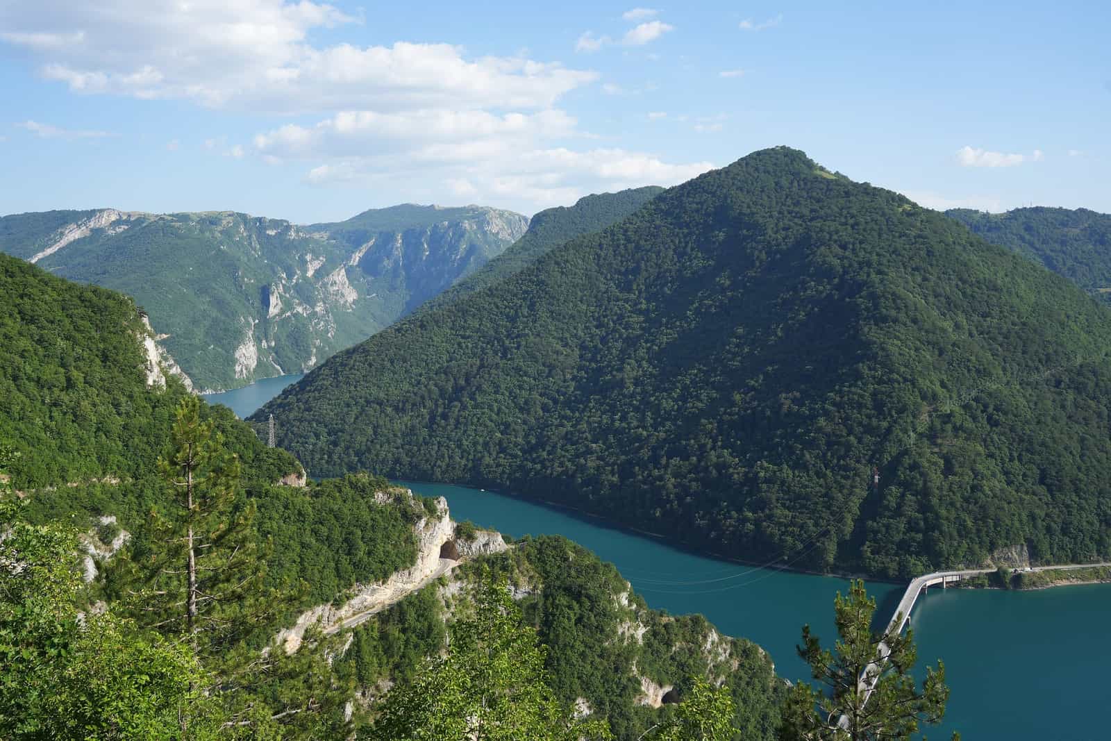
Photo: Ingo Mehling · CC BY-SA 4.0

Every fact on eMontenegro has a source. Here are all of them: the official registers and institutions behind heights, lengths, fees and opening hours, the live feeds behind weather, sea, snow, roads, power cuts and air quality, the map and routing data, and the photo licences. Each item page and directory row names its own sources in a "Sources" toggle; the short credits that a licence requires (Copernicus Marine, MET Norway, data.gov.me, OpenStreetMap) stay visible next to the data. Official Montenegrin institutions come first; third-party directories are used only as a cross-check and never copied.
Official statistics and registers
| Source | What it gives the site | Terms and credit |
|---|---|---|
| MONSTAT, Statistical Office of Montenegro (statistical yearbook, 2023 census) | Peak heights, areas, populations of towns and settlements. The standard figure for heights, areas and depths. | Public statistics; cited by publication. |
| Water Administration, Registar voda od značaja za Crnu Goru | River lengths, sources and mouths. The standard figure for rivers. | Public register; cited by entry and page. |
| data.gov.me, the government open data portal | Municipality facts, health institutions, tourist offices, wineries, the holidays law, and the weekly maximum fuel prices published by the Ministry of Mining, Oil and Gas. | Open data, CC BY per dataset; the credit "data.gov.me" stays visible wherever a dataset is used. |
| Službeni list Crne Gore (Official Gazette) and gov.me | Laws and rulebooks quoted on the legal pages (drones, tourist tax, registration, holidays, traffic), ministry registers of embassies and veterinary clinics. | Public legal texts; cited by gazette number and article. The Paragraf copy of the traffic law is watched only to notice changes. |
| Central Bank of Montenegro (CBCG), register of banks | Which banks are licensed; the basis of the ATM and bank directory. | Public register. |
| Central Tourism Register (ctr.gov.me) | Registered campsites and other tourism businesses by municipality. | Public register; cited by query. |
Places
| Source | What it gives the site | Terms and credit |
|---|---|---|
| National Parks of Montenegro (nparkovi.me) | Park fees, rules, trails and visitor information for Durmitor, Biogradska gora, Lovćen, Skadar Lake and Prokletije. The five price lists are watched for changes. | Institution's own publications; cited by page or PDF. |
| JP Morsko dobro, Public Enterprise for Coastal Zone Management | Beach catalogue and brochure (lengths, type, lifeguard service), protected marine areas. | Institution's own publications; cited by page or PDF. |
| Blue Flag Montenegro | Which beaches and marinas hold a Blue Flag in a given year; the list is watched for changes. | Public list; the year is stated in the text. |
| National Tourism Organisation (montenegro.travel) and local tourist organisations (for example Kolašin, Žabljak, Rožaje) | Trails, canyons, seasons, access, local events, tourist offices. | Institutions' own publications; cited by page. |
| Museums, monasteries, municipalities and operators (own sites) | Opening hours, tickets, tariffs, timetables. The National Museum, the Kotor and Budva museums and the Kotor cable car are watched for changes. | Facts cited by page and date; no text or photos copied. |
| KACG, the Montenegrin camping association | Cross-check for campsites: a site appears only when the register, the association or OpenStreetMap and the campsite's own page agree. | Association member profiles, not an official source; cited next to the register. |
Health directory
| Source | What it gives the site | Terms and credit |
|---|---|---|
| Ministry of Health open data on data.gov.me (including the Apoteke Montefarm dataset) | Names, addresses and phones of hospitals and health centres; Montefarm pharmacies. | CC BY; attributed to the Ministry of Health of Montenegro. |
| Montefarm | State pharmacies: addresses, phones, hours, the pharmacies it marks as open 00-24. Read daily; a changed page goes to review before anything changes on the site. | Institution's own site; cited by page. |
| Health Insurance Fund of Montenegro (fzocg.me) | Private pharmacies under contract with the Fund (its current list, read daily); health institutions in the public network. | Public lists; cited by document and date. |
| apoteke.me | Cross-check for private pharmacies on no official list and for 00-24 status: a pharmacy is listed only when OpenStreetMap shows the same name at the same place. Read weekly, into a review list only. | Private directory whose terms allow personal, non-commercial use: nothing copied, no listing owned by it; cited next to OpenStreetMap. |
| Zavod za hitnu medicinsku pomoć (hitna.me) and the Clinical Centre of Montenegro | Emergency medical units by municipality, the 124 number, the Clinical Centre's contacts. | Institutions' own sites; cited by page. |
Banks, post offices and other directories
| Source | What it gives the site | Terms and credit |
|---|---|---|
| CBCG register of banks (above) | The licensed banks. | Public register. |
| Banks' own branch and ATM locators | Branch and ATM addresses, 24-hour and cash-deposit flags, map points. | Each row cites the bank's page. |
| Pošta Crne Gore | Post offices: addresses, hours and map points. | Institution's own site; cited by page. |
| gov.me ministry lists | Embassies, consulates and honorary consulates; licensed veterinary clinics. | Public registers; cited by page. |
| Jugopetrol, Petrol and Lukoil station locators, with OpenStreetMap | Fuel station addresses and map points. Prices come from the ministry notices on data.gov.me, never from the companies' pages. | Company locators; each row cites its page. |
| Open Charge Map and OpenStreetMap | EV charging points, merged by distance from the two sources and refreshed weekly; every price change waits for review. | Open Charge Map data CC BY 4.0, credit "Open Charge Map (CC BY 4.0)"; OpenStreetMap under ODbL. |
Roads, transport and cameras
| Source | What it gives the site | Terms and credit |
|---|---|---|
| AMSCG, Auto-moto savez Crne Gore, daily road report | Road conditions: closures, restrictions, works. Read each morning and summarised in the site's own words; nothing is shown when the read fails. | Credited and linked on the road conditions page and in the "Right now" cards. |
| Monteput | Service notices for the Bar-Boljare motorway and the Sozina tunnel, restated in four languages with a link to each post; the toll tables are watched for changes; the motorway and tunnel cameras. | Operator's own publications; every notice links its post and names Monteput. |
| trajekt.me (Pomorski saobraćaj, the Kamenari-Lepetane ferry) | Ferry timetable periods and prices, restated as names and numbers with the date last checked. | Operator's own site; linked. |
| ŽPCG, Željeznički prevoz Crne Gore | Train departures and fares, restated with the date last checked; station rows. | Operator's own site; the timetable link stays visible. |
| Montenegro Airports | Airport facts, parking and transport pages, baggage rules. | Operator's own site; cited by page. |
| MUP Crne Gore border cameras and the other webcam operators: BIHAMK, Monteput, ski resorts, tourist organisations and private camera sites | The webcams page: each camera is a card with its operator, status and a link to the operator's own page. Only the Tivat tourist organisation's YouTube stream plays on the site, on click. | No feed is copied or framed; the operator is named on every card. |
Weather, sea, snow, power, water and air
| Source | What it gives the site | Terms and credit |
|---|---|---|
| MET Norway, Norwegian Meteorological Institute | Weather forecasts for towns, places and ski resorts, refreshed hourly. | CC BY 4.0; the credit "MET Norway" stays visible on every weather and snow widget. |
| Copernicus Marine Service, Mediterranean Sea SST L4 NRT (CNR-ISMAR) | Night-time sea surface temperature for five points on the coast, satellite-derived, read daily. | Free for any purpose with the credit "Generated using E.U. Copernicus Marine Service Information" and the DOI 10.48670/moi-00172, shown wherever a value appears. |
| ZHMS, Institute of Hydrometeorology and Seismology of Montenegro | Measured snow depth at the mountain stations, read daily; the 1961-1990 climate normals behind the month tables. | Credit "Source: ZHMS" on the snow widgets; normals cited by publication. |
| CEDIS, the electricity distribution company | Planned power cuts by municipality and day, read hourly, with the 24-hour dispatcher numbers. | No reuse licence: notices are shown as published, in Montenegrin, with a link and credit. |
| Vodovod i kanalizacija Podgorica (vikpg.me) | Water outage notices for Podgorica, read every half hour. | No reuse licence: shown as published, with a link and credit. |
| Environmental Protection Agency (EPA), air quality | The latest hour of every monitoring station with its CAQI band, read hourly. | CC0 1.0 on data.gov.me; the agency is named as the source. |
Maps and routing
| Source | What it gives the site | Terms and credit |
|---|---|---|
| OpenStreetMap | Map tiles; river lines; some map points (summits, street-level points for listings without an official coordinate, marked "approximate"); charging stations and fuel stations from the Montenegro extract. OSM data is kept as its own layer and never merged into records built from official sources. | © OpenStreetMap contributors, Open Database License (ODbL); the credit is shown in the footer and on every map. |
| OSRM on the OpenStreetMap Montenegro extract | Driving and walking times and road lines for "nearby", town facts and itineraries, refreshed monthly. | Open-source routing engine; results carry the OpenStreetMap credit. |
Photos
| Source | What it gives the site | Terms and credit |
|---|---|---|
| Wikimedia Commons | Most photos of places: towns, beaches, mountains, lakes, monuments. | Per-file licence (Creative Commons or public domain); the author and licence appear under the photo where the licence asks for it, each linked to the original. |
| Pixabay, Pexels, Unsplash and Flickr | Some scenery photos and the home page clip. | Each file's own licence (the site's content licence, or Creative Commons on Flickr), recorded with author and source; credited where required. |
Every photo file has its author, licence and source on record. Photos supplied by the owner are added over time and marked as such.
What we do not use
- Google Maps and Google Places as a content source (their terms do not allow building a database from them).
- Entries, text or photos from Tripadvisor, Booking, PlanPlus, rome2rio or travel blogs. They are read for comparison only.
- Ratings from any other site.
- Windy or other third-party webcam aggregators.
Found a source we should be using, or one we are crediting wrongly? Write to contact@emontenegro.com.