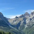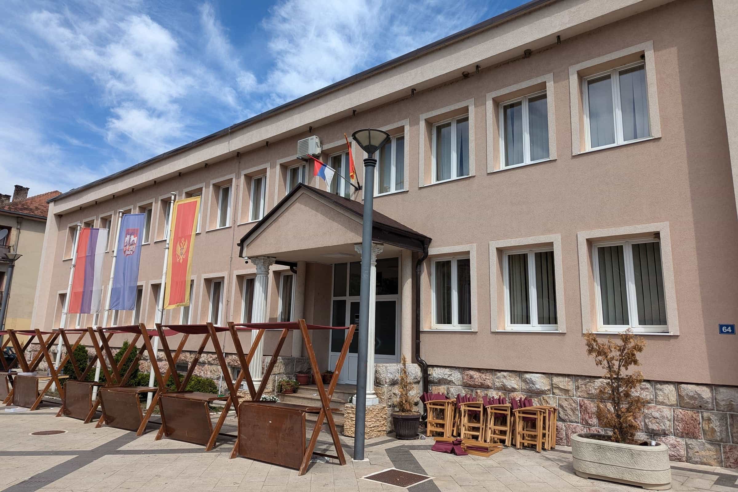
Photo: Андрей Романенко · CC BY-SA 4.0
About Andrijevica
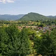
Andrijevica is a small town at 740 m on the Lim, where the Zlorečica flows in, in the north-east of Montenegro between Komovi, Bjelasica and Prokletije. It had 960 residents at the 2023 census and the municipality 3,910. People come here to climb Komovi from the Štavna plateau, to drive the Trešnjevik pass and to fish the upper Lim. Berane is 16 km away, Plav 25 km and Podgorica 105 km over the motorway and the pass; in town there is one hotel and a memorial park, so most people stay a night on the way to the mountains.
Getting there
From Podgorica take the Smokovac-Mateševo motorway, then the old road over the Trešnjevik pass: 105 km, about 1 h 50. The valley road through Kolašin, Mojkovac and Berane is longer but avoids the pass, which is useful in winter: no closure data are published for Trešnjevik, so check the road conditions before you go. There is no railway; the nearest station is Bijelo Polje on the Bar-Belgrade line, about 50 km away. Buses link the town with the other towns of the region, but no operator or timetable is published; the buses guide explains how the network works. The times below are without traffic.
| From | Distance | Driving time |
|---|---|---|
| Berane | 15.9 km | about 20 min |
| Plav | 25.2 km | about 36 min |
| Gusinje | 33.3 km | about 46 min |
| Rožaje | 46.3 km | about 1 h 04 |
| Kolašin (over Trešnjevik) | 48.3 km | about 56 min |
| Bijelo Polje | 50.1 km | about 1 h 02 |
| Mojkovac | 62.6 km | about 1 h 25 |
| Biogradsko jezero | 69.5 km | about 1 h 32 |
| Podgorica | 105.0 km | about 1 h 51 |
| Podgorica Airport | 115.8 km | about 2 h 06 |
| Žabljak | 134.0 km | about 2 h 38 |
| Tivat Airport | 189.9 km | about 3 h 34 |
Trešnjevik and Komovi
The old road to Kolašin leaves the Berane road 900 m from the centre and climbs to the Trešnjevik pass (1,573 m), 18.3 km from town; the last 8 km take eight hairpins. At the pass, marked trails start for the katun Vranjak and for Lisa and Lumer, and a detour of a few kilometres leads to the foot of Komovi. The pass is a stop on day 8 of the 10-day loop.

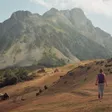
Komovi is a nature park of 68 km² shared by Andrijevica, Kolašin and Podgorica. The marked routes start on the Štavna plateau at 1,764 m: the ascent of Kučki kom, at 2,487 m the highest of the three Koms (Vasojevićki kom is 2,460 m), and the loop around the massif. For a first climb, go with the local mountaineering club. Eko katun Štavna, at the foot of the peaks, has ten bungalows with five beds and a bathroom each and a 30-seat restaurant. The hiking season runs from June to the end of October; no official road distance from the town to Štavna is published.

The Lim and the villages
The Andrijevica fly-fishing zone covers the Lim and its tributaries, among them the Zlorečica, which joins the Lim just before the town: brown trout, grayling and rainbow trout, catch and release only, best in September and October. The zone rules are on the fly-fishing page. More than 100 km of trails are marked in the municipality, and the CT-1 long-distance trail crosses it; besides Komovi, the peaks include Zeletin, Gradišnica (1,839 m), Jarinja glava (1,548 m) and Balj (1,557 m), the take-off for paragliding. On the Bjelasica side the village of Lisa, known for its rakija and cheese, leads to the Krivi Do mountain hut, which has beds. The villages below Komovi have wild strawberries and blueberries in summer, and fruit and rakija-making in autumn; see local food.

In town
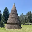
The Knjaževac memorial park, about 0.5 km from the centre, holds the main Second World War monument unveiled on 17 July 1967, an obelisk from 1931 and the Church of St Michael the Archangel from 1887; it is the setting for the 1 May gathering. The Centre for culture and sport Mihailo Lalić (+382 51 230 674) hosts the municipal day session and concerts. About 1 km south-west of the town, on the hill Grace in the village of Božići, stood a medieval fortress at the junction of the Lim and Zlorečica roads, and a Roman tombstone survives in Zabrđe. Hotel Komovi, a mountain-style hotel with 96 beds in 42 rooms and a restaurant, is the town's hotel.
History in brief
The town is named after the church Andrijevna, built in the 13th century by Prince Andrija of Zahumlje, son of Prince Miroslav, Stefan Nemanja's brother. It kept a wood-carving and copying workshop and was burned and rebuilt many times under Ottoman rule; accounts of its final destruction differ between 1765 and 1877. The town itself grew around the church from the mid-19th century (the municipality dates it to 1853). In 1858 vojvoda Miljan Vukov proclaimed the Vasojevići part of Montenegro; after the war of 1876-1878 Andrijevica became the seat of the Upper Vasojevići, where he set up the first state institutions, and the main political centre of northern Montenegro, with 20 houses in 1882 and a small town along the Lim road by 1912. A state school opened in 1863 and a reading room in 1892. It remained a district and county seat until 1951; the municipality was abolished on 15 April 1960, its functions passing to Berane, and re-established in 1991. On 17 July 1941 the first shot of the uprising against the Italian occupation in the area was fired at Crvene prle; the date is the municipal day.
Events
- 1 May: traditional people's gathering (narodni sabor) at the Knjaževac memorial park.
- 12 May: Beekeepers' day.
- Late May: Dani sremuša (wild garlic days) at the Mojan hostel, run by the Komovi Nature Park and the tourist organisation (Montenegro in May). On the last weekend of May the Lim regatta takes rafts from the Lim's source at Plav to the mouth of the Mileševka in Serbia, organised with the tourist boards of the Lim towns.
- Late June and July: the Vidovdan night five-a-side football tournament in Kralje, a tournament in Andrijevica in mid-July, and Igrom protiv zaborava at Ulotina at the end of July.
- Mid-July: Raspberry Days (Dani maline).
- 17 July: the municipal day, with wreaths laid at Crvene prle and a formal session at the culture centre.
- Second weekend of August: a mountaineering memorial on Vasojevićki kom; a jeep safari follows at the end of August.
Without fixed dates: the international fly-fishing memorial Milan-Mile Radoičić, a folklore show, the Spasovdan gathering and a scouts' meeting and table-tennis tournament in Kralje. The tourist organisation's list carries no years, so confirm a date before travelling for it.
Practical information
- Tourist organisation: Branka Deletića bb, +382 51 243 113, +382 69 980 769. Municipality: Branka Deletića 64A, +382 51 230 690.
- Health: health centre (Dom zdravlja), Branka Deletića bb, +382 51 243 407; emergency 124; pharmacies Montefarm and Help. The nearest hospital is the Clinical-Hospital Centre in Berane, 15.9 km away (hospitals).
- Money and post: ATMs of CKB, Erste and Prva banka; postcode 84320 (Trepča 84322); a Jugopetrol station.
- Where to stay: Hotel Komovi in town, Eko katun Štavna below Komovi, the Krivi Do hut on the Bjelasica side, and private rooms.
Nearby
- Berane, 16 km: the hospital, the Monument to Freedom on Jasikovac and the Bendovac viewpoint.
- Plav, 25 km, with Plav Lake, Visitor and the road into Prokletije National Park; see Plav in 3 days.
- Kolašin, 48 km over Trešnjevik, with the Kolašin 1600 and Kolašin 1450 ski resorts and the Kolašin in 3 days plan.
- Biogradsko jezero in Biogradska gora, 69.5 km by road.
- The northern Montenegro page sets Andrijevica beside the other mountain towns; memorials and viewpoints list the park and the pass.
Questions
How far is Andrijevica from Podgorica?
105 km by road, about 1 h 50, via the Smokovac-Mateševo motorway and the Trešnjevik pass.
Is there a train to Andrijevica?
No. The nearest station is Bijelo Polje on the Bar-Belgrade line, about 50 km away.
How do I get to Komovi from Andrijevica?
Take the old road to Kolašin over the Trešnjevik pass; the marked routes on Komovi start on the Štavna plateau at 1,764 m, where the eco-katun is.
How far are Berane and Plav?
Berane is 15.9 km, about 20 minutes; Plav 25.2 km, about 36 minutes.
How high is Andrijevica and how many people live there?
The town lies at 740 m. The 2023 census counted 960 people in the town and 3,910 in the municipality.
Where does the name come from?
From the 13th-century church Andrijevna, built by Prince Andrija of Zahumlje; the town grew around it from the mid-19th century.
What is the Knjaževac memorial park?
A memorial park about 0.5 km from the centre with the Second World War monument of 1967, an obelisk of 1931 and the church of St Michael the Archangel (1887); the 1 May gathering is held there. Details are on its own page.
Places to visit
Town facts
- Postcode
- 84320
- Elevation
- 740 m
- Municipality area
- 330 km²
- Municipality population (2023 census)
- 3,910
Sources
Postcode: postacg.me
Elevation: toandrijevica.me
Municipality area: monstat.org
Municipality population (2023 census): monstat.org
Bus, parking, services
Nearest hospital
- Kliničko-bolnički centar Berane
- Svetosavska 33, Berane
- +382 51 230 630
- 20 min by car (15.8 km)
Sources
Nearest hospital: data.gov.me
Health
Emergency medical service, Andrijevica
Open 24 hoursEmergency medical service · Public
JZU Dom zdravlja Andrijevica
Health centre · Public
Branka Deletića bb, Andrijevica
Sources
hitna.me: Zavod za hitnu medicinsku pomoć: Organizaciona struktura (list of units) · Zavod za hitnu medicinsku pomoć: Kontakt (124 for all municipalities) · Zavod za hitnu medicinsku pomoć: Djelatnost zavoda (service 00-24, every day)
data.gov.me: Ministry of Health open data: Spisak svih zdravstvenih institucija u CG (xlsx, updated 2025-05-12)
gov.me: Government of Montenegro: Primary health care centres in Montenegro
fzocg.me: Health Insurance Fund: contracts with institutions in the health network
Town hall and tourist information
Opština Andrijevica
Town hall
Branka Deletića 64A, 84320 Andrijevica
Sources
Tourist Organisation Andrijevica, Basic information, read 2026-11-01 · Tourist Organisation Andrijevica, Andrijevica through the centuries, read 2026-11-01 · Tourist Organisation Andrijevica, How to get here, read 2026-11-01 · Tourist Organisation Andrijevica, Useful information (culture centre), read 2026-11-01 · Tourist Organisation Andrijevica, Events (Manifestacije), read 2026-11-01 · Tourist Organisation Andrijevica, Komovi, read 2026-11-01 · Tourist Organisation Andrijevica, Podkomovlje, read 2026-11-01 · Tourist Organisation Andrijevica, Lisa, read 2026-11-01 · Tourist Organisation Andrijevica, Hiking (Planinarenje), read 2026-11-01 · Tourist Organisation Andrijevica, Rafting (Lim regatta), read 2026-11-01 · Tourist Organisation Andrijevica, Paragliding, read 2026-11-01 · Tourist Organisation Andrijevica, Hotels (Hotel Komovi), read 2026-11-01 · Tourist Organisation Andrijevica, Motels (Eko katun Štavna), read 2026-11-01 · Tourist Organisation Andrijevica, Private accommodation, read 2026-11-01 · Tourist Organisation Andrijevica, Contact, read 2026-11-01 · Tourist Organisation Andrijevica, bike route AN03 Trešnjevik-Rudo brdo (Trešnjevik 18.3 km) · Municipality of Andrijevica, History of the municipality, read 2026-11-01 · Municipality of Andrijevica, 17 July, Day of the municipality (17 Jul 2026) · Tourist Organisation Kolašin, Mount Komovi (Štavna plateau) · National Tourism Organisation, Crown of Montenegro map (Trešnjevik, detour to Komovi) · National Tourism Organisation, Fly fishing (Andrijevica zone), read 2026-10-14 · National Tourism Organisation, Hiking and trekking (season June to end of October) · MONSTAT, 2023 census, population by municipality (Release, part I), read 2026-11-01 · MONSTAT, 2023 census, population by settlement and sex (xlsx), read 2026-11-01 · MONSTAT, Statistical Yearbook 2025, tables 1-2 (area) and peaks, read 2026-11-01 · RTNK, Dani sremuša in Andrijevica (press), read 2026-10-24 · Pošta Crne Gore, post office 84320 Andrijevica, read 2026-10-15 · Government of Montenegro, Primary health care centres in Montenegro · Zavod za hitnu medicinsku pomoć, contact (124) · Health Insurance Fund, contracts with institutions in the health network (KBC Berane) · OpenStreetMap node 335730547, Andrijevica, ODbL, read 2026-11-01 · Routes computed with OSRM on OpenStreetMap data (ODbL), queried 2026-11-01