
Need a rental car?
Compare cars, pick-up points and deposit terms in one search.
on Localrent
Photo: Ingo Mehling · CC BY-SA 4.0
Photo: Ingo Mehling · CC BY-SA 4.0
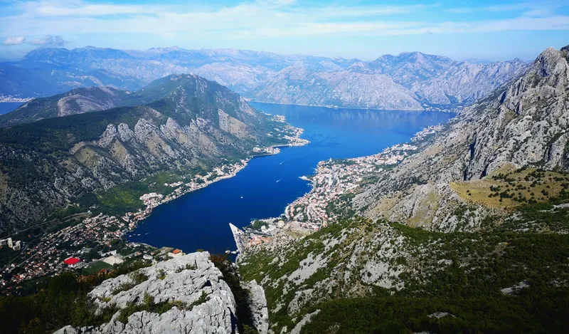
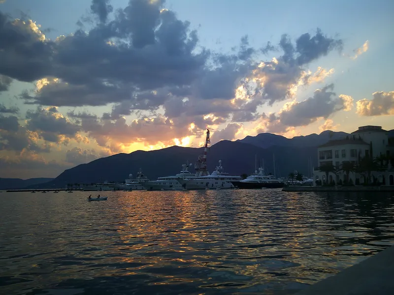
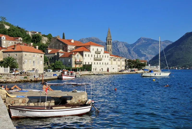
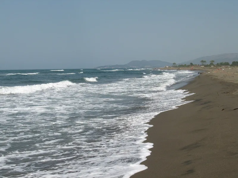
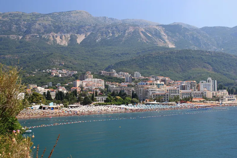
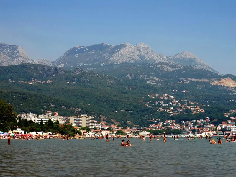
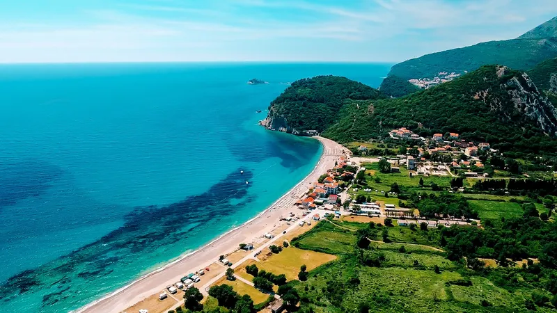
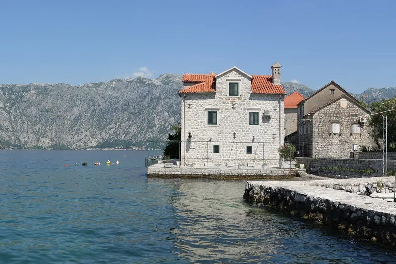
The coast is six municipalities between the Croatian and Albanian borders: Herceg Novi (30,824 residents at the 2023 census), Kotor (22,746), Tivat (16,338), Budva (27,445), Bar (45,812) and Ulcinj (20,507). The first three sit on the Bay of Kotor, whose inner part has been a UNESCO site since 1979; Budva has the densest run of beaches; Bar has the port and the railway; Ulcinj has the 13 km of sand at Velika plaža. Tivat airport is about 4 km from Tivat, 8 km from Kotor and 21 km from Budva, so most coast visitors land there.
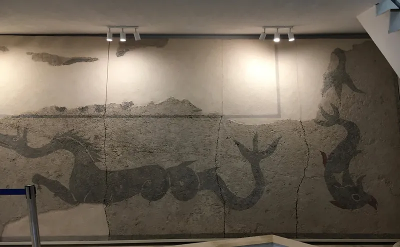
Budva · Archaeology · Ancient / Archaeology
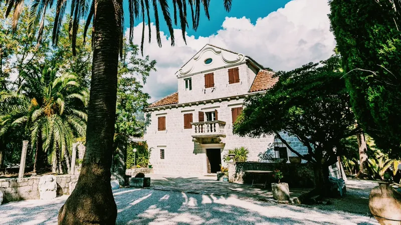
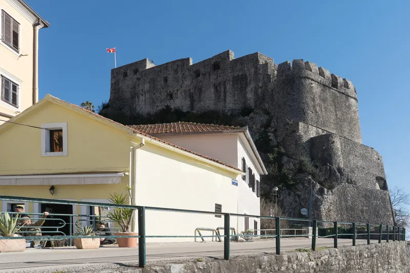
Herceg Novi · History Museum
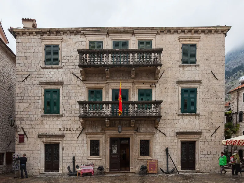
Kotor · Maritime Museum
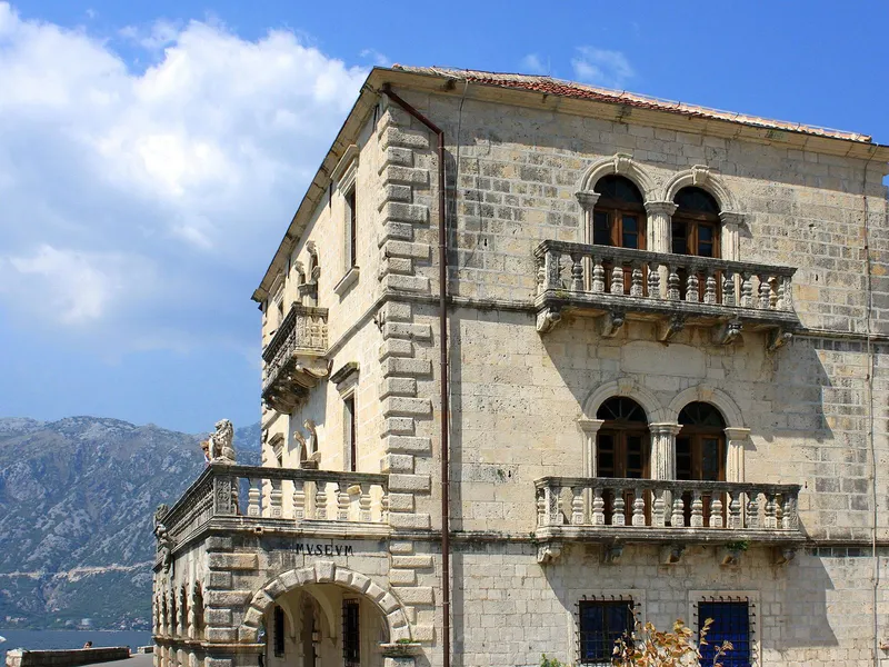
Kotor · Maritime Museum
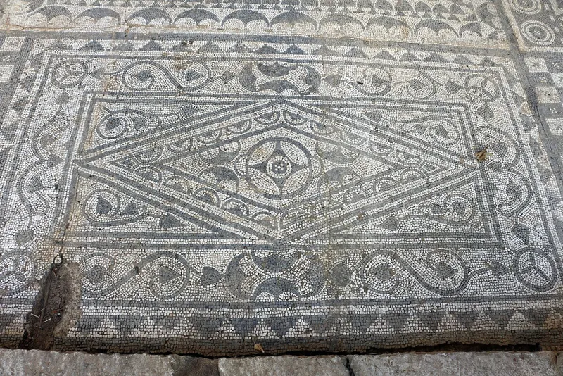
Kotor · Archaeology · Ancient / Archaeology
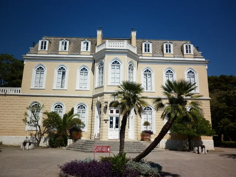
Bar · History Museum
Compare cars, pick-up points and deposit terms in one search.
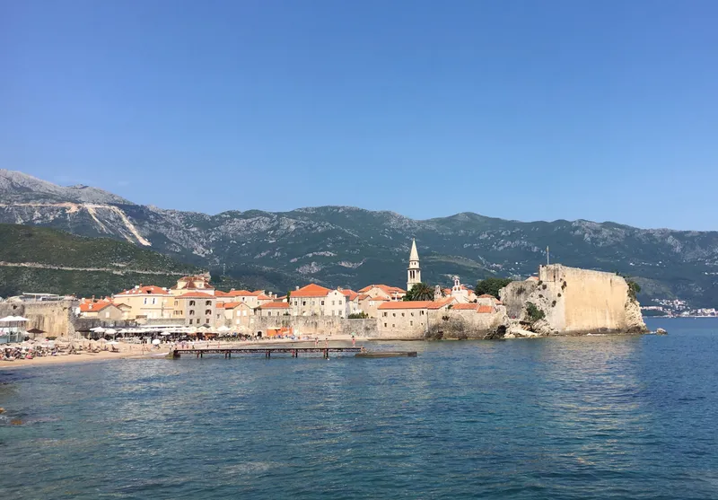
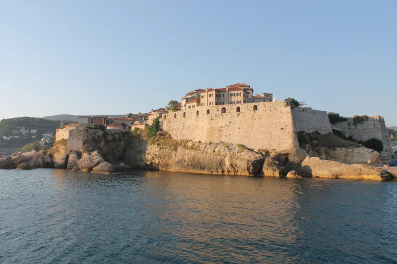
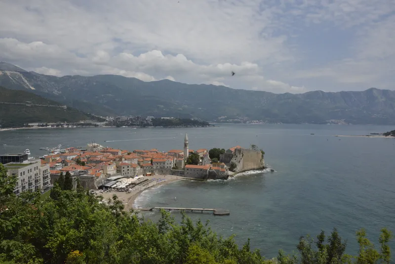
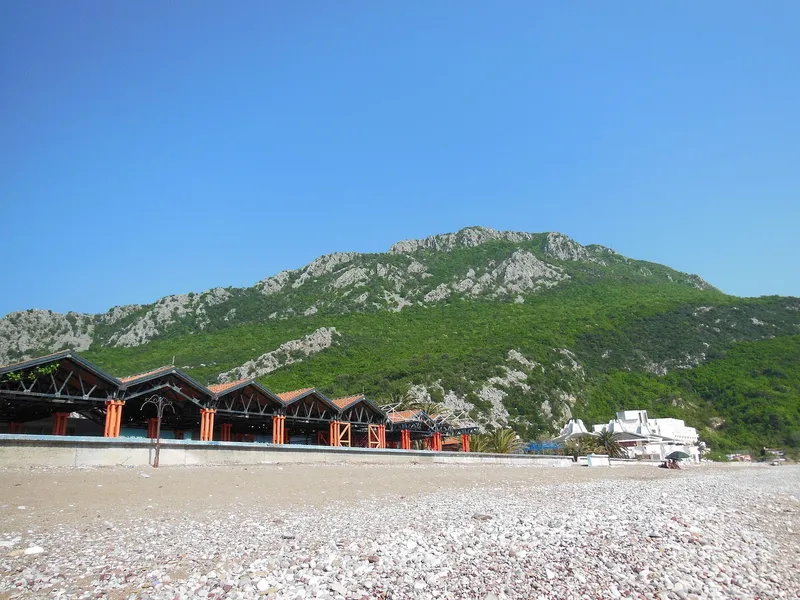
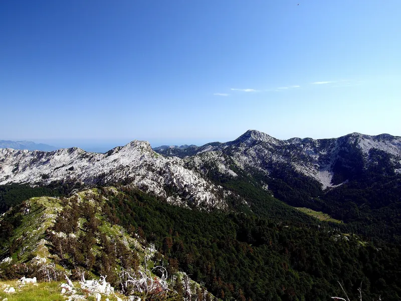
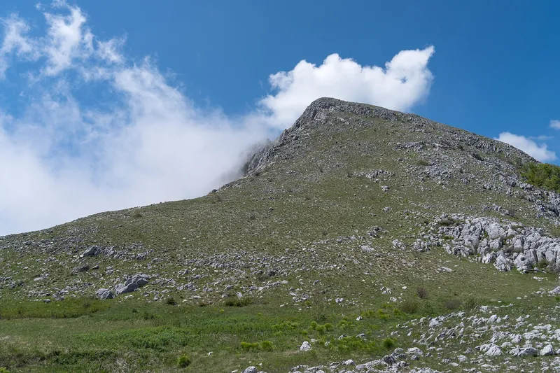
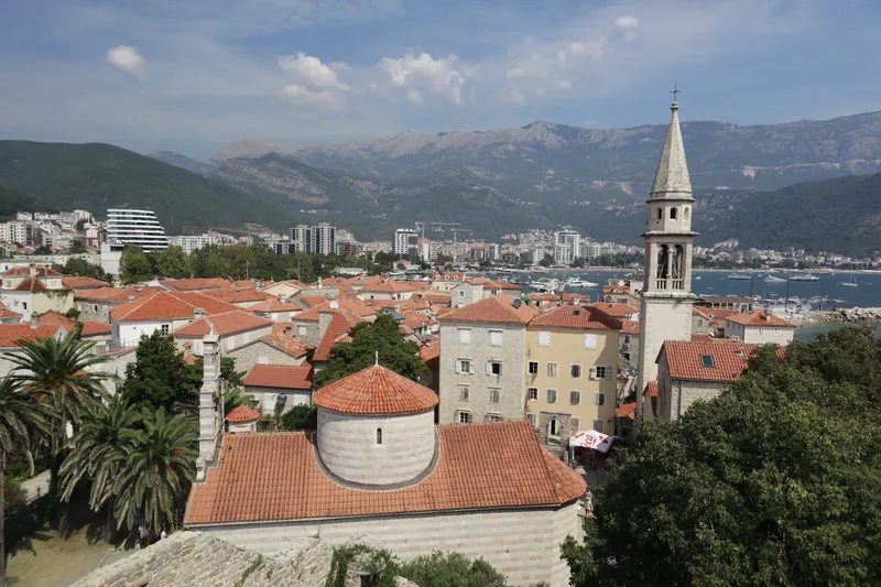
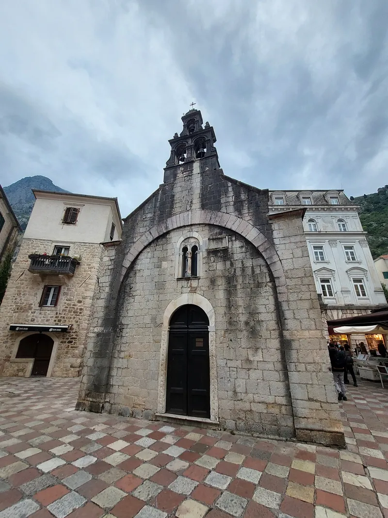
Beaches. Sand is in the south, at Velika plaža and around Budva; the Bay of Kotor has pebble coves and built platforms. The swimming season runs from mid-May to mid-October, and the 2026 Blue Flag list has 36 bathing areas, 18 of them in Budva and 11 on Velika plaža; the full comparison is on the beaches page. Old towns. Kotor with 4.5 km of walls and St Tryphon's Cathedral of 1166, Budva's Old Town over 2,500 years old, Stari Bar 4 km inland, Ulcinj with Illyrian walls and Herceg Novi, founded in 1382; see old towns. Mountains behind the sea. Orjen, 1,895 m (1,894 m in the nature park's figure), the highest point on the whole Adriatic coast; Lovćen with the Njegoš Mausoleum, reached from Kotor by cable car since 2023; Rumija, 1,594 m, between Bar and Lake Skadar, whose boats leave from Virpazar in Bar municipality. Herceg Novi has more than 250 sunny days a year, and Bar records 2,555 hours of sunshine.

The Adriatic Highway (E65) runs the length of the coast from Herceg Novi to Ulcinj. From Podgorica: Budva 65 km, Kotor 90 km, Herceg Novi 125 km, Bar 60 km through the 4,189 m Sozina tunnel, Ulcinj 95 km. The Bar-Belgrade railway stops at Bar and Sutomore; the other coastal towns have no railway, so buses link them (see transport). The Kamenari-Lepetane ferry shortens the drive round the bay. Jadrolinija (Bar-Bari) and Adria Ferries (Bar-Ancona) have sailed from Bar, but not every season, so check that a ferry runs before planning a crossing from Italy. Boat tours leave from Kotor and Perast; see boat tours.

Budva has the most beaches and the most Blue Flags (18 areas in the 2026 list); Ulcinj has the longest sand (Velika plaža, 13 km, and Ada Bojana, about 3 km).
Tivat, about 4 km from Tivat, 8 km from Kotor and 21 km from Budva. Podgorica airport is 41 km from Bar and about 95 km from Ulcinj.
Only Bar and Sutomore have railway stations, on the Bar-Belgrade line. Everywhere else is reached by bus or car along the Adriatic Highway.
Google Analytics counts visits without cookies. With your consent it also sets cookies that show us how the site is used. Nothing is used for advertising. Privacy

