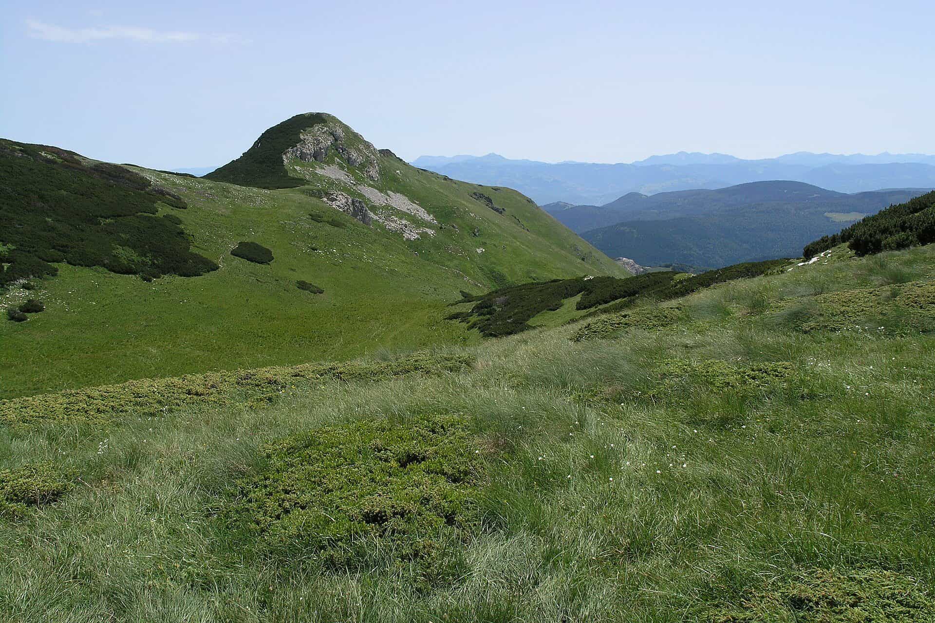
Mountains of Montenegro
22 places · Coastal Region 2 · Central Region 4 · Northern Region 9
Photo: Matěj Baťha · CC BY-SA 3.0

The highest mountain in Montenegro is Zla Kolata, 2,534 m, on the Bjelič massif of Prokletije, on the Albanian border above the Ropojana valley; its neighbours Dobra Kolata (2,528 m) and Rosni vrh stand within a few metres of it. The official survey's table of peaks leaves Zla Kolata out and tops out at 2,522 m, with Bobotov kuk on Durmitor and Maja Rozit in Prokletije, which is why Bobotov kuk is so often named the highest. Both answers, with the figures behind them, are in the table below.
All of Montenegro's mountains belong to the Dinaric Alps. They run from Orjen above Herceg Novi, whose Veliki kabao (1,895 m) is the highest point on the whole Adriatic coast, to Prokletije on the Albanian and Kosovo border, the southern end of the range. The massifs most visitors go to are Durmitor, Prokletije, Komovi, Bjelasica and Lovćen; each page has the peaks, the trails with lengths and times, the huts and the nearest town, and the hiking and skiing pages cover the routes and the lifts.


15 results
Nothing matches these filters.
All mountains
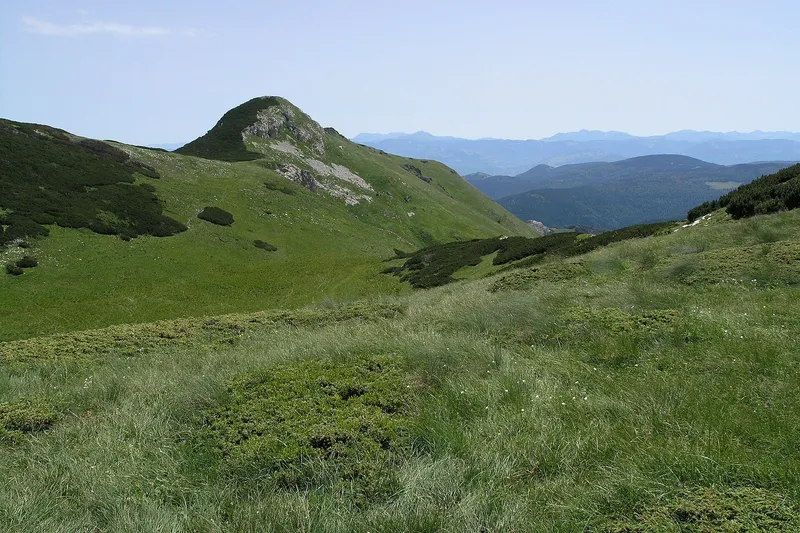
Bjelasica
2,137 m · Northern Region
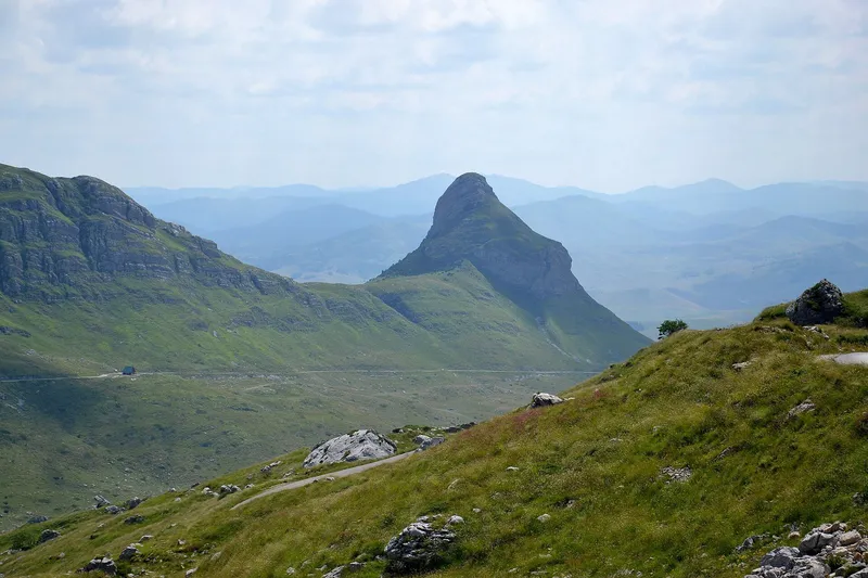
Durmitor
2,522 m · Northern Region
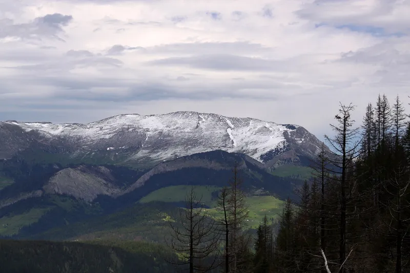
Hajla
2,403 m · Northern Region
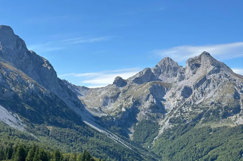
Komovi
2,487 m · Northern Region
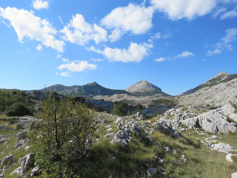
Lovćen
1,749 m · Central Region
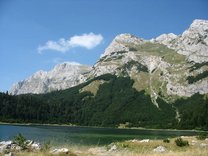
Maglić
2,386 m · Northern Region
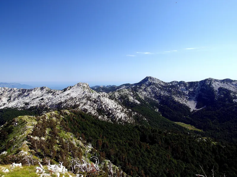
Orjen
1,895 m · Coastal Region
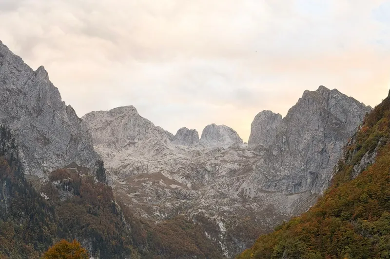
Prokletije
2,534 m · Northern Region
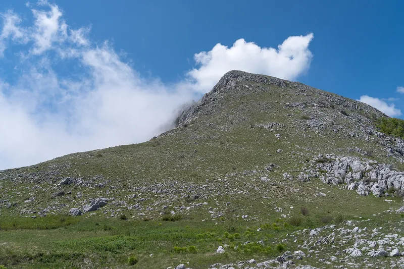
Rumija
1,594 m · Coastal Region
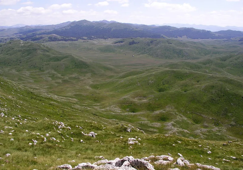
Sinjajevina
2,253 m · Northern Region
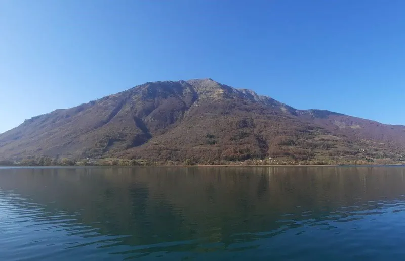
Visitor
2,210 m · Northern Region
Maganik
2,139 m · Central Region
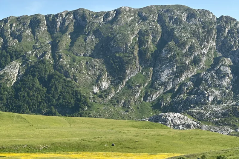
Moračke planine
2,227 m · Central Region
Prošćenske planine
1,856 m · Northern Region
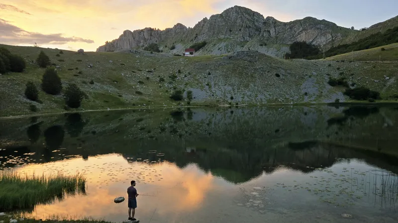
Žijovo
2,182 m · Central Region
Also listed
Smaller places and parts of larger ones, each with a short entry
Highest peaks
Heights follow the official survey of peaks; Zla Kolata, which the survey leaves out, is given at 2,534 m, the figure in common use.
| Peak | Massif | Height |
|---|---|---|
| Zla Kolata | Prokletije | 2,534 m |
| Dobra Kolata | Prokletije | 2,528 m |
| Rosni vrh (Maja Rozit) | Prokletije | 2,522 m |
| Bobotov kuk | Durmitor | 2,522 m |
| Kučki Kom | Komovi | 2,487 m |
| Šljeme | Durmitor | 2,445 m |
| Hajla | Hajla | 2,403 m |
| Bioč | Piva mountains | 2,396 m |
| Maglić | Maglić | 2,386 m |
| Torna (Babin zub) | Sinjajevina | 2,253 m |
| Visitor | Visitor | 2,210 m |
| Crna glava | Bjelasica | 2,137 m |
The main massifs
Durmitor. Limestone massif above Žabljak: Bobotov kuk 2,522 m, 48 peaks over 2,000 m, 18 glacial lakes and the Tara canyon on its edge, all inside the national park. 25 marked trails of about 150 km; the climb to Bobotov kuk from the Sedlo pass is 12.72 km with 722 m of ascent, about three hours up.
Prokletije. The southern end of the Dinaric Alps, on the Albanian and Kosovo borders above Plav and Gusinje: Zla Kolata 2,534 m, the Grebaje valley and the Ropojana valley. Every trail in the national park is graded demanding, snow can lie into summer, and a park guide costs €40 for four hours.
Komovi. Three rock summits above the Štavna plateau at about 1,900 m: Kučki Kom 2,487 m, Ljevorečki Kom and Vasojevićki Kom, a nature park shared by Andrijevica, Kolašin and Podgorica. Routes start at the Štavna katun (1,764 m): Kučki Kom is 7 km and about three hours, with an exposed ridge before the summit, and the loop of the Koms rounds all three.
Bjelasica. Grassy massif between the Tara and the Lim: Crna glava 2,137 m, Biogradska gora National Park, four glacial lakes and the Kolašin 1600 and Kolašin 1450 ski centres. From the Vranjak katun, Zekova glava is a walk of 1 h 20. The town is Kolašin.
Sinjajevina. A high pasture plateau about 40 km long between Kolašin and Šavnik, with summer katuns; the highest point is Torna, also called Babin zub.
Lovćen. Karst mountain between Kotor and Cetinje: Štirovnik 1,749 m and Jezerski vrh 1,657 m with the Njegoš Mausoleum, a national park since 1952. Its trails follow old Austro-Hungarian roads, and the Kotor-Lovćen cable car climbs from the bay side.
Orjen. Karst mountain behind Herceg Novi: Veliki kabao 1,895 m (1,894 m by the nature park), the highest point on the Adriatic coast, a nature park since 2018 with trails from Vrbanj.
Maglić and the Piva mountains. Maglić, 2,386 m, is a border summit above Plužine in the Piva nature park, beside Bioč (2,396 m) and Volujak, with the heart-shaped Trnovačko jezero below.
Hajla. A 2,403 m summit about 15 km from Rožaje, with the Štedim plateau, the Grope hut at 1,900 m and the Bandžov base for easy routes.
Visitor. A 2,210 m mountain above Plav with the glacial Visitorsko jezero, hiked from June to October alongside Prokletije.
Rumija. Coastal ridge of 1,594 m in the municipality of Bar, between the Skadar Lake basin and the sea, with Old Bar at its foot.
Central Montenegro. Moračke planine between the Morača and the Mrtvica canyon, with Kapetanovo jezero at 1,678 m; also Prekornica, Garač, Vojnik, Žijovo and Kučka korita.
Which mountain for what
- A big summit day: Bobotov kuk on Durmitor, 12.72 km and 722 m of ascent from Sedlo, about three hours up.
- Alpine and remote: Prokletije, where every park trail is graded demanding and snow lies into summer; inexperienced walkers take a licensed guide.
- An exposed ridge: Kučki Kom on the Komovi, 7 km and about three hours from Štavna.
- Easy walks: the Lovćen trails on old Austro-Hungarian roads, and Bjelasica from the Vranjak katun, Zekova glava in 1 h 20.
- Skiing: Bjelasica with Kolašin 1600 and Kolašin 1450, and Durmitor with Savin kuk; see Skiing.
- Sea views: Orjen, Rumija and Lovćen, the coastal ranges, walkable from mid-April to October.
Season, trails and rules
Montenegro has about 3,000 km of mountain trails, about 1,480 km of them marked and about 800 km inside the national parks. Trails are marked and graded easy, medium or hard by the Mountaineering Association, and under the law on mountain trails you walk at your own risk; a licensed guide and an organised group are recommended, solo tours are not, and 112 reaches mountain rescue. The coastal mountains walk from mid-April to October, the high massifs from June to October with Durmitor at its best from July to September, Bjelasica and Sinjajevina from May to October. Routes with lengths, times and grades are on the hiking page.
Getting to the mountains
Driving distances and free-flow times, without traffic, snow or queues.
| Base town | For | From | Distance | Time |
|---|---|---|---|---|
| Žabljak | Durmitor | Podgorica | 123.4 km | 2 h 39 min |
| Kolašin | Bjelasica, Komovi, Sinjajevina | Podgorica | 58.0 km | 59 min |
| Plav | Prokletije, Visitor | Podgorica | 131.1 km | 2 h 28 min |
| Rožaje | Hajla | Podgorica | 124.2 km | 2 h 23 min |
| Cetinje | Lovćen | Kotor | 53.9 km | 1 h 10 min |
| Herceg Novi | Orjen | Tivat airport | 27.5 km | 42 min |
Kolašin also has a station on the Bar-Belgrade railway; the coach lines to the other towns are on Buses.
Common questions
What is the highest mountain in Montenegro?
Zla Kolata, 2,534 m, on the Bjelič massif of Prokletije. The official survey's table of peaks leaves it out and lists Bobotov kuk on Durmitor and Maja Rozit, both 2,522 m, as its highest entries, which is why Bobotov kuk is often given as the answer.
Can you hike without a guide?
Yes, at your own risk: trails are marked and graded easy, medium or hard, and the law on mountain trails puts the risk on the user. A licensed guide and an organised group are recommended, solo tours are not, and 112 reaches mountain rescue. A park guide costs €40 for four hours.
When is the season?
June to the end of October for the high massifs, with Durmitor best from July to September; May to October on Bjelasica and Sinjajevina; mid-April to October on the coastal mountains. Snow can lie in Prokletije even in summer.
Which mountains are national parks?
Durmitor, Lovćen, the Biogradska gora part of Bjelasica and the Montenegrin Prokletije. Orjen, Komovi and the Piva mountains (Maglić, Bioč) are nature parks run by the municipalities.
Related
Sources
- MONSTAT, Statistical Yearbook 2025, table 1-8 Peaks over 1,800 m
- National Parks of Montenegro, Prokletije active holidays
- National Parks of Montenegro, Prokletije
- NTO, Prokletije National Park
- NTO, Hiking and trekking
- NTO, Lovćen National Park
- National Parks of Montenegro, Lovćen
- TO Žabljak, Peaks of Durmitor
- TO Žabljak, Bobotov kuk trail
- TO Kolašin, Komovi trails
- TO Kolašin, Mount Komovi
- TO Kolašin, Mount Bjelasica
- TO Kolašin, Mount Sinjajevina
- TO Kolašin, Torna (Babin zub) trail
- TO Rožaje, What to visit
- TO Gusinje, Tourist offer
- TO Bar, About Bar; Natural attractions
- TO Herceg Novi, Nature Park Orjen
- Parks Dinarides, Nature Park Orjen
- Parks Dinarides, Nature Park Piva
- Law on mountain trails (FAOLEX copy)
- National Parks of Montenegro, Durmitor price list
- ŽICG: Vrbnica-Bar railway project page
- OSRM routing (car, OpenStreetMap data, ODbL; times without traffic)
- MONSTAT, Statistical Yearbook 2025, table 1-8 Mountain peaks over 1800 m