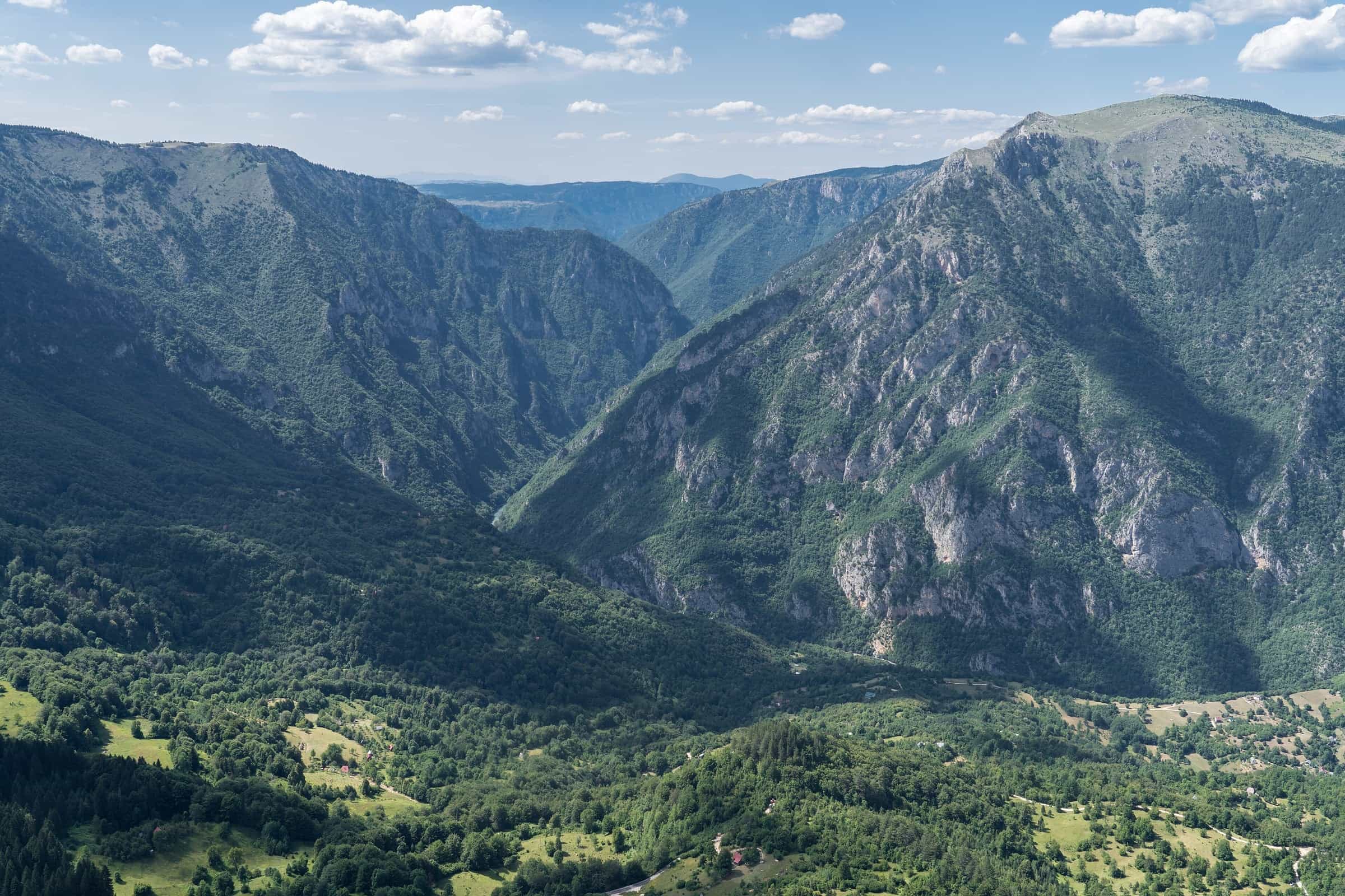
Rivers of Montenegro
21 places
Photo: Alexkom000 · CC BY 4.0

The Tara is the river to start with: 146.4 km long, 142.2 km of them in Montenegro, with a canyon 78 km long and 1,333 m deep inside Durmitor National Park, the deepest in Europe and the only river in the country with commercial rafting. The rest of the map sorts into two basins. The Morača, Zeta, Cijevna, Mrtvica and Rijeka Crnojevića run to Lake Skadar and on to the Adriatic through the Bojana; the Tara, Piva, Komarnica, Lim, Ćehotina and Ibar flow north to the Drina and the Danube, so their water ends in the Black Sea.
Which river to choose depends on the day you want: rafting and the great canyon on the Tara, a walk through the Mrtvica, canyoning in Nevidio on the Komarnica, fly fishing on the Lim or the Ćehotina, a boat on the Rijeka Crnojevića, a river beach on the Bojana. Below are the lengths side by side, the canyons, and where to raft, paddle and fish; each river's own page has its course, access and the closed seasons that apply to it.


21 results
Nothing matches these filters.
All rivers
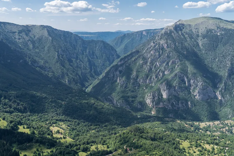
Tara
142.2 km · Northern Montenegro · canyon depth 1,333 m
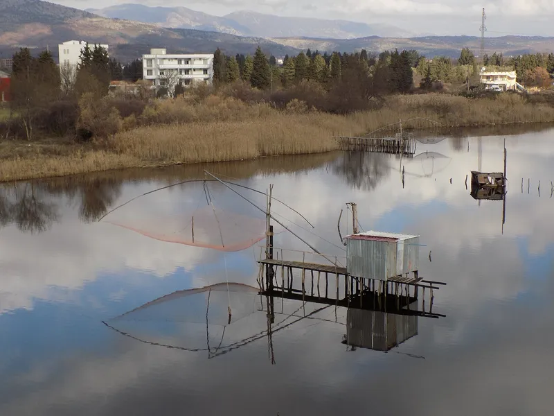
Bojana (Buna)
24.3 km · Coast, Ulcinj
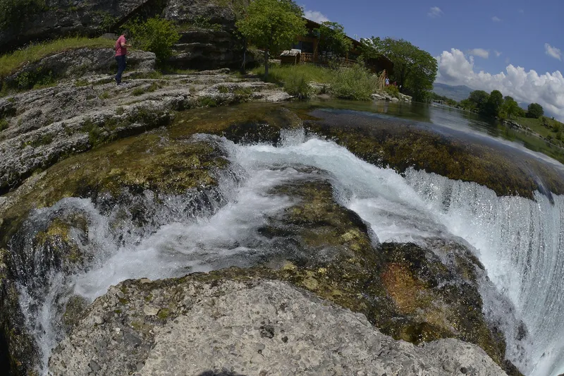
Cijevna (Cem)
31.97 km · Central Montenegro, Tuzi · canyon depth 903 m
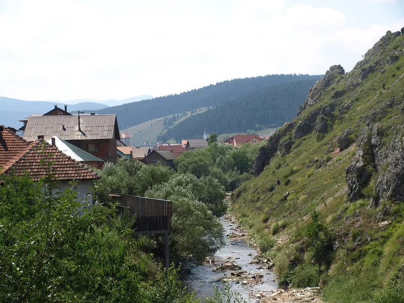
Ibar
33.5 km · North-east Montenegro
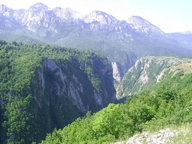
Komarnica
39.5 km · Northern Montenegro
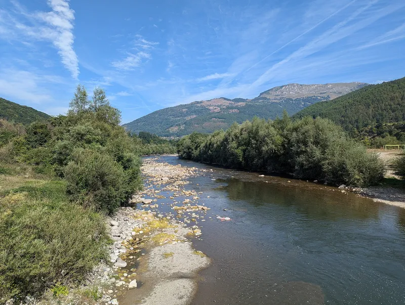
Lim
94 km · North-east Montenegro
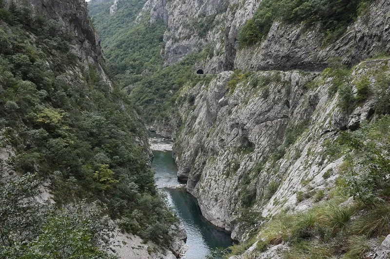
Morača
100.67 km · Central Montenegro · canyon depth 1,000 m
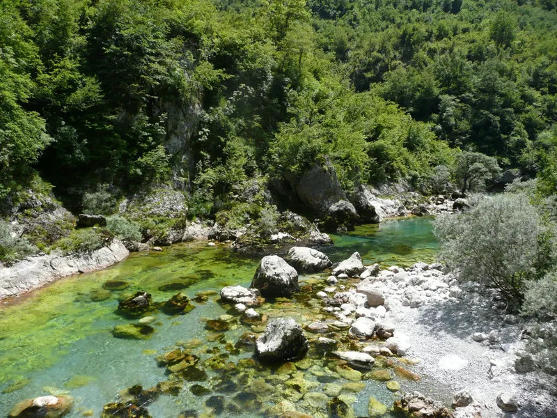
Mrtvica
Central Montenegro · canyon depth 1,250 m
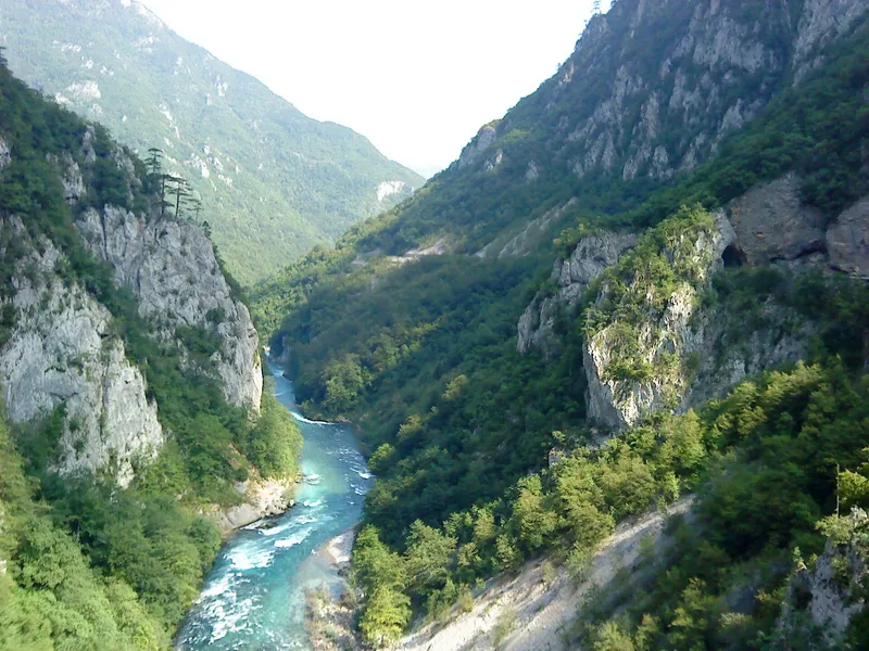
Piva
9.77 km · North-west Montenegro
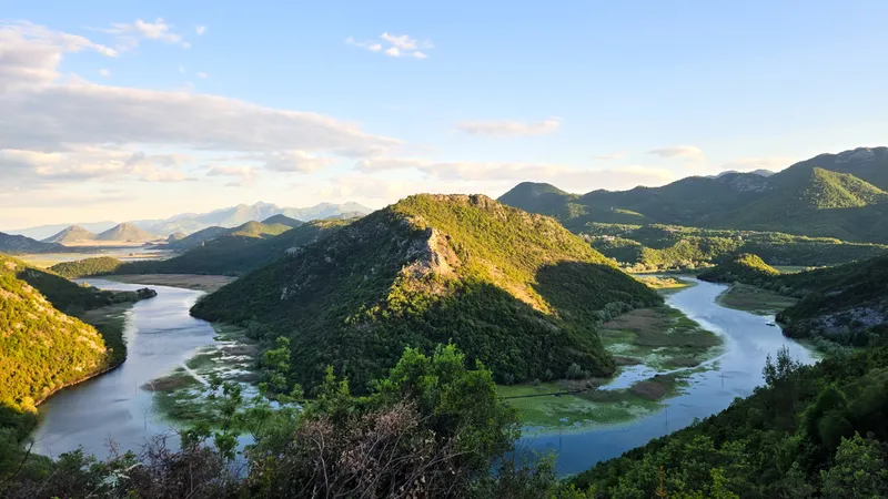
Rijeka Crnojevića
12.3 km · Central Montenegro, Lake Skadar basin
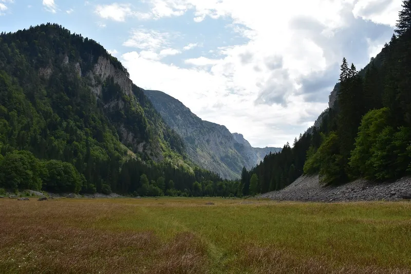
Sušica (Durmitor)
Northern Montenegro, Durmitor · canyon depth 700 m
Bistrica (Berane)
17.29 km · North-east Montenegro
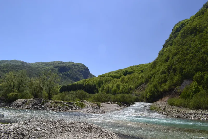
Bukovica and Tušina (Šavnik rivers)
30.93 km · Northern Montenegro, Šavnik
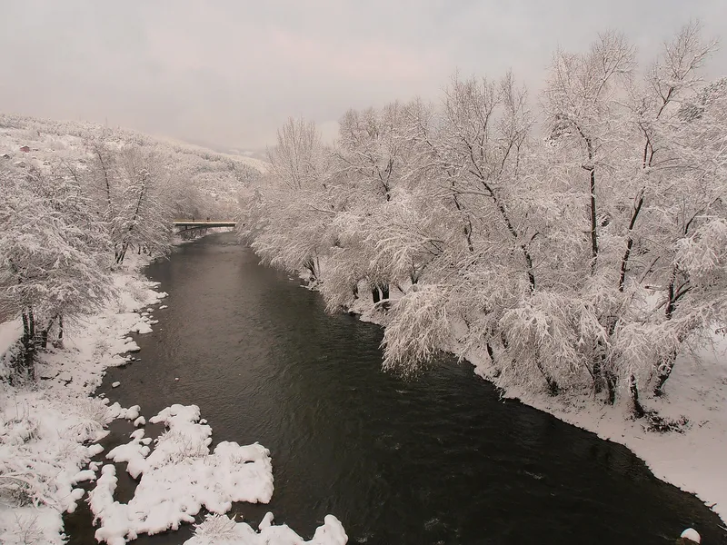
Ćehotina
105.7 km · Northern Montenegro
Draga (Pljevlja)
11.2 km · Northern Montenegro, Pljevlja · canyon depth 800 m
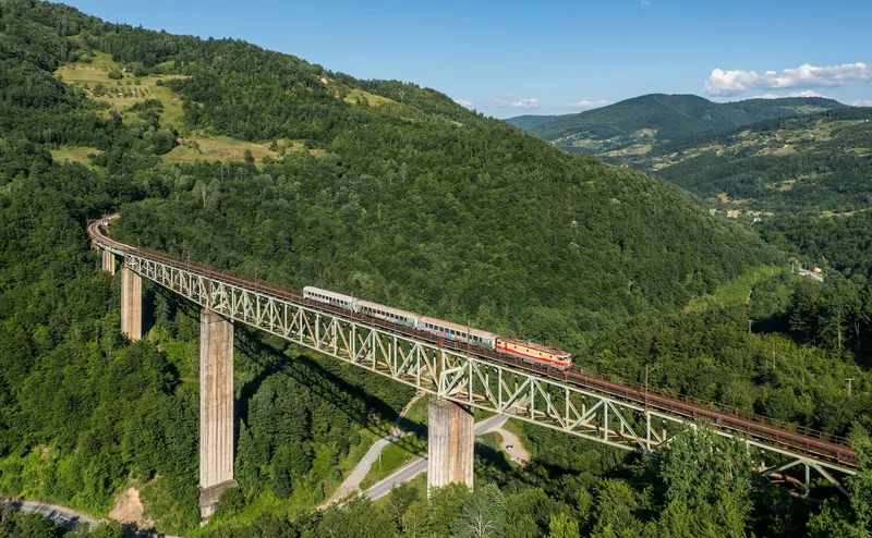
Ljuboviđa
32.41 km · North-east Montenegro
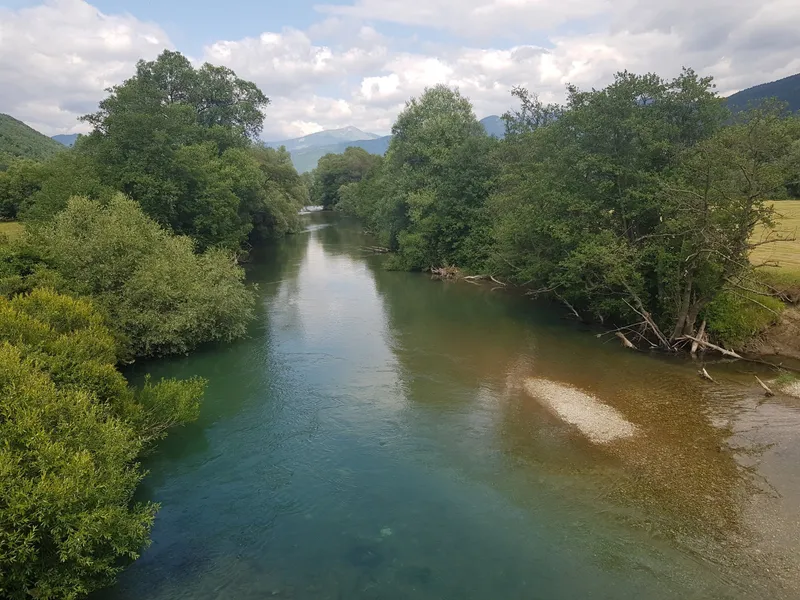
Ljuča, Grnčar and Vruja
12.76 km · North-east Montenegro
Ribnica
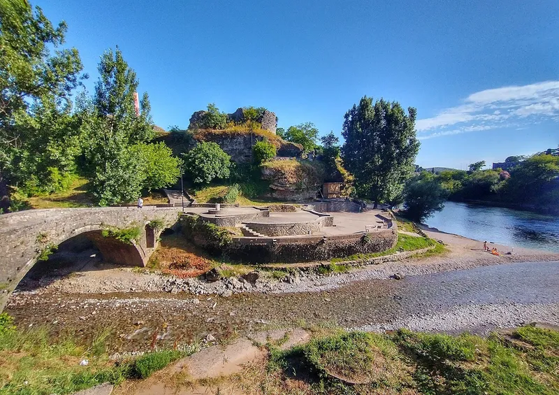
Central Montenegro, Podgorica
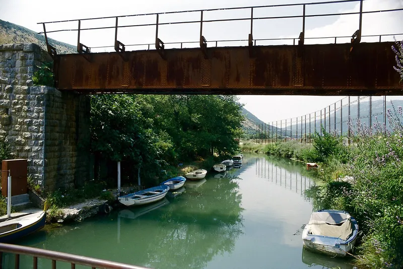
Sutorina
9.03 km · Coast, Herceg Novi
Zeta
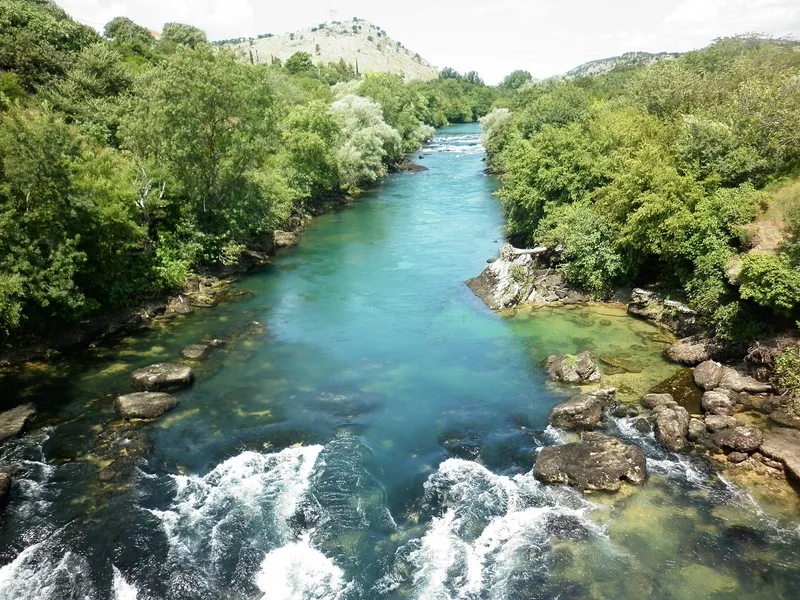
73.31 km · Central Montenegro
Zlorečica
North-east Montenegro
Also listed
Smaller places and parts of larger ones, each with a short entry
- Bijela (Šavnik)
Šavnik · 9 km · joins the Bukovica in Šavnik
- Bistrica (Bijelo Polje)
Bijelo Polje · 20.04 km · right tributary of the Lim
- Bukovica and Tušina
Šavnik · 30.93 km · headwaters of the Piva system
- Crmnica (Crmnička rijeka)
Bar · 7.91 km · flows into Lake Skadar
- Drcka
Kolašin · 18.87 km · main tributary of the Tara
- Grnčar
Gusinje · 9 km in Montenegro · with the Vruja forms the Ljuča
- Ljuboviđa
Bijelo Polje · 32.41 km · left tributary of the Lim
- Mala Rijeka
Podgorica · 18.38 km · Morača tributary under the Mala Rijeka railway viaduct
- Nudolska (Zaslapnica)
Nikšić · 6.79 km in Montenegro · flows to the Bosnia and Herzegovina border
- Opasanica and Veruša
Podgorica · 27.04 km · the Tara begins where they meet
- Orahovštica
Bar · 10.32 km · flows into Lake Skadar
- Pčinja
Left tributary of the Tara
- Plavnica
Flows into Lake Skadar; reference gauge for the lake level
- Sitnica
Podgorica · 9.29 km · Morača basin
- Škurda
Kotor · flows into the sea at Kotor
- Vezišnica
Pljevlja · 11.33 km · main tributary of the Ćehotina
- Vruja
Gusinje · with the Grnčar forms the Ljuča, headwaters of the Lim
Longest rivers
Lengths inside Montenegro follow the Water Administration's register of 2024; where the statistical yearbook gives another figure, it is in brackets.
| River | In Montenegro | Total length | Basin | Flows into |
|---|---|---|---|---|
| Tara | 142.2 km (141) | 146.4 km | 2,040 km² | Drina |
| Ćehotina | 105.7 km (100) | 125 km | 1,501 km² (1,109 in Montenegro) | Drina |
| Morača | 100.7 km (99.5) | 100.7 km | 3,257 km² | Lake Skadar |
| Lim | 94 km (123) | 220 km | 5,784 km² (2,557 in Montenegro) | Drina |
| Zeta | 73.3 km (65) | 73.3 km | 1,597 km² | Morača |
| Komarnica | 39.5 km | 39.5 km | 774 km² | Piva (Piva Lake) |
| Ibar | 33.5 km | 276 km | 8,059 km² (whole river) | West Morava |
| Cijevna | 32 km (32.3) | 58.8 km | - | Morača |
| Bojana | 24.3 km, the border reach (30) | 40 km | - | Adriatic |
| Piva | 9.8 km below the dam (78 with the Komarnica and the reservoir) | - | 1,567 km² | Drina |
The Lim is the longest river that touches Montenegro, but it leaves the country at Bijelo Polje after passing Plav and Berane; the Tara, with 142.2 km inside the border, is the longest Montenegrin river. The Tara and the Piva meet at Šćepan Polje, where the Drina begins. The Piva's own free channel is short because most of its valley lies under Piva Lake, 187.5 m deep behind the 220 m Mratinje dam. The Zeta sinks at the southern edge of the Nikšić field and re-emerges about 3 km later at Glava Zete, so the register counts the lower river only. The Ibar is the longest river on the list and the shortest in the country: 33.5 km from its springs below Hajla near Rožaje to the border. Smaller rivers with their own pages: the Ljuča and Zlorečica near Plav, the Bistrica at Berane, the Ljuboviđa, the Šavnik rivers, the Draga and Sušica on Durmitor, the Ribnica in Podgorica and the Sutorina at Herceg Novi.
Canyons
The Tara canyon runs 78 km from the mouth of the Bistrica to Šćepan Polje and is 1,333 m deep between Obzor and Štuoc; the round figures of 80 km and 1,300 m are also in use. The deepest part lies inside Durmitor National Park, with Žabljak as the base and the Ćurevac viewpoint at 1,625 m looking straight into it. The Mrtvica canyon above the Morača is about 10 km long and about 1,250 m deep, the second deepest in the country, and the one to walk: a footpath follows the river past the Zeleni vir pool, the Gate of Wishes and a stone bridge of 1858, reached from Kolašin. The Morača canyon is about 30 km long and up to 1,000 m deep around Tisov vrh; the main road from Podgorica to the north runs through it, past Morača Monastery of 1252. The Piva canyon is 33 km long and up to 1,200 m deep, with a road along it and the Mratinje dam at its head. The Sušica canyon on the Durmitor side of the Tara is 15 km long and up to 700 m deep and once carried a timber railway. The Cijevna canyon in Tuzi municipality is a protected Nature Monument with a road through it.
The narrowest canyon is Nevidio on the Komarnica below Durmitor: about 2 km of slot (3.5 km in some counts), less than a metre wide in places and about 150 m deep, first passed in 1965. It is Montenegro's main canyoning route, a traverse of 3 to 4 hours, offered from 15 June to 30 September; see canyoning.
Rafting, kayaking and swimming
Commercial rafting runs on one river, the Tara. One-day trips start at Splavište near Žabljak (14 km in 3 to 4 hours, or 24 km in 5 to 6 hours) or at Brštanovica on the Plužine side (18 km to Šćepan Polje); the full 60 km from Splavište to Šćepan Polje takes two or three days. The season is April to October, with the strongest water in April and May after the snowmelt and the calmest from 1 July to 15 September; the water stays at 15 °C or below even in summer. Sections, rules and operators are on the rafting page and the Rafting on the Tara page. Kayakers run the same water, graded I-III between Splavište and Brštanovica; the flat alternatives are the Rijeka Crnojevića and Lake Skadar, on the kayaking page.
Swimming in the mountain rivers is a short dip at a rafting stop rather than a day at the water. For a warm river day go south: the Bojana ends at Ada Bojana near Ulcinj, and the national park's equipped beaches on Lake Skadar are Pješačac, Pelinovo and Murići.
Fishing
Daily permits for river zones come from the sport-fishing club that manages each stretch; fly zones allow a single barbless hook and most are catch-and-release. Inside Durmitor National Park the Tara is open from 1 May to 1 October with a €20 daily permit from the duty ranger, the same price as for the Black Lake. On Lake Skadar and the Rijeka Crnojevića the park sells permits for a day (€5), seven days (€20) or a year (€100). The Lim has four fly-fishing zones between Plav and Bijelo Polje, the Ćehotina a catch-and-release zone at Pljevlja, and the Morača a city zone in Podgorica that is open all year.
The national order of 2026 (Sl. list CG 75/2026, in force since 11 June 2026) sets the closed seasons: in the northern municipalities all trout from 1 November to 15 March and grayling from 1 March to 1 June; in Podgorica and Danilovgrad waters trout from 1 November to 1 April. Huchen, pike, marble trout and the Zeta soft-mouthed trout must be released in all waters until 1 April 2029, and several tributaries are closed entirely; the dates for each water are on its river page. Zones and guides across the country: fly fishing.
Which river for what
- The big canyon and rafting: the Tara, from Žabljak or Brštanovica.
- A canyon on foot: the Mrtvica from Kolašin; the Sušica for the Durmitor side.
- Canyoning: Nevidio on the Komarnica.
- A canyon from the car: the Morača on the Podgorica-Kolašin road and the Piva on the road to Šćepan Polje.
- A boat and a bridge: the Rijeka Crnojevića, 12.3 km from a cave below Obod to Lake Skadar, with Danilo's bridge of 1853 and the site of the Obod printing house, whose first book came out in 1494; reached from Cetinje or Virpazar.
- Fly fishing: the Lim, the Ćehotina and the Podgorica stretch of the Morača.
- Sea and river in one day: the Bojana and Ada Bojana.
Common questions
Which is the longest river in Montenegro?
The Tara, with 142.2 of its 146.4 km inside the country (the statistical yearbook counts 141 km). The Lim is longer in total (220 km) but only 94 km of it is in Montenegro (123 km in the yearbook's count).
Can you swim in the Tara?
Only for a short dip: the water stays at 15 °C or below even in summer, and the river has no organised bathing spots. For warmer water the national park's equipped beaches on Lake Skadar are Pješačac, Pelinovo and Murići, and the Bojana ends at the sea at Ada Bojana.
Where does the Morača end?
In Lake Skadar, after 100.7 km, at an elevation of 4.5 m. From the lake the water continues to the Adriatic through the Bojana.
Which rivers belong to the Danube basin?
The Tara, Piva, Komarnica, Lim, Ćehotina and Ibar. The Tara and Piva form the Drina at Šćepan Polje; the Lim and the Ćehotina join the Drina in Bosnia and Herzegovina, and the Ibar reaches the West Morava in Serbia.
Where can you go canyoning in Montenegro?
In the Nevidio canyon of the Komarnica below Durmitor: about 2 km of slot, narrower than a metre in places, first passed in 1965, a traverse of 3 to 4 hours, offered from 15 June to 30 September.
Related
Sources
- MONSTAT, Statistical Yearbook 2025, table 1-9 Major rivers
- Uprava za vode, Registar voda od značaja za Crnu Goru (2024)
- NTO, Rafting
- NTO, Fly fishing
- NTO, Canyoning
- NTO, Tara Canyon
- UNESCO MAB, Tara River Basin
- TO Kolašin, Canyons
- TO Kolašin, Kanjon Mrtvica (footpath)
- TO Kolašin, Churches and monasteries
- Nature Park Piva, Kanjon Pive
- Nature Park Piva, Rafting
- Parks Dinarides, Nature Park Dragišnica and Komarnica
- TO Žabljak, Rivers and canyons
- National Parks of Montenegro, Durmitor active holidays
- National Parks of Montenegro, fee decision (consolidated)
- National Parks of Montenegro, Skadar Lake price list
- Parks Dinarides, Cijevna canyon Nature Monument
- Rijeka Crnojevića, Danilo's bridge
- Rijeka Crnojevića, Obod printing house
- Iković, B., Dolina rijeke Zete, Istorijski zapisi 2014
- Serbian Journal of Geosciences 2021, the Ibar basin
- Ministarstvo poljoprivrede, šumarstva i vodoprivrede, Naredba o ribolovnim zabranima, lovostaju i minimalnim veličinama riba (Sl. list CG 75/2026), Art. 3