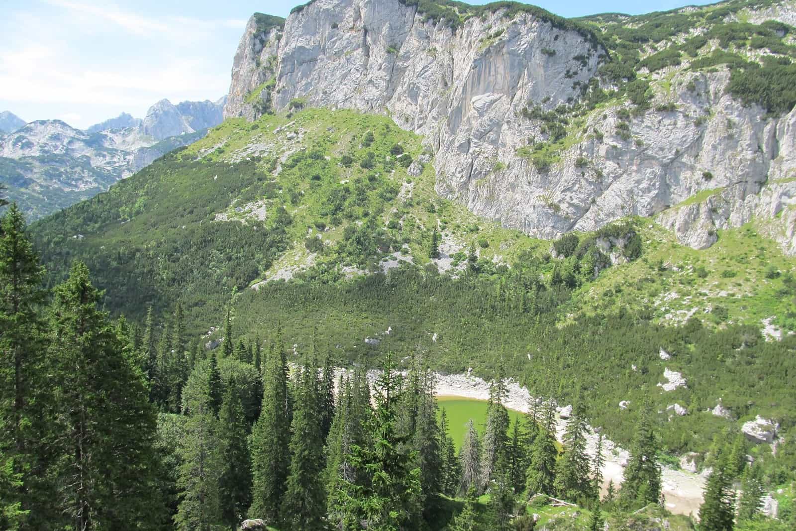
Viewpoints in Montenegro
25 places
Photo: Emil Joanović · CC BY-SA 3.0

Montenegro's best views are over water from height: the Bay of Kotor from Lovćen and the serpentine road above Kotor, the Tara canyon from Ćurevac, the Piva canyon from the road above the dam, and Lake Skadar from Pavlova strana and the hills above Virpazar. Most are reached by car with a short walk; the ones that need a hike are marked. Below, by region, is where each viewpoint is, its height, how far you walk or drive, what you see and what the park charges, with a link to each one's own page.


All scenic viewpoints
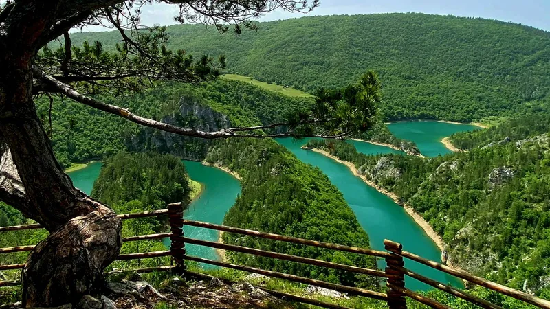
Ćehotina meanders viewpoint
Čelobrdo viewpoint
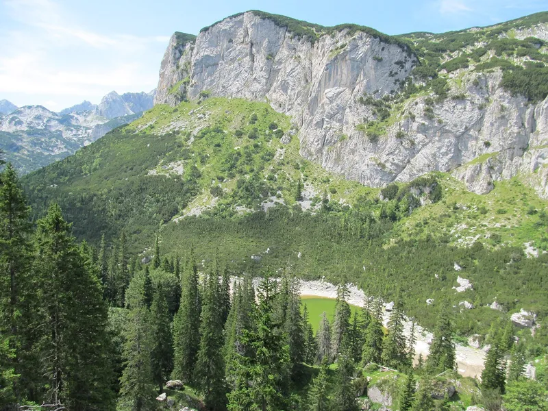
Crvena greda
2,175 m
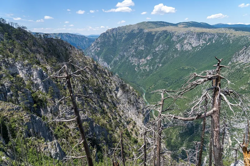
Ćurevac
1,625 m
Grlo sokolovo
Jezerski vrh, Lovćen
1,657 m
Nedajno viewpoint
1,480 m
Pavlova strana
Piva canyon viewpoint, Babići
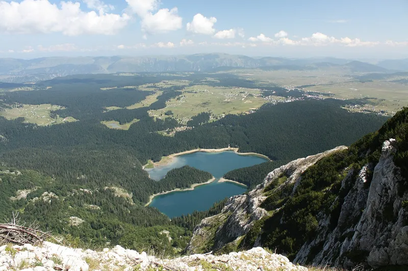
Savin kuk
2,325 m
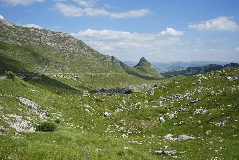
Sedlo pass
1,907 m
Bendovac viewpoint
1,774 m
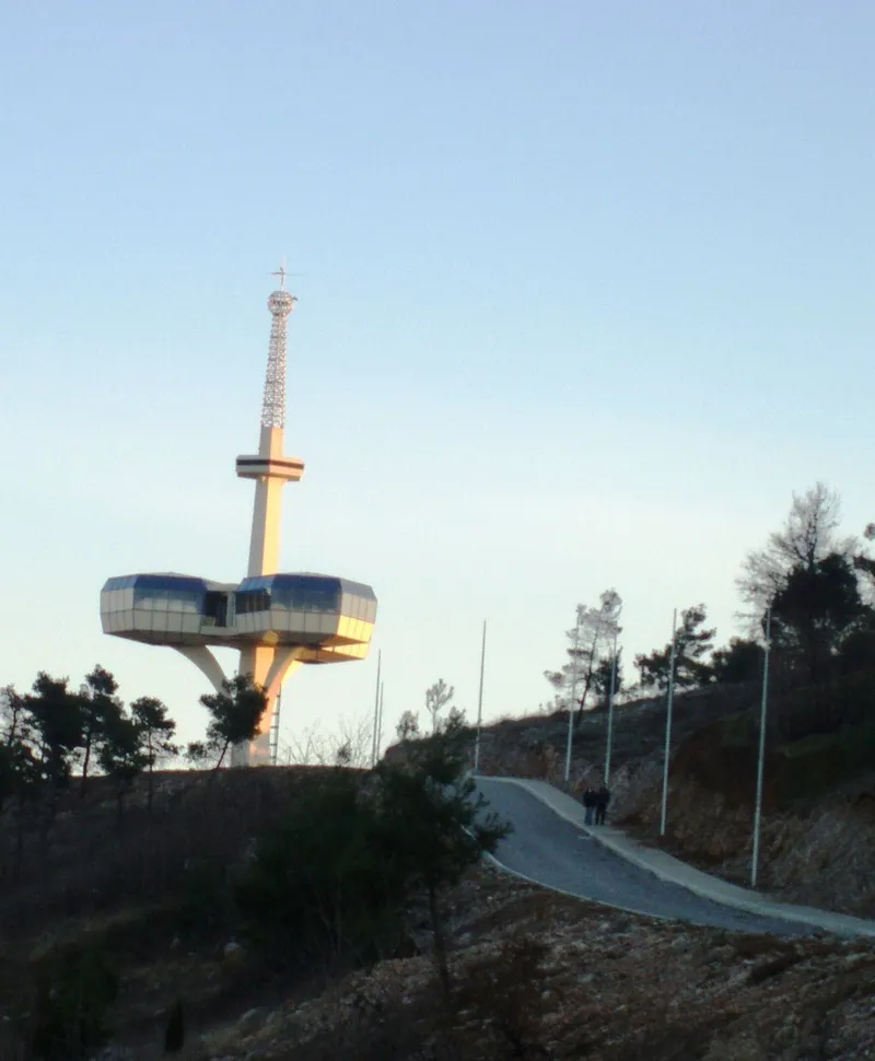
Dajbabska gora
172 m
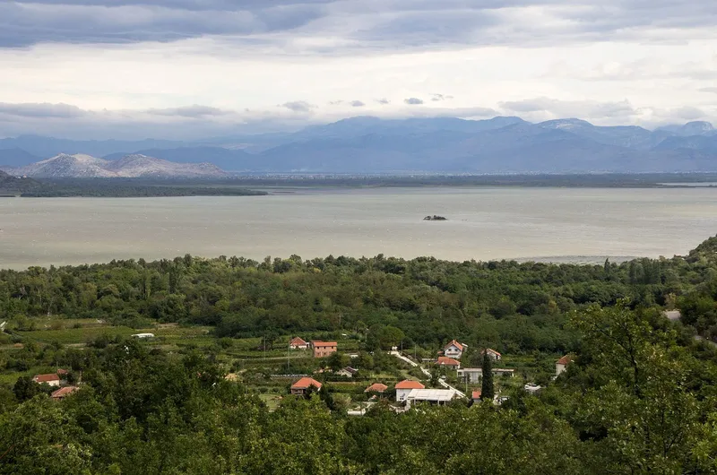
Godinje viewpoint
Gorica hill
Maričina greda viewpoint
1,106 m
Muratovica viewpoint
Orjensko sedlo
1,600 m
Soko peak viewpoint
1,439 m
Štegvaš viewpoint
Trešnjevik pass
1,573 m
Zagrađe monastery viewpoint, Šćepan Polje
Zelenika hill
293 m
Also listed
Smaller places and parts of larger ones, each with a short entry
Coastal Region
Bogišići viewpointTivat
Viewpoint on the Luštica panoramic route by the Catholic and Orthodox churches of St John in Bogišići, whose fences touch.
Viewpoint on the national park's Zabes-Godinje trail (4.5 km, about 2 h); no coordinates or description published.
View of Bar's indented coastline, its resorts and the sea; parking; the tourist office tags it for sunsets.
Sources
Đurđevac (St George's church) viewpointBudva
Trail 7: a 0.4 km easy path south of Stanjevići monastery to St George's church and a viewpoint.
Gošići viewpoint (St Luke's church)Tivat
Viewpoint on the Luštica panoramic route by St Luke's church in Gošići, which keeps a gold-embroidered vestment given by Petar I Petrović Njegoš.
Klinci viewpoint (Luštica)Herceg Novi
Viewpoint on the Luštica panoramic route at Klinci above Rose, looking towards Herceg Novi.
Kotor walls and St John's fortressKotor
The walls give panoramic views of the Bay of Kotor; St John's fortress at their top stands on a 70 m cliff. A news report puts the fee for foreign visitors at €15 (unconfirmed officially).
Kotor-Lovćen cable car, upper stationKotor/Cetinje
11-minute gondola from Kotor with views of the cliffs, the Lovćen massif and the bay; adult return €20, one way €12; free parking for 60 cars at the upper station 'Lovćen'.
View of the Crmnica field and the mountains of Bar municipality; free parking; start of the 11 km easy Limljani-Klisići-Sutorman trail.
Bar tourist office lookout over Skadar Lake with free parking, tagged for cycling.
Sources
Mavrijan hillUlcinj
Hill at Valdanos from which, the Ulcinj tourist office says, the view in clear weather reaches from the Strait of Otranto to Palagruža.
Sources
Bar tourist office lookout with free parking over the gorice islets of Skadar Lake and their monasteries; Murići beach below is a boat-tour stop.
Sources
Obosnik (Luštica's highest point)Herceg Novi
Highest point of the Luštica peninsula, a viewpoint over the Bay of Kotor reached by footpath; OSM gives 584 m (not official).
OdijevoHerceg Novi
Trail Šljeme-Odijevo through beech forest to one of the best summit viewpoints of Orjen, over the bay entrance, the coast and inner Orjen with Subra; OSM gives 1,571 m.
Rt above Žlijebska lastvaHerceg Novi
Trail from Žlijebska lastva to Rt, through hornbeam groves to a summit that held an Austro-Hungarian observation post, hence the view.
ŠilobodHerceg Novi · 480 m
Former fortified military position at 480 m with a view of the entrance to the Bay of Kotor; 10 to 20 minutes from Kameno, steep at the end.
Solila viewpoint (Luštica)Tivat
Stop on the 40 km signposted 'Život na Luštici' panoramic route (signs 3E) from the Tivat/Kotor/Budva roundabout via Solila, Krašići, Klinci, Luštica Bay and Radovići.
Spila pass viewpointBudva · 840 m
Pass and viewpoint at 840 m on the Budva trail network: trail 5 from Krapina via Kneževići to Spila (5.0 km, moderate) and trail 6 from Kraguvac via Đurđevac and Jarišta to Spila (3 km, moderate).
St Nicholas church viewpoint, ŽlijebiHerceg Novi
Clifftop plateau of St Nicholas' church above Žlijebi, the best view of the bay entrance and Orjen's peaks; reached by an old serpentine footpath, about 500 m of ascent, park tour about 5 h from Podi.
St Sava church viewpoint, Savina monasteryHerceg Novi
The church of St Sava stands on the viewpoint above the two Dormition churches of the Savina monastery complex, per the Herceg Novi tourist office; view and access not described.
SubraHerceg Novi
The most visited climb in southern Orjen, from the hut Za Vratlom via Vilino gumno; views from the Albanian coast across Montenegro and eastern Herzegovina to central Dalmatia; OSM gives 1,679 m.
Built in the shape of a threshing floor (guvno) on the Sutorman pass, with views of lake and mountains; the 3.3 km easy Sutorman-Vrsuta trail starts here.
Sveti Ilija above Herceg NoviHerceg Novi
Short trail from Karaula to Sveti Ilija, needing some agility at the end; the viewpoint at the top looks over the Bay of Kotor and Lovćen.
Sveti Ilija on VrmacTivat · 785 m
Highest peak of the Vrmac ridge, 785 m (TO Tivat; TO Kotor gives 768 m), with views of Tivat, Kotor and both parts of the bay; trail from Gornja Lastva.
Panorama of Bar, the sea and the peaks of Rumija, Lisinj and Sutorman; free parking; the 2.5 km difficult trail to Kunora peak starts at Tuđemili.
Valdanos viewpointUlcinj
Built by the Ulcinj tourist office on the main road towards Valdanos, over the bay and its 376 m protected beach; solar smart bench with free Wi-Fi and charging; no coordinates published.
Vidov vrh and Ravni brijegHerceg Novi · 781 m
Viewpoints at the turn-offs to Vidov vrh (781 m) and Ravni brijeg on the Mokrine-Sitnica road; Mokrine to Sitnica by bike 1 h 10 to 1 h 50 up, moderate to hard.
Žanjev do viewpointKotor
The first viewpoint on the old Austro-Hungarian road after Njeguši when coming from Cetinje, and per the Kotor tourist office the best place to take in the bay below.
Zekova glava (Skadar Lake)Bar · 164 m
Viewpoint at 164 m named by Skadar Lake National Park; the Bar tourist office lists a 3.9 km hike to it graded difficult; no coordinates published.
ŽukovicaHerceg Novi · 1,150 m
Katun and viewpoint at 1,150 m over the Subra amphitheatre; by bike from Vrbanj 20 to 40 minutes up, moderate.
Central Region
Belveder (Cetinje)Cetinje
Cetinje tourist office attraction with a view over the town's surroundings and Skadar Lake, and a restaurant with a terrace.
Big Cross of Delaj viewpointTuzi
Tuzi tourist office viewpoint at the Big Cross of Delaj, with parking and a second viewpoint 100 m further on the left.
BorovnikNikšić · 1,935 m
Broad, safe summit at 1,935 m between the Konjsko and Lukavica plateaus with views in all directions, notably to Mali and Veliki Žurim, Kapa Moračka, Stožac and Maganik.
BudošNikšić · 1,215 m
Hill south of the Nikšić field, 1,215 m at its highest, with a good view of the field and the town; a 1,200 m railway tunnel was dug through it in 1946.
Gryka Muzeçka panoramic viewpointTuzi
Tuzi tourist office panoramic viewpoint with a navigation point; no description published.
Janković glass viewpoint (Mala Rijeka canyon)Podgorica
Glass platform on the canyon cliffs at the rural household Janković in Brskut, over the Mala Rijeka canyon and the Žijovo and Treskavac mountains; a private business, access for non-guests not stated.
Kraljevo počivaloLovćen NP
Lovćen NP viewpoint over part of the Bay of Kotor, Budva, Tivat and its airport, Herceg Novi and part of Croatia.
Krstac passLovćen NP
Top of the old Kotor-Njeguši serpentine road, named by Lovćen NP among its viewpoints on marked trails; OSM gives the saddle 937 m (not official).
Kuk (Lovćen)Lovćen NP · 1,348 m
Lovćen NP viewpoint at 1,348 m looking straight down on the Bay of Kotor; on the park's 14 km, about 4 h, easy loop trail to Kuk.
Malo brdo viewpointPodgorica
Built viewpoint on the trail from Gorica via Malo brdo and Duklja to Trijebač: Podgorica and the Zeta plain on one side, the Zeta-Morača confluence and Duklja on the other.
Niagara viewpoint (Cijevna falls)Tuzi
Tuzi tourist office scenic viewpoint at the Cijevna falls, with a navigation point; the listing has no description.
Pavlova stranaCetinje
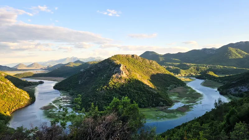
Named by Skadar Lake National Park and the Cetinje tourist office; a secondary source places it above Rijeka Crnojevića over the river's wide meander, on a paved road with room to pull over.
Stjepovo viewpointTuzi
Tuzi tourist office viewpoint reached on foot from the car park in front of the Besa building (42.44571, 19.45645); walk length and view not published.
Surdup and Štitan summits (Žijovo)Podgorica
Goal of the marked 8.5 km Žijovo trail from Bukumirsko lake: the viewpoints on Surdup (2,184 m) and Štitan (2,172 m per TO Podgorica; 2,165 m in OSM).
Treštenički vrhLovćen NP · 1,474 m
1,474 m peak on the park's 13 km, about 3 h loop 'Treštenički vrh i Babina glava' (also its recommended MTB route), with views of Ivanova korita, Jezerski vrh, Cetinje, Skadar Lake and Podgorica.
Trijebač viewpointPodgorica
Hill with the Trijepč memorial to WWII fighters at the top and a panoramic view of the city, the Morača and the surrounding mountains; end of the trail from Gorica via Malo brdo and Duklja to Trijebač.
Northern Region
Crna glava (Bjelasica)Kolašin · 2,139 m
Highest peak of Bjelasica and a Biogradska gora NP viewpoint: 7 km, +339 m, about 2 h 15 from eko katun Vranjak via Zekova glava.
Đurđevića Tara BridgeŽabljak/Pljevlja
Five-arch concrete bridge of 1940, 365 m long with the deck 172 m above the Tara; the NTO recommends walking to the middle.
Galev krš viewpointMojkovac
Roadside lookout with a memorial to the mountaineer Džambas on the road from Mojkovac to Đurđevića Tara, the best view of Tmajevac, where the Ravnjak joins the Tara at the entry to Durmitor National Park.
Ganića krš viewpointRožaje
Called one of the finest viewpoints in the town by the Rožaje tourist office, which installed a log photo frame there in November 2022; location and access not published.
Gradac panoramic terraceBerane
White-pine observation deck (about 3.5 × 8 m, two benches, information board) built in February 2026 below the remains of the Gradac archaeological site by the Polimski muzej.
Kneževići viewpoint and rest areaPlužine
Rest area 25 m west of the road from Trsa to Crkvičko Polje (trail 198), 10 km from Trsa and 6 km from Nedajno; view of Gornje Crkvice, Durmitor, Obzir and Ljubišnja.
Kokošinja glava on LisaAndrijevica
On bike route AN03, 600 m past the Lisa junction (1,735 m), a spot the Andrijevica tourist office calls perhaps the finest view of Komovi and Prokletije; the road turns to gravel just after.
Kom Vasojevićki summitAndrijevica · 2,460 m
Third-highest Komovi peak, 2,460 m: 4.3 km, +696 m, 2 h from the Štavna plateau; summit view over Komovi, Prokletije, Bjelasica, Sinjajevina and Moračke planine.
Kruška viewpoint over Piva lakePlužine
At a hairpin on the Plužine-Trsa road (bike route 193) below Kruška peak; Piva lake, Plužine, Ledenice and Bioč in view; a short photo stop on the climb to Trsa.
Mratinje damPlužine
The road crosses the 1969-1976 dam, with a 220 m drop to the Piva on the dry side; no stopping on the dam itself, but a widening past the Mratinje junction and short tunnel allows parking and walking back.
Plužine bridge viewpointPlužine
Rest area with parking on the far side of the bridge into Plužine, over Piva lake; a route-survey waypoint on the Crown of Montenegro panoramic road.
Raklje viewpointŽabljak
One of the finest viewpoints of southern Durmitor per the Žabljak tourist office: marked loop 7.22 km, +377 m, moderate, between 1,814 and 2,117 m, views towards Prutaš; park fee €5.
Sokolina viewpoint (Crkvičko Polje)Plužine
Nature Park Piva lookout on trail 192 with a full panorama from Durmitor to Maglić and Zelengora and the Tara canyon from Brštanovica up to Štuoc.
Sušica canyon lookout near Mala Crna GoraŽabljak
About 2 km past the Mala Crna Gora turn, a 100 m walk right of the gravel junction leads to an unguarded cliff edge among pines looking into the Sušica canyon and across to the Nedajno road.
Tara canyon lookout below ŠtuocŽabljak · 1,952 m
Roadside points on the Durmitor Ring just before the Štuoc pass (1,952 m, the highest asphalt road point in Montenegro) with the best view into the Tara canyon; light traffic allows stopping.
Unač viewpointPlužine · 1,365 m
Viewpoint and rest area built by the park in 2019 in the village of Unač (1,365 m), over Piva lake, Plužine and the Bioč-Maglić-Volujak massif; start of a 21 km bike trail to Crkvičko Polje.
Vodice viewpoint above PljevljaPljevlja
Viewpoint and rest area with a wooden shelter on the rise above motel Vodice, arranged by the municipality, with a view over the town.
Volušnica above GrebajeGusinje · 1,879 m
Summit (1,879 m) on Prokletije NP's recommended loop from Grebaje via Volušnica and Popadija back to Grebaje: 10.2 km, medium, about 5 h 30 from the Karanfil hut; park fee €3.
Zekova glava (Bjelasica)Kolašin · 2,117 m
Biogradska gora NP viewpoint at 2,117 m: 3.7 km, +317 m, about 1 h 20 from eko katun Vranjak, looking at Crna glava and Pešića lake; park fee €4.
Bay of Kotor and Lovćen
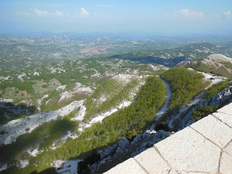
- Jezerski vrh, 1,657 m: the Njegoš Mausoleum stands on the second-highest peak of Lovćen, and its terrace is the widest view in the country: on a clear day much of Montenegro, Orjen and Rumija on the coastal side, Durmitor and Komovi inland, and parts of Albania, Herzegovina and Croatia. By road it is about 20 km from Cetinje to the car park, then 461 steps; on foot 4.8 km from the Ivanova korita visitor centre, about two hours. Lovćen National Park charges €3 a day, the mausoleum €8, and the mausoleum is open from 11 April to 15 November.
- Kuk: the park viewpoint that looks straight down on the Bay of Kotor. The Kotor-Lovćen cable car, opened on 13 July 2023, ends here; on foot it is on a 14 km loop from Ivanova korita, about four hours and easy. Kraljevo počivalo, another park viewpoint, takes in part of the bay, Budva, Tivat and its airport, and Herceg Novi.
- Kotor serpentine: the old Austro-Hungarian road from Škaljari, above Kotor, up to the Krstac pass and Njeguši, with the bay below at every bend; coming from Cetinje, Žanjev do is the first viewpoint after Njeguši. The Cetinje-Krstac section, built in 1879-1881, is the oldest vehicular road in Montenegro. The hairpins number 25 by one count and 32 by another. Not a road for large campers.
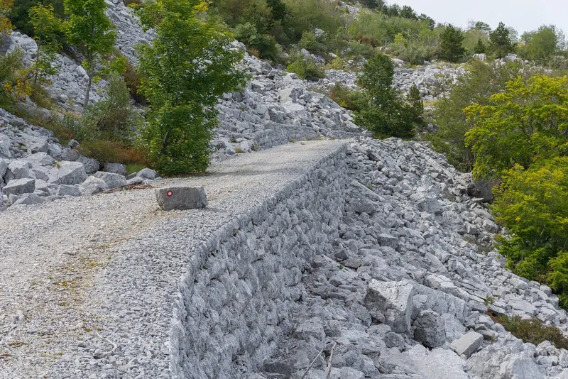
- Orjensko sedlo, 1,600 m: on the Herceg Novi side, the highest point that a road reaches in the Orjen massif, on the Austro-Hungarian military road from Vrbanj to Crkvice, now used mostly by hikers and off-road tours.
Durmitor and the Tara canyon
- Ćurevac, 1,625 m: the viewpoint over the Tara canyon, looking straight down on the village of Tepca. By car it is a turn 4 km from Žabljak on the Durmitor Ring; on foot a 17.74 km loop from the town with 340 m of climb, graded medium. Durmitor National Park charges €5 a day.
- Savin kuk, 2,325 m: the classic Durmitor viewpoint, directly above the Black Lake, with five lakes below: Crno, Pošćensko, Vražje, Riblje and Jablan. The marked trail is 4.76 km one way with 815 m of climb, medium; the paragliding take-off at 2,244 m is above the top of the two-seat chairlift (2,213 m).
- Sedlo pass, 1,907 m: the high pass on the Durmitor Ring between the Žabljak and Plužine sides, with a rest area and parking. From it, Sedlena greda, 2,227 m, is 1 h 30 on a medium trail, with the Valovito and Modro lakes in view.
- Crvena greda, 2,175 m: on the northern edge of the massif, with Jablan lake, the Black Lake and Žabljak from the top; a marked loop of 7.56 km, +389 m, medium.
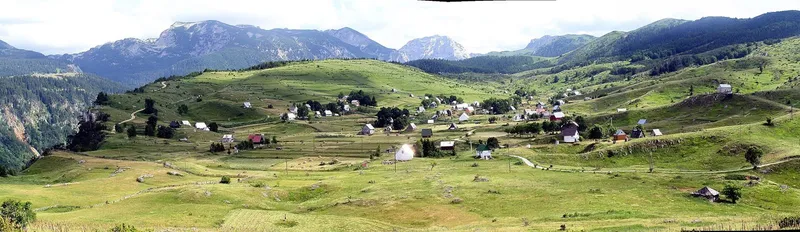
- Nedajno, 1,480 m: on the Plužine side of the Ring, over the Sušica canyon and across to the village of Mala Crna Gora; 5 km from the Trsa junction, then 900 m on gravel.
- Sokolina and Maričina greda: the Tara canyon from the Piva side, on Nature Park Piva trails above Crkvičko Polje. Sokolina (43.31713, 18.93735), on trail 192, has the full panorama from Durmitor to Maglić and Zelengora and the canyon from Brštanovica up to Štuoc; Maričina greda, 1,106 m, on trail 192c, looks along the canyon from Brštanovica to Grab, 1.1 km from Bukova ravan.
Piva canyon
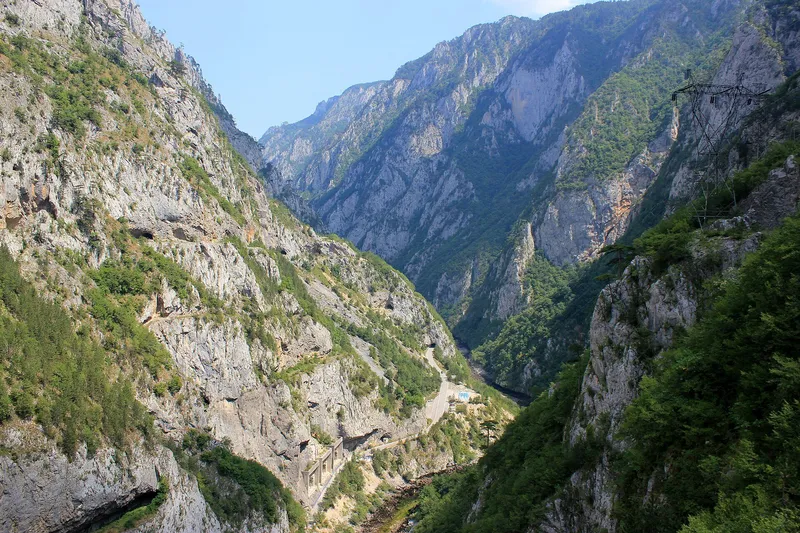
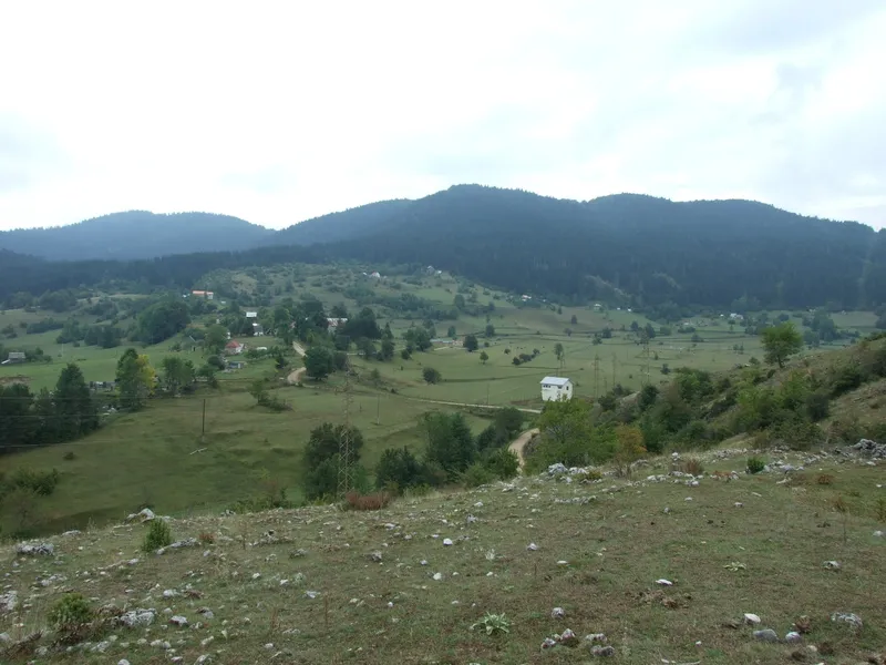
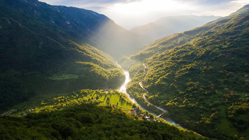
Nature Park Piva marks nine viewpoints with GPS points. The canyon viewpoint near Babići (43.27778, 18.85853) is about 1.7 km north-west of the Babići rest area on a cleared path and looks down the canyon to the Mratinje dam and across to the Vučevo plateau. Kruška (43.16877, 18.85773), at a hairpin on the Plužine-Trsa road below Kruška peak, overlooks Piva Lake, Plužine, Ledenice and Bioč, a short photo stop on the climb to Trsa. Zagrađe (43.34508, 18.85363) is the easiest of them: 80 m from the car park along the monastery's west wall, over Šćepan Polje and the confluence of the Tara and Piva, where the Drina begins. Muratovica, beside the memorial to the Herzegovina Uprising, is 250 m north of the junction on the pass across a meadow, with Durmitor, Pivska planina, Ledenice, Lebršnik and Bioč in view. Soko peak, 1,439 m, is 2.7 km on an easy trail from the Spomen dom in Rudine, over Crkvičko Polje, Durmitor, Vučevo and part of the canyon.
Lake Skadar
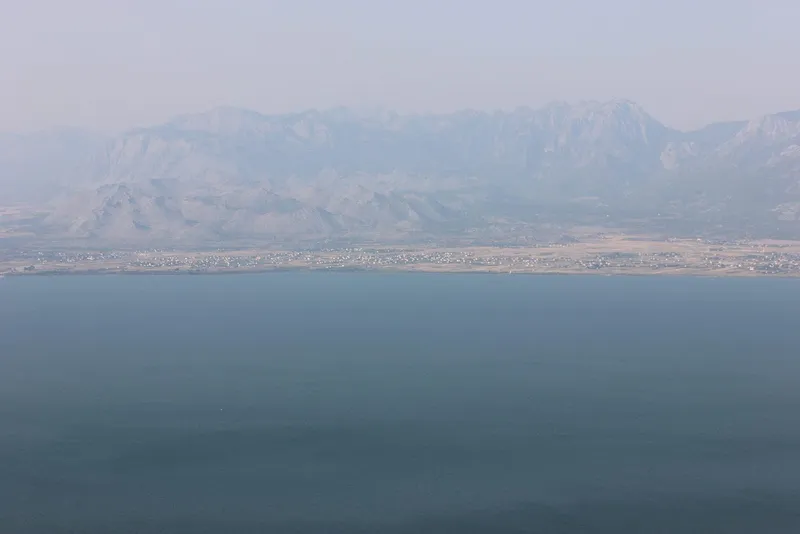
The lake has no single viewpoint; its lookouts are along the roads above the western and southern shores, all on the Skadar Lake viewpoints page. Pavlova strana, above Rijeka Crnojevića, is the best-known view of the national park: the river's wide meander before it enters the lake, seen from a paved road with space to pull over. Macalov brijeg, 8.7 km from the village on the old road to Virpazar, is a café terrace at Čukovići that looks over the lake itself. On the Bar side, Godinje (42.234883, 19.105628) looks over the lake and the stone houses of the village, with free parking; it is the end of the marked Zabes-Godinje trail, 4.5 km and about two hours, which passes the Brčelice pass viewpoint. Murići (42.158080, 19.209624) looks over the islets with their 14th-century monasteries, free parking again. Štegvaš, on the road to Ostros between Bar and Ulcinj, takes in the whole lake on one side and the Bojana basin and Šas lake on the other. Zekova glava, 164 m, is the park's central lookout, reached by a 3.9 km hike graded difficult. The nearest base is Virpazar; the park ticket is €5 a day.
Podgorica, the north-east and the coast
- Bendovac, 1,774 m: the viewpoint over Biogradsko jezero in Biogradska gora National Park, on Bjelasica: 6.8 km and about 700 m of climb from the lake car park, 2 h 30 up. Park fee €4.
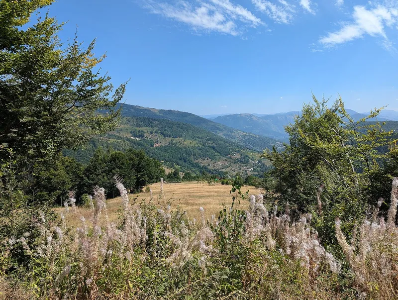
- Trešnjevik pass, 1,573 m: on the old road between Kolašin and Andrijevica, 18.3 km from Andrijevica with eight hairpins in the last 8 km; open ground with views to Komovi and the start of the trails to Vranjak, Lisa and Lumer.
- Grlo sokolovo: the Cijevna canyon far below and the Prokletije skyline, on the 65 km Korita circuit from Podgorica through Medun and Kučka Korita.
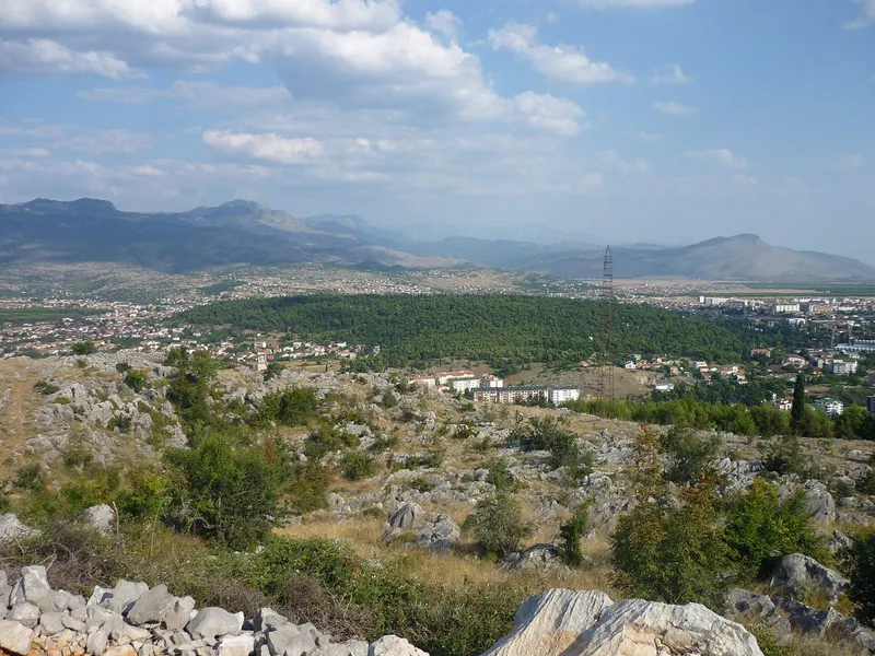
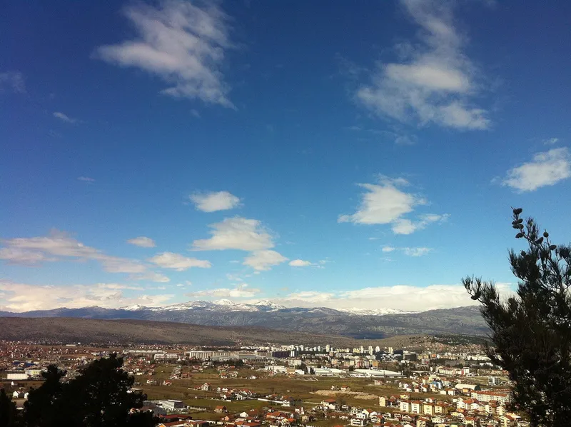
- Podgorica's hills: Gorica, beside the centre, over the Morača and the Millennium Bridge; Dajbabska gora, 172 m, an easy 0.5 km trail to the telecom tower; and Zelenika, 293 m, 1.5 to 2 hours from Komanski most with about 260 m of climb.
- Ćehotina meanders: about 20 km from Pljevlja on the Bijelo Polje road, the tight bends of the river above the Otilovići reservoir.
- Čelobrdo: above Sveti Stefan, at the top of Jegorov put, the stone path from Miločer; trail 16 is 1.7 km and easy.
Common questions
Which viewpoint is easiest to reach by car?
The Kotor serpentine and Jezerski vrh (a car park, then 461 steps), Sedlo pass and Ćurevac on the Durmitor Ring, Zagrađe (80 m from the car park), Pavlova strana on the paved road above Rijeka Crnojevića, and Godinje, Murići and Štegvaš with free parking. Kuk is reached by the Kotor cable car.
Which needs a hike?
Ćurevac (17.74 km loop), Savin kuk (4.76 km, +815 m), Sedlena greda (1 h 30 from Sedlo), Crvena greda (7.56 km loop), Bendovac (6.8 km, 2 h 30) and Zekova glava above Lake Skadar (3.9 km, difficult).
Do you pay to visit?
The viewpoints inside a national park are covered by its day ticket: Lovćen €3 (the mausoleum €8 on top), Durmitor €5, Skadar Lake €5, Biogradska gora €4. The Nature Park Piva viewpoints, the Kotor serpentine and the Podgorica hills have no ticket.
Related
Sources
- National Parks of Montenegro, Lovćen active holidays
- National Parks of Montenegro, Durmitor active holidays
- National Parks of Montenegro, Skadar Lake active holidays
- TO Cetinje, Njegoš's Mausoleum
- National Museum of Montenegro, mausoleum visit
- TO Žabljak, Ćurevac trail
- TO Žabljak, Savin kuk trail
- NTO, Paragliding (Savin kuk take-off)
- NTO, Panoramic roads
- Kotor Tourist Organisation: Vrmac
- Nature Park Piva, viewpoint Babići
- Nature Park Piva, viewpoint Kruška
- Nature Park Piva, viewpoint Zagrađe
- Nature Park Piva, viewpoint Sokolina
- Nature Park Piva, viewpoint Maričina greda
- TO Bar, Godinje viewpoint
- TO Bar, Murići viewpoint
- Wikipedia, R-1 regional road (secondary; road dates)