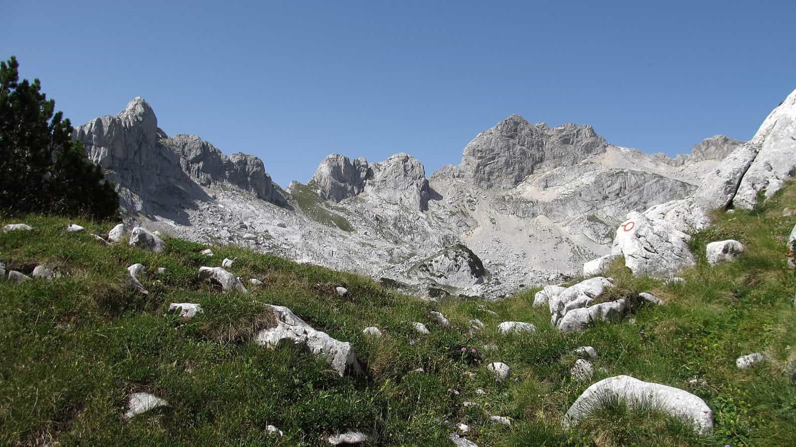
Hiking in Montenegro
11 places
Photo: Emil Joanović · CC BY-SA 3.0

Montenegro has about 3,000 km of mountain trails, about 1,480 km of them marked and about 800 km inside the five national parks. Most visitors hike in Durmitor, with 48 peaks over 2,000 m, 18 glacial lakes and 25 marked trails of about 150 km, and the climb to Bobotov kuk is the country's classic. The other day-hike areas are Prokletije on the Albanian border, the Komovi and Bjelasica above Kolašin, Lovćen above the Bay of Kotor, the hills of Skadar Lake and the coastal ranges Orjen, Vrmac and Rumija. The coast walks well from mid-April to the end of October, the high mountains from June to the end of October, and Durmitor is at its best from July to September. Park entry costs €3 to €5 per day, trails are graded easy, medium or hard on the boards, and 112 reaches mountain rescue free of charge.
Hiking: all places
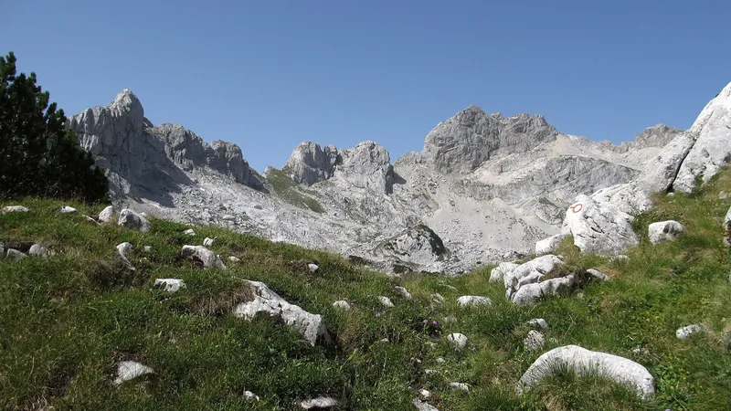
Bobotov kuk ascent
Durmitor National Park, Žabljak · 3 h up, 2 h 30 down
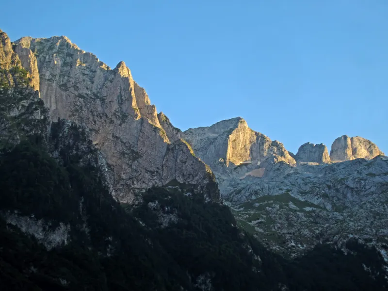
Grebaje Valley
Gusinje, Prokletije National Park · Loop Grebaje-Volušnica-Popadija about 5 h 30
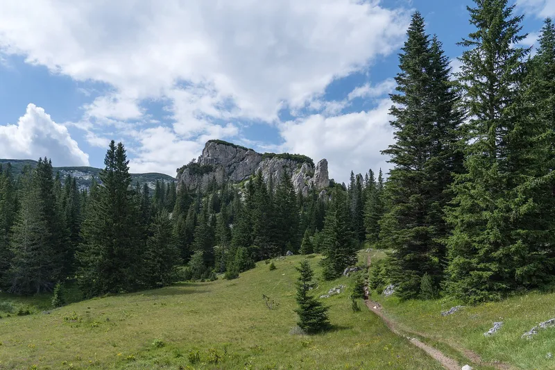
Hiking in Durmitor
Durmitor National Park, Žabljak
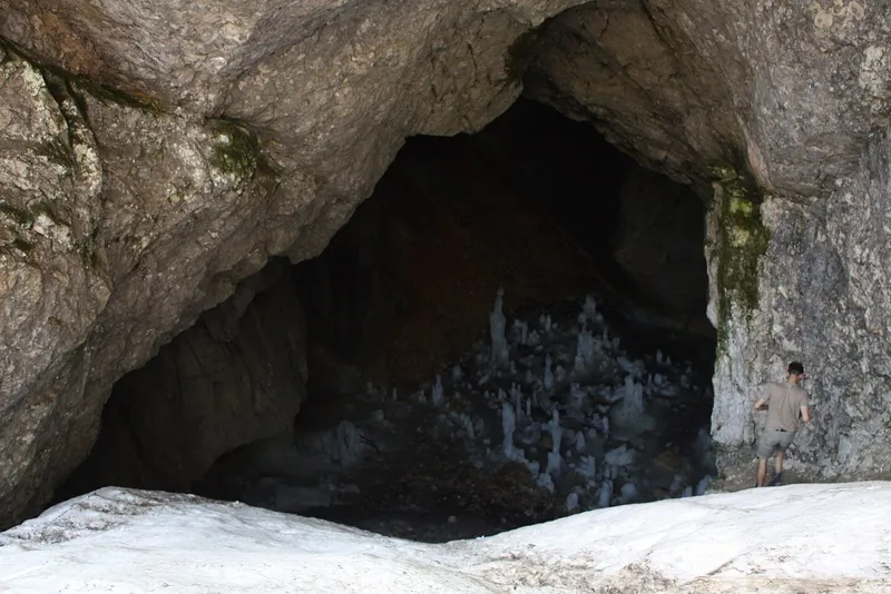
Ice Cave hike, Durmitor
Durmitor National Park, Žabljak · 6.55 km one way from Black Lake; 17.42 km loop over Minin bogaz
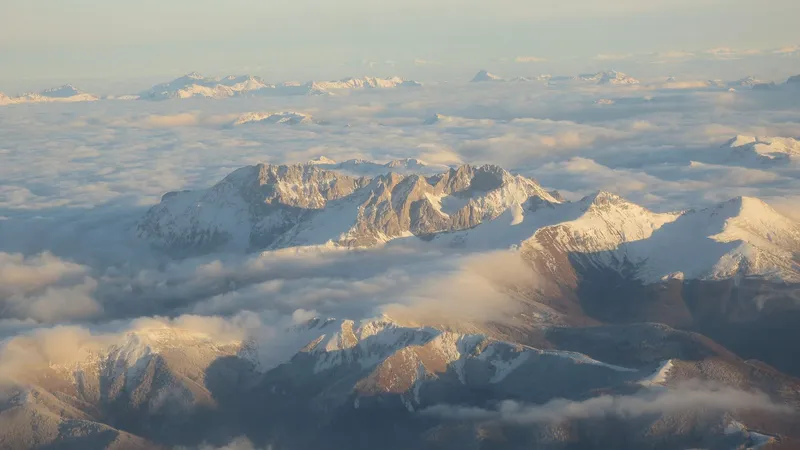
Kom Kučki ascent
Komovi, Štavna plateau, Kolašin municipality · About 3 h up (7 km)
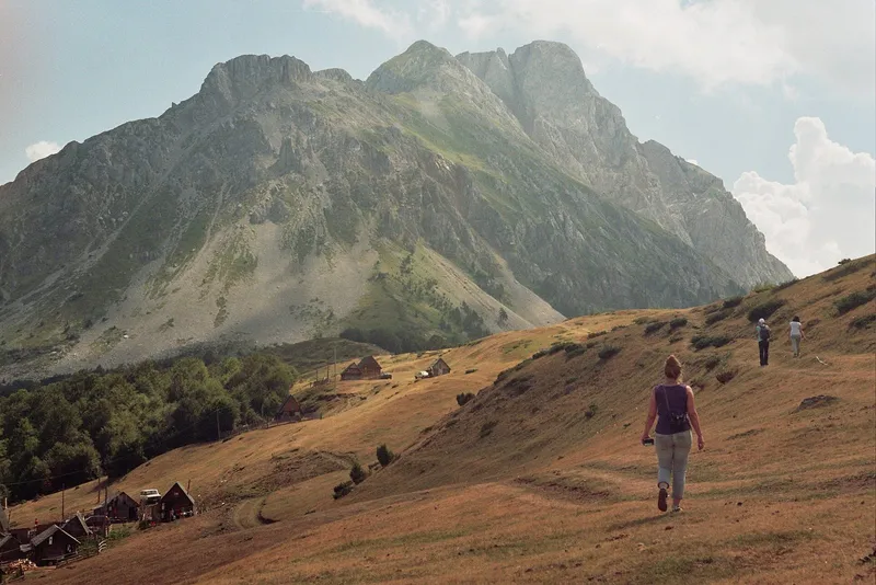
Komovi loop trail
Komovi, Štavna plateau, Kolašin municipality · About 6 h 30 (18.8 km)
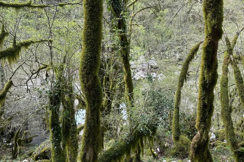
Mrtvica canyon trail
Međuriječje, Kolašin municipality · About 2 h one way to Plaža; about 13 km there and back
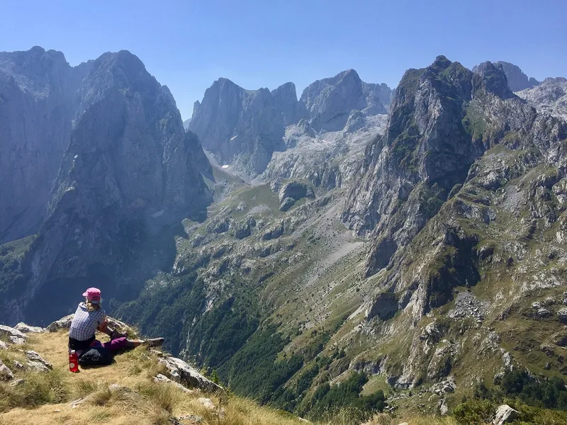
Peaks of the Balkans trail
Prokletije, Plav and Gusinje · 10-13 days for the whole loop
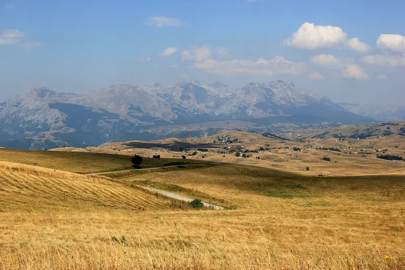
Via Dinarica White Trail in Montenegro
Northern Montenegro, Maglić to Gusinje · 6 stages, about 236 km
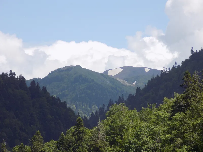
Dolovi Lalevića katun
Bjelasica, Kolašin municipality
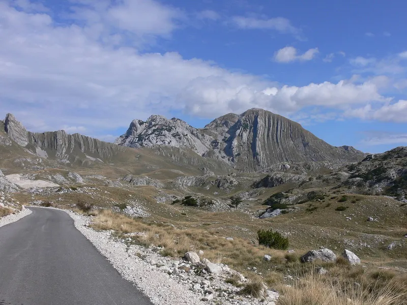
Prutaš ascent
Southern Durmitor, Šarban valley · 8.05 km loop, +725 m (no official time)
Guided hikes
Sponsored Canyoning Budva DrenovsticaRating 5 (15)from €100
 Canyoning Skurda River - Extreme adventure in Kotor CityRating 5 (62)from €140
 Durmitor mountain - Glacial lakes - Montenegro hiking toursRating 5 (2)from €180
 Bike & hike tourRating 5 (13)from €65
Tours, ratings and prices: Viator.
See all toursWhere to hike
Durmitor
The park's 25 marked trails start from Žabljak and the Black Lake, 3 km from town. The easiest walk is the loop around the lake, about 3.6 km and 1 h; the park's graded easy trail is the 6.2 km Jezera loop past the Suva lokva, Modro, Srablje and Valovito lakes, about 3 h. From the Sedlo pass (1,907 m) the climb to Sedlena greda (2,227 m) is graded medium and takes about 1 h 30; the same pass is the usual start for Bobotov kuk, 12.72 km return with 722 m of climb, about 3 h up and 2 h 30 down. Two classics with their own figures: the Ćurevac loop above the Tara canyon, 17.74 km with 340 m of climb, and Savin kuk, 4.76 km one way with 815 m of climb. The Ice Cave below Obla glava is a 6.55 km trail from Black Lake via the Lokvice katun. The huts at Škrka (mid-June to the end of September) and Sušica (late June to the end of September) are the park's summer overnight points; the shelters at Lokvice (1,800 m) and Kalice (2,020 m) are open all year. Prutaš and the overview of hiking in Durmitor have their own pages; in winter the lake-to-Savin kuk ground becomes the snowshoe trail.


Prokletije
The park's 13 marked trails, about 200 km in all, are all graded demanding; the two shorter walks below are easier. From Babino polje on the Plav side the walk to Hridsko jezero is 3.1 km, graded easy, about 1 h. From the Grebaje valley above Gusinje the Grebaje-Volušnica-Popadija loop is 10.2 km and about 5 h 30, past a prehistoric rock carving and a waterfall. The park charges €3 per day. The Peaks of the Balkans trail crosses the range into Albania and Kosovo and needs a border-police notice before you set off. Snow can lie here even in summer.


Komovi and Bjelasica
The Komovi are climbed from the Štavna katun (1,764 m): Vasojevićki Kom is 4.3 km and about 2 h, moderate; Kom Kučki 7 km and about 3 h with an exposed ridge; the circuit of the Koms 18.8 km and about 6 h 30. On Bjelasica, Biogradska gora has six marked trails: the loop around Biogradsko jezero, 3.3 km and about 40 min; the 2.5 km Ljeto u katunu (summer in the katun) trail, about 1 h; and from the Vranjak katun (1,800 m) the climbs to Zekova glava, 3.7 km and 1 h 20, and Crna glava, 7 km and 2 h 15. Entry is €4 per day. Kolašin is the town for both massifs, and Bjelasica and Sinjajevina walk from May to October.
Lovćen
Five trails follow old Austro-Hungarian roads. Staza vuka (the Wolf trail) is 6.8 km, easy, about 1 h 30; the loop to Kuk 14 km, about 4 h; Treštenički vrh to Babina glava 13 km, about 3 h; and the walk from the visitor centre at Ivanova korita to the Njegoš Mausoleum on Jezerski vrh 4.8 km, medium, about 2 h. A 140 m barefoot trail sits next to the visitor centre. Entry is €3 per day. The Kotor-Lovćen cable car lifts you from the bay side to the Kuk station inside the park, and Cetinje lies at the foot of the mountain on the other side.


Skadar Lake
Nine marked trails run through the hills of Skadar Lake National Park. The old caravan road from Komarno to Rijeka Crnojevića is 10.1 km and about 6 h; Zabes to the Godinje viewpoint above Virpazar is 4.5 km and about 2 h, both medium. The park's day ticket is €5.
The coast: Orjen, Vrmac and Rumija
Around Kotor the trails climb the Lovćen and Orjen massifs and the Vrmac ridge. Above Bar the routes are graded: Gornja Briska to Rumija, 5.1 km, medium; Dobri do to Rumija, 4 km, difficult; the coastal walk through the olive groves of Krajina, 7.7 km, easy; and Sutomore to the Haj Nehaj fortress, 2.7 km, easy. These are the walks for spring and autumn, when the high mountains are still under snow or already back under it.
Month by month
The coast and the coastal mountains walk from mid-April to the end of October, the high massifs from June to the end of October, Bjelasica and Sinjajevina from May to October, and Durmitor is at its best from July to September. Snow is possible in Prokletije even in summer. October is therefore still a hiking month in every region, and April and May belong to the coast. From December to March the same ground is used for snowshoeing and ski touring, mainly around Bjelasica; see skiing in Montenegro and the snowshoe trail above Black Lake.
Easy, medium, hard
Trails are graded easy, medium or hard by the Mountaineering Association of Montenegro (Planinarski savez Crne Gore), and the law on mountain trails requires the grade to appear on maps and trail boards.
| Trail | Where | Length | Climb | Time | Grade |
|---|---|---|---|---|---|
| Biogradsko jezero loop | Biogradska gora | 3.3 km | - | about 40 min | easy |
| Black Lake loop | Durmitor | about 3.6 km | - | 1 h | - |
| Sutomore to Haj Nehaj | Bar | 2.7 km | - | - | easy |
| Hridsko jezero | Prokletije | 3.1 km | - | about 1 h | easy |
| Jezera loop | Durmitor | 6.2 km | - | 3 h | easy |
| Staza vuka | Lovćen | 6.8 km | - | 1 h 30 | easy |
| Krajina olive groves | Bar | 7.7 km | - | - | easy |
| Kuk loop | Lovćen | 14 km | - | about 4 h | easy |
| Ivanova korita to the Mausoleum | Lovćen | 4.8 km | - | 2 h | medium |
| Zabes to Godinje | Skadar Lake | 4.5 km | - | about 2 h | medium |
| Gornja Briska to Rumija | Bar | 5.1 km | - | - | medium |
| Sedlo to Sedlena greda | Durmitor | - | - | 1 h 30 | medium |
| Ćurevac loop | Durmitor | 17.74 km | 340 m | - | medium |
| Savin kuk | Durmitor | 4.76 km one way | 815 m | - | medium |
| Grebaje-Volušnica-Popadija | Prokletije | 10.2 km | - | about 5 h 30 | medium |
| Komarno to Rijeka Crnojevića | Skadar Lake | 10.1 km | - | about 6 h | medium |
| Bobotov kuk from Sedlo | Durmitor | 12.72 km return | 722 m | about 3 h up | hard |
| Dobri do to Rumija | Bar | 4 km | - | - | difficult |
Long-distance routes
Four long routes run through the country: the Via Dinarica white trail; the Peaks of the Balkans circuit through Prokletije, Albania and Kosovo, which requires a border-police notice before you set off; the Orjen-Lovćen-Rumija coastal transversal above the sea; and CT-1, Planinama Crne Gore, which crosses Biogradska gora and the Komovi. The Durmitor huts at Škrka and Sušica (summer) and the all-year shelters at Lokvice and Kalice are the park's own overnight points.
Rules, fees and guides
- Walkers go at their own risk and must not damage trail markings, plants or animals; the same law counts cables and ladders on a trail as trail infrastructure.
- Park entry per person per day: Durmitor €5, Biogradska gora €4, Lovćen €3, Skadar Lake €5, Prokletije €3; the full price lists and exemptions are on the national parks page.
- A park guide costs €40 for 4 h or €80 for 8 h; camping is allowed only at designated places, a tent pitch €3 a day.
- A licensed mountain guide is recommended and solo tours are discouraged; the Mountaineering Association publishes the list of certified guides.
- Peaks of the Balkans: border-police notice required.
Safety
112 is the emergency number and covers mountain rescue, free of charge; the numbers for each municipality are on the emergency page. Trail grades on boards and maps are official. Prokletije can have snow in summer, and the huts on Durmitor close at the end of September; outside those months only the shelters at Lokvice and Kalice stay open.
Common questions
Is hiking in Montenegro safe alone?
Solo tours are discouraged and a licensed mountain guide is recommended. Walkers go at their own risk under the trail law; mountain rescue is reached on 112 and is free.
Do you need a guide for Bobotov kuk?
No rule requires one. A licensed mountain guide is recommended and solo tours discouraged; from the Sedlo pass the route is 12.72 km return with 722 m of climb, about 3 h up, and Durmitor is best from July to September.
Can you hike in October?
Yes. The coast walks from mid-April to the end of October and the high mountains from June to the end of October.
What is the easiest hike in Durmitor?
The loop around Black Lake, about 3.6 km and 1 h; the park's graded easy trail is the 6.2 km Jezera loop, about 3 h. Sedlo to Sedlena greda is graded medium and takes about 1 h 30 from the pass.
Do I pay to hike in the national parks?
Yes, per person per day: Durmitor €5, Biogradska gora €4, Lovćen €3, Skadar Lake €5 and Prokletije €3. The Peaks of the Balkans route also needs a border-police notice.
Related
- Scenic rides
- Kotor-Lovćen cable car
- National parks
- DurmitorLovćenBiogradska goraProkletijeSkadar Lake
- Scenic viewpoints
- ĆurevacSavin kukSedlo passGodinje viewpoint
- Monuments
- Njegoš MausoleumHaj-Nehaj fortress
- Rivers
- Rijeka Crnojevića
Sources
- NTO: Hiking & Trekking
- NTO: Durmitor National Park
- NTO: Biking
- National Parks of Montenegro: Durmitor, active holidays
- National Parks of Montenegro: Durmitor price list
- TO Žabljak: trails Ćurevac and Savin kuk
- TO Žabljak: trail Crno jezero-katun Lokvice-Ledena pećina
- National Parks of Montenegro: Prokletije, active holidays
- National Parks of Montenegro: Prokletije price list
- National Parks of Montenegro: Biogradska gora, active holidays
- National Parks of Montenegro: Lovćen, active holidays
- National Parks of Montenegro: Skadar Lake, active holidays
- National Parks of Montenegro: Skadar Lake price list
- TO Bar: Activities
- Kotor Tourist Organisation: Hiking and trekking
- Zakon o planinskim stazama (2008), FAOLEX copy
- EKIP: 112 press release, Feb 2023 (PDF)
- Montenegro Tourist Board, Hiking and trekking (Peaks of the Balkans, Via Dinarica)
- TO Žabljak, Bobotov kuk and Ćurevac trails
- TO Kolašin, Komovi and Bjelasica trails
- National Parks of Montenegro: Biogradska gora price list
- National Parks of Montenegro: Lovćen price list