Lakes of Montenegro
15 places
Montenegro's lakes fall into three kinds. Lake Skadar, shared with Albania, is the largest lake in the Balkans: 369.7 km² for the whole lake in MONSTAT's table (about 224 km² of it in Montenegro), about 370 km² in summer and 540 km² in winter, at only 6 m above sea level, with the small Šasko jezero near Ulcinj as its only lowland neighbour. The glacial lakes left by the last Ice Age are small and high: on Durmitor, Bjelasica and Prokletije, but also on Sinjajevina, Maglić, the Moračke planine and Žijovo in Kuči. The Black Lake near Žabljak at 1,418 m is the best known, Hridsko jezero at 1,970 m the highest with a measured elevation, Kapetanovo jezero on Lukavica 37 m deep, and Bukumirsko jezero the one you can drive to. The reservoirs make the third kind: Piva Lake in its flooded canyon, Krupac and Slano jezero on the Nikšić field, Otilovići on the Ćehotina.
Most of the mountain lakes lie in national parks with a day ticket, boat hire and fishing permits; Plavsko jezero at Plav is free to reach and has a town on its shore, and Krupac is the swimming lake of the interior, 6.5 km by road from Nikšić. The tables below list every lake with an official source, grouped by region, with its height and what to expect there, and the sections after them cover boats, swimming, fishing and driving times.


15 results
Nothing matches these filters.
All lakes
Black Lake (Crno jezero)
Glacial Lake · 1,418 m · Žabljak
Skadar Lake
Tectonic Lake · 6 m · Podgorica / Cetinje / Bar
Biogradsko Lake
Glacial Lake · 1,094 m · Kolašin
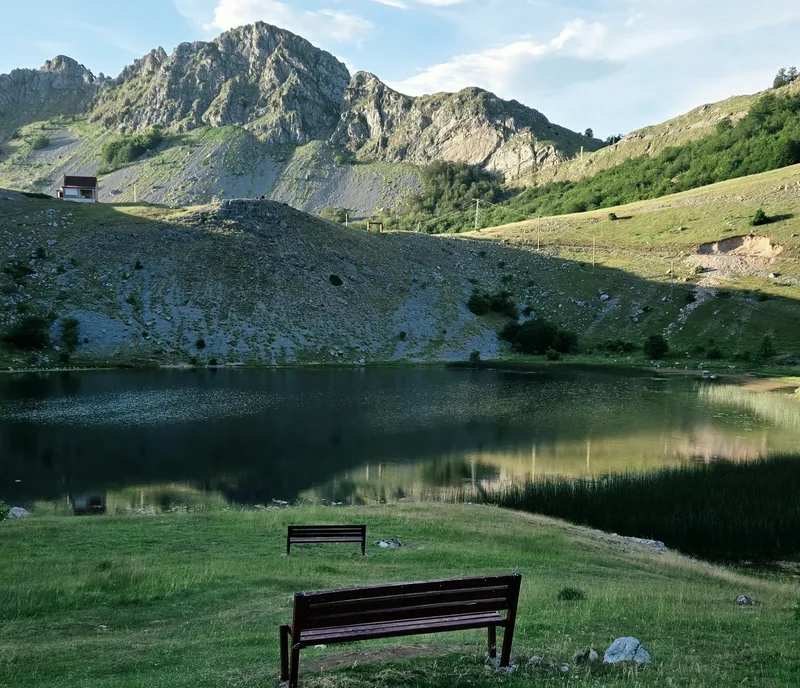
Bukumirsko jezero (Bukumir Lake)
Podgorica (Kuči)
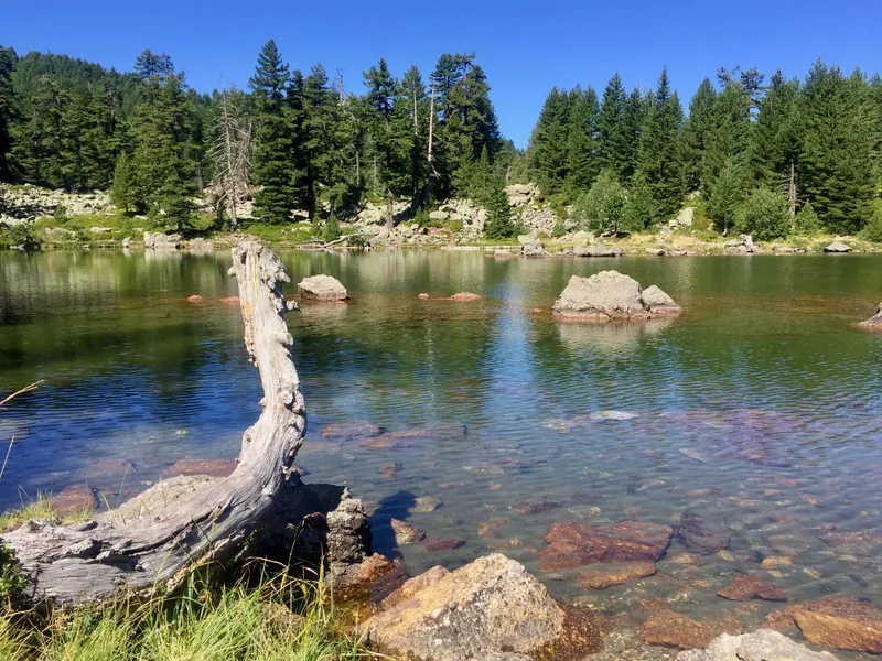
Hridsko jezero
Glacial Lake · 1,970 m · Prokletije National Park, Plav
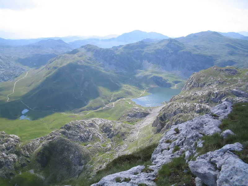
Kapetanovo jezero (Kapetanovo Lake)
Lukavica (Nikšić and Kolašin)
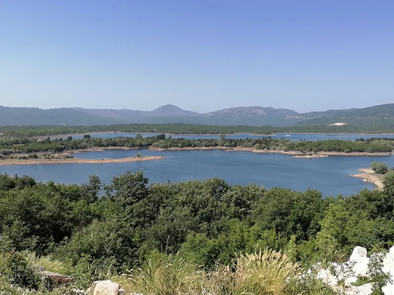
Lake Krupac (Krupačko jezero)
Nikšić
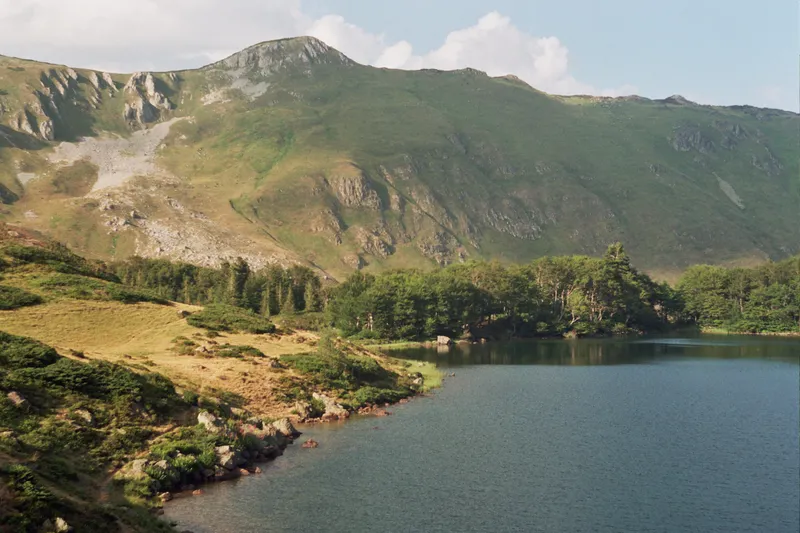
Pešića jezero (Pešića Lake)
Berane
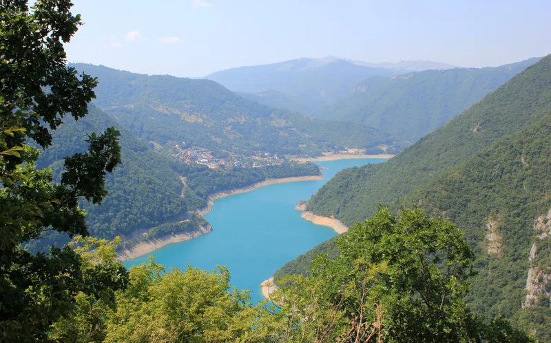
Piva Lake (Pivsko jezero)
Plužine
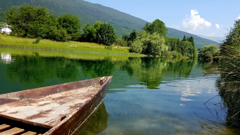
Plav Lake
Glacial Lake · 906 m · Plav
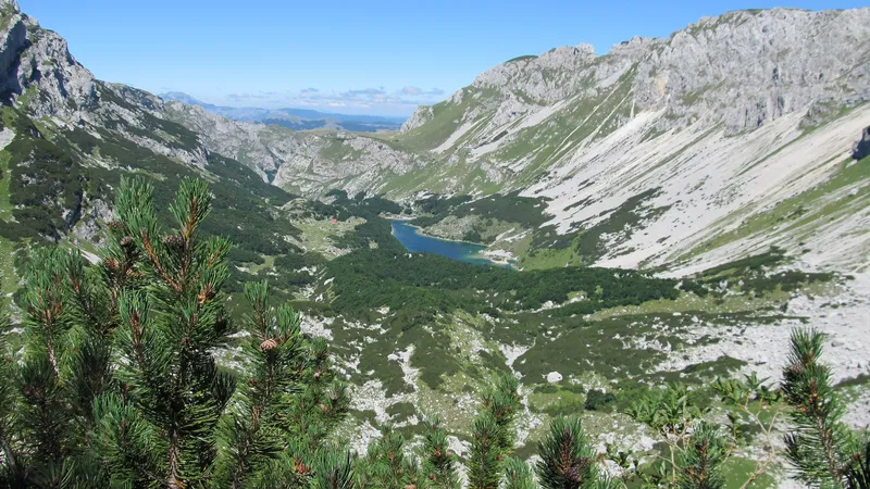
Škrčka jezera (Škrka Lakes)
Plužine
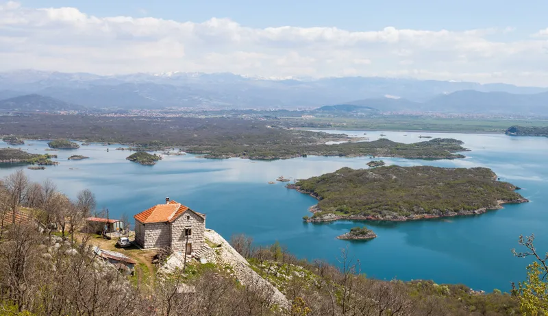
Slano jezero (Slano Lake)
Nikšić
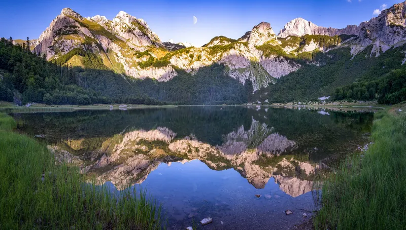
Trnovačko jezero (Trnovačko Lake)
Plužine
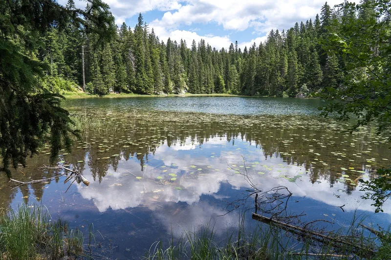
Zminje jezero
Glacial Lake · 1,520 m · Žabljak
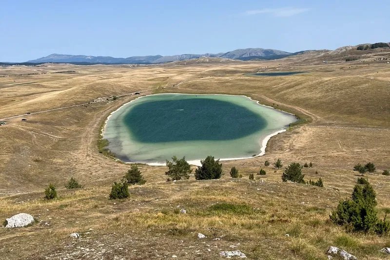
Vražje jezero
Glacial Lake · 1,411 m · Žabljak
The lakes at a glance
Elevations, sizes and depths come from the register of waters and the statistical yearbook; the national parks and the tourist boards supply access and the rest. Lakes with their own page are linked by name; the others link to the park, mountain, town or trail page that covers the visit. A dash means no measured figure.
The coast and Lake Skadar
| Lake | Municipality, area | Elevation | What it is, how to reach it |
|---|---|---|---|
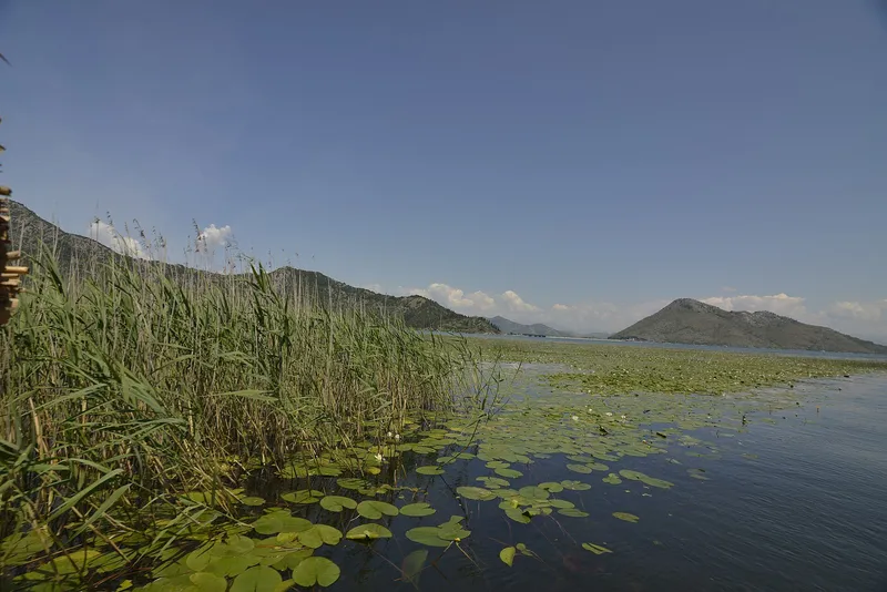
| Lake Skadar | Bar, Podgorica, Cetinje | 6 m | Tectonic-karst lake shared with Albania, 369.7 km² in all and 44 m deep; Skadar Lake National Park, boats from Virpazar, Vranjina, Rijeka Crnojevića and Plavnica. |
| Šasko jezero | Ulcinj | 2 m | Karst lake in the Ulcinj field, 3.6 km² and up to 8 m deep at the Begovo oko spring; drains by canal to the Bojana, water up to about 27 °C in August; important bird habitat with the ruins of Šas above it. |
Nikšić: the reservoirs of the karst field
| Lake | Municipality, area | Elevation | What it is, how to reach it |
|---|---|---|---|
| Krupac | Nikšić | 620 m | Reservoir of the Perućica hydro scheme, 6.5 km by road from the town, 5 km² and up to 13 m deep; sandy beach by the north end of the 1.5 km dam, water up to 28 °C in summer, kayak and SUP. |
| Slano jezero | Nikšić | 621 m | Reservoir of the same scheme, 7.8 km² and up to 18 m deep, with an indented shore of islands and peninsulas and the limestone island Viža; up to 20,000 migratory birds at times; seen from the M7 on its west side. |
| Vrtac | Nikšić | 614 m | Retention basin on the Nikšić field, by Krupac and Slano, about 13 km² when full, but mostly dry: the ground is permeable and the water drains away; a gravel road runs along its 2.36 km dam. |
| Liverovići | Nikšić, Župa | 719-738 m | Reservoir on the Gračanica behind an arch dam finished in 1957, 0.93 km² and 45 m deep, east of the Nikšić field; sport fishing and summer swimming. |
| Grahovsko jezero | Nikšić, Grahovo | 783 m | Irrigation reservoir of 0.108 km² on the Risan-Nikšić road, built in 1952 on the initiative of Vasilije Kovačević Čile; popular with campers. |
| Bilećko jezero | Nikšić, Banjani | 400 m | Reservoir of the Trebišnjica behind the Grančarevo dam in Bosnia and Herzegovina; about 4 of its 33 km² lie in Montenegro, at Miruše and Petrovići; swimming, diving and fishing, Crvena stijena above the shore. |
Durmitor and Sinjajevina
| Lake | Municipality, area | Elevation | What it is, how to reach it |
|---|---|---|---|
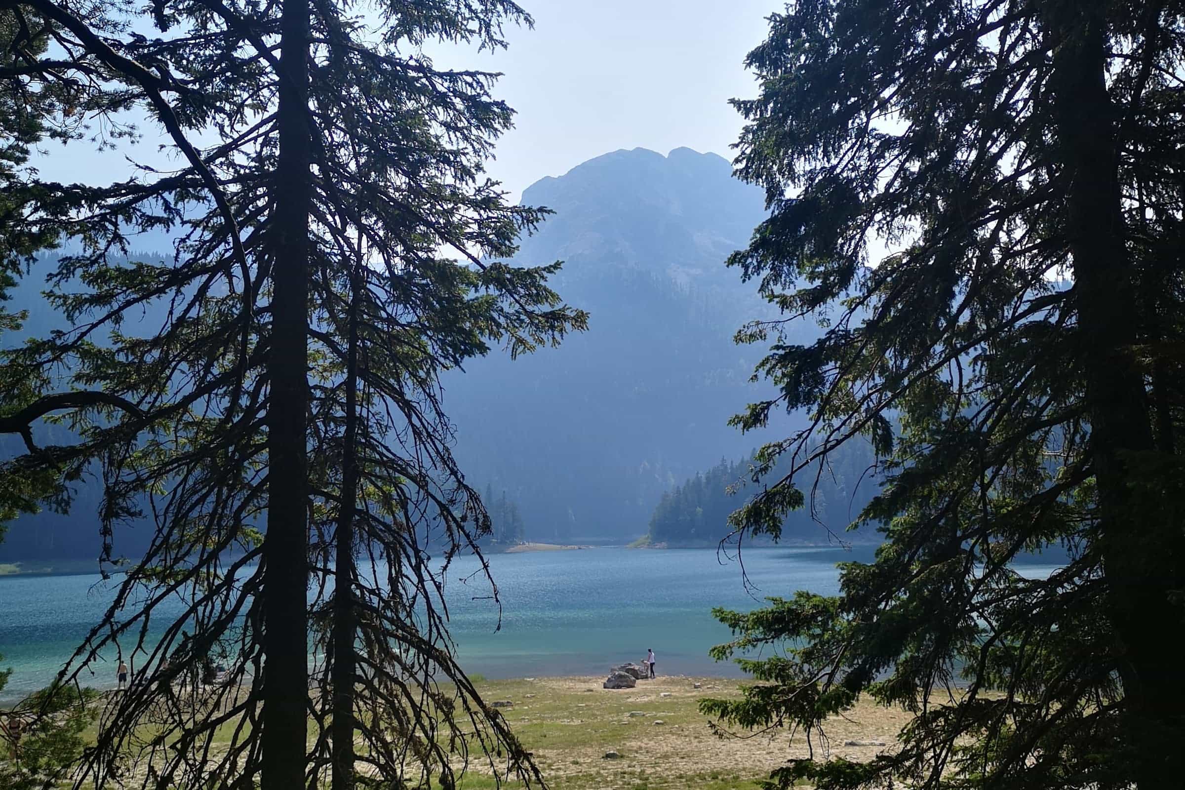
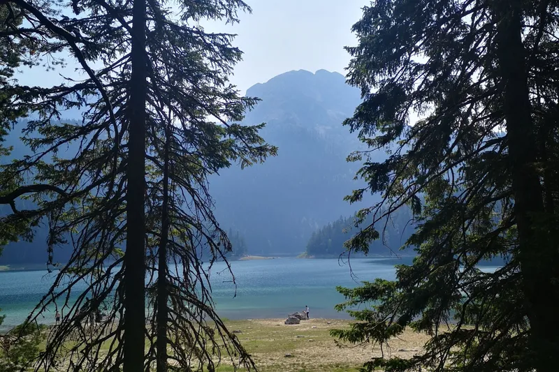
| Black Lake | Žabljak | 1,418 m | The largest Durmitor lake, 0.52 km² and 49.1 m deep, two basins joined by a strait, 3 km from the town; walking loop, boat hire, swimming. |
| Zminje jezero | Žabljak | about 1,520 m | Small lake in conifer forest, 7.7 m deep, a walk from the Black Lake via Barno jezero. |
| Barno jezero | Žabljak | - | Just west of Bosača, next to Zminje jezero; special nature reserve of about 5 ha on the Three Lakes loop. |
| Jablan jezero | Žabljak, Pitomine | 1,791 m | About 3 km north-west of the Black Lake at the foot of Crvena greda, 0.012 km²; on the easy Three Lakes loop with Bosača and Barno, 8.93 km. |
| Vražje jezero | Žabljak | about 1,411 m | On the Jezerska plateau by the old Nikšić road, about 12 km from Žabljak, 0.118 km² and up to 11 m deep; visible from Savin kuk. |
| Riblje jezero | Žabljak, Novakovići | 1,412 m | Less than 600 m from Vražje jezero, 0.042 km² and 5.5 m deep, with the medieval stećak gravestones just north of it. |
| Pošćensko jezero | Žabljak, Pašina Voda | 1,488 m | 150-200 m east of the Nikšić-Žabljak road below the Pošćenski katun, 0.025 km² and 3.6 m deep; in Durmitor National Park. |
| Suva lokva | Žabljak | 1,594 m | In the Pošćenska dolina, about 1.8 km from Pošćensko jezero; start of the easy Jezera loop (6.2 km, about 3 h) past Modro, Srablje and Valovito jezero. |
| Modro jezero | Žabljak | 1,625 m | Below the Sedlo pass, 700 m south-west of the Žabljak-Plužine road, 0.004 km² and 3.3 m deep; seen from Sedlena greda. |
| Srablje jezero | Žabljak | about 1,600 m | 200 m west of Modro jezero behind a moraine, on the same Jezera loop. |
| Valovito jezero | Žabljak | 1,695 m | 300 m south of the Žabljak-Plužine road below Sedlo, 0.002 km² and 3.5 m deep. |
| Zeleni vir | Žabljak | 1,820 m | Tarn at Mlječni do on the Sedlo route up Bobotov kuk. |
| Škrčka jezera | Plužine, Pišče | 1,700 and 1,730 m | Veliko (0.11 km², 17.2 m deep) and Malo Škrčko jezero (0.014 km², 15.2 m) in the valley 800 m below Bobotov kuk; the park hut Škrka stands between them, open mid-June to the end of September; walk in from Sedlo or Dobri do past Prutaš. |
| Sušičko jezero | Žabljak and Plužine | 1,140 m | Seasonal lake in the Sušica valley, 0.08 km² and 4-5 m deep when full, fed by Veliko Škrčko jezero over the Skakala; dries out in summer. Park hut Sušica on the shore. |
| Zabojsko jezero | Mojkovac, Dobrilovina | 1,477 m | On Sinjajevina in the Mojkovac part of Durmitor National Park, 0.028 km² and 18.8 m deep, clear to 8 m, about 16 °C in summer; about 8 km of winding gravel road from Dobrilovina on the Mojkovac-Đurđevića Tara road, by 4x4 or on foot; path round the lake. |
| Zminičko jezero | Žabljak, Zminica | 1,285 m | Small lake by Zminica village at the foot of Sinjajevina. |
| Pošćenska jezera | Šavnik, Pošćenje | - | Two small glacial lakes 300 m apart by Pošćenje village; not the Durmitor lake of almost the same name. |
Piva: Maglić and Bioč
| Lake | Municipality, area | Elevation | What it is, how to reach it |
|---|---|---|---|
| Piva Lake | Plužine | 595-675 m | Reservoir behind the Mratinje dam, about 13.2 km² and up to about 188 m deep; the M3 runs along it, the nature park runs cruises and rents kayaks. |
| Trnovačko jezero | Plužine, Stabna | 1,517 m | Heart-shaped glacial lake between Maglić and Volujak, 2 km from the Bosnian border, 0.12-0.40 km² by season and 9.2 m deep; on foot only, by trails from three directions; the Via Dinarica enters Montenegro here. |
| Veliko Stabanjsko jezero | Plužine, Stabna | 1,319 m | Glacial lake under Bioč in Piva nature park, 0.04 km² and 9.7 m deep, about 4 km from Stabna village (the park brochure gives 4.5 km); start of the marked trails to Veliki Vitao (2,397 m) and the easier loop via katun Kručica. |
| Malo Stabanjsko jezero | Plužine, Stabna | 1,194 m | The smaller of the pair, 0.011 km² and 4.3 m deep. |
Moračke planine: Lukavica
| Lake | Municipality, area | Elevation | What it is, how to reach it |
|---|---|---|---|
| Kapetanovo jezero | Kolašin, on the Nikšić boundary | 1,678 m | Glacial lake on the Lukavica plateau of the Moračke planine, 0.092 km² and 37 m deep, with about thirty small houses around it; marked trails from Gradačka poljana (20 km) and Zagarački katun (5.5 km); native and brook trout. |
| Manito jezero | Kolašin, Lukavica | 1,773 m | About 1.2 km south-east of Kapetanovo jezero, 0.026 km² and 13.4 m deep; no road and no buildings. |
| Jezerina | Kolašin, Lukavica | 1,855 m | Seasonal lake 2 km south-east of Manito jezero. |
Bjelasica
| Lake | Municipality, area | Elevation | What it is, how to reach it |
|---|---|---|---|
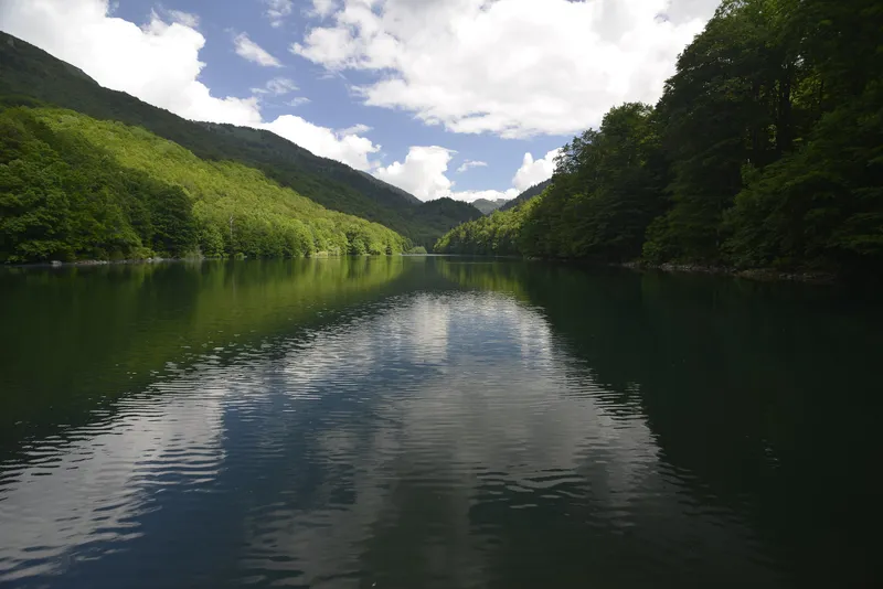
| Biogradsko jezero | Kolašin | 1,094 m | The largest of the six lakes in Biogradska gora National Park, 0.23 km² and 12.1 m deep, ringed by a flat walking loop; 21.7 km from Kolašin by car, boat and kayak hire. |
| Pešića jezero | Berane, Lubnice | 1,837 m | Second largest glacial lake on Bjelasica, 0.037 km² and 8.4 m deep, between Crna glava, Zekova glava and Belil inside the park; on foot from katun Vranjak, from the top of the Kolašin 1600 chairlift, or by car on the road past Dolovi Lalevića to a signposted turn-off. |
| Veliko Šiško jezero | Kolašin and Berane | 1,660 m | About 400 m by 140 m, 3.2 m deep, in the park 50 m from the Mojkovac boundary; on the park's bike route Ševarine-Šiško jezero-Suvodo. |
| Malo Šiško jezero | Berane | 1,793 m | Silty pool 1.7 m deep, a watering place for livestock. |
| Veliko Ursulovačko jezero | Berane, Kurikuće | 1,899 m | About 800 m north of Crna glava in the park and about 2 km north of Pešića jezero, 162 by 106 m and up to 8.1 m deep; also called the Kurikuće lake. |
| Malo Ursulovačko jezero (Blatina) | Berane | 1,767 m | Shallow (2.2 m) and used by livestock. |
| Ševarine | Berane | - | Glacial lake named by the park; no measured figures. |
Prokletije, Visitor and Plav
| Lake | Municipality, area | Elevation | What it is, how to reach it |
|---|---|---|---|
| Plavsko jezero | Plav | 906 m | The largest glacial lake in the country, 1.99 km² and 9.1 m deep, source of the Lim, with the town on its shore; outside the national park. |
| Hridsko jezero | Plav | 1,970 m | Special nature reserve in Prokletije National Park, 33,000-36,000 m² and about 5 m deep; 12.8 km of road from Plav to Babino polje, then about an hour on foot. |
| Visitorsko jezero | Plav, Murino | 1,735 m | Tiny glacial lake (0.005 km², 4.1 m deep) about 5 km north-west of Plav below the Visitor summit; a grassy island covers almost a third of its surface. |
| Ropojansko jezero | Gusinje, Vusanje | 1,252 m | Seasonal lake at the end of the Ropojana valley above Gusinje, on the Albanian border, in Prokletije National Park; often dry in summer, up to 0.133 km² on the Montenegrin side at high water. |
| Bjelajsko, Koljindarsko, Tatarijsko and the tarns on Vezirova brada, Treskavac and in Grbaja | Plav and Gusinje | - | Small glacial lakes of Prokletije named by the park and the Gusinje tourist board; no measured figures. |
Kuči mountains: Žijovo
| Lake | Municipality, area | Elevation | What it is, how to reach it |
|---|---|---|---|
| Bukumirsko jezero | Podgorica, Kuči | 1,440 m | Glacial lake on the north slope of Žijovo, 210 by 130 m and 16.8 m deep, home of the endemic Montenegrin alpine newt; 25 km each way off the Korita panoramic circuit, mostly paved, the last kilometre or so unpaved; the marked Žijovo trail to Surdup starts here. |
| Rikavačko jezero | Podgorica, Kuči | 1,313 m | 0.118 km² and 13.9 m deep, where Žijovo meets Prokletije, its east shore 250 m from the Albanian border; 16 km of unpaved road each way from the Korita circuit, SUV or 4x4 only; can be joined with Bukumirsko in a loop of about 50 km. |
Pljevlja and Rožaje
| Lake | Municipality, area | Elevation | What it is, how to reach it |
|---|---|---|---|
| Otilovići | Pljevlja | 837 m | Reservoir of the Ćehotina behind a 59 m concrete arch dam, backing the river up for more than 9 km, about 1.15 km²; built for the Pljevlja power station; fishing, kayaking and walks from the Ćehotina meanders viewpoint. |
| Rujišta | Rožaje, Biševo | about 1,500 m | Small lake at the Rujišta picnic site with a hunting lodge beside it and a view to Gospođin vrh. |
Lake Skadar and Lake Šas
Lake Skadar is 44 km long with a maximum depth of 44 m and an average of about 5 m; about two thirds of it lie in Montenegro and the rest in Albania. It has been a national park since 1983, a Ramsar wetland since 1995 and an Important Bird Area since 1989, with 281 recorded bird species including the Dalmatian pelican. The lake drains to the Adriatic through the Bojana, and the drowned valley of Rijeka Crnojevića runs into it. Licensed boats leave from four piers, Vranjina, Virpazar, Rijeka Crnojevića and Plavnica; fees, trails and the visitor centres are on the park page, and the lookouts above the shore on the Skadar Lake viewpoints page.
The only other lowland lake is Šasko jezero near Ulcinj, a karst cryptodepression in the Ulcinj field about 16 km from the mouth of the Bojana: 3.6 km², up to 8 m deep at the Begovo oko spring that feeds it from the lake bed, with a canal to the Bojana and the ruins of the old town of Šas above the shore. It lies between the two most important waterbird areas of the country, Skadar and the Bojana delta with the Ulcinj salt pans, and is itself an important bird habitat.
Glacial lakes of the mountains
Durmitor has 18 glacial lakes, called gorske oči, mountain eyes. The Black Lake, 3 km south-west of Žabljak, is the largest: 0.52 km², 49.1 m deep, two basins joined by a strait that can dry out in late summer, with underground drainage to both the Tara and the Piva. Zminje jezero lies in conifer forest at about 1,520 m, a walk from the Black Lake via Barno jezero; Jablan jezero at 1,791 m, under Crvena greda, is on the same easy Three Lakes loop of 8.93 km. Vražje jezero is on the Jezerska plateau about 12 km from Žabljak on the old Nikšić road, up to 11 m deep, visible from Savin kuk, with Riblje jezero less than 600 m away. Below the Sedlo pass the Jezera loop (6.2 km, about 3 hours, easy) links Suva lokva, Modro, Srablje and Valovito jezero, and Zeleni vir at 1,820 m lies on the Sedlo route up Bobotov kuk. On the Plužine side, the two Škrčka jezera sit 800 m below Bobotov kuk with the park hut Škrka between them, open mid-June to the end of September with your own sleeping bag; the larger lake drains over the Skakala into the seasonal Sušičko jezero in the Sušica valley, which dries out in summer. Zabojsko jezero on Sinjajevina, in the Mojkovac part of the park, is 18.8 m deep and reached by about 8 km of gravel road from Dobrilovina, by 4x4 or on foot.
On Bjelasica, Biogradsko jezero (0.23 km², 1,094 m, 12.1 m deep) is the largest of six lakes in the national park, ringed by a flat walking loop. Higher on the same ridge, Pešića jezero (1,837 m, 8.4 m deep) sits between Crna glava, Zekova glava and Belil; it is reached on foot from katun Vranjak, from the top of the Kolašin 1600 chairlift, or by car on the road past Dolovi Lalevića to a signposted turn-off. Veliko and Malo Šiško, Veliko and Malo Ursulovačko and Ševarine are the park's smaller lakes, the Ursulovačko pair just north of Crna glava.
In Prokletije, Plavsko jezero at Plav, 1.99 km² at 906 m and 9.1 m deep, is the largest glacial lake in the country and the source of the Lim; it lies outside the national park. Hridsko jezero, the highest lake on this page with a measured elevation, at 1,970 m, is a special nature reserve inside the park: 33,000-36,000 m² as the level varies, about 5 m deep, reached from Plav by 12.8 km of road to Babino polje and then about an hour on foot on an easy trail. Visitorsko jezero, about 5 km north-west of Plav below the Visitor summit at 1,735 m, is small and shallow, with a grassy island covering almost a third of its surface. Ropojansko jezero at the end of the Ropojana valley above Gusinje, on the Albanian border, often dries out in summer.
Outside the national parks, in the Kuči mountains east of Podgorica, Bukumirsko jezero (1,440 m, 16.8 m deep) is the start of the marked Žijovo trail and home to the endemic Montenegrin alpine newt; the detour from the Korita panoramic circuit is 25 km each way, mostly paved, with the last kilometre or so unpaved. Rikavačko jezero (1,313 m, 0.118 km²), with its east shore 250 m from the Albanian border, needs an SUV or 4x4 for 16 km of unpaved road from the circuit; the two can be joined in a loop of about 50 km. On Lukavica in the Moračke planine, Kapetanovo jezero (1,678 m) is 37 m deep, with marked trails from Gradačka poljana (20 km) and Zagarački katun (5.5 km) and the smaller Manito jezero 1.2 km to the south-east. Between Maglić and Volujak in Piva nature park, the heart-shaped Trnovačko jezero (1,517 m, 9.2 m deep) is reached only on foot, and the Via Dinarica enters Montenegro here; the two Stabanjska jezera under Bioč lie about 4 km from Stabna village (the park brochure gives 4.5 km).
Reservoirs: Piva, Nikšić and Otilovići
The third kind is man-made. Piva Lake is the reservoir behind the Mratinje dam in Plužine municipality: about 13.2 km², up to about 188 m deep, with a water level that swings between 595 and 675 m, as much as 90 m, as the power plant draws it down. The M3 road from Plužine runs along it and crosses the top of the dam, so most people see it from the car; the Piva nature park runs lake cruises and rents kayaks from Plužine. Piva Monastery was moved out of the future lakebed stone by stone between 1970 and 1982 before the water rose.
The karst field around Nikšić holds the reservoirs of the Perućica hydro scheme. Krupac (620 m), 6.5 km by road from the town, has a sandy beach by the north end of its 1.5 km dam and water up to 28 °C in summer; the town calls it the Nikšić sea, and Lake Fest, a rock festival, is held below the dam each year. Slano jezero (621 m) has an indented shore of islands and peninsulas with the limestone island Viža in the middle, up to 20,000 migratory birds at times, and a via ferrata. The Vrtac retention basin beside them holds water only briefly because the ground is permeable. Liverovići in Župa (0.93 km², 45 m deep, dam finished in 1957) is used for fishing and summer swimming, Grahovsko jezero on the Risan-Nikšić road is popular with campers, and about 4 of the 33 km² of Bilećko jezero on the Trebišnjica lie on the Montenegrin side. In the north, Otilovići backs the Ćehotina up for more than 9 km behind a 59 m arch dam near Pljevlja; the Ćehotina meanders page covers the visit.
Boats, swimming and fishing
The national parks rent boats on three lakes: a rowing boat on the Black Lake costs €10 an hour (launching your own €5), on Biogradsko jezero €10 an hour with kayaks at €3 single or €5 double, and on Lake Skadar park kayaks cost €3 or €5 an hour or €20 a day. Licensed boat tours on Skadar leave from Vranjina, Virpazar, Rijeka Crnojevića and Plavnica, often with a swimming stop, and the park's equipped beaches are Pješačac, Pelinovo and Murići. The Black Lake reaches 20 °C in summer and is suitable for swimming from the shore; the park sets no rule on it. Around Nikšić, Krupac is the swimming lake, with a sandy beach and water up to 28 °C, and licensed instructors run kayak, SUP and packraft trips on the Nikšić lakes and the Zeta; the kayak club on Krupac dates from the 1970s. Liverovići and Bilećko jezero are also used for summer swimming. Operators and departure points are on the boat tours and kayaking pages.
Fishing: on the Black Lake a daily permit costs €20 from the duty ranger, May to October, 14:00-19:00 every day except Monday, one rod with artificial lures, maximum four trout of at least 25 cm. Biogradsko jezero: €20 a day, five trout of at least 25 cm. Lake Skadar: €5 a day, €20 for seven days, €100 a year (€50 for pensioners and students), from the park office at Vranjina; carp, bleak and eel are the usual catch. Plavsko jezero gave the largest huchen ever recorded in Montenegro, 41.5 kg; fishing on the lake is closed from 1 October to 1 April, and huchen must be released until 1 April 2029. Kapetanovo jezero and Biogradsko jezero are the fly-fishing waters for native and brook trout; Zabojsko jezero holds rainbow trout. Permits for the Nikšić lakes (day, month and season) come from the angling club SRK Nikšić. Seasons, sizes and permits for every water are on the fishing page.
Which lake for what, and getting there
- Birds and boats: Lake Skadar, from Virpazar or Vranjina; April to June for the most species, winter for the largest flocks. Slano jezero and Šasko jezero also draw large numbers of birds.
- An easy family walk: the loop round the Black Lake, 3 km from Žabljak, or the flat loop round Biogradsko jezero; both have boats for hire.
- A swim without the coast: Krupac, 6.5 km by road from Nikšić, sandy beach and water up to 28 °C.
- A mountain lake with a walk-in: Hridsko jezero, about an hour on foot from Babino polje above Plav, Zminje jezero through the forest from the Black Lake, or the Jezera loop below Sedlo.
- A high lake you can drive to: Bukumirsko jezero, 25 km off the Korita panoramic circuit; Zabojsko jezero by 4x4 from Dobrilovina.
- A night by the water: the park hut Škrka between the Škrčka jezera under Bobotov kuk, mid-June to the end of September, sleeping bag needed.
- A lakeside town: Plav, on the shore of Plavsko jezero at the foot of Prokletije.
- A canyon drive: Piva Lake along the M3 from Plužine, with the dam at the end.
By car from Podgorica: Žabljak 123.4 km, about 2 h 39, with the Black Lake 3 km on; Plav 131.1 km, about 2 h 28. From Kolašin to the Biogradsko jezero car park: 21.7 km, about 38 minutes. Times are free-flow estimates on OpenStreetMap data, without traffic or queues. The Korita circuit and the roads to Bukumirsko and Rikavačko have no petrol station and are not suitable for campers of 7 m or more; the best months are May to October.
Common questions
Can you swim in the Black Lake?
Yes. The water reaches 20 °C in summer and is suitable for a swim from the shore; the national park sets no rule on swimming. Krupac near Nikšić is warmer, up to 28 °C, with a sandy beach.
Are there boat tours on Lake Skadar from Virpazar?
Yes. Licensed operators run cruises from Virpazar, Vranjina, Rijeka Crnojevića and Plavnica; the park also rents kayaks at Vranjina and Virpazar, and the daily park ticket of €5 includes both visitor centres.
Which lake is the highest?
Of the lakes with a measured elevation, Hridsko jezero in Prokletije National Park, at 1,970 m, followed by Veliko Ursulovačko jezero on Bjelasica at 1,899 m. On Durmitor the highest are Zeleni vir at 1,820 m and Jablan jezero at 1,791 m. Plavsko jezero at 906 m is the largest glacial lake, not the highest.
Which lakes are in national parks?
The Black Lake, Zminje, Vražje, the Škrčka jezera, Zabojsko and the smaller Durmitor lakes; Biogradsko, Pešića, Šiško and Ursulovačko in Biogradska gora; Hridsko and Ropojansko in Prokletije; Lake Skadar is a park of its own. Plavsko and Visitorsko jezero lie outside Prokletije National Park, and Piva Lake and Trnovačko jezero are in the Piva nature park, not a national park. Bukumirsko, Rikavačko and Kapetanovo jezero are not in a national park.
Can you drive to Bukumirsko jezero?
Yes. From the Korita panoramic circuit east of Podgorica the detour is 25 km each way, mostly paved and partly very narrow, with the last kilometre or so unpaved. Rikavačko jezero needs an SUV or 4x4 for 16 km of unpaved road; the two lakes can be joined in a loop of about 50 km. There is no petrol station on the circuit.
Related
Sources
- MONSTAT, Statistical Yearbook 2025, tables 1-6 Natural lakes and 1-7 Reservoirs
- Uprava za vode, Registar voda od značaja za Crnu Goru, 2nd edition, July 2024 (PDF)
- NTO, Skadar Lake National Park
- National Parks of Montenegro, Skadarsko jezero active holidays
- National Parks of Montenegro, Skadarsko jezero price list
- National Parks of Montenegro, Durmitor active holidays
- National Parks of Montenegro, Durmitor price list
- National Parks of Montenegro, Biogradska gora price list
- National Parks of Montenegro, Prokletije management plan 2026-2030 (PDF)
- National Parks of Montenegro, Prokletije active holidays
- National Parks of Montenegro, Prokletije price list
- TO Žabljak, Black Lake
- TO Žabljak, Vražje jezero
- TO Žabljak, Zminje jezero
- TO Žabljak, Durmitor lakes
- TO Žabljak, Savin kuk trail
- TO Kolašin, Biogradsko jezero loop
- TO Kolašin, Lakes
- TO Podgorica, Bukumirsko Lake
- TO Podgorica, Rikavačko jezero
- TO Podgorica, Hiking and cycling (Žijovo trail)
- NTO, Panoramic Roads, The Circuit around Korita (PDF)
- TO Nikšić, Lakes, Kayaking, Via Ferrata, Hiking
- TO Mojkovac, Natural attractions (Zabojsko jezero)
- Park prirode Piva, Plužine brochure (PDF)
- TO Šavnik, Pošćenska jezera
- TO Gusinje, Rivers and lakes
- TO Rožaje, What to visit
- Ćaković et al., biodiversity study for the protection of Šasko jezero, 2016 (PDF)
- NTO, Fly fishing
- NTO, Hiking and trekking
- Municipality of Plav, About Plav
- National Parks of Montenegro, Durmitor fauna (huchen record)
- Ministarstvo poljoprivrede, šumarstva i vodoprivrede, Naredba o ribolovnim zabranima, lovostaju i minimalnim veličinama riba (Sl. list CG 75/2026), Art. 3
- Park prirode Piva, lake cruise
- Park prirode Piva, kayak
- RTCG, 1 Feb 2020, Piva Monastery moved half a century ago
- Routes computed with OSRM on OpenStreetMap data (ODbL)
- MONSTAT, Statistical Yearbook 2025, table 1-2 Area of Montenegro and municipalities (footnote 2: the Montenegrin part of Skadar Lake, 13,883 - 13,659 = 224 km²)