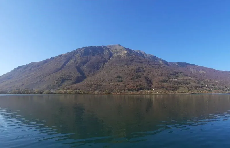
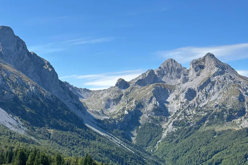
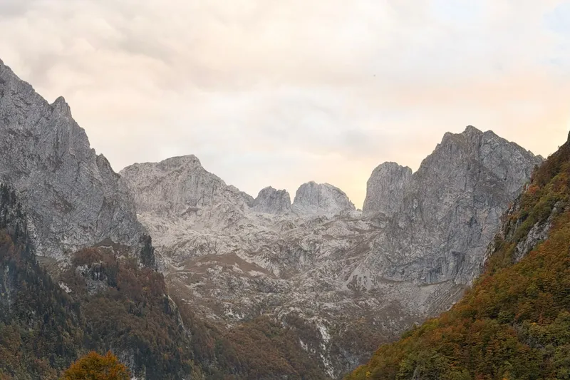
Zeletin is a 2,125 m mountain in the official survey table, listed by the Andrijevica tourist board among the peaks of its area under the name Drekina kosa, 2,112 m. Whether the mountain also extends into the Plav municipality was not confirmed by an official source. It has no protected status.
Hikes
No route to the summit is documented officially. The Andrijevica area has over 100 km of marked trails and is crossed by the CT-1 transversal. Trail rules are on the hiking page; the emergency number 112 covers mountain rescue.
Nearby
Komovi, with its routes from the Štavna plateau, also lies in the Andrijevica municipality; Prokletije is the high range above Plav and Gusinje.
Questions
How high is Zeletin?
2,125 m in the official survey table; the Andrijevica tourist board gives 2,112 m for the peak Drekina kosa.