Komovi
Three rock summits above the Štavna plateau: Kučki kom 2,487 m, Ljevorečki kom and Vasojevićki kom, a nature park shared by Andrijevica, Kolašin and Podgorica.
2,487 m · Northern Region
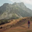
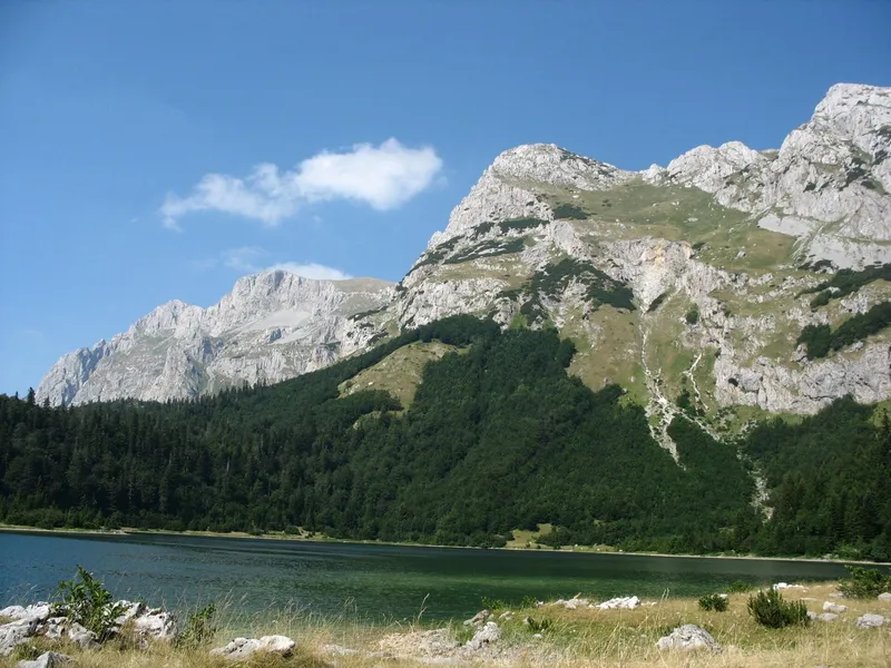
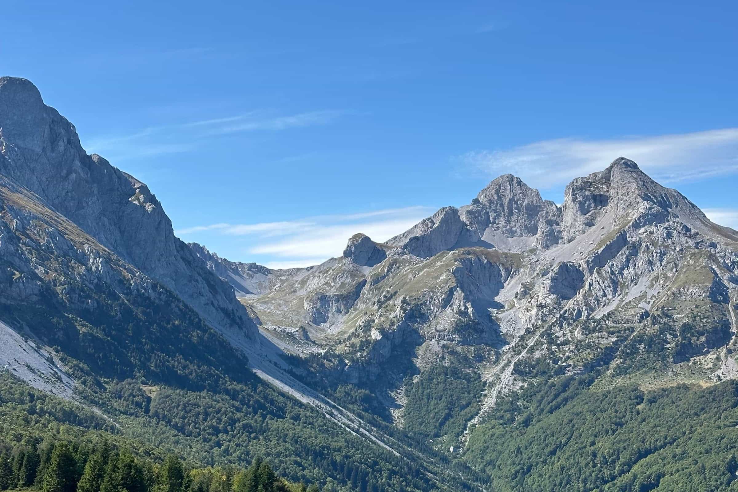
Komovi is a compact massif of three rock summits between the Tara and the Lim, with Prokletije to the south and Bjelasica to the north. The highest, Kučki kom, is 2,487 m. The massif is a nature park (park prirode) shared by the municipalities of Andrijevica, Kolašin and Podgorica, and every marked route starts on the Štavna plateau at 1,764 m: the easiest summit, Vasojevićki kom, is about 2 hours from there, the other two about 3 hours each, and the loop around all three takes a full day.

Key facts
| Highest peak | Kučki kom, 2,487 m |
| Other summits | Ljevorečki kom 2,469 m, Vasojevićki kom 2,460 m |
| Trailhead | Štavna plateau, 1,764 m; the Štavna eco-katun has beds |
| Protection | nature park of 68 km² in Andrijevica, Kolašin and Podgorica municipalities |
| Season | June to the end of October; summer and autumn for the summits |
| Base towns | Kolašin, Andrijevica |
| Emergency | 112, which covers mountain rescue |

Peaks
- Kučki kom, 2,487 m: the highest, with a rock step and a narrow ridge before the summit
- Ljevorečki kom, 2,469 m: the second summit, also graded hard
- Vasojevićki kom, 2,460 m: the easiest of the three and the best viewpoint for a first visit
- Kukino brdo, 1,964 m
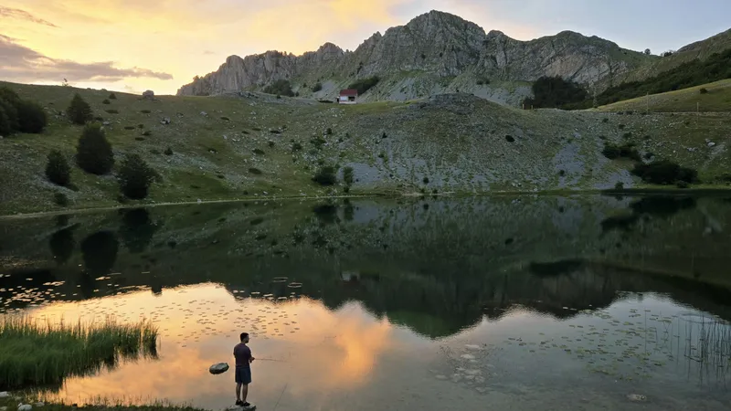
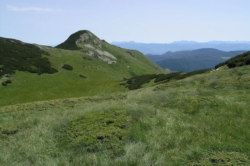
The three Koms frame the glacial valley of Međukomlje, and the pass between them, Prevoj od Koma, is at 2,171 m. The massif is about 40 km long over a plateau averaging 1,900 m; the nature park covers 68 km² and takes in the plateaus Štavna, Ljuban, Rogam, Turjak and Carine, summer pastures with katuns that the gravel roads reach.

Hikes from Štavna
All four marked routes start at Štavna (1,764 m). Routes are graded Teška I (hard, good fitness needed) or III (medium).
| Route | Length | Ascent | Time | Grade |
|---|---|---|---|---|
| Kučki kom | 7 km | 723 m | about 3 h up | Teška I |
| Ljevorečki kom | 6.8 km | 705 m | about 3 h | Teška I |
| Vasojevićki kom | 4.3 km | 696 m | about 2 h | III |
| Komovi loop, no summit | 18.8 km | about 750 m | about 6 h 30 min | Teška I |

Kučki kom
The first 1.8 km follow a gravel road shared with the Vasojevićki kom route, to wooden rest shelters at the foot of that peak. About 4 km then lead through the Međukomlje cirque to the Prevoj od Koma pass at 2,171 m, past the Jankova voda spring and across the largest scree field on Komovi, about 350 m wide, below Vasojevićki kom. The finish is the serious part: a rock step of 3-4 m with few holds, then a summit ridge 50-60 m long and 1-1.5 m wide with loose stone and drops on both sides. The danger rises in bad weather and sudden strong wind, so a settled forecast matters more here than on most Montenegrin peaks. There is a summit box with a logbook, and an alternative approach from the south-west, from the Carine katun.
Vasojevićki kom
The easiest summit, with a box and logbook on top, and the view is the reward: the rest of Komovi, Prokletije, Bjelasica, Sinjajevina, the Moračke planine and the Štavna and Ljuban katuns below. On a clear day the view from the Koms reaches Maja Jezerce, 24 km away, Hajla at 40 km and Bobotov kuk on Durmitor at 72 km.

The loop and longer routes
The Komovi loop circles the three peaks in three legs: Štavna katun to Ljuban, 5.2 km; Ljuban to Carine katun, 5.5 km; and Carine katun to Štavna, 8.1 km. It can be walked either way round, passes the Martinović eco-katun at 1,702 m, tops out on the pass over the Ljuban plateau and has water on the way; it can also be joined from the Ljuban, Rogama, Pričelje and Carine katuns, each reached by gravel road. The Via Dinarica White Trail crosses the massif on stages 41 (Biogradska gora via Bjelasica to Komovi, 41.3 km) and 42 (Komovi to Vermosh, 32.5 km). From the Trešnjevik pass, the trail to the Vranjak katun links Komovi and Bjelasica: 15.7 km, 597 m of ascent, about 4 hours, medium grade. Andrijevica municipality has over 100 km of marked trails, crossed by the CT-1 transversal. Trail rules are on the hiking page.
Nature
The nature park protects the high-mountain zone and the Mojanska rijeka under the second degree of protection, the rest under the third. Three plants grow only here or in a few nearby places: Androsace komovensis, Arenaria halacsyi and Gentianella pevalekii. The Andrijevica part of the park, 24.6 km², was proclaimed on 21 August 2015.

Getting there and season
Štavna is the trailhead for every route. Kolašin is 58.0 km and about 59 minutes by car from Podgorica, free-flow driving time; Andrijevica is the base on the eastern side. Between the two towns, the Trešnjevik pass (1,573 m) on the Mateševo-Andrijevica road separates Komovi from Bjelasica: from Andrijevica it is 18.3 km, the last 8 km in eight hairpins, and from the pass a detour of a few kilometres leads to the foot of Komovi. The katuns themselves are reached by gravel roads. The season for the massif is June to the end of October, and the summit routes are best in summer and autumn. Skiing and snowshoeing are possible in winter, but there is no ski centre. The emergency number 112 covers mountain rescue.

Nearby
Bjelasica and Biogradska gora National Park lie to the north across Trešnjevik, with Lisa between the two massifs. Prokletije and Plav are to the south. The southern part of the nature park belongs to the Capital City Podgorica.
Questions
Which Kom is the easiest?
Vasojevićki kom: 4.3 km and about 2 hours from Štavna, graded III (medium). Kučki and Ljevorečki kom are graded Teška I, with exposed rock near the top.
How high is Komovi?
Kučki kom, the highest point, is 2,487 m; Ljevorečki kom is 2,469 m and Vasojevićki kom 2,460 m.
Is Komovi a national park?
No. It is a nature park (park prirode), a lower protection category, spread over three municipalities.
On these trips
Sources
MONSTAT, Statistical Yearbook 2025, table 1-8 Mountain peaks over 1800 m · Tourist Organisation Kolašin, Mount Komovi · TO Kolašin, trail Kučki kom · TO Kolašin, trail Ljevorečki kom · TO Kolašin, trail Vasojevićki kom · TO Kolašin, circular trail around Komovi · TO Kolašin, trail Trešnjevik-Vranjak · Parks Dinarides, Park prirode Komovi · Tourist Organisation Andrijevica, Komovi · Tourist Organisation Andrijevica, Planinarenje · Tourist Organisation Andrijevica, bike route AN03 Trešnjevik-Rudo brdo · National Tourism Organisation, Hiking and trekking · National Tourism Organisation, Crown of Montenegro panoramic route (PDF) · Via Dinarica trail portal, White Trail stage list · Routes computed with OSRM on OpenStreetMap data (ODbL) · EKIP, 112 emergency number press release, Feb 2023