Prokletije
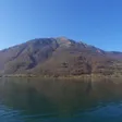
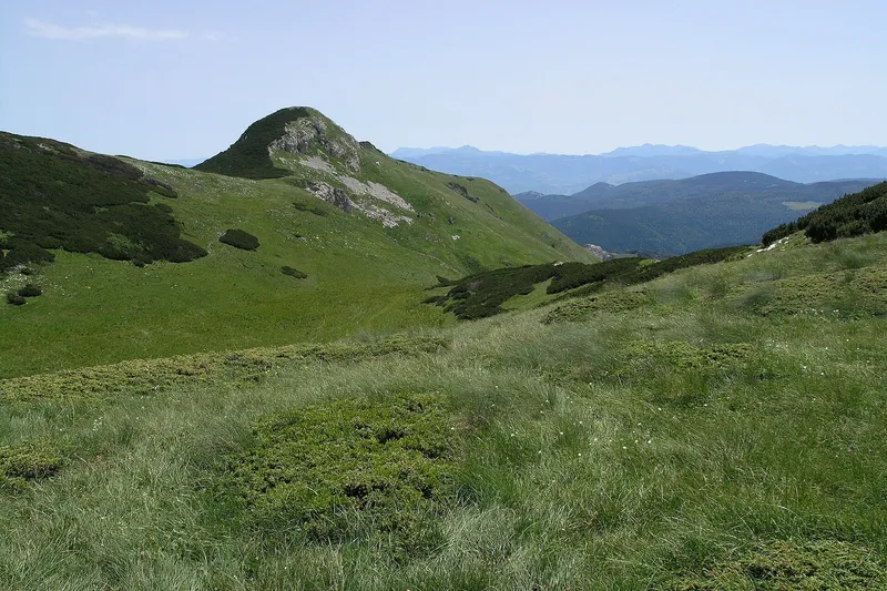
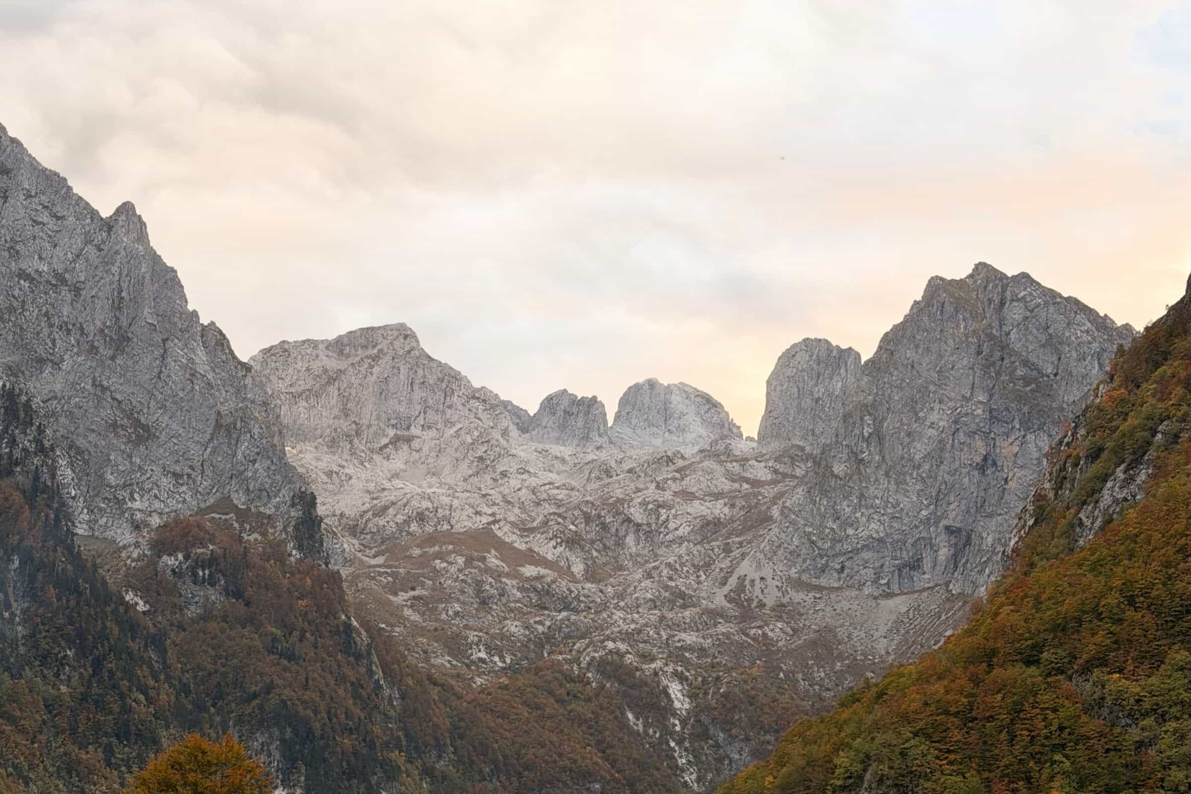
The southern end of the Dinaric Alps on the Albanian and Kosovo borders, with Zla kolata (2,534 m), Montenegro's highest peak, and the Grebaje valley.
2,534 m · Northern Region
Prokletije is the mountain range at the southern end of the Dinaric Alps, on Montenegro's border with Albania and Kosovo, in the municipalities of Plav and Gusinje. Its highest point in Montenegro, Zla kolata at 2,534 m, is named by the national tourism organisation as the highest peak in the country. The Montenegrin side has been Prokletije National Park since 2009; that page covers fees and park rules, this one the mountains and routes.

Peaks
The park authority describes the Bjelič massif above the Ropojana valley as having three summits close together:

- Zla kolata, 2,534 m (the NTO hiking page prints 2,536 m)
- Dobra kolata, 2,528 m
- Rosni vrh, 2,525 m
The official MONSTAT table of peaks over 1,800 m lists Prokletije differently: Maja Rozit at 2,522 m and Mali Sapit at 2,148 m, and omits Zla kolata. Above the Grebaje valley rise the rock faces of the Karanfili group, with marked trails to Volušnica (1,879 m), Popadija (2,056 m) and Talijanka (2,057 m). The NTO counts more than 20 summits above 2,500 m on its park page, but 77 peaks above 2,000 m and three above 2,500 m in the Plav and Gusinje area on its hiking page; the lower count matches the three Bjelič summits.

Hikes
The Grebaje valley, at about 1,100 m near Gusinje, is the main start for hiking and climbing. Figures below are from the park authority.
- Volušnica and Popadija loop from the Karanfil hut: 10.2 km, moderately hard, about 5 h 30. The route climbs past point 1402 and the Karaula turn (1,570 m) to the Volušnica katun, the prehistoric carved slab known as Magna Mater and a waterfall, then over Popadija and Talijanka before descending by Volušnica (Maja e Can) back to the hut.
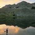
- Hridsko jezero from Babino polje: 3.1 km, easy, about 1 h. A longer loop continues from the lake over Bjelaja, Tromeđa and Ćafa Bogićes back to Babino polje.
- Easy walks: the Grebaje valley floor, the shore of Plavsko jezero, and Ropojansko jezero, about 12 km from Gusinje.

Two long-distance routes cross the range: the Peaks of the Balkans trail, a demanding circuit through Montenegro, Albania and Kosovo, and the Via Dinarica. No official lengths exist for the summit routes to Zla kolata; the park hires guides at €40 for 4 h or €80 for 8 h. General rules for marked trails are on the hiking page.
Lakes and valleys
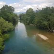
Three valleys lead into the range from the Montenegrin side: Grebaje and Ropojana near Gusinje, and the Babino polje area near Plav towards Hridsko jezero. Plavsko jezero lies at the foot of the range by the town of Plav; Visitorsko jezero lies on the neighbouring mountain Visitor.

Getting there and season
Plav is the usual start for tours and Gusinje for the Grebaje valley. Park entry costs €3 per person per day. The hiking season runs from June to the end of October, and snow is possible even in summer; the NTO recommends licensed guides for anyone without high-mountain experience. There is no ski centre in the park. The emergency number 112 covers mountain rescue.

Nearby
Komovi lies to the north, with Prokletije on its southern side, and Visitor rises directly above Plav. Beyond Komovi are the Bjelasica massif and Kolašin.
Questions
What is the highest peak in Montenegro?
Zla kolata, 2,534 m, on the border with Albania, according to the national park and the national tourism organisation. The official survey table does not list it and gives Maja Rozit (2,522 m) as the highest Prokletije entry; Bobotov kuk on Durmitor is 2,522 m in the same table.
Can beginners hike in Prokletije?
Yes, on the valley walks: Hridsko jezero (3.1 km, easy), the Grebaje valley and the lakeside at Plav. Summit routes are long, exposed and, for Zla kolata, without official trail data, so a guide is advised.
Is Prokletije a national park?
The Montenegrin part has been a national park since 2009, covering 16,638 ha.
On these trips
Sources
MONSTAT, Statistical Yearbook 2025, table 1-8 Mountain peaks over 1800 m · National Parks of Montenegro, Prokletije active holidays · National Parks of Montenegro, Prokletije price list · National Tourism Organisation, Prokletije National Park · National Tourism Organisation, Hiking and trekking · Tourist Organisation Gusinje, Tourist offer · Municipality of Plav, About Plav · EKIP, 112 emergency number press release, Feb 2023