Zelenika hill
A 293 m hill west of Podgorica reached in 1.5 to 2 hours from Komanski most, with a wide view over the city and the Morača valley.
293 m
Photo: ines lukic · CC BY 3.0
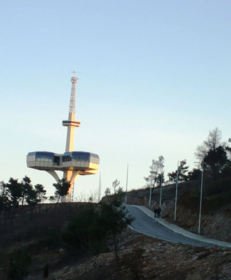
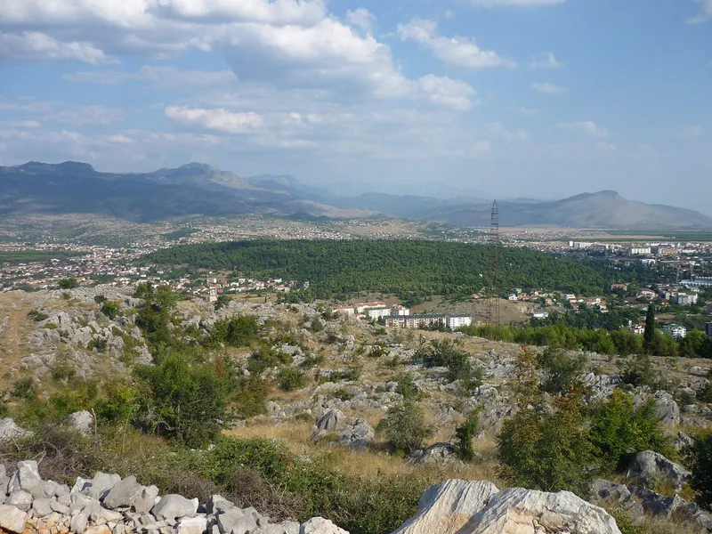
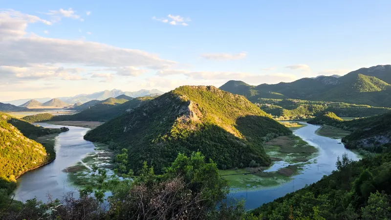
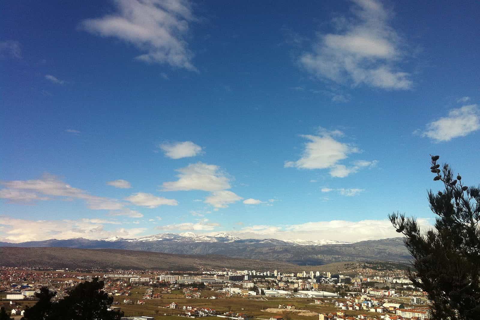
Zelenika is a hill west of Podgorica above Mareza and Lješkopolje, 293 m at the summit. The hike from Komanski most climbs about 260 m in 1.5 to 2 hours of easy walking, to a wide view over Podgorica, the Morača valley, the surrounding hills and the distant ranges. It is a proper walk, far longer than the half-kilometre trail on Dajbabska gora.
What you see
Podgorica on the plain to the east, the valley of the Morača, the hills around the city and the mountain ranges beyond.
The hike
| Start | Komanski most (Komani bridge), 30 m |
| Top | 293 m |
| Climb | About 260 m |
| Time | 1.5 to 2 h |
| Grade | Easy to moderate |
| Ground | Dirt and rock; a gradual climb with a short steeper section below the top |
Wear hiking shoes or trainers with a deep tread, layered clothing and a windproof jacket, and carry at least 1 litre of water. Take a map or GPS track if you go without a guide, and allow up to 2 hours for the climb plus the return.
GPS
The summit is at 42.44925, 19.19256; the map marker is approximate.
Not to be confused with
The Zelenika suburb below Dajbabska gora in the south of Podgorica, and Zelenika on the Bay of Kotor near Herceg Novi.
Nearby
Gorica is the hill in the city centre with trails and an adventure park; Dajbabska gora, 172 m, has a 0.5 km trail. Further east, Grlo sokolovo in Kuči looks into the Cijevna canyon.
Questions
How hard is it? Easy to moderate: about 260 m of climb over 1.5 to 2 hours, with one short steeper section below the top.
What should I bring? Hiking shoes, layers, a windproof jacket and at least 1 litre of water.
Where do I start? At Komanski most, the Komani bridge, at 30 m above sea level west of the city.