Morača
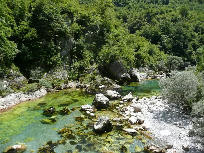
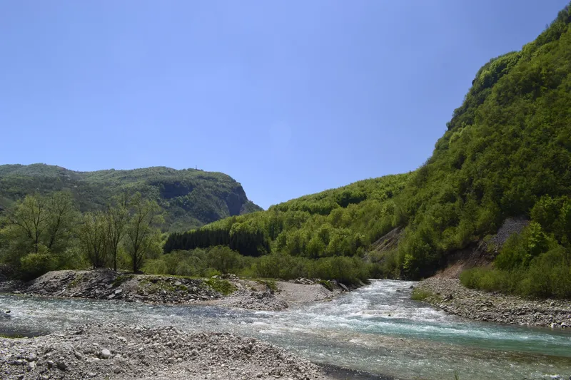
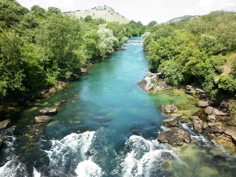
The river of Podgorica: 100.67 km from the mountains above Kolašin, through a canyon up to 1,000 m deep, past the Morača Monastery and the capital, into Lake Skadar.
100.67 km · Central Montenegro · Mountain river with canyon, lowland in its last stretch
Photo: Herbert Frank · CC BY 2.0
- In Montenegro
- 100.67 km
- Canyon depth
- 1,000 m
- Canyon length
- 30 km
- Basin
- 3,257 km²
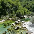
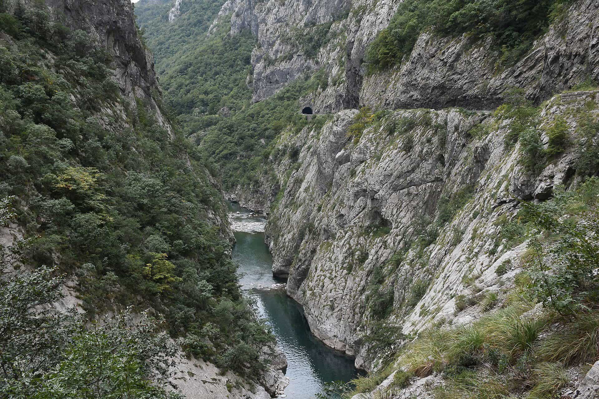
The Morača is the river of central Montenegro and of Podgorica. It rises at 945 m below Mount Rzača in Kolašin municipality, runs 100.67 km entirely inside the country (MONSTAT: 99.5 km) and ends at 4.5 m in Lake Skadar, from which the Bojana carries its water to the Adriatic. In its middle course it cuts a canyon about 30 km long and up to 1,000 m deep, and the main road from the capital to the north runs through it, past the Morača Monastery of 1252. In Podgorica it is the city's river, with a fly-fishing zone between two bridges that is open all year.
Course
The catchment is 3,257 km². From the source below Rzača, in the Moračke planine, the river falls more than 900 m, which makes it steep for its 100 km. Its two main tributaries in the upper course are the Mala Rijeka and the Mrtvica, which comes out of its own canyon at Međuriječje. Below the canyon the valley opens, and 3 to 4 km above the centre of Podgorica the Zeta comes in under the walls of the Roman town of Duklja (Doclea). In the city the Morača receives the Ribnica, and below the city the Cijevna. The last stretch is a lowland river that enters Lake Skadar inside Skadar Lake National Park.

The canyon
The canyon fills the middle course for about 30 km and is up to 1,000 m deep, deepest around Tisov vrh, in the municipalities of Kolašin and Podgorica. The main road between Podgorica and the north runs through it, so most people see the Morača from a car or bus window; closures and restrictions are on the road conditions page. The Bar-Belgrade railway, climbing from Podgorica to Kolašin, crosses the Mala Rijeka, the Morača's tributary, about 20 km north of the city on a viaduct 498.8 m long and 198 m above the stream.

Morača Monastery
The Morača Monastery stands on the river bank 25 km from Kolašin towards Podgorica, and 45.8 km, about an hour's drive, from Podgorica. Stefan Vukanović Nemanjić founded it in 1252; it has two churches, the Dormition of the Virgin and the smaller St Nicholas, and a konak, and its 13th-century fresco of the raven feeding the Prophet Elijah is the oldest and best known in the complex.
The Morača in Podgorica
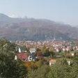
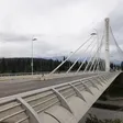
The river crosses the capital, with the Millennium Bridge as its landmark crossing. The Ribnica meets it at Sastavci, in the centre, where the old Ribnica bridge stands below the Ottoman Ribnica fortress; the Vysotsky monument is on the bank between the Moscow Bridge and the Millennium Bridge, and Gorica hill looks over the right bank and the Millennium Bridge. The city's fly-fishing zone runs from the Millennium Bridge to the Union bridge and is catch-and-release all year. No bathing place is designated on the Morača, in the city or in the canyon, so any swimming is wild swimming at your own risk.

Fishing
The Podgorica zone, from the Millennium Bridge to the Union bridge, holds Adriatic trout, marble trout, the Salmo dentex trout, grayling and cyprinids and is fished catch-and-release the whole year, with a daily permit from the local club. On the Kolašin stretch only artificial lures, spinners and flies, are allowed. Under the national order of 2026 (Sl. list CG 75/2026, in force 11 June 2026) trout in Podgorica and Danilovgrad waters are closed from 1 November to 1 April; in Kolašin waters all trout from 1 November to 15 March and grayling from 1 March to 1 June; marble trout, huchen and pike are closed in all waters until 1 April 2029 and must be returned alive; and sport fishing at night is banned everywhere (spring 20:00-05:00, summer 21:00-04:00, autumn 19:00-06:00, winter 17:00-06:00). Zones and guides are on the fly-fishing page.
Kayaking
Rafting in Montenegro is on the Tara; on the Morača the paddle sport is kayaking. Trips run in the Morača canyon at Bioče, about 15 km from the city centre, and the Morača and the Cijevna count as the calmer rivers near the capital against the whitewater of the Tara. The offer is on the kayaking page.
The spring
The Morača spring is a stop on a marked loop in the Moračke planine: from the school at Ljevišta (922 m) past the Gojkova sika waterfall and the spring to the Vragodo katun, Šuplja greda, Rupočajska glava and Šljeme and back by Bljušturni do, 16.4 km with 1,466 m of climbing, graded hard, about 5 hours, with water at several springs. The start is reached from the Mioska-Semolj-Boan-Šavnik road, turning off at Dragovića Polje after 12.1 km.
Getting there
- Podgorica: the river runs through the centre; the Millennium Bridge is the landmark crossing, and Sastavci, the Ribnica confluence, is below Stara Varoš.
- The canyon: on the main road north from Podgorica towards Kolašin; the monastery is 25 km before Kolašin and 45.8 km from Podgorica.
- Kolašin: the base for the upper river, the Mrtvica canyon and the Moračke planine.
Questions
Can you swim in the Morača in Podgorica?
No bathing place is designated on the river, so any swimming is wild swimming at your own risk.
Is the canyon road open in winter?
It is the main road to the north; closures and restrictions are listed on the road conditions page, so check it on the day.
How long is the Morača?
100.67 km in the Water Register, 99.5 km in MONSTAT's yearbook.
Where does the Morača end?
In Lake Skadar, from which the Bojana carries the water to the Adriatic.
How far is the Morača Monastery from Podgorica?
45.8 km by road, about an hour's drive; from Kolašin it is 25 km.
Route
- 1
Source below Rzača
The Morača rises below Mount Rzača in Kolašin municipality, at 945 m.
- 2
Morača Monastery
Founded in 1252, on the river bank about 25 km from Kolašin.
- 3
Mrtvica confluence
The Mrtvica joins from its own canyon.
- 4
Podgorica
The river crosses the capital and receives the Ribnica, then the Zeta and Cijevna below the city.
Activities
- FishingPodgorica city zone catch-and-release all year (NTO); closed seasons apply elsewhere · permit required
Things to do
Morača Monastery
Monastery from 1252 on the river bank, 25 km from Kolašin and 45.8 km from Podgorica.
Drive through the canyon
The main road north from Podgorica follows the canyon, up to 1,000 m deep.
Fly fishing in Podgorica
Catch-and-release zone between the Millennium Bridge and the Union bridge, open all year.
Kayaking at Bioče
Kayak trips in the lower canyon at Bioče, about 15 km from the city centre.
Mrtvica canyon walk
The tributary's canyon, about 10 km long, has a marked footpath from Međuriječje.
Fish species
- Adriatic trout
- Marble trout
- Salmo dentex (tooth trout)
- Grayling
- Cyprinids
Bridges
- Millennium Bridge (Podgorica)
- Mala Rijeka railway viaduct (on the tributary, 198 m high)
On these trips
- Kolašin in 3 days: Biogradska gora, BjelasicaSummer · Day 3 · Morača monastery, the Platije canyon and the Mrtvica trail
- Kolašin in 3 days: Biogradska gora, BjelasicaWinter · Day 3 · Morača monastery and the Platije canyon road
- 7 days in Montenegro: coast to Durmitor loopDay 7 · Tara canyon road, Morača monastery, Podgorica
- Day trips from Podgorica by car or trainTrip 5 · Morača monastery, the Platije canyon and Mrtvica
Sources
Water Administration of Montenegro, Registar voda od značaja za Crnu Goru, 2nd ed. (July 2024), entry Morača (p. 8) · MONSTAT, Statistical Yearbook 2025, table 1-9 Major rivers · Tourist Organisation of Kolašin, Canyons · Tourist Organisation of Kolašin, Churches and monasteries · Tourist Organisation of Kolašin, Ribolov (artificial lures on the Morača) · Tourist Organisation of Kolašin, Ljevišta circular trail (Morača spring) · National Tourism Organisation of Montenegro, Fly fishing · National Tourism Organisation of Montenegro, Kayaking · National Tourism Organisation of Montenegro, Canyoning (road through the Morača canyon) · Tourist Organisation of Podgorica, Kayak Morača (Amnia, Bioče) · Tourist Organisation of Podgorica, Sastavci i most na Sastavcima · Tourist Organisation of Podgorica, Gorica Hill and Adventure Park · Tourist Organisation of Podgorica, Spomenik Vladimiru Visockom · Ministarstvo poljoprivrede, šumarstva i vodoprivrede, Naredba o ribolovnim zabranima, lovostaju i minimalnim veličinama riba (Sl. list CG 75/2026), Art. 2-3 · European Route of Industrial Heritage, Mala Rijeka Viaduct · Iković, B., Dolina rijeke Zete (Bjelopavlićka ravnica) i antička Duklja, Istorijski zapisi 2014 · Routes computed with OSRM on OpenStreetMap data (ODbL) · Wikipedia, Morača (secondary, pointer only) · Wikipedia, Ribnica (fortress) (secondary, pointer only) · Wikipedia, Adži-paša's bridge (secondary, pointer only)