Slano jezero (Slano Lake)
The larger of the two permanent Perućica reservoirs, south-west of Nikšić: 7.758 km², up to 18 m deep, with 46 km of island-studded shore, the limestone island Viža in the middle, up to 20,000 migratory birds at peak times, a via ferrata, kayaking and fishing permits.
Nikšić
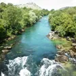
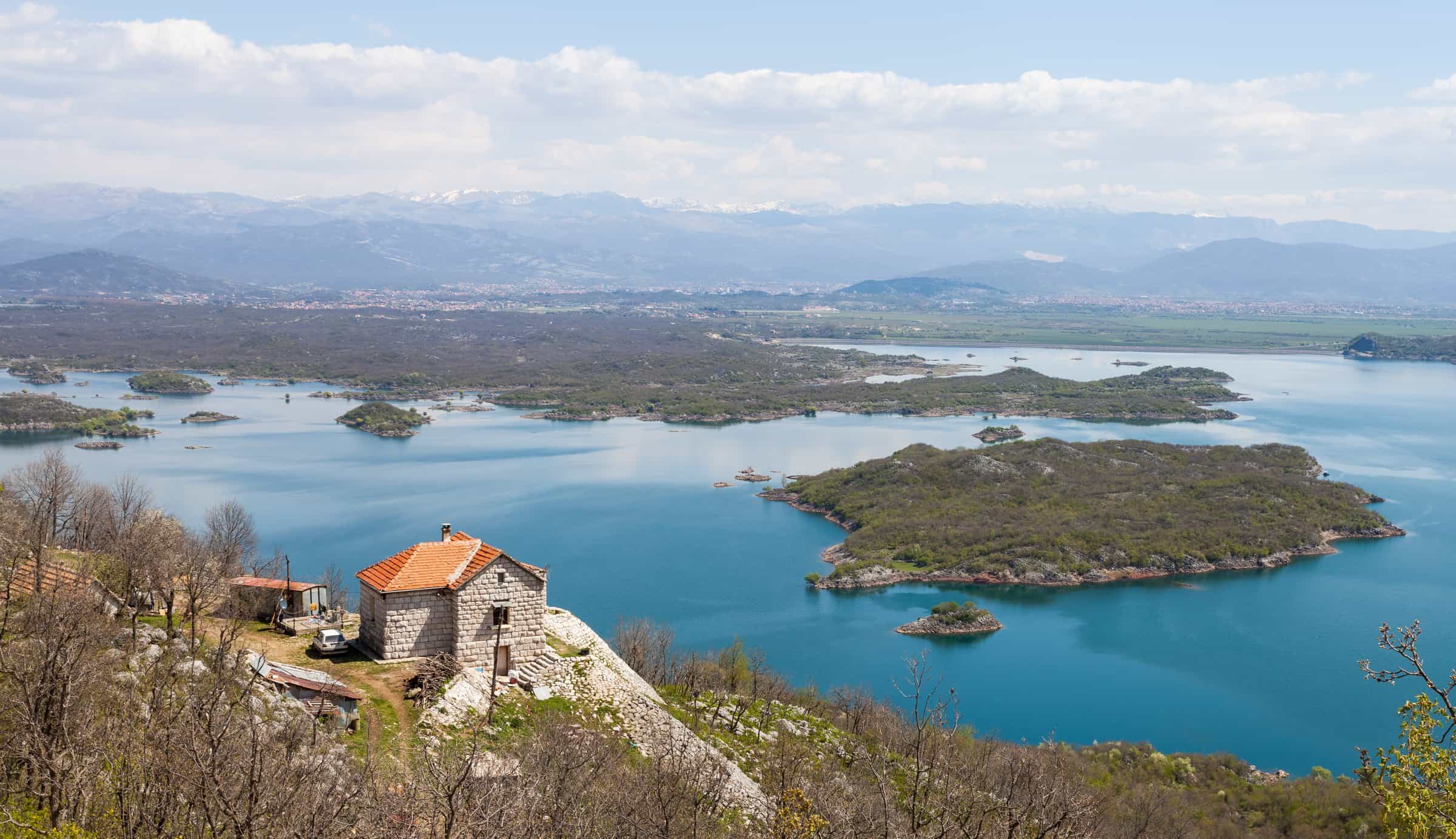
Photo: Diego Delso · CC BY-SA 3.0
- Surface
- 7.758 km²
- Max depth
- 18 m
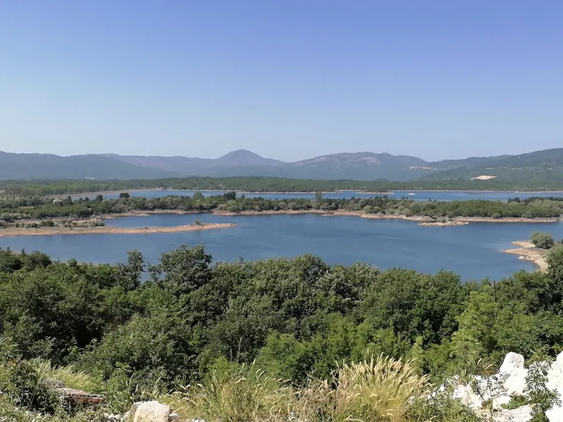
Slano jezero (Slano Lake) is the larger of the two permanent reservoirs on the Nikšić field, 12 km by road south-west of Nikšić. It was built for the Perućica hydro scheme, like Lake Krupac, but it does not look like a basin: the shore is cut into bays, peninsulas and islands, the limestone island Viža sits in the middle and the water is clear. It is the most important stop for migratory birds in the municipality, with up to 20,000 birds at times, and a via ferrata has been built at the lake.
The lake in figures
| Type | Reservoir of the Perućica hydro scheme |
| Elevation | 621 m |
| Area | 7.758 km² |
| Shoreline | 46 km, islands included |
| Maximum depth | 18 m |
| Volume | 111.2 million m³ |
| Dam | Includes a 1.65 km spillway with a local asphalt road across it |
| Link to the scheme | The Slano (Opačica) canal through the Vrtac retention to the Zeta I canal, 4.3 km |
| Settlements | Kuside and Bubrežak, Nikšić municipality |
Shore and islands
The lake lies in the south-west of the Nikšić field. Its 46 km of shoreline is far more than its area would suggest: the shore is deeply indented, with many islands and peninsulas, and the limestone island Viža stands in the middle of the lake. The M7 road runs along the west side.

Birds
Slano is the most important site for migratory birds in Nikšić municipality. At peak times up to 20,000 birds gather on the water; the municipality as a whole has more than 170 recorded species. Bring binoculars.
Via ferrata, kayak and fishing
A via ferrata was built at Slano as part of a plan to turn the lake into an adventure centre; the via ferrata hub lists the other routes in the country. Licensed instructors in Nikšić run kayak, stand-up paddleboard and packraft outings on the six lakes of the municipality and on the Zeta (see kayaking). The angling club SRK Nikšić sells day, month and season permits for the municipality's waters; the fishing hub has the national rules.

How the lake works
Slano is one of three artificial basins that collect water on the Nikšić field for the Perućica power plant, with Krupac and the Vrtac retention. From Slano the water runs through the Slano canal, also called the Opačica canal, across Vrtac and into the Zeta I canal, a link of 4.3 km. The dam includes a spillway 1.65 km long with a local asphalt road on top of it.
Getting there
The lake is 12 km (about 20 minutes) from the centre of Nikšić and 54.5 km (about 1 h 15) from Podgorica by car. The M7 follows the west shore; a local road crosses the spillway.

Nearby
- Lake Krupac, the sister reservoir with the town's sandy beach.
- Nikšić, the second largest town in Montenegro.
- The Zeta, the river of the Nikšić field.
- Kapetanovo jezero, the glacial lake on Lukavica at the eastern edge of the municipality.
- Other lakes on the lakes hub.
Questions
Is Slano jezero natural?
No. It is a reservoir of the Perućica hydro scheme, with a dam and a 1.65 km spillway.
How deep is Slano jezero?
Up to 18 m, with a volume of 111.2 million m³.
Activities
- Birdwatching
- Kayaking
- Fishing
Things to do
Birdwatching
Up to 20,000 birds at peak times; more than 170 species recorded in the municipality.
Via ferrata
Built at Slano as part of the lake's adventure-centre plan.
Kayak, SUP, packraft
Licensed instructors run kayak, SUP and packraft outings on the Nikšić lakes.
Fishing
Day, month and season permits from the angling club SRK Nikšić.
Sources
Government of Montenegro: Registar voda od značaja za Crnu Goru (2024), entry Slano jezero (p. 85) and Vrtac (p. 86), read 2026-11-02 · MONSTAT: Statistical Yearbook 2025, table 1-7 reservoirs (elevation), read 2026-11-02 · TO Nikšić: Lakes, Kayaking, Via Ferrata and Flora and fauna sections (Slano shore and islands, Viža, bird numbers, via ferrata, SRK Nikšić permits), read 2026-11-02 · Routes computed with OSRM on OpenStreetMap data (ODbL)