Zeta
The river of Nikšić and Danilovgrad: 73 km in two parts, an upper stream that sinks at the edge of Nikšić field and a lower river that springs back out at Glava Zete and crosses the Bjelopavlići plain to the Morača.
73.31 km · Central Montenegro · Karst river, partly underground, then a plain river
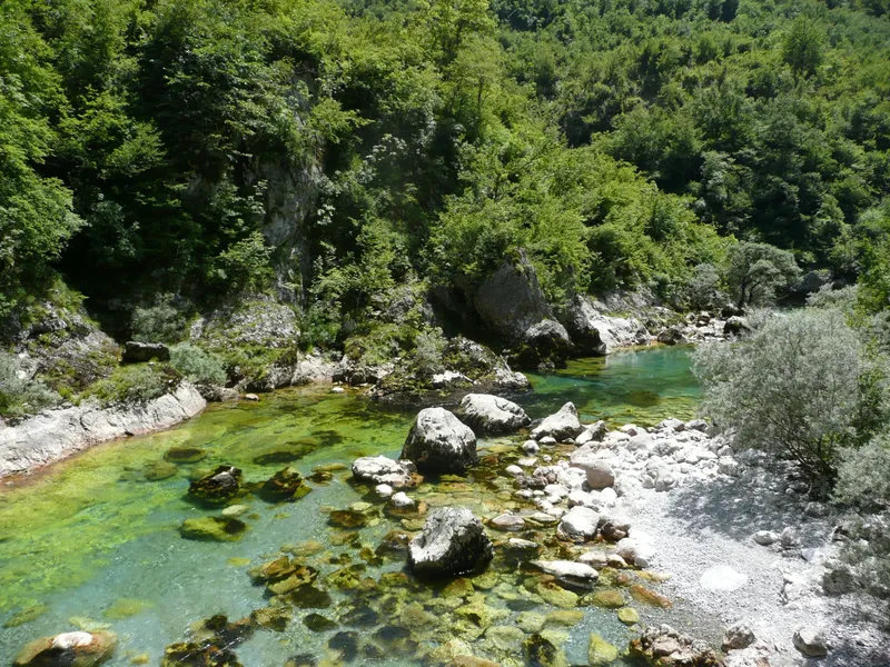
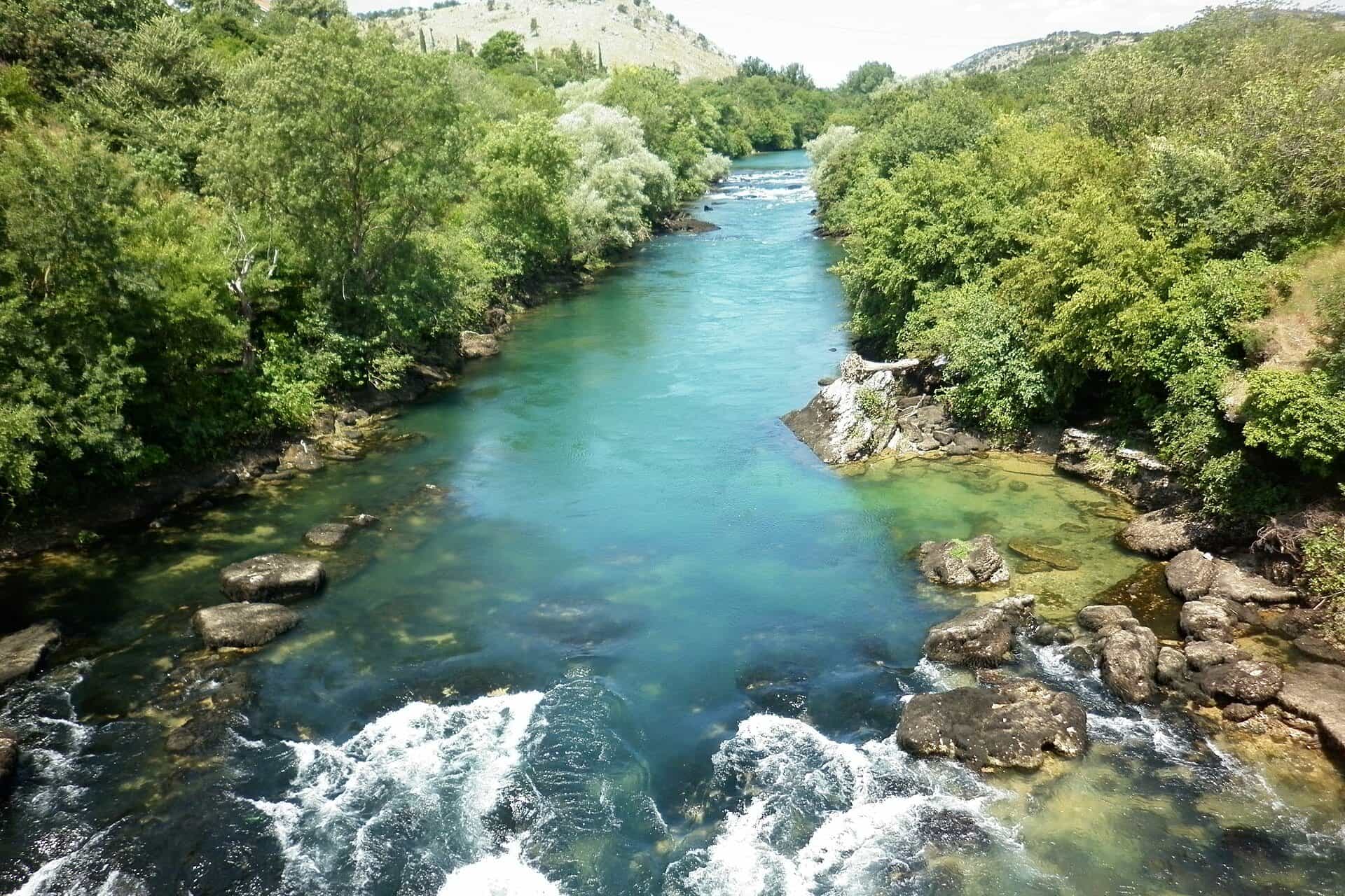
Photo: Andrija12345678 · CC BY-SA 4.0
- In Montenegro
- 73.31 km
- Basin
- 1,597 km²
The Zeta is the river of Nikšić and Danilovgrad and a tributary of the Morača, which it joins below the walls of the Roman town of Duklja on the edge of Podgorica. It is 73.31 km long in two parts, 21.74 km of upper Zeta and 51.57 km of lower Zeta (MONSTAT: 65 km), with a catchment of 1,597 km², all in Montenegro and all draining to Lake Skadar and the Adriatic. What makes it unusual is the gap in the middle: the upper river sinks at the southern edge of Nikšić field and comes back out of the ground about 3 km further on, at Glava Zete.
Course
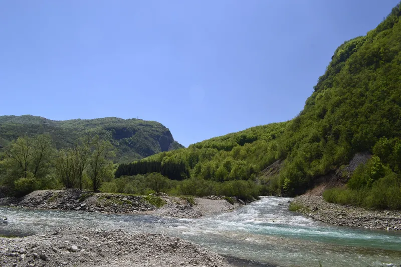
The upper Zeta forms in the north of Nikšić field (Nikšićko polje) and sinks at the field's southern edge, in the Slivlje sinkholes. After about 3 km underground it re-emerges below the Planinica pass at Glava Zete, near Perućica, at 74 m above sea level; the 75 m given as the river's source altitude refers to this lower spring, not to Nikšić field. From Glava Zete the lower Zeta winds through the Bjelopavlići plain to the Morača, which it joins at 27.5 m. Along the way it takes 11 tributaries from the left and 8 from the right, and its level can differ by as much as 12 m between low and high water.

Nikšić field
Nikšić field is karst, which is why the river disappears. Three reservoirs lie on it in the upper basin: Slano (8.9 km²), Krupac (5.2 km²) and Liverovići (0.9 km²); Slano and Krupac were created for the Perućica hydroelectric scheme in 1960. Carev most, built in 1894 at Kličevo over the Slivlje on the old Podgorica-Nikšić road, is 275 m long with 18 arches of 13.20 m, plus a small bridge of two arches, and was declared a protected cultural property in April 2026; Slivlje is where the upper Zeta goes underground.

Glava Zete and the Bjelopavlići plain
Glava Zete, the spring of the lower river, lies below the Planinica pass near Perućica, 20.7 km from Nikšić, 17.5 km from Danilovgrad and 38.5 km from Podgorica by car. Below it the Zeta crosses the Bjelopavlići plain, the valley of Danilovgrad: about 55 m above sea level on average, about 18 km long, between 2.5 and 8 km wide, with an area of about 55 km². Above the valley, in the cliff of Ostroška greda, stands Ostrog Monastery, with a view from about 900 m over the Zeta valley.
Danilovgrad
Danilovgrad is a planned town on the river: its urban plan was completed in 1869, and Prince Nikola named it after his uncle and predecessor, Prince Danilo. The bridge over the Zeta, named after Vojvoda Mirko, was begun in 1868, opened on 16 September 1870 and completed in stone in 1893, with seven arches and a length of about 150 m. The town lies on the main road between Podgorica and Nikšić, 21 km from Podgorica.
Duklja at the mouth
The Zeta meets the Morača below the walls of Duklja (Doclea), the Roman town founded in the first decade of the 1st century AD on a plateau between the Morača, the Zeta and the Širalija, 4 km from the centre of Podgorica. Grave goods from the site are in the City Museum of Podgorica, and the 4th-century "Podgorica cup" found here is in the Hermitage in St Petersburg. The name Zeta is itself old: it is first recorded as "Zenta" around 1080, in the writing of Kekaumenos, where it refers to a town.

Fishing
The river has a fish of its own, the Zeta soft-mouthed trout (Salmothymus zetensis), which the national order of 2026 (Sl. list CG 75/2026, in force 11 June 2026) closes in all waters until 1 April 2029: any caught must be returned alive. The same order closes all trout in Nikšić waters from 1 November to 15 March and grayling from 1 March to 1 June, trout in Danilovgrad and Podgorica waters from 1 November to 1 April, and bans catching crayfish on the Zeta and its tributaries. Daily permits come from the local sport-fishing clubs; zones are on the fly-fishing page.
Kayaking
A kayak trip runs on the Zeta in summer: 4 km, about two hours, run by a camp on the river, for ages 7 and up in groups of up to 10. Rafting in Montenegro is on the Tara; other rivers and lakes are on the kayaking page.
Getting there
- Nikšić: the upper river and the reservoirs on the field; Carev most is at Kličevo on the old road to Podgorica.
- Glava Zete: 20.7 km, about 28 min from Nikšić; 17.5 km, about 21 min from Danilovgrad; 38.5 km, about 52 min from Podgorica.
- Danilovgrad: 21 km, about 31 min from Podgorica; 31.5 km, about 36 min from Nikšić.
- Duklja: 4 km from the centre of Podgorica, at the confluence with the Morača.
Driving times are free-flow, without traffic.
Questions
Why does the Zeta disappear?
Nikšić field is karst. The river sinks at Slivlje, flows about 3 km underground and reappears at Glava Zete.
How long is the Zeta?
73.31 km in the Water Register (21.74 km of upper Zeta and 51.57 km of lower Zeta); MONSTAT's table gives 65 km.
Where does the Zeta flow into the Morača?
Below the walls of Duklja, 4 km from the centre of Podgorica, at 27.5 m above sea level.
Can you fish for the Zeta trout?
No. The Zeta soft-mouthed trout is closed in all waters until 1 April 2029 and must be returned alive.
Can you kayak on the Zeta?
Yes, on a summer trip of 4 km that takes about two hours, from age 7.
Route
- 1
Nikšić field
The upper Zeta forms in the north of the field and sinks at Slivlje on its southern edge.
- 2
Slano reservoir
8.9 km² reservoir on Nikšić field.
- 3
Glava Zete
The spring of the lower river, below the Planinica pass, at 74 m.
- 4
Bjelopavlići plain
About 18 km long and 55 km² at about 55 m above sea level; Danilovgrad stands here.
- 5
Confluence with the Morača
Below the walls of Duklja (Doclea), at 27.5 m.
Activities
- Kayaking
- FishingClosed seasons per the 2026 order: Nikšić all trout 1 Nov-15 Mar, grayling 1 Mar-1 Jun; Danilovgrad and Podgorica trout 1 Nov-1 Apr; Zeta soft-mouthed trout closed until 1 Apr 2029 · permit required
Things to do
Duklja (Doclea)
Roman town at the Zeta-Morača confluence, 4 km from the centre of Podgorica.
Glava Zete
The spring where the river re-emerges after its underground stretch, 17.5 km from Danilovgrad.
Kayaking
Summer trip of 4 km, about two hours, from age 7.
Carev most
Stone bridge of 1894 over the Slivlje at Kličevo, 275 m long with 18 arches.
Fish species
- Zeta soft-mouthed trout (Salmothymus zetensis)
Bridges
- Vojvoda Mirko bridge, Danilovgrad (1870, stone 1893)
- Carev most, Kličevo (1894)
Sources
Water Administration of Montenegro, Registar voda od značaja za Crnu Goru, 2nd ed. (July 2024) · MONSTAT, Statistical Yearbook 2025, tables 1-7 Accumulation lakes and 1-9 Major rivers · Iković, B., Dolina rijeke Zete (Bjelopavlićka ravnica) i antička Duklja, Istorijski zapisi 2014 · Ministarstvo poljoprivrede, šumarstva i vodoprivrede, Naredba o ribolovnim zabranima, lovostaju i minimalnim veličinama riba (Sl. list CG 75/2026), Art. 2-3 · Onogošt, report on the 2026 fishing order (6 July 2026): crayfish ban on the Zeta · Municipality of Danilovgrad, History (the town plan, the Vojvoda Mirko bridge) · Uprava za zaštitu kulturnih dobara, decision on Carev most (17 April 2026) · National Tourism Organisation of Montenegro, Cities of Montenegro (Nikšić: Slano and Krupac; Danilovgrad) · National Tourism Organisation of Montenegro, Sacral objects (Ostrog above the Zeta valley) · Tourist Organisation of Podgorica, Duklja · Tourist Organisation of Podgorica, Kayak Zeta · Routes computed with OSRM on OpenStreetMap data (ODbL); free-flow driving times · Wikipedia, Zeta (river) (secondary, pointer only)