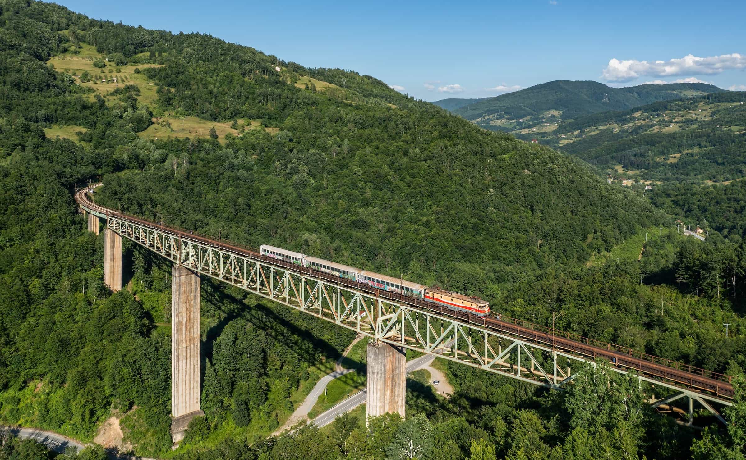
Ljuboviđa
The Lim tributary whose valley carries the Bar-Belgrade road and railway north-west of Bijelo Polje: 32 km of river, a small hydropower plant, and a trout fly-fishing zone at the Vuković ethno village.
32.41 km · North-east Montenegro · Valley river, Lim tributary
Photo: Kabelleger / David Gubler · CC BY-SA 4.0
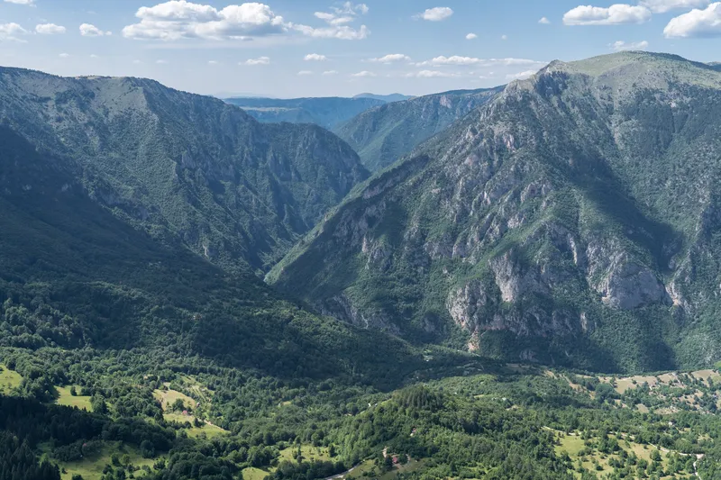
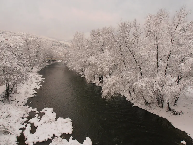
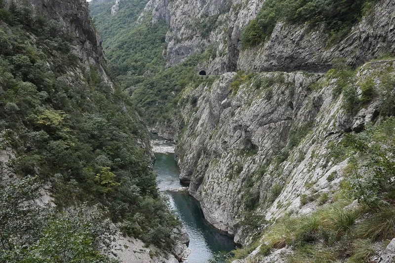
The Ljuboviđa is a left tributary of the Lim that joins it between Berane and Bijelo Polje, one of the Lim's main tributaries and 32.41 km long in the two water bodies of the national water plan. Most travellers meet it without knowing: its valley and the lower Lim valley are the two corridors by which the Bar-Belgrade road and railway cross this part of the north. For anglers it has a fly-fishing zone at the Vuković ethno village where trout are abundant.
Course
The 2021 water management plan divides the river into two natural water bodies in Bijelo Polje municipality, Ljuboviđa_1 of 25.30 km and Ljuboviđa_2 of 7.11 km, 32.41 km together. A hydrological station, Ljuboviđa-Ravna Rijeka, measures the river at Ravna Rijeka. Underground, the river shares the groundwater body Beranska Bistrica-Ljuboviđa with the Bistrica at Berane, the next large left tributary upstream.
The valley
The lower Lim valley and the Ljuboviđa valley are the two key corridors for the Bar-Belgrade road and railway: the main road and the Bar-Belgrade line follow the river. A small hydropower plant, Vrelo (0.59 MW), stands in the catchment, and the tributary Bistrica at Majstorovina is classed as heavily modified because of small hydropower plants; the Ljuboviđa itself is classed natural along its whole length.
Fishing
The fly-fishing zone runs 500 m upstream and 500 m downstream of the Vuković ethno village, and trout are abundant in it. A single hook is the rule in fly zones, flies are tied without a return hook, most zones are catch and release, and the daily zone permit comes from the sport-fishing club that manages the stock.
Closed seasons and closed waters come from the national order of 2026 (Sl. list CG 75/2026, in force 11 June 2026). In Bijelo Polje waters all trout are closed from 1 November to 15 March, grayling from 1 March to 1 June, nase from 15 April to 1 June, and carp and other cyprinids from 1 May to 15 June; huchen and pike are closed in all waters until 1 April 2029 and must be returned alive. Until 1 April 2029 the Ljuboviđa is closed from its source down to Čokrlije, and the other Lim tributaries in the municipality, except the Bistrica, are closed over their whole length. The Lim's own zone at Bijelo Polje runs from Gubavač to Gošino bridge, with grayling, trout, huchen and cyprinids. Other zones are on the fly-fishing page.

Getting there
The river joins the Lim between Berane and Bijelo Polje, and the main road and the railway follow its valley. Bijelo Polje is 106.7 km from Podgorica, about 2 h 06 min by car, or by train on the Bar-Belgrade line; Berane is 34.9 km up the Lim, about 45 minutes. Driving times are free-flow, without traffic or snow.
Questions
How long is the Ljuboviđa?
32.41 km: the 2021 water plan's two water bodies, 25.30 km and 7.11 km.
Where can you fish it?
In the zone 500 m either side of the Vuković ethno village, with a daily permit from the local club; the stretch from the source to Čokrlije is closed until 1 April 2029.
Which road follows the Ljuboviđa?
The main road and the Bar-Belgrade railway use its valley and the lower Lim valley as their corridors through this part of the north.
Activities
- FishingClosed seasons per the 2026 order for Bijelo Polje waters: all trout 1 Nov-15 Mar, grayling 1 Mar-1 Jun; source to Čokrlije closed until 1 Apr 2029 · permit required
Things to do
Fly fishing
Zone 500 m up- and downstream of the Vuković ethno village; trout abundant; daily permit from the local club.
Fish species
- Trout
Sources
Water Administration of Montenegro, Registar voda od značaja za Crnu Goru, 2nd ed. (July 2024), entry Lim · Water management plans for the Danube and Adriatic basin areas, 2021 (data.gov.me, CC BY) · Government of Montenegro, Strategija upravljanja vodama Crne Gore (June 2017) · National Tourism Organisation of Montenegro, Fly fishing · Ministarstvo poljoprivrede, šumarstva i vodoprivrede, Naredba o ribolovnim zabranima, lovostaju i minimalnim veličinama riba (Sl. list CG 75/2026), Art. 2-3 · Željeznički prevoz Crne Gore, stations (Bijelo Polje) · OSRM routing (car, OpenStreetMap data, ODbL; times without traffic): Bijelo Polje, Berane