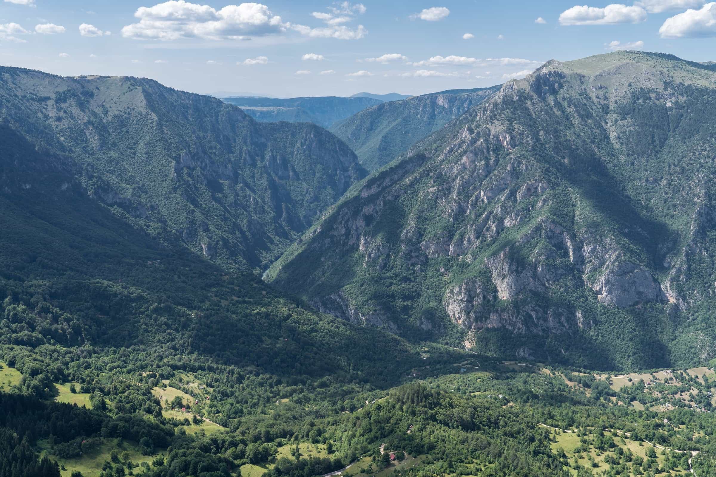
Tara
Montenegro's longest river, with Europe's deepest canyon (1,333 m) inside Durmitor National Park. Rafting April to October, huchen and trout fishing, the Đurđevića Tara bridge.
142.2 km · Northern Montenegro · Mountain river with canyon
Photo: Alexkom000 · CC BY 4.0
Đurđevića Tara bridge (M-6) in today’s road report
Due to reconstruction of the Đurđevića Tara bridge on main road M-6, Pljevlja-Žabljak section, alternating one-lane traffic is in place for all vehicle categories from 31 October 2026.
All reports on the road conditions page
Official data can change or differ. Check with the source: AMSCG
- In Montenegro
- 142.2 km
- Canyon depth
- 1,333 m
- Canyon length
- 78 km
- Basin
- 2,040 km²
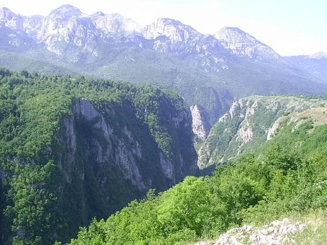
The Tara is Montenegro's longest river and the river of Europe's deepest canyon. It is 146 km long, 142 km of them in Montenegro (official counts vary between 141 and 142 km), and its middle course is a canyon 78 km long and 1,333 m deep at its deepest point, inside Durmitor National Park and its UNESCO World Heritage site. Rafting runs from April to October: one-day trips start at Splavište near Žabljak or at Brštanovica on the Plužine side, and every trip ends at Šćepan Polje, where the Tara meets the Piva and the Drina begins. The Đurđevića Tara bridge, 365 m long, crosses the canyon on the road between Žabljak, Mojkovac and Pljevlja.
Tara tours
Sponsored Tara River Rafting Full Day Trip from KotorRating 5 (2)from €350
 Full-day Tara River White Water Rafting Tour from KotorRating 4.9 (254)from €154
 Tara Montenegro Rafting Full Day TourRating 5 (6)from €113
 Tara Packrafting: Unique adventure in Europe's deepest canyonRating 4.8 (38)from €165
Tours, ratings and prices: Viator.
All tours in TaraCourse
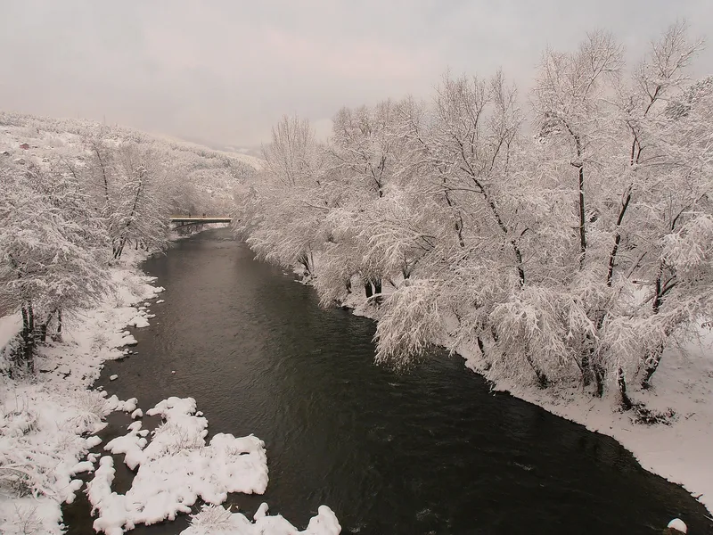
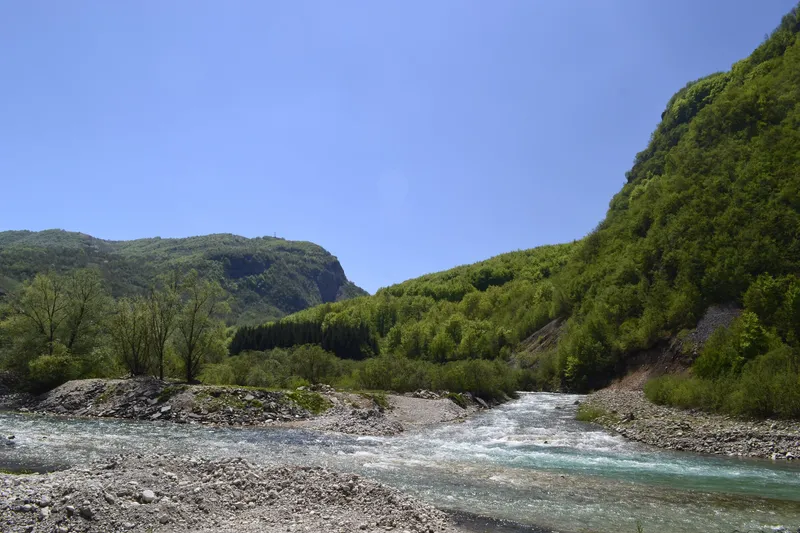
Two mountain streams, the Opasnica and the Veruša, join below the Komovi at 1,215 m to form the Tara. The catchment is 2,040 km², all of it counted in Montenegro. The upper river passes Kolašin and Mojkovac in an open valley; below Mojkovac it enters the canyon that carries it to Šćepan Polje, where it leaves the country at 434.8 m. Its last kilometres form the border with Bosnia and Herzegovina. At Šćepan Polje the Tara and the Piva join to form the Drina, so the water ends in the Black Sea, not the Adriatic.
The canyon
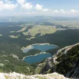
The canyon runs 78 km from the mouth of the Bistrica to Šćepan Polje (often rounded to 80 km). The greatest depth, 1,333 m, is between the Obzor and Štuoc heights; the round figure of about 1,300 m is also in use. No other canyon in Europe is deeper.

The deepest part lies inside Durmitor National Park, and Žabljak is the base for it. The Ćurevac viewpoint at 1,625 m looks straight down into the gorge, and the stops on the road between Žabljak and the Đurđevića Tara bridge show the deepest section. The park ticket, €5 per person per day and free under 15, is sold at the checkpoints, the bridge and Ćurevac among them.
Rafting and kayaking
Rafting is why most people come. The season runs from April to October, with the strongest water in April and May after the snowmelt and the safest window from 1 July to 15 September; even in summer the water stays at 15 °C or below. From Splavište on the Žabljak side the routes are 14 km (3-4 hours on the water), 24 km (5-6 hours) and the full 60 km to Šćepan Polje over two or three days; from Brštanovica, in Plužine municipality, the one-day run is the lower 18 km to Šćepan Polje. Multi-day trips put in below the Đurđevića Tara bridge. A day on the river costs about €70 plus the park entrance, and the minimum age by law is 7.

The route table, the landmarks on the way down, the rafting law and how to choose an operator are on the Rafting on the Tara page; the other rivers of the country are compared on the rafting overview. Kayakers run the same water, graded I-III between Splavište and Brštanovica: see kayaking.
SponsoredRafting on the Taraon ViatorFishing
The Tara holds huchen (Danube salmon), brown trout and grayling. Inside Durmitor National Park the river is open to anglers from 1 May to 1 October with a daily permit sold only by the duty ranger: €20 a day, the same as for Black Lake, one rod, artificial lures, up to three trout of at least 25 cm, from 14:00 to 19:00 and never on a Monday. Guided fly-fishing in the park's zone is offered from June to October, and the Kolašin-Mojkovac stretch is catch-and-release all year. Outside the park, daily zone permits come from the sport-fishing clubs that manage the stock, so ask the club for the stretch you want to fish.

The national fishing order of 2026 (Sl. list CG 75/2026, in force since 11 June 2026) sets the closed seasons: the Tara inside the park is closed from 1 October to 1 May, and all the park's waters on Mondays and outside those hours; in the northern municipalities all trout are closed from 1 November to 15 March and grayling from 1 March to 1 June; the minimum size for grayling is 30 cm; huchen must be released until 1 April 2029. Guides and zones across the country are on the fly-fishing hub.
Đurđevića Tara bridge
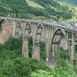
The concrete arch bridge at Đurđevića Tara is 365 m long with a main arch of 116 m and stands 170-172 m above the river. It was built between 1937 and 1940 and rebuilt in 1946. The road from Žabljak to Pljevlja and Mojkovac crosses here, the park sells tickets at the bridge, and multi-day rafting trips put in just below it. A zip line runs from the bridge nearly 150 m above the gorge; the other lines in the country are on the zip line hub.

History of the bridge
The bridge was designed by the engineer Mijat Trojanović, and its five arches were completed in 1940. On completion it was counted as the largest reinforced-concrete road bridge in Europe.
In 1942 the Partisans blew up its smallest arch to stop Italian troops advancing towards Žabljak. The task went to Lazar Jauković, one of the engineers who had built the bridge. He placed the charges so that the bridge could not be used but could be restored. He was later caught and shot on the bridge, and a memorial stone to him stands near it. The bridge was repaired and reopened to traffic in 1946.
Protection
- Tara River Basin Biosphere Reserve in the UNESCO Man and the Biosphere programme, 182,889 ha, nominated in 1976 (1977 in some listings).
- Durmitor National Park, on the UNESCO World Heritage list since 1980; the canyon is part of the site.
- In 2005 the government cancelled a dam that would have flooded part of the canyon, after a joint UNESCO and IUCN mission.
Getting there
- Žabljak: base for the Durmitor side of the canyon, the Splavište put-in, Ćurevac and the bridge; buses from Podgorica, Nikšić, Pljevlja and Mojkovac.
- Kolašin and Mojkovac: the upper river, on the main road from Podgorica to the north; Kolašin has a station on the Bar-Belgrade railway.
- Đurđevića Tara bridge: viewpoint, zip line, park checkpoint and the start of multi-day rafting, at the junction of the Žabljak, Mojkovac and Pljevlja roads.
- Brštanovica: start of the one-day rafting from the Plužine side; no scheduled bus, the transfer is arranged with the operator.
- Šćepan Polje: the confluence with the Piva, the border crossing to Bosnia and Herzegovina and the take-out of every rafting trip; carry your passport.
Closures on the canyon roads are on the road conditions page.
Questions
How deep is the Tara canyon?
1,333 m at the deepest point, between Obzor and Štuoc, which makes it the deepest canyon in Europe. The canyon is 78 km long.
Is the Tara the cleanest river in Europe?
It is often called that. What the record shows is the protection: a UNESCO biosphere reserve across the whole basin and a World Heritage canyon, and water that stays at 15 °C or below even in summer.
How long does rafting take?
From 3-4 hours on the 14 km route to two or three days for the full 60 km. One-day trips run from Splavište (14 or 24 km) and from Brštanovica (18 km).
When is the best time for rafting?
April and May for the strongest water, 1 July to 15 September for the calmest and safest water; the season closes in October.
Can you swim in the Tara?
Only for a short dip: the water stays at 15 °C or below in summer, and the river has no organised bathing spots. Rafting, kayaking and fishing are what it is used for.
Where does the Tara end?
At Šćepan Polje, where it joins the Piva to form the Drina.
Route
- 1
Source below the Komovi
The Opasnica and the Veruša join to form the Tara.
- 2
Đurđevića Tara Bridge
Arch bridge of 365 m, built 1937-1940; start of multi-day rafting.
- 3
Deepest part of the canyon
1,333 m between Obzor and Štuoc.
- 4
Šćepan Polje
Confluence with the Piva; the Drina begins here.
Activities
- RaftingApril-October (strongest water April-May, safest 1 July-15 September)
- Fishing1 May-1 October inside Durmitor National Park (daily permit from the duty ranger); guided fly-fishing in the park zone June-October; Kolašin-Mojkovac stretch catch-and-release all year · permit required
Things to do
Rafting
April to October; one-day trips from Splavište (14 or 24 km) and Brštanovica (18 km), the full 60 km to Šćepan Polje over two or three days.
Fly fishing
Huchen, brown trout and grayling; daily permits inside Durmitor National Park from the duty ranger (€20), elsewhere from the local sport-fishing clubs.
Đurđevića Tara bridge
365 m arch bridge from 1940 with a zip line across the gorge.
Canyon viewpoints
Ćurevac and the stops on the road between Žabljak and the bridge look into the deepest part of the canyon.
Fish species
- Huchen (Danube salmon)
- Brown trout
- Grayling
Protected areas
- Durmitor National Park (UNESCO World Heritage, 1980)
- Tara River Basin Biosphere Reserve (UNESCO MAB)
Bridges
- Đurđevića Tara Bridge (365 m long, built 1937-40)
On these trips
- Žabljak in 3 days: Durmitor, summer and winterSummer · Day 3 · The Tara canyon: Ćurevac, the Đurđevića Tara bridge, the zip line
- 7 days in Montenegro: coast to Durmitor loopDay 7 · Tara canyon road, Morača monastery, Podgorica
- Day trips from Podgorica by car or trainTrip 7 · Durmitor in a long day: the Tara bridge and Black Lake
- 10 days in Montenegro: the full loop by carDay 8 · Trešnjevik pass, Kolašin, Biogradska gora, Tara bridge, Žabljak
Sources
Water Administration of Montenegro, Registar voda od značaja za Crnu Goru, 2nd ed. (July 2024) · MONSTAT, Statistical Yearbook 2025, table 1-9 Major rivers · UNESCO MAB, Tara River Basin Biosphere Reserve · National Tourism Organisation of Montenegro, Rafting · National Tourism Organisation of Montenegro, Tara Canyon · National Tourism Organisation of Montenegro, Fly fishing · Onogošt, report on the 2026 fishing order (6 July 2026) · Tourist Organisation of Kolašin, Canyons · UNESCO World Heritage Centre, Durmitor National Park · UNESCO World Heritage Centre, news on the cancelled Tara dam (April 2005) · National Parks of Montenegro, Durmitor price list · National Parks of Montenegro, Durmitor active holidays (fishing rules) · Decision on fees for the use of national park goods, consolidated text (Tara fishing permit) · Wikipedia, Tara (Drina) · Wikipedia, Đurđevića Tara Bridge · Ministarstvo poljoprivrede, šumarstva i vodoprivrede, Naredba o ribolovnim zabranima, lovostaju i minimalnim veličinama riba (Sl. list CG 75/2026), Art. 3 · Tourist Organisation of Žabljak, Rafting i kajaking · Nature Park Piva, Rafting · Zakon o raftingu (consolidated text) · Tourist Organisation of Žabljak, Rijeke i kanjoni (Đurđevića Tara bridge history) · Tourist Organisation of Pljevlja, Most na Đurđevića Tari: vječita inspiracija (2 May 2025) · Vijesti, Obrad Pješivac: Most čeka da ga se sjete više od tri decenije (19 November 2018)