Orjen
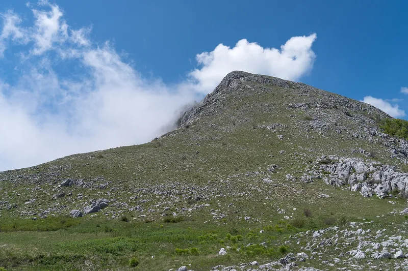
Karst mountain behind Herceg Novi: Veliki kabao 1,895 m, the highest point of the Adriatic coast, a nature park since 2018 with trails from Vrbanj.
1,895 m · Coastal Region
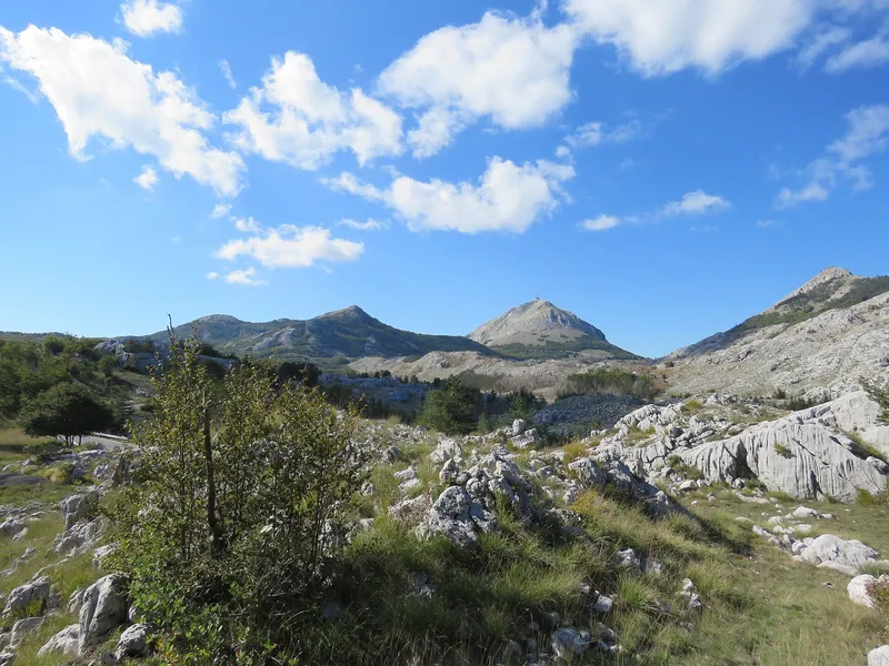
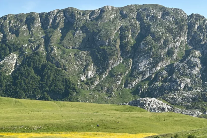
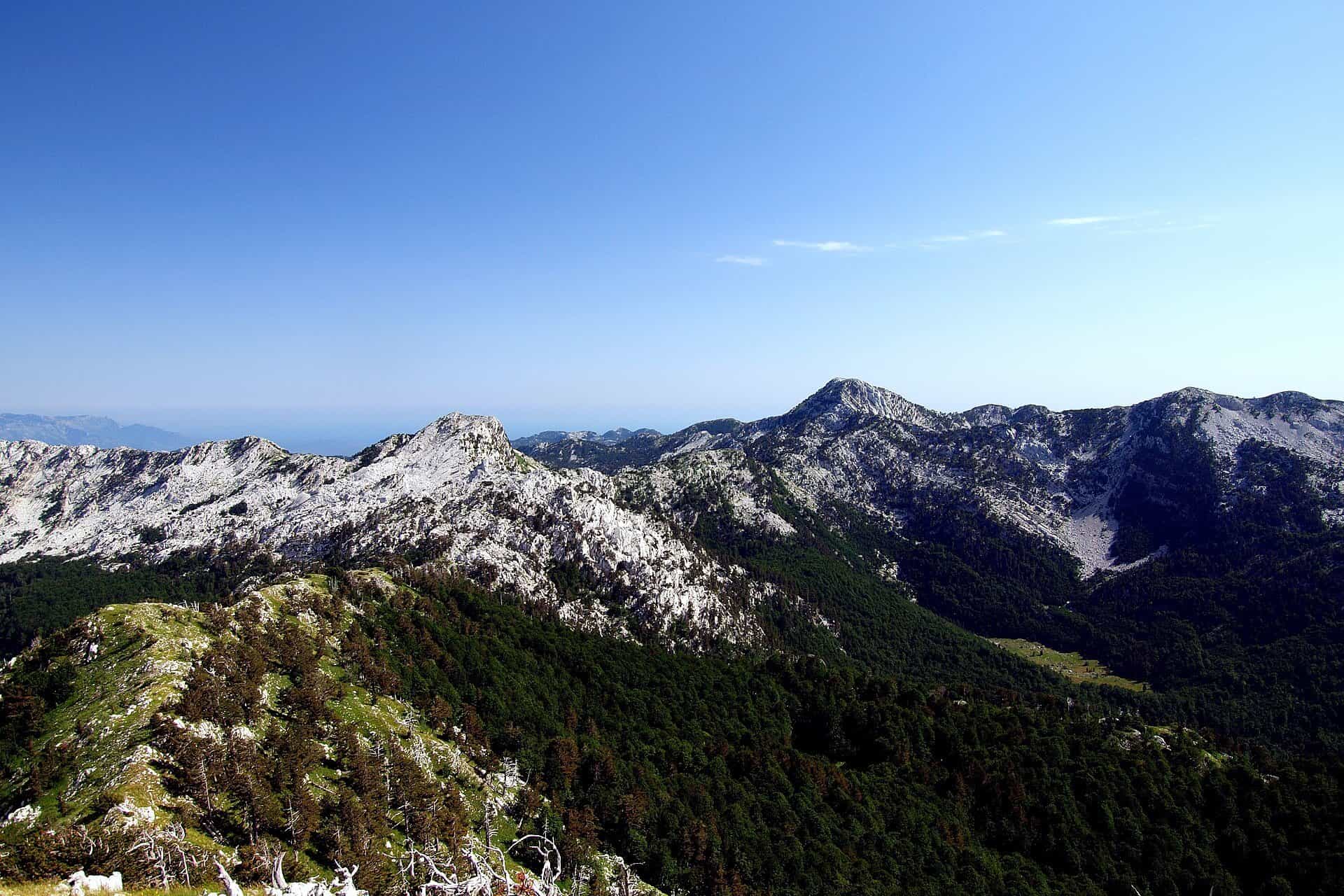
Orjen is the karst mountain in the hinterland of Herceg Novi, on the border with Croatia to the west and Bosnia and Herzegovina to the north. Its summit, Veliki kabao, is 1,895 m in the official survey table (the nature park gives 1,894 m), the highest point of the coastal Dinarides and of the whole Adriatic coast. The mountain has been Orjen Nature Park (park prirode) since 2018, managed by the Agency for the Development and Protection of Orjen in Herceg Novi, and its trails start at the village of Vrbanj (1,009 m), about 20 minutes by car above the town.
Key facts
| Highest peak | Veliki kabao, 1,895 m (the nature park gives 1,894 m) |
| Protection | Orjen Nature Park since 2018 |
| Trailhead | Vrbanj, 1,009 m: the park's information desk and an adventure park |
| Highest point by road | Orjensko sedlo, 1,600 m, on the old Austro-Hungarian military road |
| Season | mid-April to the end of October; snow on the saddle road usually until the end of April |
| Base town | Herceg Novi |
| Emergency | 112, which covers mountain rescue |
Peaks and landmarks
- Veliki kabao, 1,895 m: the summit (the nature park gives 1,894 m)
- Subra, 1,679 m: a karst amphitheatre listed as a geo-heritage site, with Sniježna jama, the snow pit, below it
- Odijevo: the park's other summit viewpoint, reached like Subra from the Za Vratlom hut and from Šljeme
- Orjensko sedlo, 1,600 m: the saddle, the highest point a road reaches and one of the park's three entrances
- Žukovica, 1,150 m: a katun with a view over the Subra amphitheatre
- Ljuti krš: the rock field at the park entrance

Orjen has no alpine lakes or streams: water disappears into the limestone, leaving stone plateaus, cracked rock and deep pits such as Sniježna jama below Subra. The relief is pure karst, shaped by water dissolving the limestone rather than by glaciers.
Hikes
The park has a dense network of marked trails from easy to demanding; the main ones start at Vrbanj.
- Veliki kabao summit trail: built for Crown Prince Rudolf of Austria and the oldest purpose-built hiking trail in Montenegro; among the most attractive routes on the mountain, though not the hardest. The trail from Za Vratlom via Borova glava to Orjensko sedlo links the southern and central parts of the massif and continues to the summit.
- From Vrbanj: trails to the Murišić cistern on Žukovica, to Sniježna jama below the Subra amphitheatre, and to the katuns Vučji do, Poljice and Kamenska ravan.
- Vrbanj to Orjensko sedlo: the upper part of the Austro-Hungarian military road from Trebinje via Vrbanj and Orjensko sedlo to Crkvice, still the only road through the massif and kept as heritage. By bike it is 1 h to 1 h 50 up from Vrbanj and 30 min to 1 h down, graded moderate; Žukovica on the way is 20 to 40 minutes up by bike. Below the saddle on the far side, Crkvice (1,080 m) keeps the ruins of an Austro-Hungarian barracks: 45 min to 1 h 15 down from the saddle and 1 h 15 to 2 h 20 back up.
Two mountain huts serve the routes: Orjen sedlo, run by the mountaineering club PK Subra at the saddle, and Za Vratlom, the start of the trail over Borova glava to the saddle. Beyond walking, the park offers mountain biking on the old cart roads, birdwatching, mountain running, paragliding, climbing and caving, an adventure park at Vrbanj, and full-moon walks in the hiking season. Its 4x4 tour Carev put runs from May to September, booked 48 hours ahead: 4 to 5 hours with about 1 hour of walking, starting at the information desk at Vrbanj, with the saddle as the main stop; the price includes park entry. Trail rules are on the hiking page.
Nature
Beech forest and Bosnian pine (munika) cover the slopes; the park has munika trees up to 650 years old.

Getting there and season
Vrbanj, the trailhead village, is about 20 minutes by car from the turn off the Adriatic highway on the Herceg Novi-Trebinje road, or under 2 hours on a marked trail from the centre of Herceg Novi. The Austro-Hungarian road continues from Vrbanj to the saddle; because of its state, that entrance is used mostly by hikers and cyclists. The coastal hiking season runs from mid-April to the end of October, and snow on the saddle road is usual until the end of April. There is no ski centre. The emergency number 112 covers mountain rescue.

Nearby
Lovćen faces Orjen across the Bay of Kotor above Kotor. Herceg Novi is the base town at the foot of the mountain, and Šilobod (480 m), a former fortified position above the entrance to the bay, is 10 to 20 minutes by bike from Kameno on the lower slopes.
Questions
Is Orjen the highest coastal mountain?
Yes. Veliki kabao, 1,895 m in the official survey table, is the highest point of the coastal Dinarides and of the Adriatic coast on both sides.
How do you get from Herceg Novi to Orjen?
By car to Vrbanj in about 20 minutes from the highway turn on the Trebinje road, or on foot from the town centre on a marked trail in under 2 hours.
Is there an entry fee?
The Carev put tour price includes park entry; ask at the information desk at Vrbanj for the amount.
Sources
MONSTAT, Statistical Yearbook 2025, table 1-8 Mountain peaks over 1800 m · Parks Dinarides, Park prirode Orjen · Tourist Organisation Herceg Novi, Nature Park Orjen · Agency for the Development and Protection of Orjen, Park offer · Park prirode Orjen, Biciklizam · Park prirode Orjen, Komunikacije · Park prirode Orjen, Posjeta · Park prirode Orjen, Panoramska tura Carev put · Park prirode Orjen, Planinarenje i hodanje · National Tourism Organisation, Hiking and trekking · EKIP, 112 emergency number press release, Feb 2023