Rumija
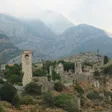
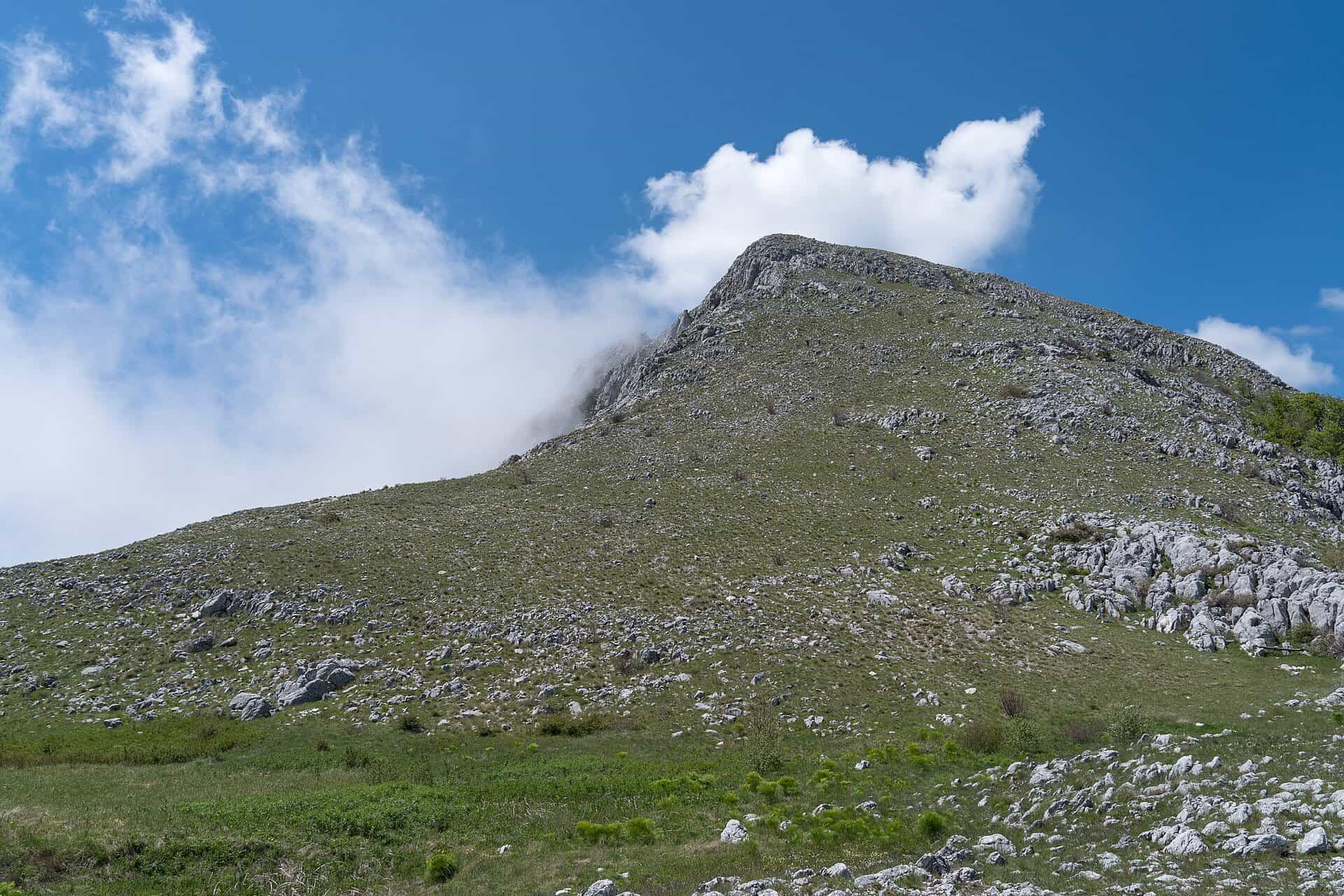
Coastal ridge of 1,594 m in the municipality of Bar, between the Lake Skadar basin and the sea, with Old Bar at its foot and two marked trails to the summit.
1,594 m · Coastal Region
Photo: Alexkom000 · CC BY 4.0
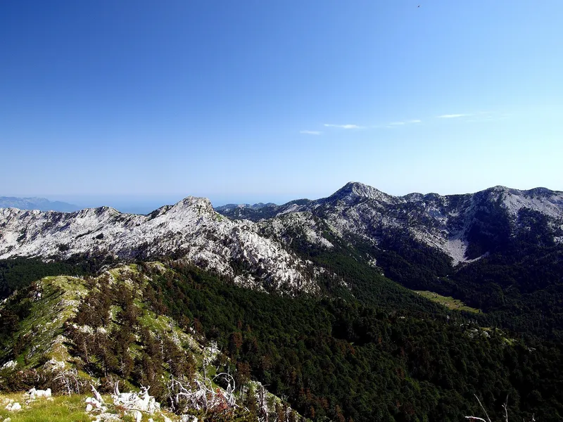
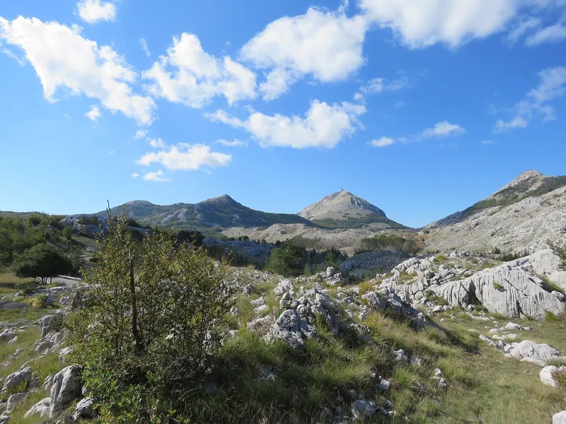
Rumija is the coastal mountain between Bar and Lake Skadar, in the municipality of Bar: a ridge that separates the lake basin from the sea, with its summit at 1,594 m and the walled ruins of Old Bar at its foot. Two marked trails lead to the top, from Gornja Briska (5.1 km, medium) and from Dobri do (4 km, difficult), and the hiking season on the coastal mountains runs from mid-April to the end of October.
Key facts
| Summit | 1,594 m |
| Massif | from about 800 m up to the summit |
| Municipality | Bar |
| Two sides | the Adriatic above Bar; the Lake Skadar basin, where the slopes above Murići are the border zone of Skadar Lake National Park |
| Summit trails | Gornja Briska to Rumija, 5.1 km, medium; Dobri do to Rumija, 4 km, difficult |
| Season | mid-April to the end of October |
| Base towns | Bar; Virpazar on the lake side |
| Emergency | 112, which covers mountain rescue |

Peaks and the Bar mountains
Rumija is the highest of the mountains of the Bar municipality; its central massif rises from about 800 m to the 1,594 m summit. The others are Lisinj, 1,353 m, Sutorman and Sozina, 1,185 m each, Vrsuta, 1,183 m, and Velja Trojica, 1,132 m. The road from Virpazar to Bar crosses the ridge at the Sutorman pass, 790 m, which is also the highest point of the national Top Trail 5 cycling loop. A viewpoint named Sutorman, built in the shape of a threshing floor (guvno), looks over the lake and the mountains, and Vrsuta has a paragliding take-off at 1,133 m for south, south-east and south-west winds. On the sea side, the Tuđemili viewpoint above Bar frames the town, the sea and the peaks of Rumija, Lisinj and Sutorman, with free parking.
Hikes
The Bar tourist board's hiking map, "Hiking Between Two Magical Shores", covers the marked trails on both sides of the ridge, along the lake and along the coast, graded easy, medium and difficult. The summit routes and the shorter walks around Rumija:
| Route | Length | Grade |
|---|---|---|
| Gornja Briska to Rumija | 5.1 km | medium |
| Dobri do to Rumija | 4 km | difficult |
| Sutorman to Vrsuta and back | 3.3 km | easy |
| Olive groves of Krajina | 7.7 km | easy |
| Sutomore to Haj-Nehaj fortress | 2.7 km | short climb to the fortress |

Plan the summit day by length and grade: Dobri do is the shorter and harder approach, Gornja Briska the longer and gentler one. The slopes are also one of the areas where wild herbs are gathered. The general rules for marked trails are on the hiking page; the emergency number 112 covers mountain rescue.
The coastal transversal
Rumija is one end of the Coastal Mountain Transversal (Primorska planinarska transverzala), the marked long-distance route Orjen-Lovćen-Rumija that belongs to the national network of marked trails. Under the law on mountain trails a transversal is a set of trails joined into one whole, with control points that hold logbooks and stamps, looked after by clubs of the mountaineering association.
The lake side
Towards the lake the mountain drops to the shore of Lake Skadar, and the slopes above Murići form part of the border zone of Skadar Lake National Park. The park has no major summit of its own: Rumija is the ridge between its basin and the sea.
Getting there and season
Bar is the base: 56 km and about 1 h 5 min by car from Podgorica through the Sozina tunnel, 49 km (about 57 min) from Podgorica Airport and 31.5 km (about 41 min) from Ulcinj, free-flow driving times. Virpazar on the lake is reached from Bar over the Sutorman pass. The season for the coastal mountains is mid-April to the end of October, earlier and longer than for the high mountains of the north.
Nearby
On the sea side: Old Bar, the beaches of Bar, the Haj-Nehaj fortress above Sutomore and Ulcinj to the south. On the lake side: Virpazar and Skadar Lake National Park. Lovćen and Orjen are the other two mountains of the coastal transversal.
Questions
How high is Rumija?
1,594 m. The massif rises from about 800 m, and the other Bar mountains are lower: Lisinj 1,353 m, Sutorman and Sozina 1,185 m, Vrsuta 1,183 m and Velja Trojica 1,132 m.
Which trail goes to the top?
Two marked routes: Gornja Briska to Rumija, 5.1 km and medium, or Dobri do to Rumija, 4 km and difficult. Both are on the Bar tourist board's hiking map.
Is Rumija a national park?
No. Its slopes above Murići on the lake side are the border zone of Skadar Lake National Park, but the mountain itself has no park status.
When is the season?
Mid-April to the end of October, the season for the coastal mountains.
Sources
Tourist Organisation Bar, About Bar · Tourist Organisation Bar, Natural attractions · Tourist Organisation Bar, Activities (hiking trails table) · Tourist Organisation Bar, Sutorman viewpoint · Tourist Organisation Bar, Tuđemili viewpoint · Tourist Organisation Bar, Besac fortress (Virpazar-Bar road through Sutorman) · National Tourism Organisation, Hiking and trekking · National Tourism Organisation, Paragliding · National Tourism Organisation, Herbalism · National Tourism Organisation, Top Trail 5 brochure (PDF) · National Parks of Montenegro, Skadarsko jezero, plants (border zone above Murići) · Zakon o planinskim stazama (2008), FAOLEX copy · Routes computed with OSRM on OpenStreetMap data (ODbL) · EKIP, 112 emergency number press release, Feb 2023