Piva
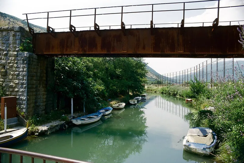
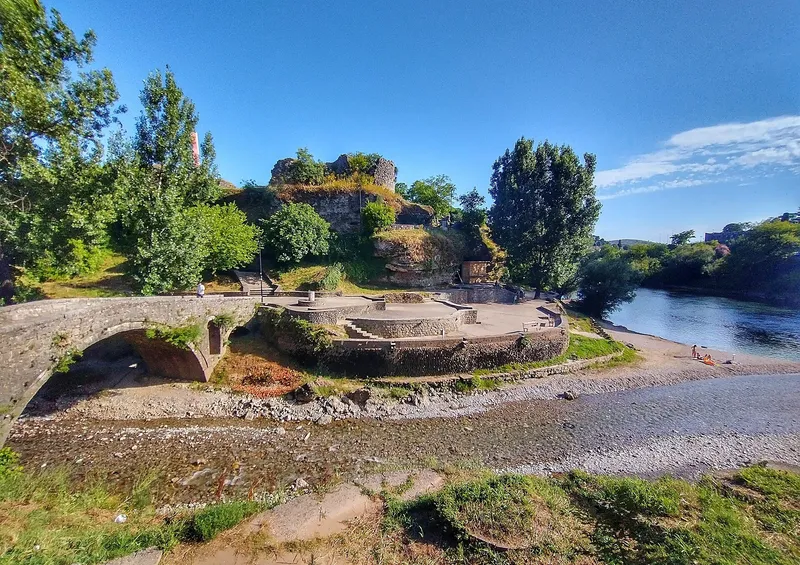
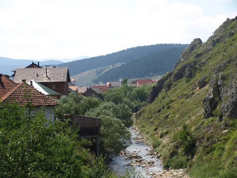
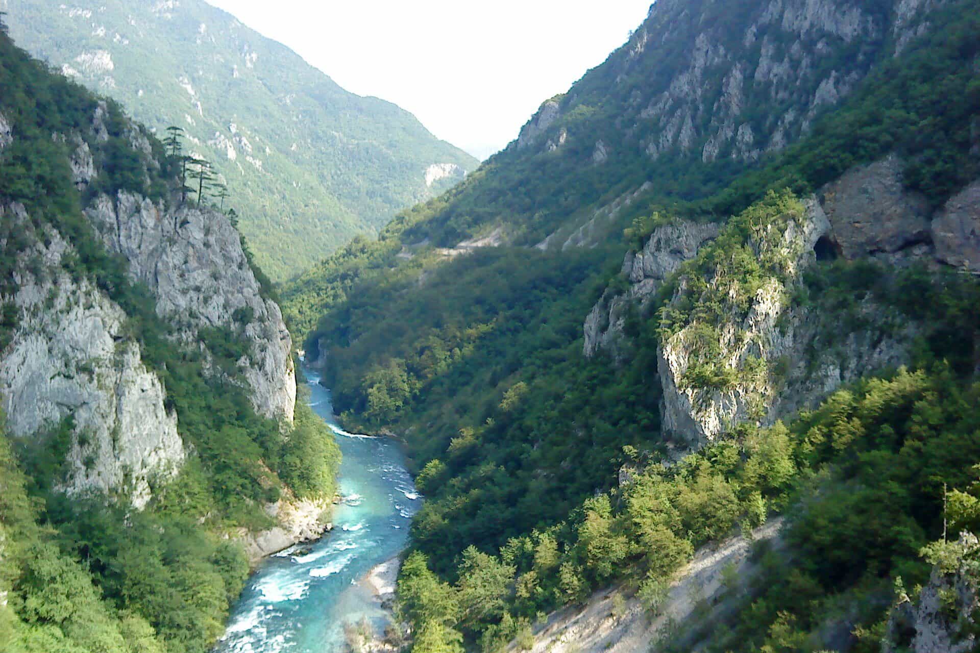
The dammed canyon river of north-west Montenegro: Piva Lake behind the 220 m Mratinje dam, a road cut along a canyon 33 km long and up to 1,200 m deep, the relocated Piva Monastery, and the meeting with the Tara at Šćepan Polje.
9.77 km · North-west Montenegro · Canyon river, dammed to form Piva Lake
Photo: Römert · CC BY-SA 3.0
- In Montenegro
- 9.77 km
- Basin
- 1,567 km²
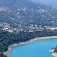
The Piva is the river of north-west Montenegro that was turned into a lake. The Mratinje dam, 220 m high, holds back Piva Lake through most of Plužine municipality; below the dam the river runs free for 9.77 km to Šćepan Polje, where it meets the Tara on the border with Bosnia and Herzegovina and the two become the Drina. The road from Plužine to the border follows the canyon the whole way, crosses the top of the dam and passes a string of viewpoints, which is how most people see the Piva. The rest of it is seen from the nature park's boat, a kayak, a zip line or behind a fishing rod.
Course
In the Water Register the Piva is the free river below the dam: 9.77 km from Mratinje to Šćepan Polje, the last 3 km of which form the border with Bosnia and Herzegovina. MONSTAT's yearbook counts it from the headwaters of the Komarnica below Durmitor, at 1,110 m, and so gives 78 km with the reservoir included, and a catchment of 1,567 km². By its own name the Piva begins at the Sinjac spring, the site where the Piva Monastery stood before the lake. At Šćepan Polje the river leaves Montenegro at 434.8 m, and its water goes on through the Drina and the Danube to the Black Sea.
Most of the old course lies under the lake. The dam holds the river back for more than 30 km, plus side arms, of which the Vrbnica's, about 5 km, is the longest. The water stands at up to 675 m and the power plant draws it down by as much as 90 m, to 595 m; the lake covers about 13.2 km² and is up to about 188 m deep, with the Komarnica and the Vrbnica as its main feeders. The figures and the lake's own story are on the Piva Lake page.
The canyon
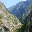
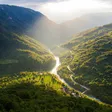
The Piva canyon is 33 km long and up to 1,200 m deep. The road from Plužine to Šćepan Polje runs along it, cut into the wall above the lake and then above the free river below the dam, and the stretch is rich enough in viewpoints to be driven slowly. The Piva canyon viewpoint at Babići looks down the canyon to the dam and across to the Vučevo plateau. Kruška, at a hairpin on the Plužine-Trsa road, and Unač, a rest area at 1,365 m built in 2019, look over the lake, Plužine and the Bioč-Maglić-Volujak massif; across the bridge into Plužine there is a lookout with parking; and the Zagrađe monastery viewpoint above Šćepan Polje shows the confluence itself, where the Drina begins. The park's other lookouts, Soko peak, Maričina greda and Muratovica, are up the road from Šćepan Polje towards Crkvičko Polje.

Mratinje dam and the hydro plant
The Mratinje dam is a concrete arch 220 m high with a crest 270 m long, built between 1969 and 1976 at the lower end of the lake; the electricity company EPCG ranks it among the largest concrete arch dams in the world. The whole power plant, HE Piva, is underground and has been in service since 1976. The M3 (E762) road from Podgorica towards Sarajevo crosses the top of the dam, and from the railing the dry side drops 220 m to the river. There is no proper place to stop on the dam itself, and staff may ask drivers to move on; just past the junction on the far side, where a road turns off to Mratinje village, and a short tunnel, a widening on the right has room to park and walk back.

Piva Monastery and the flooded valley
The reservoir drowned the monastery's old site at Sinjac. Between 1970 and 1982 the Piva Monastery was taken down and rebuilt at Goransko, and its frescoes, nearly four centuries old, moved with it. The monastery page tells the story of the move and what to see there.

On the water
Nature Park Piva, which manages the park from its office in Plužine at Baja Pivljanina 10, runs cruises on the lake under the cliffs, where chamois and a golden eagle's nest may be seen, with a swim in summer, and rents four kayaks with helmets and life jackets. No bathing place is designated on the shore. In September the Tara, the Piva and the Komarnica host an international kayak festival.
Rafting is on the Tara, not on the Piva: the Plužine side's one-day run covers the lower 18 km from Brštanovica to Šćepan Polje, in wooden rafts as well as rubber boats, and ends at the Piva confluence. Routes and season are on the Tara rafting page.
Fishing
Daily permits for the Plužine waters come from the local sport-fishing club, as on every river outside the national parks. Under the national order of 2026 (Sl. list CG 75/2026, in force 11 June 2026) all trout in Plužine waters are closed from 1 November to 15 March and grayling from 1 March to 1 June; fishing on the Vrbnica and the Bukovica is banned until 1 April 2028; huchen, pike and marble trout are closed in all waters until 1 April 2029 and go back alive if caught; and sport fishing at night is banned everywhere (spring 20:00-05:00, summer 21:00-04:00, autumn 19:00-06:00, winter 17:00-06:00). Zones and gear rules are on the fly-fishing and fishing pages.

Protection
The canyon lies in Nature Park Piva, which covers a large part of Plužine municipality between the border with Bosnia and Herzegovina and Durmitor National Park and takes in the canyons of the Tara, the Piva and the Sušica.
More to do around the lake
The Piva Lake zip line, 1,400 m from the Eko-Piva guesthouse across the lake to the bridge, is the longest in Montenegro. Via Ferrata Piva, about 4,500 m of cabled route near the Piva bridge, opened in October 2024, and the Piva climbing crag, about 2 km from Plužine above the lake, has 61 routes. On the Komarnica, the lake's main feeder, Nevidio is the country's main canyoning route. The Durmitor Ring comes round the massif on the Piva side through Trsa and Pišče.
Getting there
- Plužine, the municipal seat on the lake shore and the base for everything on this page: 58 km (about 1 h 15) from Nikšić, 49 km (about 1 hour) from Žabljak, 108 km (about 2 h 15) from Podgorica and 147 km (about 3 hours) from Budva by car.
- Mratinje dam: 61 km from Žabljak, 74 km from Nikšić and 124 km from Podgorica.
- Šćepan Polje: the confluence, the take-out of every Tara rafting trip and the border crossing into Bosnia and Herzegovina; carry your passport.
The canyon road is the M3; closures and restrictions are on the road conditions page.
Questions
How long is the Piva?
9.77 km of free river below the Mratinje dam in the Water Register; 78 km in MONSTAT's table, which counts the Komarnica headwaters and the reservoir.
How deep is Piva Lake?
Up to about 188 m, at a full level of 675 m.
When was the dam built?
Between 1969 and 1976; the hydro plant has been in service since 1976.
Can you swim in Piva Lake?
Yes, in summer, from the park's cruise boat; no bathing place is designated on the shore.
Is there rafting on the Piva?
No. Rafting is on the Tara, and its lower run from Brštanovica ends at the Piva confluence at Šćepan Polje.
Route
- 1
Piva Monastery
Moved here from its old site at Sinjac between 1970 and 1982, before the valley was flooded.
- 2
Mratinje dam
Concrete arch dam, 220 m high, built 1969-1976; HE Piva in service since 1976.
- 3
Šćepan Polje
Confluence with the Tara; the Drina begins here.
Things to do
Drive the canyon road
The M3 along the canyon wall above Piva Lake, with the Babići, Kruška, Unač and Zagrađe viewpoints.
Piva Monastery
Relocated to Goransko between 1970 and 1982, before the valley was flooded for the reservoir.
Mratinje dam
220 m concrete arch dam at the lower end of the lake; the road crosses its crest.
Cruise or kayak on the lake
Nature Park Piva's cruises under the cliffs and kayak hire from its office in Plužine.
On these trips
Sources
Water Administration of Montenegro, Registar voda od značaja za Crnu Goru, 2nd ed. (July 2024), entries Piva (p. 30) and Pivsko jezero (p. 102) · MONSTAT, Statistical Yearbook 2025, tables 1-7 Accumulation lakes and 1-9 Major rivers · EPCG, HE Piva · Ministarstvo poljoprivrede, šumarstva i vodoprivrede, Naredba o ribolovnim zabranima, lovostaju i minimalnim veličinama riba (Sl. list CG 75/2026), Art. 2-3 · Nature Park Piva, Kanjon Pive · Nature Park Piva, O parku · Nature Park Piva, Krstarenje (lake cruise) · Nature Park Piva, Kajak · Nature Park Piva, Rafting · Nature Park Piva, Vidikovac Kruška, kanjon Pive; Vidikovac Kanjon Pive, Babići; news of 19 June 2019 (Unač viewpoint) · TO Žabljak, Panoramski putevi (the Ministry's panoramic-road guide: Mratinje dam, Plužine bridge) · National Tourism Organisation of Montenegro, Crown of Montenegro panoramic road (map) · RTCG, 1 Feb 2020, Prije pola vijeka prenesen manastir Piva · National Tourism Organisation of Montenegro, Fly fishing (permits from the sport-fishing clubs) · National Tourism Organisation of Montenegro, Kayaking (September kayak festival) · National Tourism Organisation of Montenegro, Canyoning (road through the Piva canyon) · Routes computed with OSRM on OpenStreetMap data (ODbL) · Wikipedia, Piva (Drina) (secondary, pointer only) · Wikipedia, Mratinje Dam (secondary, pointer only)