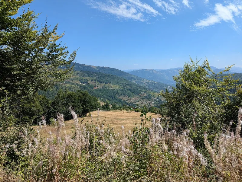
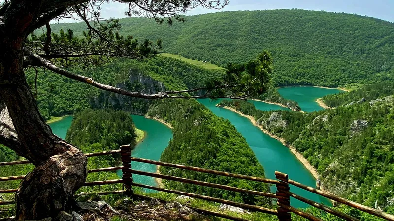
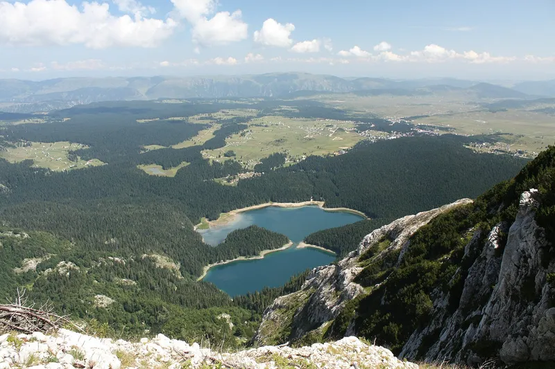
Bendovac, 1,774 m, is the viewpoint above Biogradsko lake that Biogradska gora National Park recommends and the Kolašin tourist office calls the finest over the lake. The marked trail from the lake car park is 6.8 km with about 700 m of climb, 2 h 30 up. The view covers the park's glacial lakes, old forest, pastures and peaks.
What you see
The park names glacial lakes, the old-growth forest, pastures and the peaks of Bjelasica. Biogradsko lake lies directly below.

The trail
| Start | Car park at Biogradsko lake, 1,094 m |
| Finish | Bendovac viewpoint, 1,774 m |
| Length | 6.8 km |
| Climb | About 700 m |
| Time | 2 h 30 (ascent) |
Route: the gravel road along the left side of the lake up to katun Dolovi Lalevića; short-cuts leave the road at the wooden tower Lazovi. At the first hut of the katun a path climbs diagonally to the viewpoint. The descent time and the season of the lake car park are not published.

GPS
No official coordinates exist. OpenStreetMap has a viewpoint node "Bendovac" at 42.89551, 19.62664; a second node by another mapper lies about 200 m away. The first is used on the map here and marked approximate.
Fees
Biogradska gora National Park charges €4 per person per day, which includes the visitor centre and the educational trails.
Nearby
Zekova glava (2,117 m) and Crna glava (2,139 m), the park's other recommended viewpoints, are reached from eko katun Vranjak on the park boundary; see the Bjelasica page. The Trešnjevik pass on the old Kolašin-Andrijevica road is the drive-up viewpoint on the Komovi side.
On these trips
Draft, not yet checked · How we check facts