Driving to Biogradska gora National Park?
Compare rental cars and pick-up points before you set off.
on Localrent
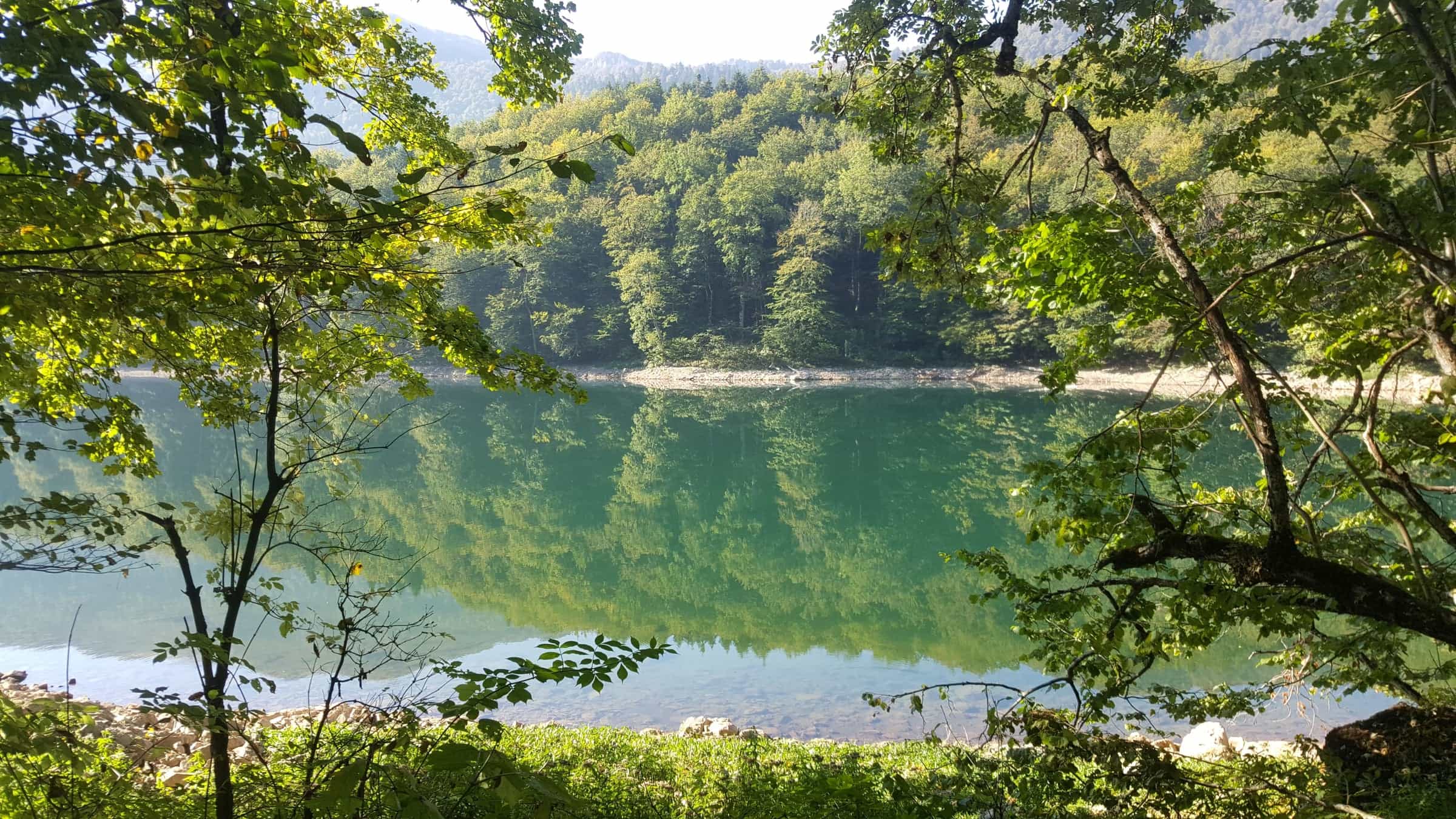
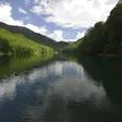
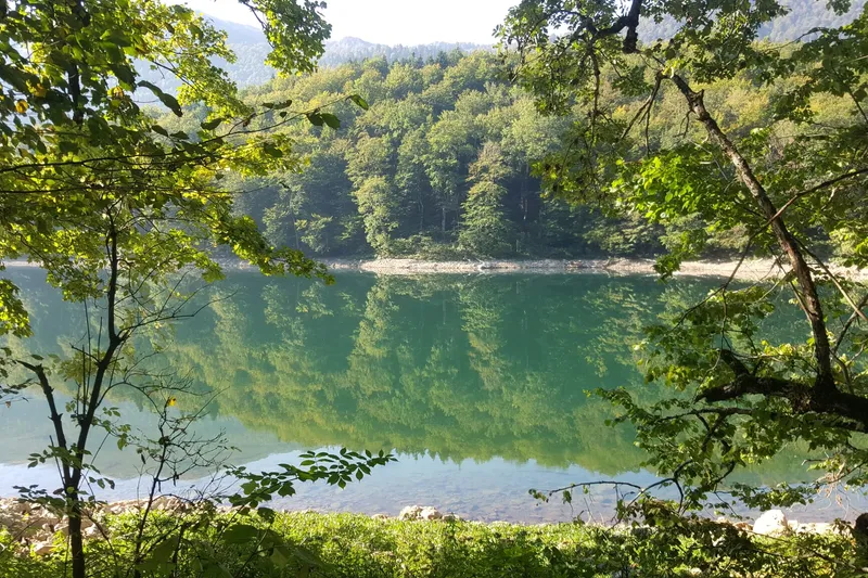
The smallest of Montenegro's national parks (5,650 ha) on Bjelasica, declared in 1952 around a 1,600 ha primeval forest reserve and Biogradsko jezero. Entrance €4 a day; 22 km from Kolašin.
Kolašin
Biogradska gora National Park protects 5,650 ha of the Bjelasica massif between the Tara and Lim valleys, 22 km from Kolašin. Declared in 1952 together with Durmitor and Lovćen, it is the smallest of Montenegro's five parks and the one built around a forest: a 1,600 ha primeval reserve in the Biogradska rijeka and Jezerštica basins, with beech, fir and spruce over 40 m tall and up to 500 years old, protected from felling since 1878. Most visits centre on Biogradsko jezero (1,094 m), a flat hour's loop from the lakeside car park. Entrance costs €4 per person per day.
 Private Full-Day Tour in Moraca and Tara Canyons, Durmitor & Biogradska Gora NPRating 5 (45)from €155
 Jeep tour in National park Biogradska goraRating 5 (22)from €214.50
 Kolasin and Biogradska gora tourRating 5 (8)from €190
 Tour of Tara and Moraca Canyon with Biogradska Gora and DurmitorRating 5 (4)from €250
Tours, ratings and prices: Viator.
All tours in Biogradska gora National ParkTickets are sold at the two checkpoints, Kraljevo kolo at the park entrance and Vranjak, and online at ulaznice.nparkovi.me. The ticket includes the visitor centre on the lake shore and the educational trails.
| Ticket | Price |
|---|---|
| Entrance, per person per day | €4 |
| Children under 15 | free |
| Organised groups of 20 or more | 50% off |
| Annual ticket for all five national parks (sold at park points only; valid to 31 December) | €13.50 |
| Rowing boat on the lake, per hour | €10 |
| Kayak, single / double, per hour | €3 / €5 |
| Bike, per hour / per day | €3 / €8 |
| Snowshoes / walking poles, per day | €4 / €3 |
| Guide, 4 h / 8 h | €40 / €80 |
| Tent pitch on the lake shore, per day | €3 |
| Fishing permit, lake or Tara reach, per day | €20 |
| Parking, car, per hour | €1 |
Entry is free on 22 April, 21, 22 and 24 May, the second Sunday of June, 13 July and 31 July. The park has no closing season; in winter access depends on the park road being clear. The education centre in the park administration building (Buda Tomovića 10, Kolašin) is open weekdays 07:00-15:00 with an exhibition on bears; groups announce a visit a day ahead (+382 20 865 625).

Six marked mountain trails lead to Crna glava, Troglava, Zekova glava and the glacial lakes, and two short thematic trails stay near the lake. The wider area is on the hiking hub.

The national transversal "Planinama Crne Gore" (CT-1, part of the European route E-6) crosses the park via Vranjak, Crna glava and Svatovsko groblje. Cyclists have the 63 km "Dvije glave i pet jezera" (Two peaks and five lakes) loop from the lake over Zekova glava and Crna glava, 8-9 hours, and two shorter park routes. The 20 m lookout tower at Lazovi is out of use.
 SponsoredGuided hikeson Viator
Rowing boats (€10 an hour) and kayaks (€3 single, €5 double) go out on Biogradsko jezero from the reception on the shore. Fishing on the lake needs a daily permit (€20): one rod, artificial lures, at most 5 trout of at least 25 cm. On the park's reach of the Tara the rule is fly gear only and catch and release, also on a €20 daily permit. The park rents bikes, snowshoes, poles and tents and runs short jeep tours from Kolašin to the source of the Biogradska rijeka or to Dolovi Lalevića (€10 per vehicle).
In winter the nearest skiing is at Kolašin 1600 on the Kolašin side of Bjelasica, 12 km from the town, whose six-seat chairlift reaches 2,035 m below Troglava.
Tent pitches are on the lake shore next to the visitor centre (€3 a day; tent rental €8). The serviced camp at Kraljevo kolo by the entrance takes mobile homes (€20 a day). Twelve bungalows on the shore (32 beds, 12 m² each with a terrace) are leased to a private operator. There are no permanent settlements in the park, and camping anywhere else is prohibited by the Law on National Parks.
From Kolašin take the Mojkovac road for 22 km, turn right at a small bridge, pay at the barrier and follow 4 km of asphalt to the lakeside car park (car €1 an hour). The lake is about 50 km from Podgorica by the Podgorica-Mateševo motorway and 75 km by the old road through Kolašin. Kolašin has the nearest railway station (Bar-Belgrade line, about 1.5 km from the town centre) and the bus station; the last stretch into the park is by road. Berane is the park's third municipality, after Kolašin and Mojkovac.
The trekking season runs from May to the end of October, and autumn colours the beech forest around the lake. The lake loop is the one walk that works in any month the park road is clear. The bungalows and the camp follow the summer season; the Kolašin ski centre opens in December.
The park entrance is off the Kolašin-Mojkovac road in the Tara valley. Komovi is the next massif beyond the Trešnjevik pass, and Kolašin is the base for both. Durmitor National Park is reached via Mojkovac and the Đurđevića Tara bridge; Prokletije via Andrijevica and Plav. All five parks are on the national parks hub.
€4 per person per day, free under 15, half price for organised groups of 20 or more. The €13.50 annual ticket covers all five national parks.
The park is described as one of three remaining primeval forests in Europe. That is a description rather than a measurement; the measured facts are a 1,600 ha strict reserve, trees over 40 m and up to 500 years old, and more than 2,000 plant species.
A swim is possible, but it is not organised: there are no lifeguards. Fishing and boating are the uses the park runs.
The lake loop is about an hour. Bendovac is a 680 m climb from the lake; Zekova glava and Crna glava from Vranjak take 1 h 20 min and 2 h 15 min one way.
Compare rental cars and pick-up points before you set off.
JPNPCG, Management Plan NP Biogradska gora 2026-2030 (PDF) · JPNPCG, Biogradska gora price list · JPNPCG, Biogradska gora active holidays · JPNPCG, Biogradska gora culture · JPNPCG, Biogradska gora education page (protection history) · Law on National Parks (Sl. list CG 28/2014, 39/16) · Decision on fees for the use of national park goods, consolidated text · JPNPCG, online tickets and exemptions · JPNPCG, other price list (jeep tours) · JPNPCG, rules on filming, photography and drones (1 Jul 2026) · National Tourism Organisation, National park Biogradska gora · National Tourism Organisation, Hiking and trekking (season) · National Tourism Organisation, Ski centres of Montenegro · MONSTAT, Statistical Yearbook 2025 (lakes, peaks over 1,800 m) · TO Kolašin, Biogradsko jezero loop (directions) · TO Kolašin, Vranjak-Troglava-Zekova glava-Crna glava trail · TO Kolašin, Trešnjevik-Vranjak trail · TO Kolašin, Biogradska gora National Park · TO Kolašin, how to get to us · TO Kolašin, Lakes · Nacionalni parkovi Crne Gore, annual ticket 2026 (prestopay)
Google Analytics counts visits without cookies. With your consent it also sets cookies that show us how the site is used. Nothing is used for advertising. Privacy