Bjelasica
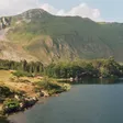
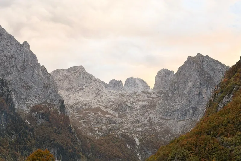
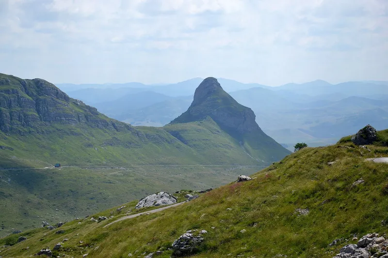
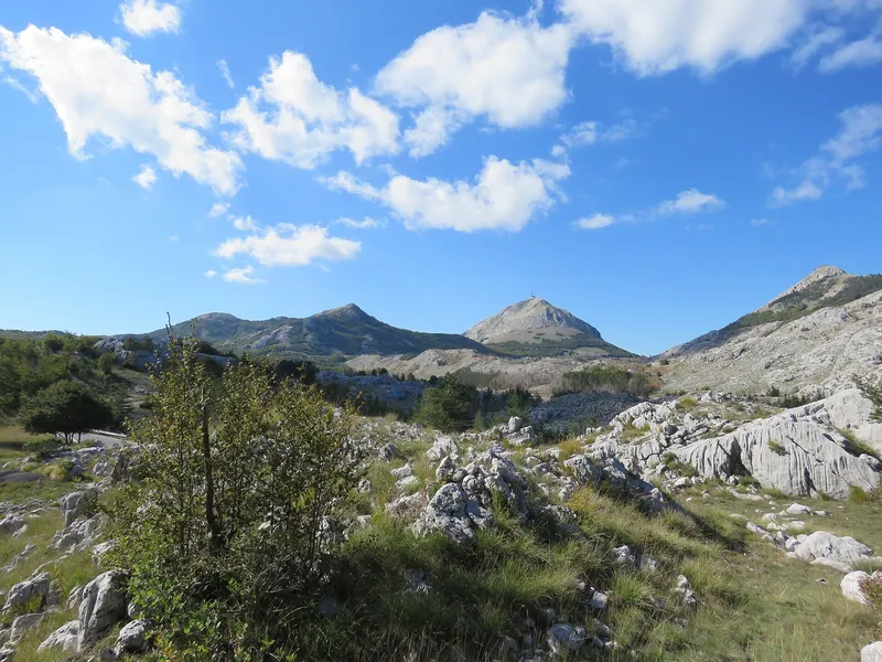
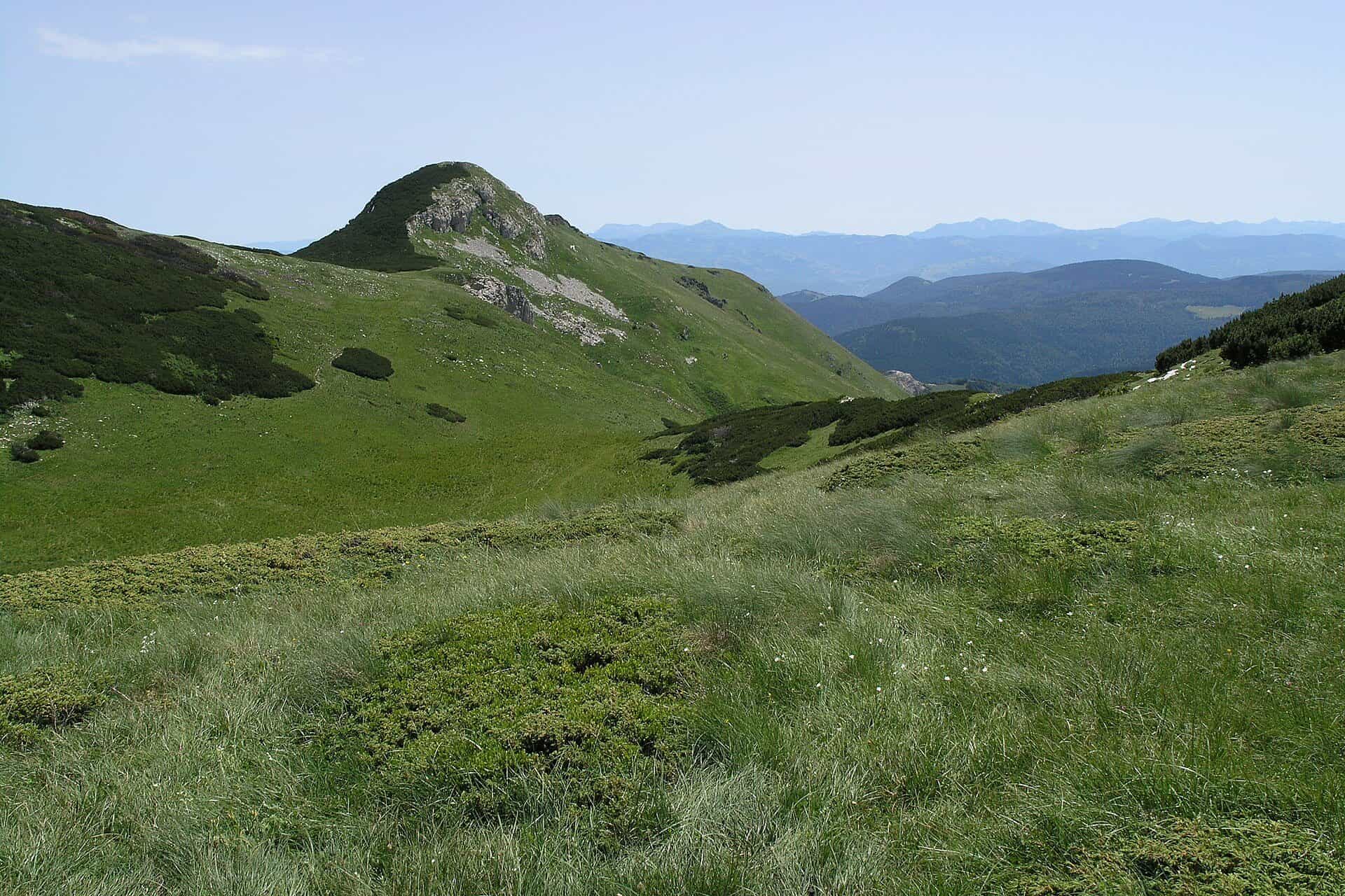
Grassy massif between the Tara and Lim with Crna glava (2,137 m), Biogradska gora National Park, four glacial lakes and the Kolašin ski centres.
2,137 m · Northern Region
Photo: Matěj Baťha · CC BY-SA 3.0
Bjelasica is the massif east of Kolašin, between the valleys of the Tara and the Lim. Its highest peak, Crna glava, is 2,137 m in the official survey table (the Kolašin tourist board and the national tourism organisation give 2,139 m). Part of the massif is Biogradska gora National Park, which spans the municipalities of Kolašin, Mojkovac and Berane; the park page covers fees and the lake, this page the mountain, its routes and the ski centres.
Peaks
The Kolašin tourist board describes four ridges running north-west to south-east, with heights from the official table where it lists them:
- Crna glava, 2,137 m (tourist board 2,139 m), on the third ridge, also called Šiška planina
- Strmenica, 2,122 m, the fourth ridge
- Zekova glava, 2,116 m (tourist board 2,117 m), on the second ridge
- Troglava, 2,075 m by the tourist board (the Kolašin 1600 piste map prints 2,072 m), next to Zekova glava; the K8 cable car's top station is at 2,035 m, below the summit
- Ogorjela glava, 1,986 m
- Ključ, 1,972 m, on the first ridge with Kobilja glava
The second ridge runs Lumer, Goleš, Lisa, Troglava and Zekova glava. The whole massif covers about 630 km².

Hikes
The park authority counts six marked trails in the national park, leading to Crna glava, Troglava, Zekova glava and the glacial lakes, but publishes no lengths. The routes below are those with figures from the Kolašin tourist board and the park authority.
- Vranjak katun (1,800 m) to Zekova glava: 3.7 km, +317 m, about 1 h 20, easy to medium.
- Vranjak katun to Crna glava: 7 km, +339 m, about 2 h 15, easy to medium.
- Trešnjevik pass (1,573 m) to Vranjak katun: 15.7 km, about 4 h, graded Middle III, marked, with water on the way. Trešnjevik is on the Mateševo-Andrijevica road.
- Biogradsko jezero (1,094 m) to the Bendovac viewpoint (1,774 m): a marked climb from the lake.
- Biogradsko jezero loop: 3.3 km, easy, about 40 min.

Huts named in official sources are the Suvodo hut on the park's thematic route and the Vranjak eco-katun. Near the ski centres the tourist board also offers guided night hikes, with equipment rental. Trail rules and the national network are on the hiking page.
Lakes and viewpoints
Four glacial lakes lie on the massif: Biogradsko jezero in the old-growth forest of the park, and higher up Pešića, Šiško and Ursulovačko jezero, which at 1,895 m is the highest on Bjelasica. Bendovac above Biogradsko jezero is the marked viewpoint.

Skiing
Two linked ski centres sit on the Kolašin side. Kolašin 1600, 12 km from town, has the K8 six-seat cable car to a top station at 2,035 m on Troglava, 8 runs and 10.5 km of pistes. Kolašin 1450, 9 km from town, has 17 km of runs. The K7 lift joins the two areas. The season starts in December, and daily ski buses run from Kolašin. Ski touring and snowshoeing are recommended on Bjelasica and Sinjajevina. All centres are compared on the skiing page.
Nature
Bjelasica is a grassy, rounded massif with katuns (summer pastures) on its plateaus, unlike the bare limestone of Durmitor or Prokletije. Its lower slopes carry the forest of Biogradska gora, and the four lakes in its cirques are glacial. The national park spans elevations from 832 m to the summit.
Getting there
Kolašin is the base: it is on the Bar-Belgrade railway and reached by car or bus. Trailheads are the Vranjak katun above the ski centres, the Trešnjevik pass on the Andrijevica road, and Biogradsko jezero in the park. Ski buses run daily from town in winter.
Safety and season
The tourist board and the NTO give May to the end of October as the trekking season on Bjelasica. The emergency number 112 covers mountain rescue. Inside the park, camping and fees follow the park rules.
Nearby
Komovi lies to the south, beyond the Trešnjevik pass; Sinjajevina is the other massif walked from Kolašin. The towns around the massif are Kolašin, Mojkovac, Berane and Andrijevica.
Questions
How high is Bjelasica?
Crna glava, 2,137 m in the official survey table; the tourist board prints 2,139 m.
Is Bjelasica good for beginners?
Yes. From the Vranjak katun the two main summits take 1 h 20 and 2 h 15 with little more than 300 m of ascent, and the lake loop in the park is a 40-minute walk.
Where do you ski on Bjelasica?
At Kolašin 1600 and Kolašin 1450, 12 km and 9 km from Kolašin, linked by the K7 lift, from December.
On these trips
Sources
MONSTAT, Statistical Yearbook 2025, table 1-8 Mountain peaks over 1800 m · Tourist Organisation Kolašin, Mount Bjelasica · Tourist Organisation Kolašin, Bjelasica ridges · TO Kolašin, trail Vranjak-Troglava-Zekova glava-Crna glava · TO Kolašin, trail Biogradsko jezero-Bendovac · TO Kolašin, trail Trešnjevik-Vranjak · TO Kolašin, Lakes · National Parks of Montenegro, Biogradska gora active holidays · Law on National Parks, Sl. list CG 28/2014, 39/16 · National Tourism Organisation, National park Biogradska gora · National Tourism Organisation, Skiing · National Tourism Organisation, Ski centres of Montenegro · Skijališta Crne Gore, Kolašin 1600 piste map · National Tourism Organisation, Hiking and trekking · EKIP, 112 emergency number press release, Feb 2023