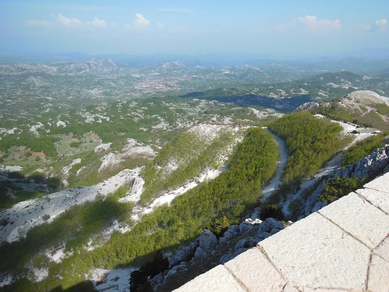
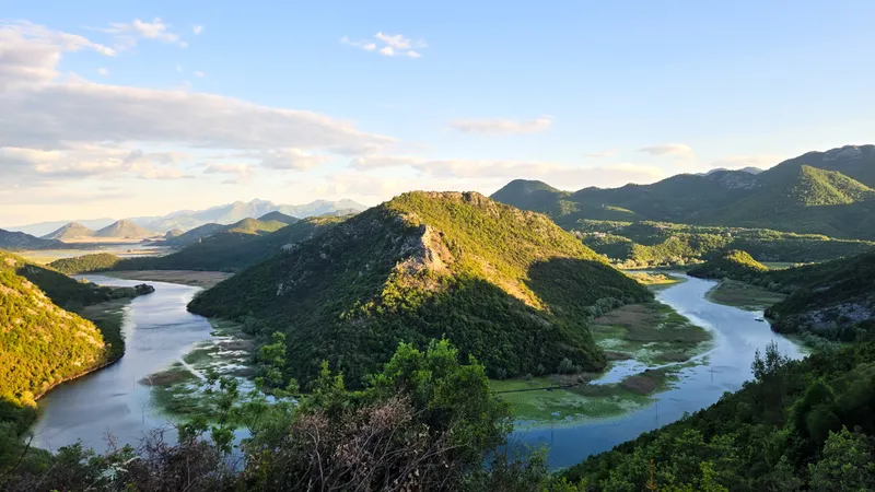
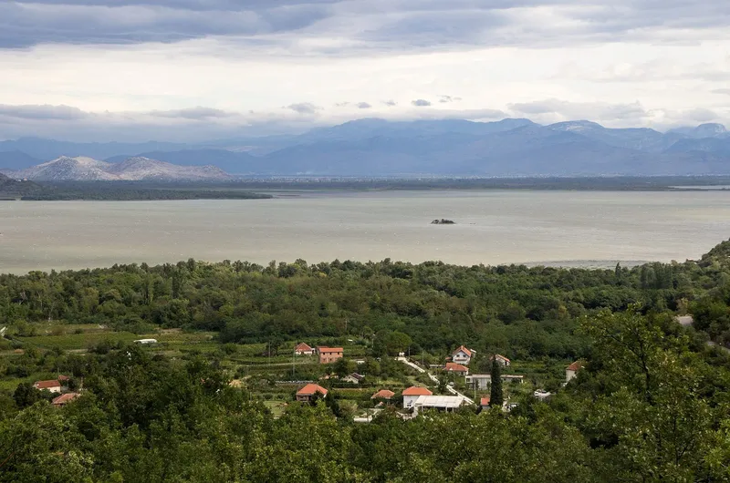
Čelobrdo is the viewpoint at the end of Jegorov put, the stone path that climbs from Miločer, next to Sveti Stefan, in Budva municipality. It is a classic photo spot, and the shortest route is trail 16, Miločer to Čelobrdo, 1.7 km and easy. The path was carved in stone over ten years by Jegor Stroganov, a one-armed Russian monk of Praskvica monastery, and the village of Čelobrdo stands on the slope above Miločer.
What you see
Čelobrdo stands on the slope above Miločer and Sveti Stefan, a classic spot for photographs.
How to get there
| Trail | Route | Length, grade |
|---|---|---|
| 16 | Miločer to Čelobrdo (Jegorov put) | 1.7 km, easy |
| 15 | Miločer via Praskvica and Čelobrdo to Ograđenica, joining the Orjen-Lovćen-Rumija transversal | 4.3 km, easy |
| 19 | Čelobrdo via Sv. Sava, Blizikuće, Drobnići and Sv. Srđ to Paštrovska gora | 10.6 km, easy then medium |
| 20 | Praskvica monastery to Sv. Sava | 1.7 km, easy |
The Budva tourist office publishes all its trails, with GPS tracks, in the free BudvaTrails app, which works online and offline. Download the track before you set off: the map marker shows the village of Čelobrdo, not the lookout itself. Trail 16 is the direct way up and back; trail 15 continues past the monastery to Ograđenica.
Jegorov put
The stone path from Miločer to Čelobrdo was cut over ten years by the monk Jegor Stroganov of Praskvica monastery, who had one arm. The monastery lies on trail 15, so the path and the monastery can be combined in one walk.

Other Budva viewpoints on the trail network
- Spila pass, 840 m: trail 5, Krapina via Kneževići to Spila, 5.0 km, moderate (easy as far as Kneževići); trail 6, Kraguvac via Đurđevac and Jarišta to Spila, 3 km, moderate.
- Đurđevac: trail 7, a 0.4 km easy path south of Stanjevići monastery to St George's church and a viewpoint.
See also the Brajići paragliding take-off above Budva, and the beaches below the viewpoint: Kraljičina plaža and Miločer in the Miločer park, Sveti Stefan beach on the isthmus.
Questions
How long is the walk? Trail 16 is 1.7 km and graded easy; the longer loops are 4.3 km (trail 15) and 10.6 km (trail 19).
Where does it start? At Miločer, between Pržno and Sveti Stefan, off the coast road.
Is there a map? The BudvaTrails app has every trail with GPS, online and offline.
Draft, not yet checked · How we check facts