Opatovo Beach
Sand and pebble · 200 m · Tivat
Photo: Alexkom000 · CC BY 4.0
- Length
- 200 m
- Water
- Clear
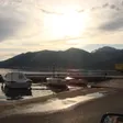
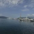
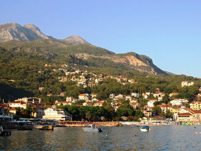
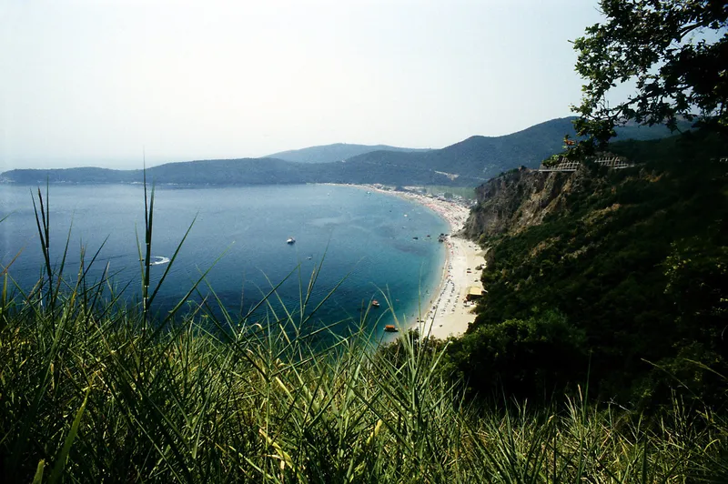
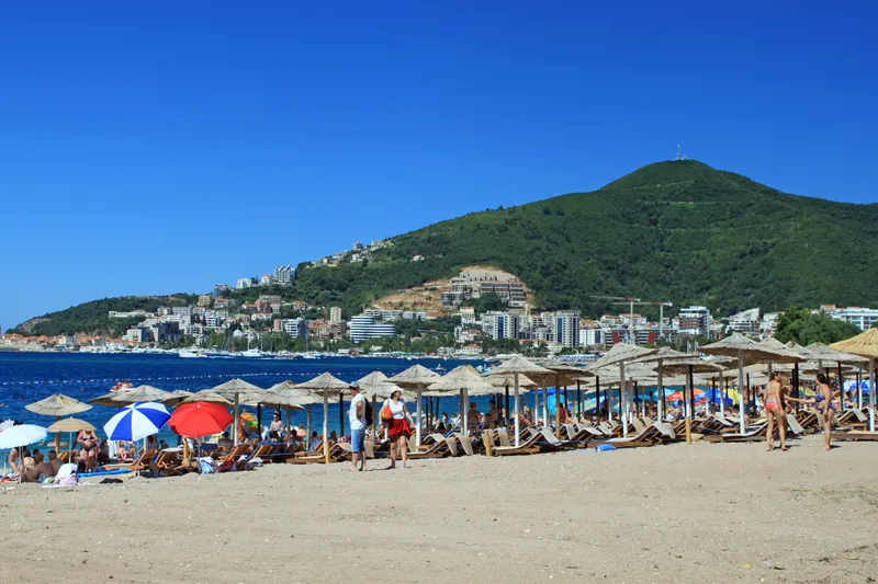
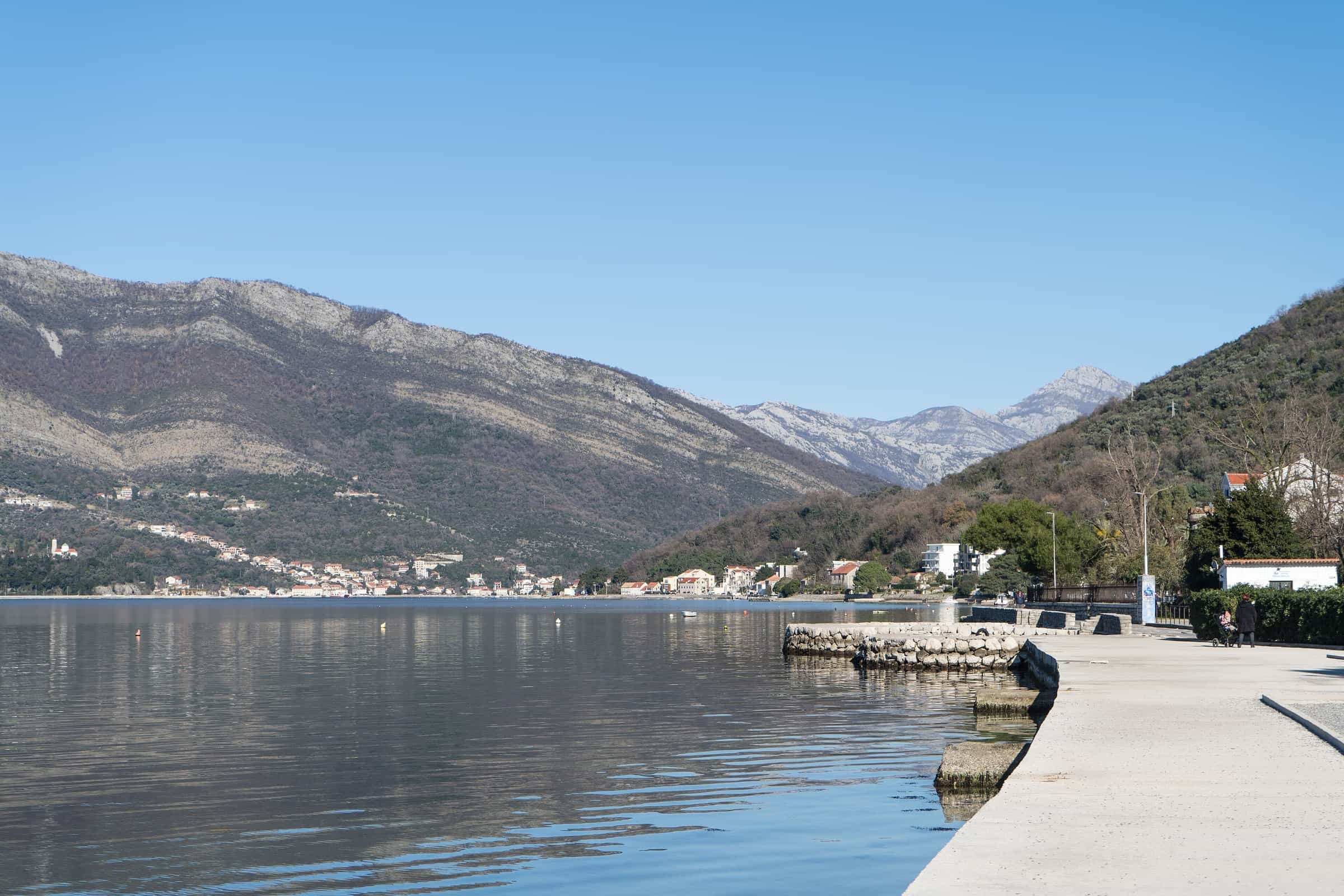
Opatovo is a beach of about 200 m, split in two by a small lighthouse, on the shore between Lepetane and Seljanovo about 3 km from the centre of Tivat, near the Lepetane ramp of the Kamenari-Lepetane ferry. It is a public beach with some natural shade, beach furniture and a dock, reached by car or by boat. The surface is pebble and sand.
Getting there
By car along the shore road from Tivat towards Lepetane, about 3 km from the centre. Coming from Herceg Novi, the Kamenari-Lepetane ferry lands at Lepetane near the beach: from Igalo the ferry route to Tivat is about 24 km and 42 minutes without the crossing itself, which takes about 15 minutes plus waiting. Opatovo can also be reached by boat; it has a dock.

The beach
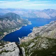
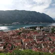
About 200 m in two halves either side of the lighthouse, with pebble and sand on the shore. The beach looks across the bay to Bijela; this is bay water, not open sea. There is some natural shade, and beach furniture is set out in season.
Loungers and the free half
Every public bathing area must keep half of its length free of loungers and umbrellas and mark it, with a free strip along the water and a passage to the sea at least every 20 m. Lifeguards are posted at least one per 50 m of shore in July and August and one per 100 m in the other months of the season, which runs from May to October, when the bathing water is also tested. No bathing area at Opatovo has held the Blue Flag.
Nearby
- Waikiki, the restaurant beach on the same shore towards Tivat.
- Kalardovo, the shallow sand beach by the airport, on the far side of town.
- Porto Montenegro and the town centre of Tivat.
Questions
Is Opatovo sand or pebble?
Both: pebble and sand.
How far is the ferry?
The Lepetane ramp of the Kamenari-Lepetane ferry is near the beach, on the same shore.
Sources
Morsko dobro, The Beaches of Montenegro (brochure), p. 43 · Morsko dobro, beach catalogue: Boka kotorska · Tourist Organisation Tivat: Beaches · JP Morsko dobro, Organizacija kupališta (bathing-area rulebook: free half, passages, lifeguards) · JP Morsko dobro, bathing water monitoring (season May-October) · Blue Flag Montenegro, flagged bathing areas by season · OSRM routing (car, OpenStreetMap data, ODbL; times without traffic)