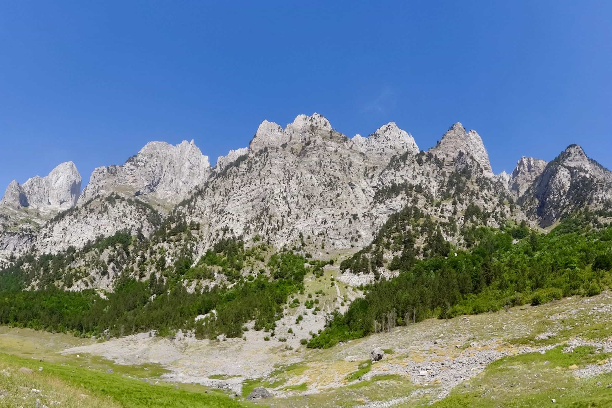
Ropojana Valley
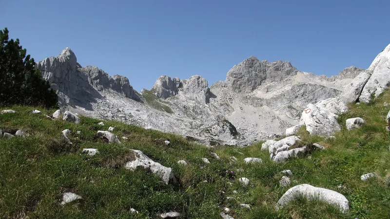
Glacial valley south of Gusinje through Vusanje to the Albanian border, in zone I of Prokletije National Park.
Gusinje, Prokletije National Park · Gusinje to the lake and back by bike about 23 km; short walks from the road to Grlja and Oko Skakavice
Photo: Bruno Rijsman · CC BY 2.0
Ropojana is the second of the two great glacial valleys of the Montenegrin Prokletije, running south from Gusinje through the village of Vusanje to the Albanian border inside Prokletije National Park. A road, asphalt to Vusanje and macadam beyond, leads 12 km from the town to Ropojansko jezero on the border, passing the Oko Skakavice spring and the 15 m Grlja waterfall on the way. It is far quieter than the Grebaje valley; the park ticket is €3 per person per day, and beyond Vusanje there is no mobile signal.
Key facts
| Valley | from Vusanje south to the Albanian border; inside Prokletije National Park, zone I (strict protection) |
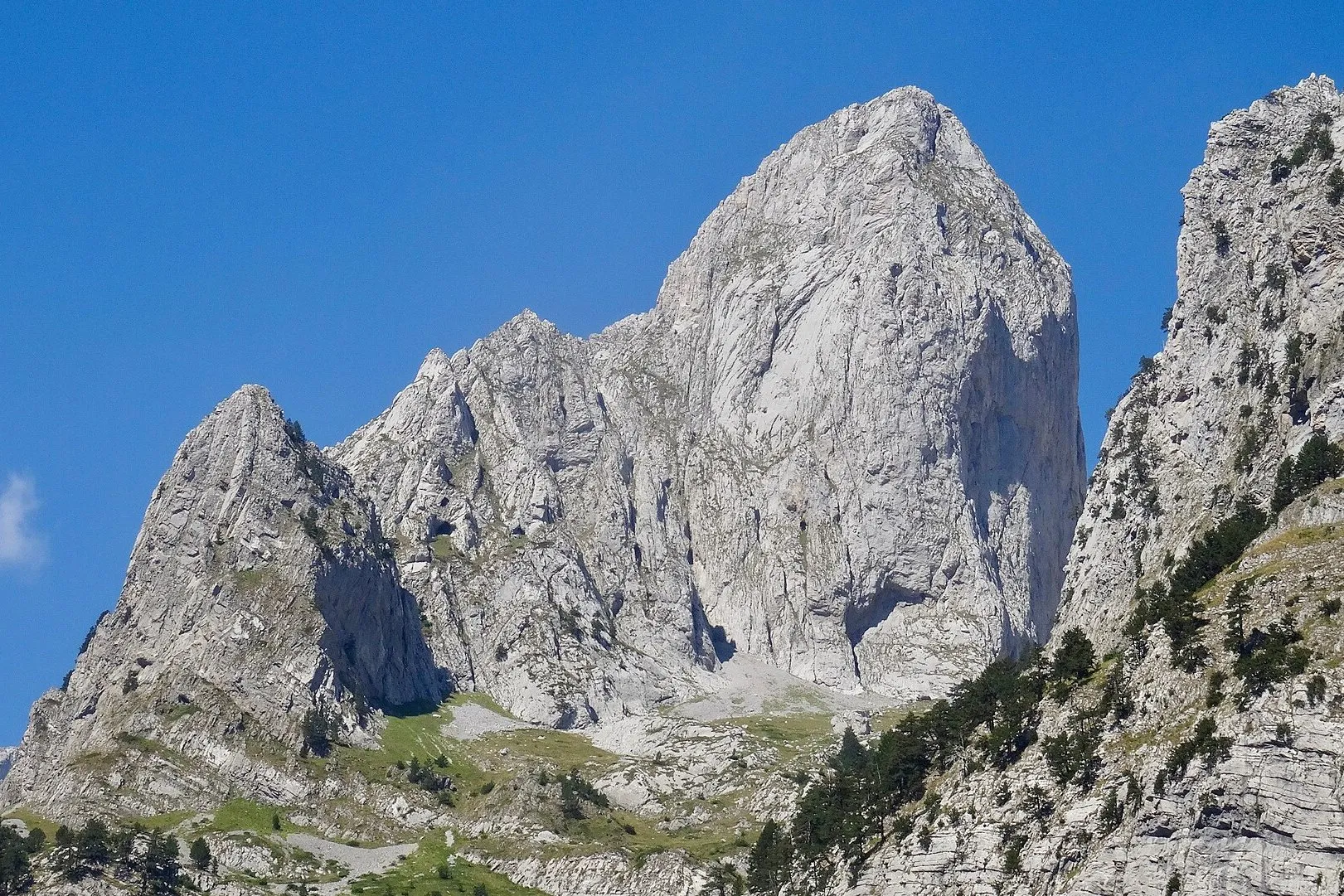
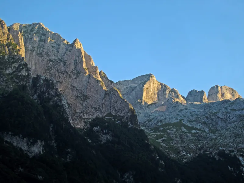
| Peaks above | Bjelič: Zla kolata 2,534 m, Dobra kolata 2,528 m, Rosni vrh 2,525 m |
| Oko Skakavice | karst spring at about 1,000 m, water about 5 °C |
| Grlja | waterfall of about 15 m at the entrance to the Grlja canyon; does not dry up |
| Ropojansko jezero | seasonal lake at 1,252 m on the border, 12 km from Gusinje; often dry in summer |
| Road | asphalt Gusinje-Ćosovići-Vusanje (5.5 km), then macadam up the valley |
| Bike route | Gusinje to the lake and back, about 23 km, 290 m of climb |
| Checkpoints | Ropojana (seasonal) and Zarunica in Vusanje |
| Entry | €3 per person per day; under 15 free |
| Mobile signal | none beyond Vusanje |
Getting there
From Gusinje the asphalt road runs through Ćosovići to Vusanje (5.5 km, about 9 minutes). It ends at a small bridge just past the village; from there a macadam road follows the old Peć-Shkodër caravan route up the valley. Spring floods often damage this road, so its state changes from year to year. Road distances from the centre of Gusinje, free-flow times:
| To | Distance | Time |
|---|---|---|
| Vusanje | 5.5 km | about 9 min |
| Grlja waterfall | 6.0 km | about 10 min |
| Oko Skakavice | 7.4 km | about 14 min |
| Ropojansko jezero | about 12 km | macadam, time not published |
Podgorica to Gusinje is 138.6 km, about 2 h 38. The park's bike route from Gusinje through Ćosovići and Vusanje up the valley to the lake and back is about 23 km with 290 m of climb, on asphalt and gravel. A roofed rest stop stands where the route enters the park, about 7 km from Gusinje; from the end of the road near the head of the valley, the lake is about 15 minutes on foot through beech wood. Whether cars may drive the macadam to the end, and where to park, is not published; ask at the checkpoint or the tourist office in Gusinje. Where the park charges for parking, a car pays €1 an hour.
Oko Skakavice
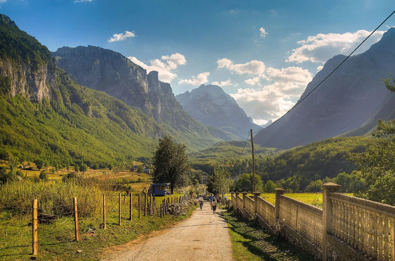
Oko Skakavice, also called Savino oko, is a karst spring hidden among trees at about 1,000 m, the source of the Skakavica stream and one of the strongest springs in Prokletije; its surface water is about 5 °C. It lies about 2.5 km upstream of the Grlja waterfall and is reached by a short forest path from a marked rock on the right of the road. The spring is a key micro-habitat for the park's reptiles.
Grlja waterfall and canyon
At the entrance to the Grlja canyon the Skakavica falls about 15 m as a single jet into a stone pot at the edge of a meadow, with a short canyon below. It does not dry up. A path through the meadow just past the bridge at the end of the asphalt leads to it, and a circular path links it with the Kusija waterfall. The Grlja canyon is also a canyoning route, and the park's list of marked trails includes Belić (Grlja waterfall, Rosulja); like all 13 marked trails in the park it is rated more demanding.
There is no barrier at the waterfall and the rock edges are often wet. Keep back from the drop.
Ropojansko jezero
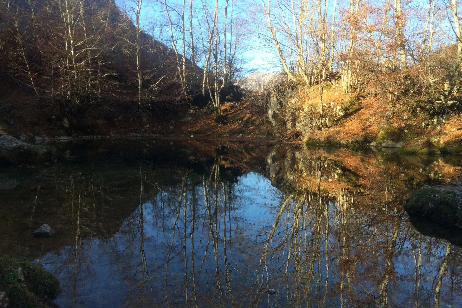
At the very end of the valley, about 4 km south-west of Oko Skakavice and about 12 km from Gusinje, lies Ropojansko jezero, also called Čamerikino jezero (Albanian Liqeni i Gjeshtarës), at 1,252 m on the Albanian border. It is a seasonal lake: at high water it spreads across the border and mirrors the Karanfili peaks; in summer it often dries out. At the high water of 2011 it covered 0.133 km² on the Montenegrin side, with an estimated depth of about 15 m. Apart from Hridsko jezero it is the largest of the park's glacial lakes. This is the furthest point of the valley, and beyond Vusanje the valley is deserted: carry a map or navigation and a torch, and do not go alone.
Nature and protection
The Ropojana area lies in zone I of the park, the strict protection zone. The valley is one of the park's most important bird habitats, together with Grebaje and Bogićevica, and its forests, like those of Hrid, show the signs of well-kept forest bird populations. The Greek frog and the fire salamander live in the valley, and the lake, the mouth of the Grlja and Oko Skakavice are key micro-habitats for reptiles. Camping is allowed only at designated paid places; wild camping in a national park is an offence.
Fees
| Item | Price |
|---|---|
| Park entry, per person per day | €3; under 15 free; groups of 20 or more half price |
| Parking, car | €1 per hour |
| Parking, off-road vehicle | €2 per hour |
| Parking, motorbike | €0.50 per hour |
| Parking, van | €3 per hour |
| Parking, bus | €5 per hour |
The day ticket includes the visitor centre and the educational paths. On the Gusinje side tickets are sold at Grebaje, at Ropojana and at Zarunica in Vusanje; the Ropojana checkpoint is seasonal.
When to go
Park visits run from May to October and peak in August; snow is possible even in summer. The lake often dries in summer, so come early in the season to see it full. The Grlja waterfall runs all year.
Safety
The park has no mobile base stations and the nearest network node is in Vusanje, so expect no signal in the valley. The Peaks of the Balkans trail continues from Vusanje through Ropojana into Albania; crossing the border needs prior notice to the border police. Beyond Vusanje the valley is deserted. The emergency number is 112.
Nearby
The Prokletije National Park page has the whole trail list and the other checkpoints; the Grebaje valley, the park's busiest part, opens from the same town. Gusinje is the base, Plav the next town, and the Prokletije page covers the range. Hridsko jezero is the park's other large glacial lake, reached from the Plav side. A three-day plan is in the Plav in 3 days itinerary; other walks are on the hiking page and other lakes on the lakes hub.
Questions
How far is Ropojansko jezero from Gusinje?
Ropojansko jezero is about 12 km from Gusinje by the valley road: asphalt through Ćosovići to Vusanje (5.5 km), then macadam to the head of the valley and about 15 minutes on foot through beech wood.
Does Ropojansko jezero have water?
Not always: Ropojansko jezero is a seasonal lake that often dries out in summer; at high water it spreads across the Albanian border and mirrors the Karanfili peaks.
How high is the Grlja waterfall?
The Grlja waterfall is about 15 m high, a single jet at the entrance to the Grlja canyon; it does not dry up, and there is no barrier at the edge.
How much does it cost to visit the Ropojana valley?
Visiting the Ropojana valley costs €3 per person per day for the park, free under 15 and half price for groups of 20 or more; where the park charges for parking, a car pays €1 an hour.
Is there a mobile signal in the Ropojana valley?
No, expect no mobile signal in the Ropojana valley: the park has no base stations and the nearest network node is in Vusanje. The emergency number is 112.
Highlights
- Glacial valley from Vusanje to the Albanian border, zone I of Prokletije National Park
- Oko Skakavice spring (about 1,000 m, 5 °C) and the 15 m Grlja waterfall
- Ropojansko jezero at 1,252 m, seasonal, 12 km from Gusinje
- Park entry €3 per person per day; no mobile signal beyond Vusanje
Hiking: more places


Sources
TO Gusinje: Doline (valleys) · TO Gusinje: Oko Skakavice · TO Gusinje: Vodopadi (waterfalls) · TO Gusinje: Rijeke i jezera · Water Administration, Register of waters of importance for Montenegro, July 2024, entry Ropojansko jezero, p. 72 · JPNPCG: Management Plan NP Prokletije 2026-2030 (PDF) · JPNPCG: Prokletije price list · JPNPCG: Decision on fees (consolidated text) · JPNPCG: Prokletije, active holidays (bike routes, peaks) · NTO: Prokletije National Park · NTO: Charming mountain towns (Gusinje, Savino oko, Grlja) · NTO: Hiking and trekking · Accursed Mountains, route GU03 Ropojana Valley (road, rest stop, Grlja, lake) · Law on National Parks (Sl. list CG 28/2014, 39/16), Art. 16 · Peaks of the Balkans, trail stages (Vusanje - Ropojana - Albania) · OpenStreetMap node 1624025795 Grlja waterfall, ODbL · OpenStreetMap node 2374930054 Oko Skakavice, ODbL · OpenStreetMap way 228829683 Ropojansko jezero, ODbL · Routes computed with OSRM on OpenStreetMap data (ODbL)