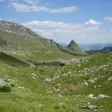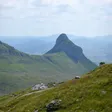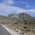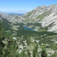
Bobotov kuk ascent
Bobotov kuk, 2,522 m, is the highest point of Durmitor National Park: a 12.72 km round trip from the Sedlo pass, about 3 h up and 2 h 30 down, or a full day from Žabljak past Black Lake.
Durmitor National Park, Žabljak · 3 h up, 2 h 30 down
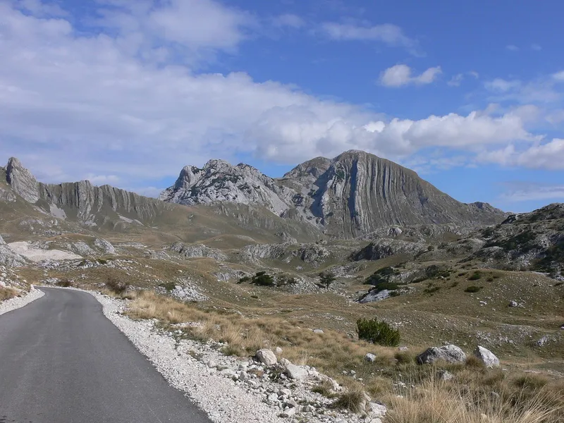
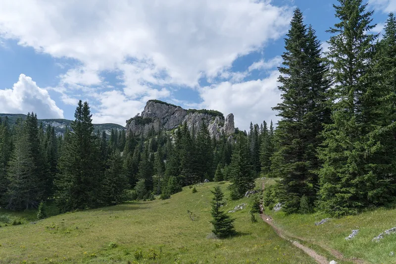
Photo: Emil Joanović · CC BY-SA 3.0
Bobotov kuk, 2,522 m (2,523 m on the park's own signs), is the highest point of Durmitor National Park and the highest peak lying entirely in Montenegro. The usual way up starts at the Sedlo pass, 14.3 km by road from Žabljak: a 12.72 km round trip, about 3 h up and 2 h 30 down, fully marked. Shorter is the climb from Dobri do (about 2 h 30 up); longer is the walk from Žabljak itself past Black Lake (about 5 h 20 up). The season runs from June to October depending on snow, and the park charges €5 per person per day.

Key facts
| Start | Up / down | Height gain | Marking |
|---|---|---|---|
| Sedlo pass, 12.72 km round trip | about 3 h / 2 h 30 | +616 m (+722 m on the trail page) | Fully marked, graded hard |
| Sedlo via Trojni prevoj | about 3 h 30 / 2 h 30 | - | Partly marked |
| Dobri do | about 2 h 30 / 2 h | +801 m | Fully marked |
| Dobri do via Ravne police | about 3 h / 2 h 30 | +723 m | Surutka section unmarked |
| Žabljak past Black Lake, or past Korita and the Ice Cave | about 5 h 20 / 4 h | +1,073 m | Fully marked |
| Škrka hut, between the Škrka lakes | about 3 h / 2 h 30 | +800 m | Fully marked |
Summit 2,522 m; Sedlo pass 1,907 m. The first recorded ascent is linked to the Austrian geographer Oscar Baumann in 1883.
From Sedlo
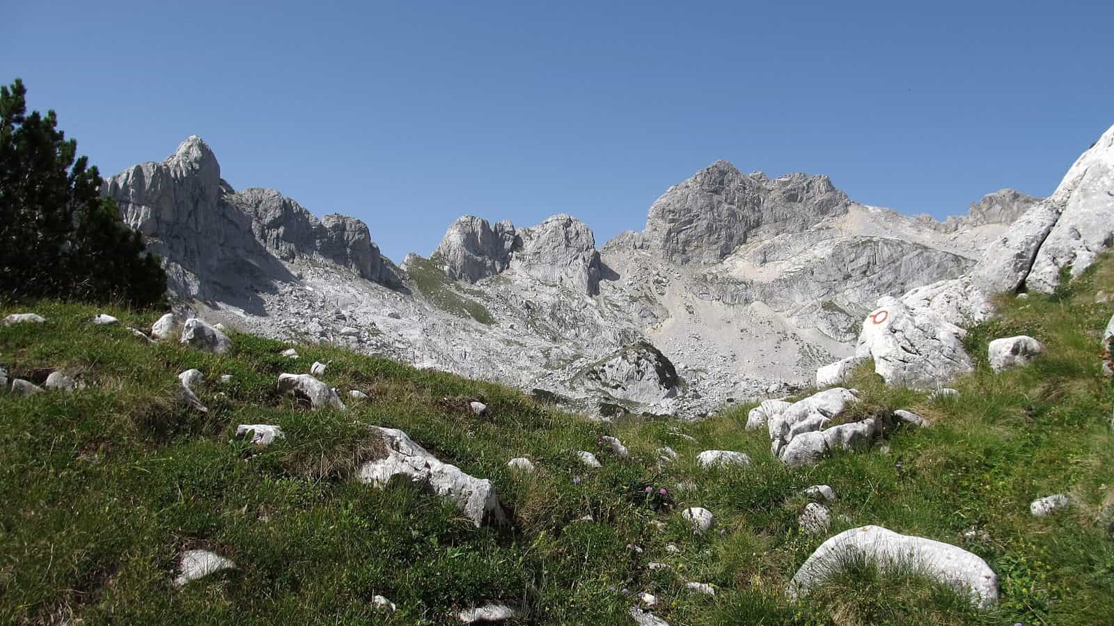
The Sedlo route is the shortest marked climb from a road and the most walked. The pass lies at 1,907 m, so the day starts high and the climb there and back is 12.72 km. The path is well marked and not technical, but it crosses scree and rocky ridges, so it needs firm footwear, good fitness and settled weather. A park ticket checkpoint stands at the pass. The park's own recommended line runs from Sedlo via Zeleni vir to Bobotov kuk.

Experienced hikers can turn the same start into the Heart of Durmitor loop over Đevojka, Bobotov kuk, the Bandijerna plateau and Uvita greda: 15.59 km, +1,314 m, between 1,907 and 2,526 m, graded demanding.
From Žabljak, Dobri do and Škrka
From Žabljak the summit is a full day without a car: about 5 h 20 up and 4 h down with 1,073 m of climbing, either past Black Lake or past Korita and the Ice Cave, both fully marked. Dobri do gives the quickest ascent, about 2 h 30 up and 2 h down (+801 m); the variant over Ravne police takes about 3 h and has an unmarked stretch at Surutka. From the Škrka hut between the two Škrka lakes it is about 3 h up with 800 m of gain.

Huts and shelters
- Škrka park hut, between Veliko and Malo Škrčko lake on the path to the summit: open from mid-June to the end of September; bring a sleeping bag.
- Kalice climbers' shelter, 2,020 m, between Šljeme and Savin kuk: 6 to 12 places, open all year.
- Lokvice shelter, 1,800 m: up to 20 people, open all year.
Camping is allowed only at the designated places, among them Škrka and Lokvice.
When to go
The season runs from June to October depending on snow, with July to September the best months. Snow and ice can stay on the upper sections, and the weather on the massif changes fast: do not set out in thunderstorms, poor visibility or unstable weather, and check the Žabljak forecast before you go.
Fees and guides
Entry to the park costs €5 per person per day, paid at ticket checkpoints including Sedlo, Black Lake and Ivan do. A park guide costs €40 for 4 hours or €80 for 8 hours. The full price list, with the Sušica hut at €10 per person per day, is on the Durmitor National Park page.
Getting there
| To the Sedlo pass by car | Distance | Time |
|---|---|---|
| Žabljak | 14.3 km | about 17 min |
| Šavnik | 26.3 km | about 32 min |
| Plužine | 34.8 km | about 42 min |
| Nikšić | 73.0 km | about 97 min |
Driving times without traffic or snow. The Sedlo route ends where it starts, so the car stays at the pass; the Žabljak routes need no transport at all. Buses to Žabljak from Podgorica, Nikšić, Pljevlja and Mojkovac are on the Žabljak page.
Safety
Scree and rocky ridges, fast weather changes and snow on the upper sections: go only in settled weather and firm footwear, and turn back when visibility drops. The emergency number in Montenegro is 112.
Nearby
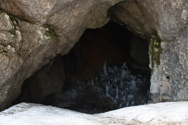
The summit stands in the central ridge of the Durmitor massif with Savin kuk and Šljeme. Black Lake and the Savin kuk viewpoint are reached from Žabljak; the other marked trails are on the Hiking in Durmitor page, and Prutaš and the Ice Cave have pages of their own. Rafting on the Tara leaves from the same town. More routes across the country: hiking in Montenegro.
Questions
How long does the Bobotov kuk hike take?
From the Sedlo pass about 3 h up and 2 h 30 down on a 12.72 km round trip. From Dobri do about 2 h 30 up and 2 h down; from Žabljak about 5 h 20 up and 4 h down.
What is the shortest way up Bobotov kuk?
From Dobri do, about 2 h 30 up with 801 m of gain. The Sedlo start takes about 3 h but is the most walked and has a road and a ticket checkpoint at the pass.
Is Bobotov kuk the highest peak in Montenegro?
It is the highest peak lying entirely in Montenegro, at 2,522 m. The country's highest point is Zla Kolata, 2,534 m, on Prokletije on the Albanian border.
Do I need a guide?
Every start except the Trojni prevoj and Ravne police variants is fully marked. The park offers guides at €40 for 4 hours or €80 for 8 hours; every route needs good fitness, and the Heart of Durmitor loop is meant for experienced hikers.
Highlights
- Summit 2,522 m, the highest point of Durmitor National Park
- From Sedlo: 12.72 km round trip, about 3 h up, 2 h 30 down
- From Žabljak past Black Lake: about 5 h 20 up, +1,073 m
- Season June-October, best July-September; park fee €5 a day
On these trips
- Žabljak in 3 days: Durmitor, summer and winterSummer · Day 2 · The Durmitor Ring by car: Sedlo, Trsa, Nedajno
- 7 days in Montenegro: coast to Durmitor loopDay 6 · Durmitor: Black Lake, the Durmitor Ring and Ćurevac
- 10 days in Montenegro: the full loop by carDay 9 · Durmitor: Black Lake, the Durmitor Ring and Ćurevac
Sources
TO Žabljak: Bobotov kuk, uspon na krov Durmitora (2.523 m), from Sedlo · TO Žabljak: Bobotov kuk, uspon na krov Durmitora, Ivan do-Žabljak · National Parks of Montenegro: Durmitor, active holidays · NTO: Hiking and trekking · National Parks of Montenegro: Durmitor price list · TO Žabljak: Bobotov kuk 2.523 m (peak page: routes, times, height gain, first ascent) · TO Žabljak: Heart of Durmitor loop od Sedla preko najviših vrhova · MONSTAT, Statistical Yearbook 2025, table 1-8 Mountain peaks over 1800 m (Bobotov kuk 2,522 m) · JPNPCG, Management Plan NP Durmitor 2026-2030 (ticket checkpoints) · eMontenegro routing (OSRM), car distance table to the Sedlo pass