Driving to Prokletije National Park?
Compare rental cars and pick-up points before you set off.
on Localrent

Montenegro's youngest national park (2009): 16,630 ha of Prokletije above Plav and Gusinje on the Albanian and Kosovo borders. Zla Kolata 2,534 m, the Grebaje and Ropojana valleys, Hridsko jezero. Entry €3 a day.
Plav / Gusinje
Prokletije National Park covers 16,630 ha of the Prokletije range in the far south-east of Montenegro, above Plav and Gusinje and along the borders with Albania (47.7 km) and Kosovo (2.8 km). Declared in 2009, it is the youngest of the five national parks and holds the highest ground of any of them: Zla Kolata, 2,534 m, on the Bjelič massif above the Ropojana valley. Entry is €3 per person per day, free under 15. The two valleys most visitors come for, Grebaje and Ropojana, open from Gusinje; the easy walk to Hridsko jezero starts on the Plav side.
 Jeep tour to Prokletije National parkfrom €356.42
 Prokletije (Popadija, Talijanka, Volušnica) Hiking TourRating 5 (1)from €251.66
 Sunset walking in NP Skadar lake from PodgoricaRating 5 (1)from €70
 Hum Orahovski and Grlo Sokolovo Hiking Tourfrom €207.35
Tours, ratings and prices: Viator.
All tours in Prokletije National Park
Six checkpoints sell tickets: Grebaje and Gradine all year, Ribljak, Ropojana, Zarunice and Hridska krivina in season. Tickets are also sold online at ulaznice.nparkovi.me. There are no fixed opening hours; the day ticket is bought on the way in and includes the visitor centre and the educational paths.
| Ticket | Price |
|---|---|
| Entrance, per person per day | €3 |
| Children under 15 | free |
| Organised groups of 20 or more | 50% off |
| Annual ticket for all five national parks (sold at park points only; valid to 31 December) | €13.50 |
| Mountain guide, 4 h / 8 h | €40 / €80 |
| Bike, per hour / per day | €3 / €8 |
| Snowshoes / poles, per day | €4 / €3 |
| Tent rental, per day | €8 |
| Tent pitch at a designated site / serviced camp space, per day | €3 / €20 |
| Fire at a designated place, per day | €5 |
| Parking, per hour: motorbike / car / off-road / van / bus | €0.50 / €1 / €2 / €3 / €5 |
Entry is free on 22 April, 21, 22 and 24 May, the second Sunday of June, 13 July and 31 July, Diaspora Day, which is the park's own day.
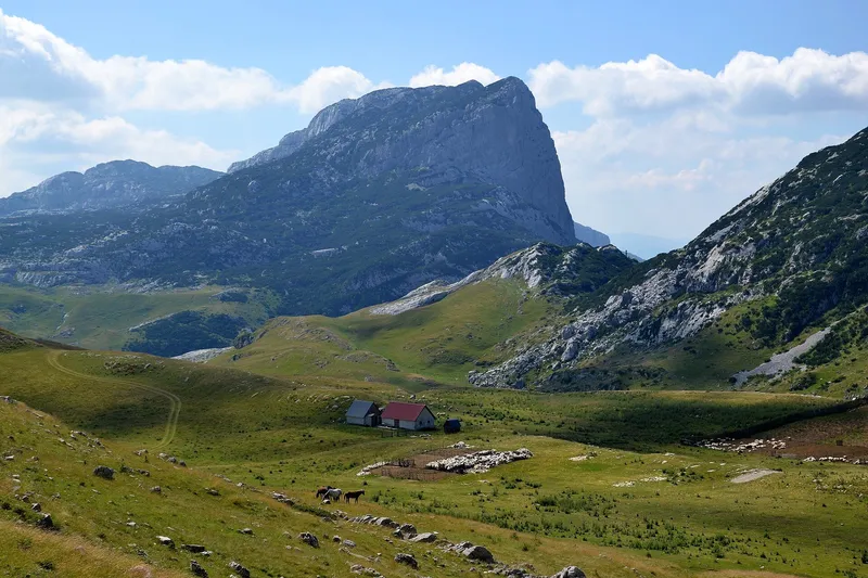
The Grebaje valley, at about 1,100 m above Gusinje, is the most visited part of the park and the base for hiking and climbing under the Karanfili, whose cliffs and summits reach about 2,460-2,490 m. Its checkpoint is the busiest and is open all year. Two mountain huts, Karanfil and Branko Kotlajić, stand in the valley, with private guesthouses and eco-katuns around them. The loop over Volušnica, Popadija and Talijanka, 10.2 km and about 5 h 30, passes the prehistoric carved slab known as Magna Mater. The road from Gusinje runs through the village of Dolja: about 6.9 km of asphalt, then about 1.5 km of gravel. The valley page has the trails, the huts and the history of climbing here.
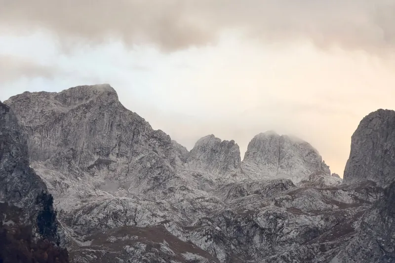
Ropojana runs south from Gusinje through the village of Vusanje. The lake at its head, Ropojansko or Čamerikino jezero, the largest glacial lake in the park, is about 12 km from the town; on the way are the Oko Skakavice spring and the Grlja canyon with its waterfall. Above the valley the Bjelič massif carries three summits a few metres apart in height: Zla Kolata 2,534 m, Dobra Kolata 2,528 m and Rosni vrh 2,525 m. Ali Pasha's Springs (Ali-pašini izvori), about 1.5 km from Gusinje, lie on the same side of the basin.

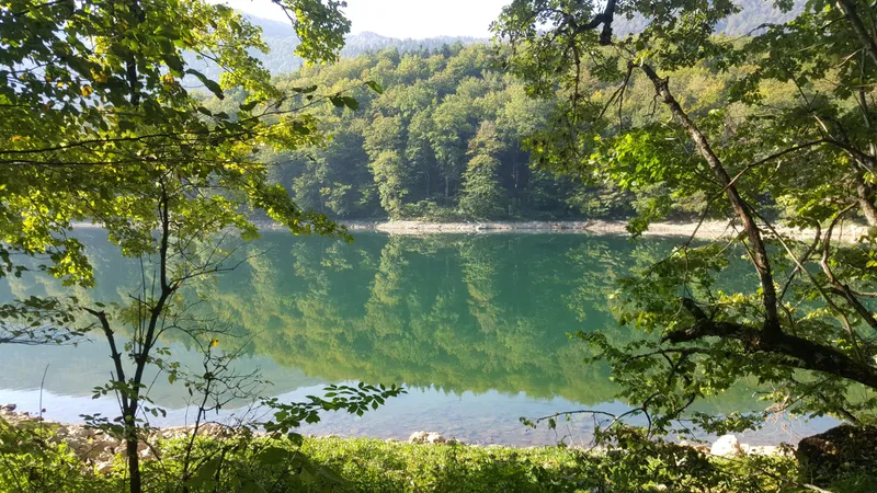
Hridsko jezero lies at 1,970 m in a nature reserve on the Plav side: 33,000-36,000 m² of water about 5 m deep, called the lake of happiness for the wishes made at it. The trail from Babino polje is 3.1 km one way, graded easy, about 1 hour; a longer loop continues over Bjelaja, Tromeđa and Ćafa Bogićes back to Babino polje. The Hrid mountain hut stands at Babino polje.
The park has 13 marked mountain trails with a total length of about 200 km, an average of 15.5 km each, and every one of them is graded demanding; the shorter Grebaje loop is graded medium and the Hridsko jezero walk easy. Trails lead to the Karanfili summits (Veliki vrh, Sjeverni vrh and Karanfil Ljuljaševića), Vezirova brada, Belić by the Grlja waterfall and Rosulja, the Kolata peaks, the Volušnica-Popadija-Trojan ridge, Bor from Kruševo and from Plav, Kofiljača and Maja Horolac, and Krš Bogićevica. The cross-border Peaks of the Balkans trail and the Via Dinarica both cross the park; the hiking hub lists guided options. Snow can lie on the high routes even in summer.
 SponsoredGuided hikeson Viator

Cyclists have five marked mountain-bike routes of 141 km in total, three of them starting in Plav. The easiest runs from Gusinje via Vusanje to Ropojana lake and back: about 23 km with 290 m of climbing, on asphalt and gravel.

Three mountain huts serve the park: Hrid at Babino polje, and Karanfil and Branko Kotlajić in the Grebaje valley, the second owned by a Belgrade mountaineering club. Private guesthouses and eco-katuns are concentrated in the same valley. Camping is allowed only at designated, paid places, at the rates in the table above, and the park rents tents, bikes, snowshoes and poles.
Plav is about 180 km from Podgorica by the M-9 through Kolašin, Andrijevica and Murino; the R-9 continues from Murino to Gusinje. There is no railway; the nearest station is Bijelo Polje, 73 km from Plav. Most tours start in Plav. The Grebaje valley is reached from Gusinje through Dolja, and Ropojana from Gusinje through Vusanje, about 12 km to the lake. Parking at the checkpoints costs €1 an hour for a car. Every marked trail is graded demanding, so inexperienced walkers should go with a licensed guide; the park's own guides cost €40 for 4 h or €80 for 8 h.

Visits run from May to October, with August the busiest month. The hiking season is June to the end of October, and snow is possible even in summer. Four of the six checkpoints are seasonal; only Grebaje and Gradine are staffed all year. 31 July, Diaspora Day, is the free-entry day.

Plav is the base town, on Plav Lake (906 m, 1.99 km²), the largest glacial lake in Montenegro and the source of the Lim. Visitor and Komovi are the neighbouring massifs. Biogradska gora National Park is reached through Andrijevica and Kolašin. All five parks are on the national parks hub.

€3 per person per day, free under 15, half price for groups of 20 or more. The €13.50 annual ticket covers all five national parks.
Zla Kolata, 2,534 m, on the Bjelič massif above Ropojana, is the highest point in the park. The Prokletije mountain page covers the peaks, the routes to them and the differing published heights.
Babino polje to Hridsko jezero (3.1 km, about 1 hour) is the one trail graded easy. Easier walking is also found on the floor of the Grebaje valley and around Plav Lake.
Not by rule, but every marked mountain trail is graded demanding and snow can lie into summer; inexperienced walkers should hire a licensed guide. The park's guides cost €40 for 4 h.
Compare rental cars and pick-up points before you set off.
JPNPCG, Management Plan NP Prokletije 2026-2030 (PDF) · JPNPCG, Prokletije price list · JPNPCG, Prokletije active holidays (trails, lakes, bike routes) · Law on National Parks (Sl. list CG 28/2014, 39/16) · Decision on fees for the use of national park goods, consolidated text · JPNPCG, online tickets and exemptions · JPNPCG, rules on filming, photography and drones (1 Jul 2026) · National Tourism Organisation, Prokletije National Park · National Tourism Organisation, Hiking and trekking · MONSTAT, Statistical Yearbook 2025 (lakes, peaks over 1,800 m) · Municipality of Plav, About Plav (area, Plavsko jezero, distances) · TO Gusinje, Tourist offer (Grebaje, Ropojana) · Gusinje-Plav: Grebaje (road through Dolja) · Nacionalni parkovi Crne Gore, annual ticket 2026 (prestopay)
Google Analytics counts visits without cookies. With your consent it also sets cookies that show us how the site is used. Nothing is used for advertising. Privacy