Kom Kučki ascent
Kom Kučki, 2,487 m, is the highest peak of Komovi; the marked route from the Štavna plateau is 7 km with 723 m of ascent and takes about 3 hours up, with an exposed summit ridge at the end.
Komovi, Štavna plateau, Kolašin municipality · About 3 h up (7 km)
Photo: Bjoertvedt · CC BY-SA 4.0
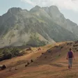
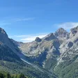
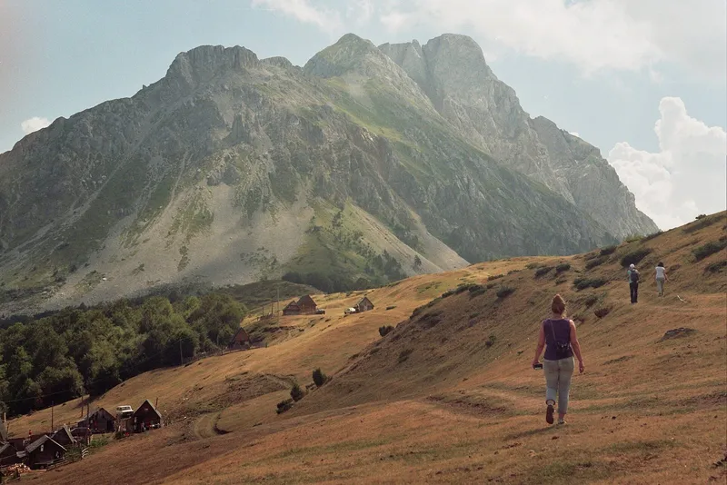
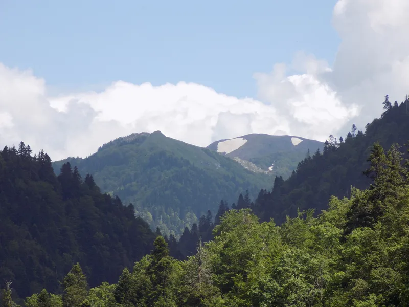
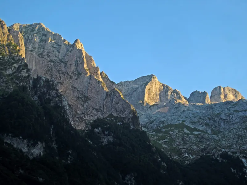
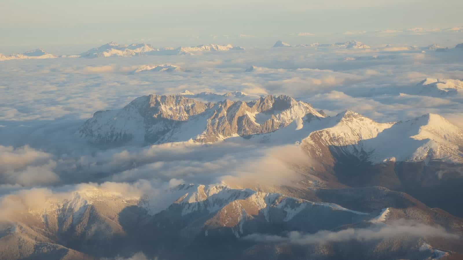
Kom Kučki (Kučki Kom in the Kolašin tourist office's listing), 2,487 m, is the highest of the three Komovi peaks and the one with the serious finish: a rock step and a narrow summit ridge with drops on both sides. The Kolašin tourist office gives the marked route from the Štavna plateau (1,764 m) in Kolašin municipality as 7 km with 723 m of ascent and about 3 hours to the top.
Key facts
| Summit | 2,487 m, highest of the Komovi massif |
| Start | Štavna plateau, 1,764 m |
| Length | 7 km |
| Ascent | 723 m |
| Time | about 3 h up |
| Grade | Teška I (hard I); high fitness |
| Marking | marked; water on the route; stamp box and logbook on the summit |
| Best season | summer and autumn |
The route
The first 1.8 km or so follow a gravel road shared with the Kom Vasojevićki ascent, to wooden rest shelters at the foot of that peak. From there about 4 km lead through the Međukomlje cirque to the Prevoj od Koma pass at 2,171 m; the Jankova voda spring is at the start of this section, which also crosses the largest scree field on Komovi, about 350 m across, below Kom Vasojevićki.

There is an alternative approach from the south-west, from the Carine katun; the tourist office gives no figures for it.
When to go
Summer and autumn. The tourist office warns that the danger on the ridge rises in bad weather and sudden strong wind, so a settled forecast matters more here than on most Montenegrin peaks.
Fees
No entrance fee or permit is published for Komovi.
Getting there
The start is the Štavna plateau at 1,764 m. Road access and distances from Kolašin or Andrijevica are not given on the route page; the katuns around Komovi are reached by gravel roads.

Safety
Two hazards named by the tourist office: a 3-4 m rock step with few holds, and a summit ridge about 50-60 m long and 1-1.5 m wide with loose stone and drops on both sides. Turn back in wind or cloud. The emergency number is 112.
Nearby
The same start serves the Komovi loop trail and the other two peaks. Bjelasica and Biogradska gora National Park lie to the north-west; more routes are on the hiking hub.
Questions
How hard is Kom Kučki?
Graded hard I by the tourist office: a walk until the pass at 2,171 m, then a short rock step and an exposed ridge to the summit.
How long does it take?
About 3 hours up for the 7 km; no descent time is given.
Is there a summit register?
Yes, a stamp box and a logbook on the top.
Highlights
- Summit 2,487 m, highest of Komovi
- 7 km and 723 m of ascent from Štavna
- Prevoj od Koma pass at 2,171 m
- Exposed summit ridge 50-60 m long