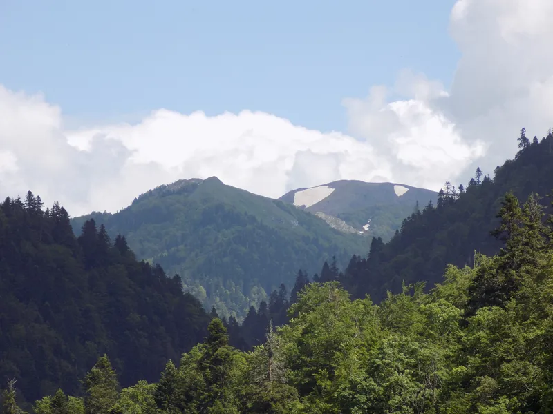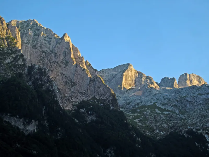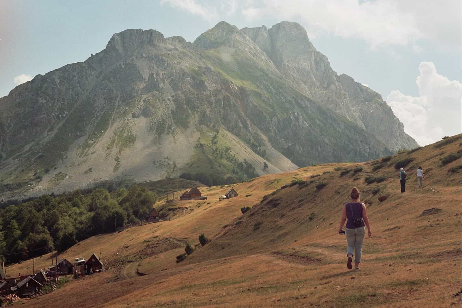
Komovi loop trail
A marked 18.8 km loop around the highest peaks of Komovi from the Štavna plateau at 1,764 m, with about 750 m of climbing and 6 h 30 of walking, without climbing a summit.
Komovi, Štavna plateau, Kolašin municipality · About 6 h 30 (18.8 km)
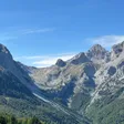
Photo: Vuk Pajković · CC BY-SA 4.0
The Komovi loop (Kružna staza oko Komova) circles the highest peaks of the Komovi massif without climbing any of them. The Kolašin tourist office gives it as 18.8 km with about 750 m of height difference and about 6 h 30 of walking, starting from the Štavna plateau at 1,764 m in Kolašin municipality.
Key facts
| Length | 18.8 km, loop |
| Height difference | about 750 m |
| Time | about 6 h 30 |
| Start | Štavna plateau, 1,764 m |
| Grade | Teška I (hard I); high fitness needed |
| Marking | marked; water on the route; no stamp box or logbook |
| Best season | summer and autumn |
The three legs
- Štavna katun to Ljuban, 5.2 km. The first 1.2 km or so are shared with the ascents of Kom Vasojevićki, Kom Kučki and Kom Ljevorečki; the path passes the Eko katun Martinović at 1,702 m. The highest point of the loop is the pass over the Ljuban plateau.
- Ljuban to Carine katun, 5.5 km.
- Carine katun to Štavna, 8.1 km.
The loop can be walked in either direction from Štavna. It can also be joined from the Ljuban, Rogama, Pričelje and Carine katuns, each reachable by gravel road. The tourist office lists no hazards on the route.

When to go
Summer and autumn, per the tourist office. The whole loop lies above 1,700 m.
Fees
No entrance fee is published for Komovi; the Via Dinarica sites describe it as a nature park, but no fee or ranger post is documented.
Getting there
The start is the Štavna plateau at 1,764 m. Road access and the distance from Kolašin or Andrijevica are not given by the tourist office; the katuns around the loop are reached by gravel roads.

Safety
Graded hard for its length and height gain rather than for exposure; the summit ascents that share its first kilometre are a different matter. Water is available on the route. The emergency number is 112.
Nearby
Komovi is on the Via Dinarica White Trail: stages 41 and 42 run from Biogradska gora via Bjelasica to Komovi and from Komovi to Vermosh. Bjelasica and Biogradska gora National Park are the neighbours to the north-west; more routes are on the hiking hub.
Questions
Does the loop go over a summit?
No. It circles the peaks; the summit ascents of Kom Kučki, Kom Vasojevićki and Kom Ljevorečki branch off within the first 1.2 km.
Which way round?
Either. The tourist office gives the legs as Štavna to Ljuban, Ljuban to Carine and Carine to Štavna, but says the loop works in both directions.
Is there water?
Yes, the tourist office lists water on the route; there is no stamp box or logbook.
Highlights
- 18.8 km loop, about 750 m of height difference
- Start at Štavna plateau, 1,764 m
- Three legs: 5.2, 5.5 and 8.1 km
- Marked, water on the route, no summit