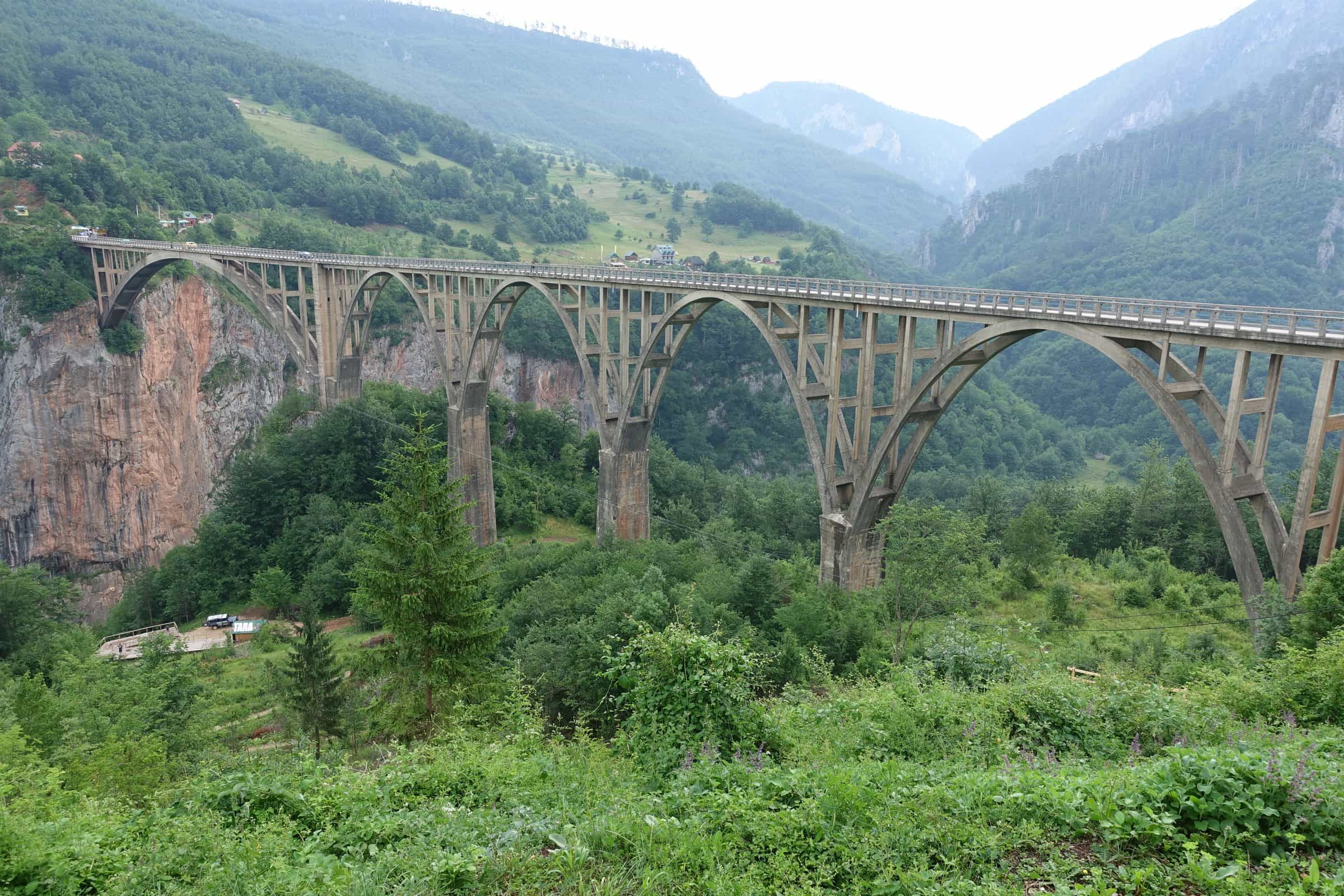
Đurđevića Tara Bridge
A five-arch reinforced-concrete road bridge of 1938-1940 over the Tara canyon, 365 m long, at the junction of the roads from Žabljak, Mojkovac and Pljevlja
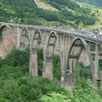
Reinforced-concrete road bridge on five arches · Built 1938-1940, repaired 1946 · Đurđevića Tara
Photo: David Jones from Isle of Wight, United Kingdom · CC BY 2.0
The Đurđevića Tara Bridge (Most na Đurđevića Tari) carries the road over the Tara canyon at Đurđevića Tara, where the roads from Žabljak, Mojkovac and Pljevlja meet, 23 km by road from Žabljak, about 32 minutes by car. The engineer Mijat Trojanović designed it and it was built in 1938-1940: a reinforced-concrete road bridge 365 m long on five arches, the main arch spanning 116 m, over a canyon more than 150 m deep.
The bridge
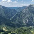
When it was finished in 1940, the bridge was counted as the largest reinforced-concrete road bridge in Europe. The canyon beneath it lies in Durmitor National Park, a UNESCO World Heritage site. The Tara canyon runs for 78 km, from the mouth of the Bistrica to Šćepan Polje, and is more than 1,000 m deep.
- 365 m length
- 116 m span of the main arch
- 5 arches
- 1940 completed
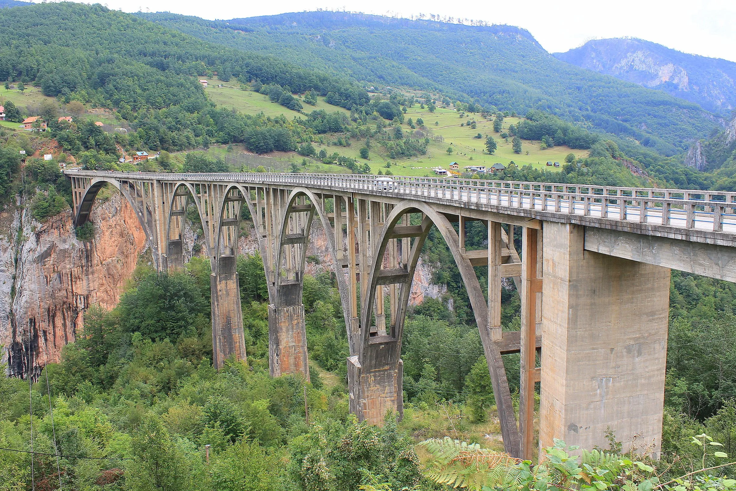
1942 and Lazar Jauković
In 1942 partisans brought down the last small arch, 44 m long, to stop enemy forces entering Montenegro. The civil engineer Lazar Jauković, who had worked on building the bridge, carried out the demolition and was shot on the bridge by Italian forces. Local people raised a monument to him near the bridge, where he is also buried. The bridge was repaired and reopened to traffic in 1946.
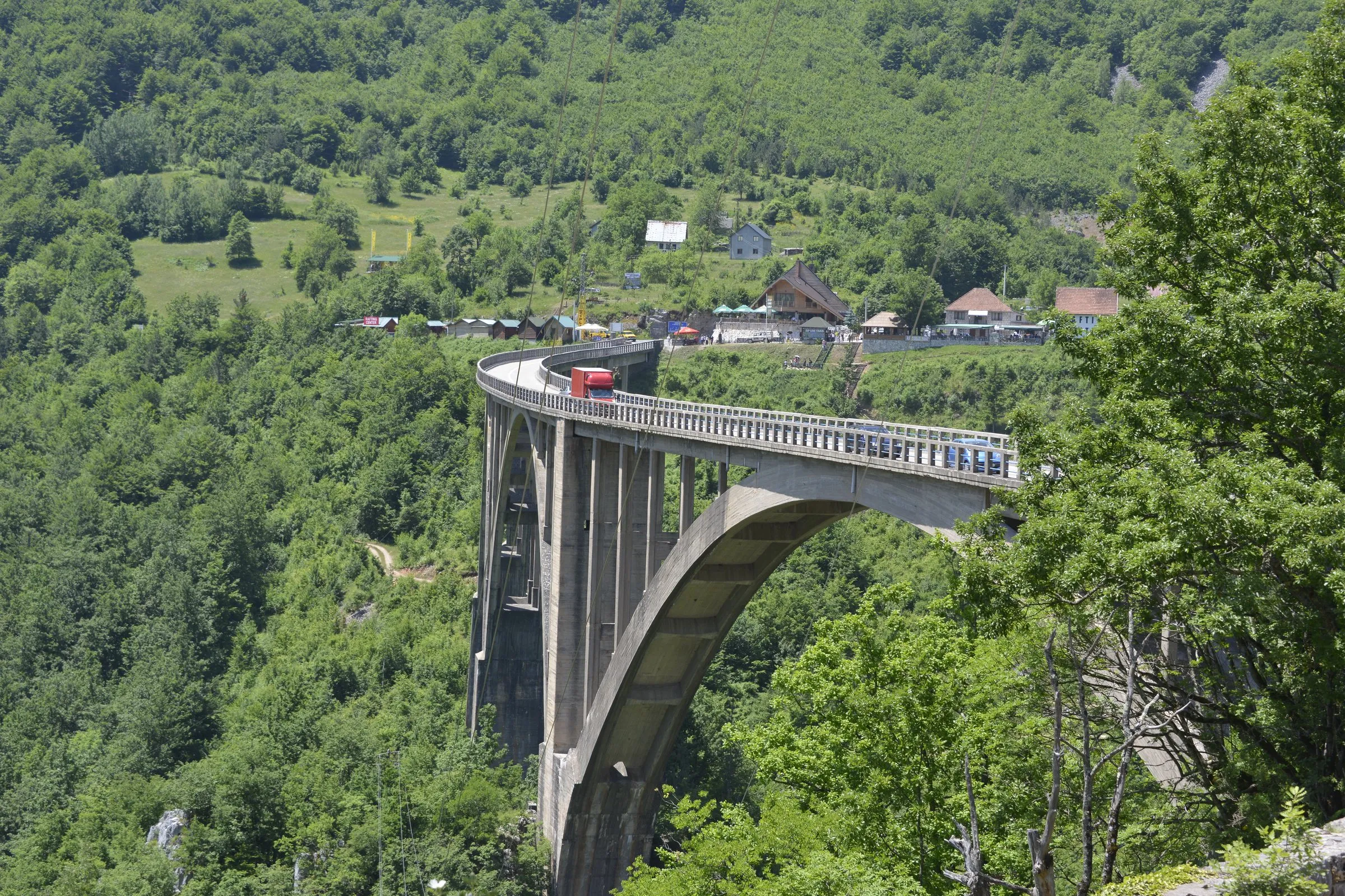
Zip lines at the bridge
Zip lines cross the canyon at the bridge. The operator Durmitor Adventure names three lines there: Red Rock, the yellow Montenegro Zip Line and the green Tara Zipline (Extreme). No advance booking is needed. The zip line at Đurđevića Tara page gives the lengths and heights of the yellow and green lines, and rafting on the Tara covers the river trips through the canyon.
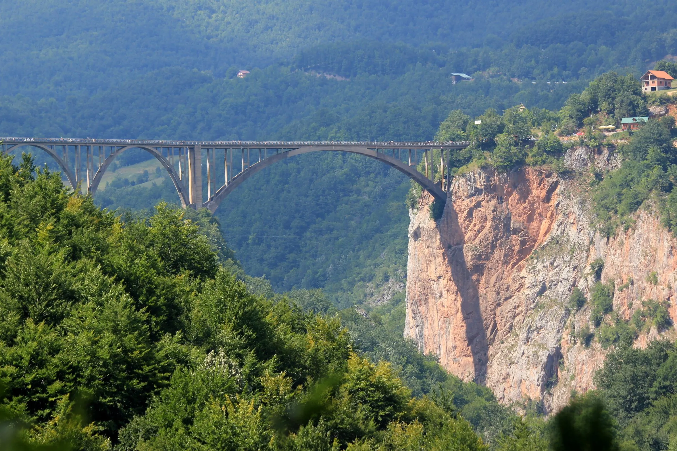
Getting there
The bridge stands at the junction of the roads from Žabljak, Mojkovac and Pljevlja. Times are without traffic.
| From | Distance | Driving time |
|---|---|---|
| Žabljak | 23 km | about 32 min |
| Pljevlja | 37.2 km | about 45 min |
| Mojkovac | 47.1 km | about 1 h 12 min |
Good to know: The bridge is part of the public road between Žabljak, Mojkovac and Pljevlja. Before you set off, check the road conditions page for closures or restrictions on this road and on the mountain roads that lead to it.
Nearby
- Ćurevac, the viewpoint above the Tara canyon on the Žabljak side.
- Durmitor National Park, with its lakes and peaks.
- Black Lake by Žabljak.
- The Tara, the river under the bridge.
- Pljevlja and Mojkovac, the towns at the other ends of the road.
Questions
How long is the Đurđevića Tara Bridge?
The Đurđevića Tara Bridge is 365 m long and rests on five arches, the main one spanning 116 m, over a canyon more than 150 m deep.
When was the Đurđevića Tara Bridge built?
The Đurđevića Tara Bridge was built in 1938-1940 to a design by Mijat Trojanović; one arch was brought down in 1942 and the bridge reopened to traffic in 1946.
How far is the Đurđevića Tara Bridge from Žabljak?
The Đurđevića Tara Bridge is 23 km by road from Žabljak, about 32 minutes by car.
Why was the Đurđevića Tara Bridge blown up in 1942?
The Đurđevića Tara Bridge lost one arch in 1942, when partisans brought down its last small arch, 44 m long, to stop enemy forces entering Montenegro.
History
1938-1940
Construction
Built to a design by the engineer Mijat Trojanović; on completion in 1940 the largest reinforced-concrete road bridge in Europe.
1942
One arch destroyed
Partisans bring down the last small arch, 44 m long, to stop enemy forces entering Montenegro. The engineer Lazar Jauković, who carried out the demolition, is caught and shot on the bridge by Italian forces.
1946
Reopened
The bridge is repaired and reopened to traffic.
More monuments
Nearest by road first


Sources
Tourist Organisation of Žabljak, Rijeke i kanjoni (built 1938-1940, Mijat Trojanović, five arches, main arch 116 m, 1942 demolition, Lazar Jauković, 1946 reopening, canyon depth) · Tourist Organisation of Pljevlja, Most na Đurđevića Tari: vječita inspiracija (365 m, completed 1940, largest reinforced-concrete road bridge in Europe, junction of Mojkovac, Žabljak and Pljevlja) · Tourist Organisation of Pljevlja, Kanjon rijeke Tare (five arches, first span 116 m, canyon 78 km long, 1,000-1,300 m deep) · National Tourism Organisation of Montenegro, Durmitor National Park (Tara canyon 78 km from the mouth of the Bistrica to Šćepan Polje) · Durmitor Adventure, Tara ziplines (operator, three lines, no booking needed) · OpenStreetMap way 839466645, ODbL · OSRM routing (OpenStreetMap data, ODbL)