Mrtvica
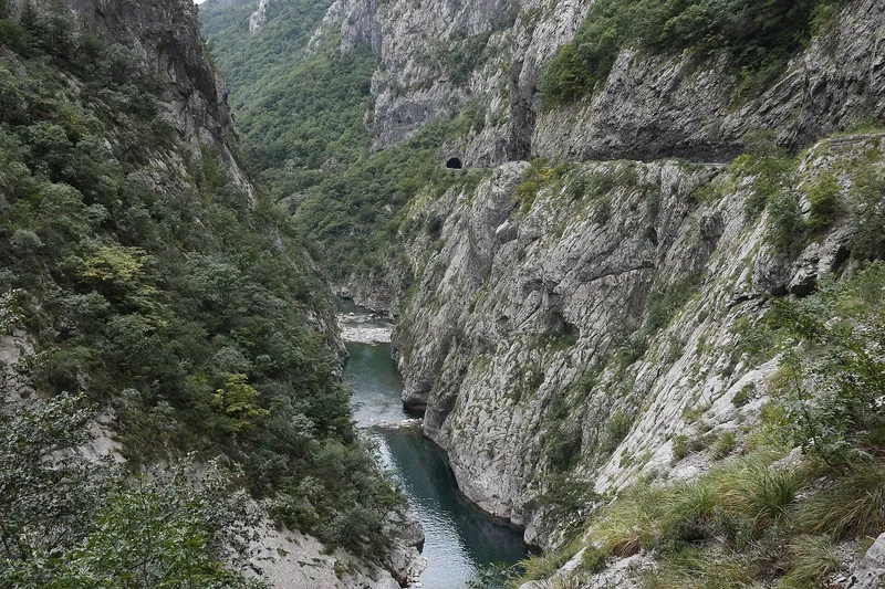
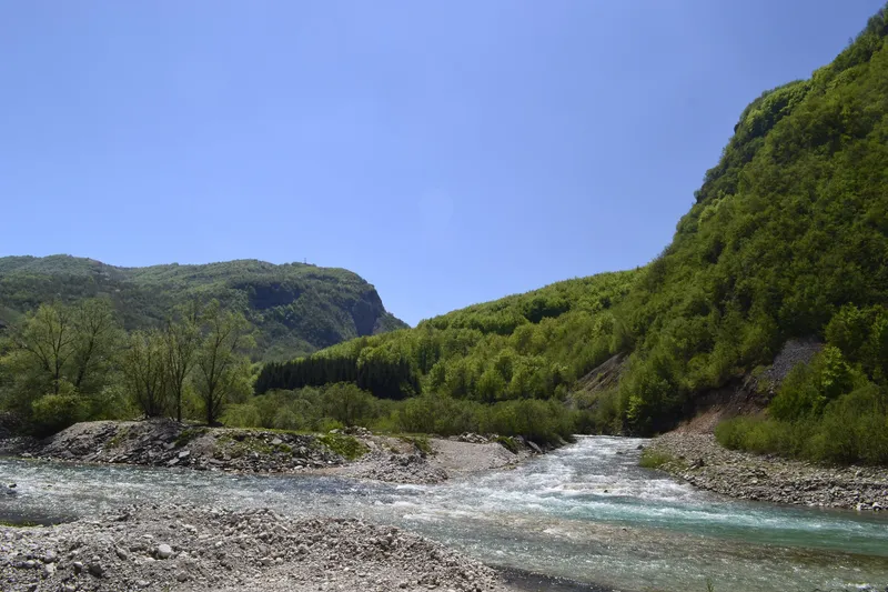
A short Morača tributary with Montenegro's second deepest canyon, about 10 km long and 1,250 m deep: a footpath, the Zeleni vir pool, the Gate of Wishes and a stone bridge from 1858.
Central Montenegro · Canyon tributary
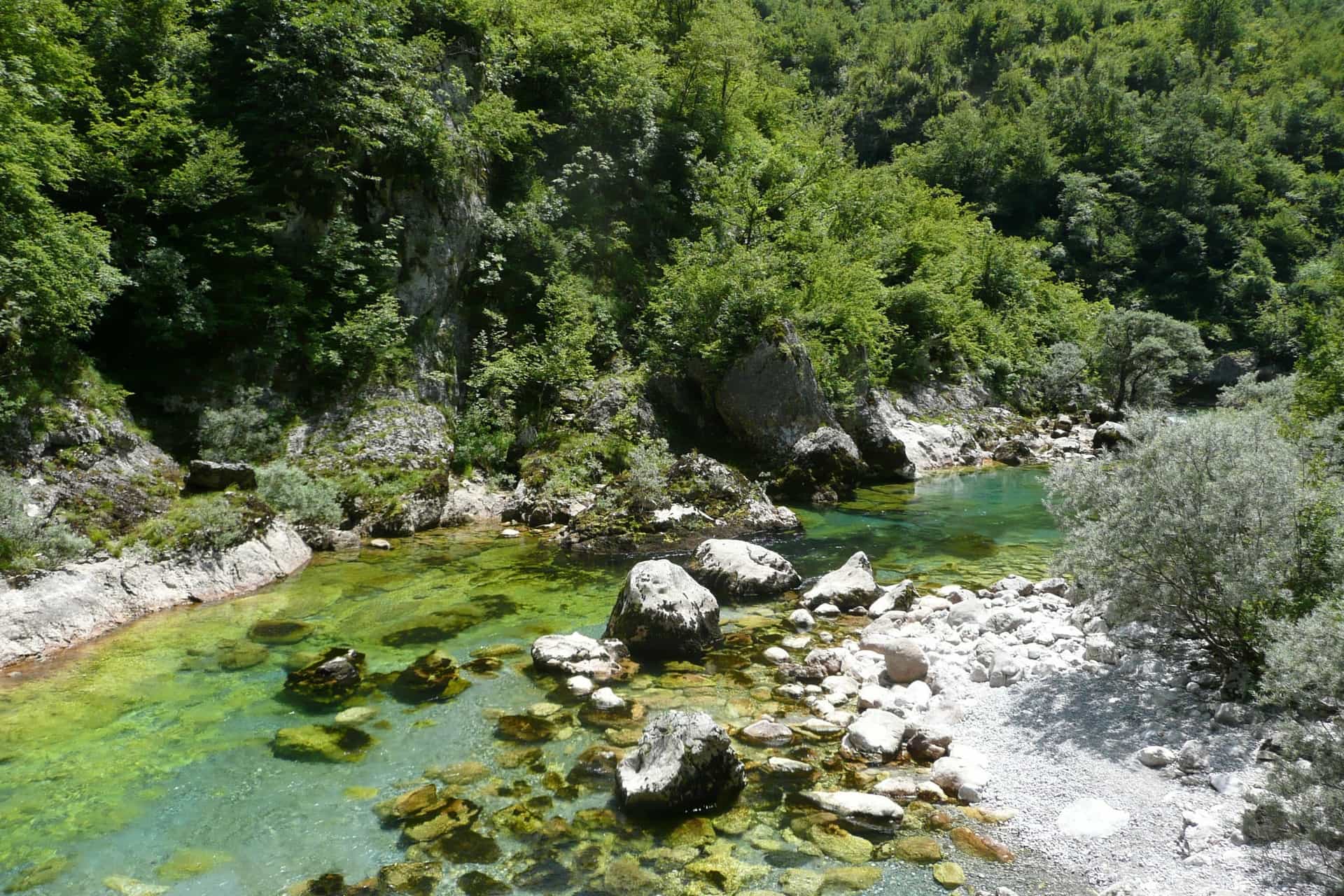
Photo: dustedmtl · CC BY-SA 2.0
- Canyon depth
- 1,250 m
- Canyon length
- 10 km
The Mrtvica is a tributary of the Morača in Kolašin municipality, and the canyon to walk rather than drive: about 10 km long and about 1,250 m deep, the second deepest in Montenegro after the Tara. It joins the Morača at Međuriječje, about 30 km from Kolašin on the old road towards Podgorica, and from there a marked footpath follows the river upstream for 6.6 km to the spot called Plaža, about 2 hours one way, past a stone bridge of 1858, the Zeleni vir pool and the rock arch called the Gate of Wishes. The water holds brown trout, fished catch-and-release from May to October.

Course and canyon
With the Mala Rijeka, the Mrtvica is one of the Morača's two main tributaries in its upper course. Its canyon lies below the Maganik and Tali mountains and forms the western edge of the Moračke planine; the cliffs on both sides of the path rise 600 to 700 m, and the canyon as a whole is about 1,250 m deep. The named points along the river are Zeleni vir, the Gate of Wishes (Kapija želja), a natural rock arch with a legend about a fairy of Maganik who grants a wish to those who pass through it, a beach about halfway, and the springs Jama, Zvona, Rikavac and Bijeli Nerini in the lower canyon.

Walking the canyon
The marked trail starts at the car park below Međuriječje (190 m) and ends at Plaža (586 m): 6.6 km, about 2 hours one way, graded easy (Lagana III), with a climb of about 396 m; the round trip of about 13 km is moderately demanding. The season is spring, summer and autumn, and spring is the best of them, for the water level and the greenery. Part of the path runs through a passage blasted through the rock in 1973, when General Danilo Jauković, local people and the army cut it to link Mrtvo Duboko with Velje Duboko. Beyond Plaža the footpath continues up the canyon towards Velje Duboko; the whole path through the canyon is about 12.5 km. A longer and more remote route links the Lukavica valley, Kapetanovo jezero, the Mrtvica canyon and the Gate of Wishes. The full route description is on the Mrtvica canyon trail page.

The bridge of 1858
Within the first kilometre upstream, at Zeleni vir, the stone bridge Danilov most crosses the river. Prince Danilo Petrović built it in 1858 in honour of his mother Krstinja. A second bridge comes further up the canyon.
Swimming
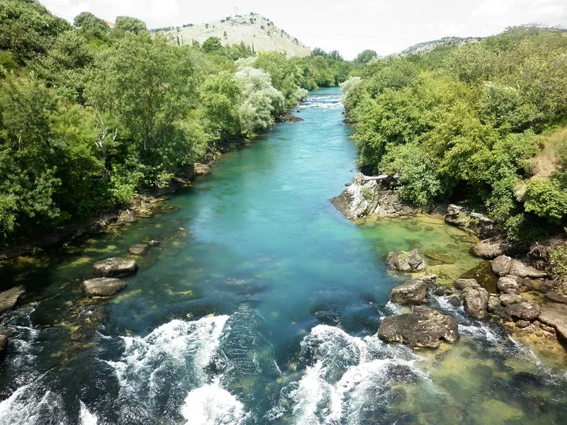
Zeleni vir and the beach halfway are the places where walkers stop by the water. Plaža is the name of a spot on the river, not a managed bathing place.

Fishing
The Mrtvica canyon is a fly-fishing zone for brown trout, open from May to October and catch-and-release only, with daily permits from the local club. Under the national order of 2026 (Sl. list CG 75/2026, in force 11 June 2026) all Tara and Morača tributaries in Kolašin are closed to fishing until 1 April 2027, with the exception of the Mrtvica from Sastavci to Bijeli Nerini; in Kolašin waters all trout are closed from 1 November to 15 March and grayling from 1 March to 1 June, and sport fishing at night is banned everywhere. Zones and gear rules are on the fly-fishing page.
Protection
In 2023 Kolašin municipality drafted a decision to protect the canyon and its surroundings as a nature park, Park prirode Rijeka Mrtvica sa okolinom, category IV, of 7,322.06 ha in the cadastral areas Velje Duboko i Liješnje, Osreci, Međuriječje, and Vlahovići i Bulatovići. The draft's zone II covers the Mrtvica and Morača watercourses, the Mrtvičke grede section of the canyon with its canyon beech and the munika pine stands on Maganik, and would ban fishing from 1 October to 1 May; the draft lists Adriatic brown trout (Salmo farioides) in the river.

Getting there
- By car: about 30 km from Kolašin on the old main road towards Podgorica, past the Morača Monastery. At Međuriječje a sign on the right leads down to the car park where the marked trail begins.
- From Podgorica: the same old road up the Morača valley.

Nearby
Maganik rises on one side of the canyon and the Moračke planine on the other; the range can be entered through the canyon. The Morača Monastery of 1252 is on the same road from Kolašin, and the Morača page covers the river the Mrtvica joins. Other marked walks are on the hiking page.
Questions
How deep is the Mrtvica canyon?
About 1,250 m, the second deepest in Montenegro after the Tara; the cliffs beside the path are 600 to 700 m high.
How long is the walk?
6.6 km from Međuriječje to Plaža, about 2 hours one way; about 13 km there and back. The whole footpath through the canyon is about 12.5 km.
Can you swim in the Mrtvica?
Zeleni vir and the beach halfway are the stopping points by the water; neither is a managed bathing place.
Who built the stone bridge?
Prince Danilo Petrović, in 1858, in honour of his mother Krstinja.
Route
- 1
Stone bridge at Zeleni vir
Danilov most, built 1858 by Prince Danilo, within the first kilometre of the canyon.
- 2
Confluence with the Morača
The Mrtvica joins the Morača at Međuriječje, the trailhead.
Activities
- FishingMay-October, catch-and-release (NTO Mrtvica canyon zone) · permit required
Things to do
Canyon walk
Marked trail of 6.6 km from Međuriječje to Plaža, about 2 h one way, past Zeleni vir, the bridge of 1858 and the Gate of Wishes.
Fly fishing
Brown trout, May-October, catch-and-release.
Fish species
- Brown trout
Bridges
- Danilov most at Zeleni vir (1858, Prince Danilo)
On these trips
Sources
Tourist Organisation of Kolašin, Canyons · Tourist Organisation of Kolašin, Kanjon Mrtvica (trail) · Tourist Organisation of Kolašin, What to do in Kolašin this spring (17 March 2026) · Tourist Organisation of Kolašin, Moračke planine · Water Administration of Montenegro, Registar voda od značaja za Crnu Goru, 2nd ed. (July 2024), entry Morača (p. 8) · National Tourism Organisation of Montenegro, Fly fishing · National Tourism Organisation of Montenegro, Hiking and trekking · Ministarstvo poljoprivrede, šumarstva i vodoprivrede, Naredba o ribolovnim zabranima, lovostaju i minimalnim veličinama riba (Sl. list CG 75/2026), Art. 2-3 · Municipality of Kolašin, draft decision (2023) declaring Park prirode Rijeka Mrtvica sa okolinom (PDF) · photomontenegro.me, Kanjon Mrtvice (full footpath length) · OpenStreetMap contributors (ODbL 1.0), Mrtvica river line, retrieved 15 October 2026 (source point only)