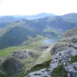
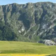
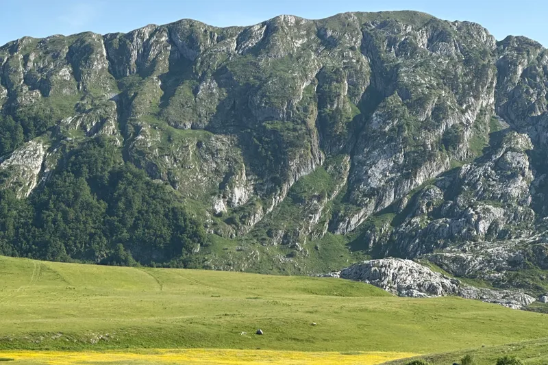
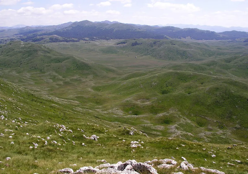
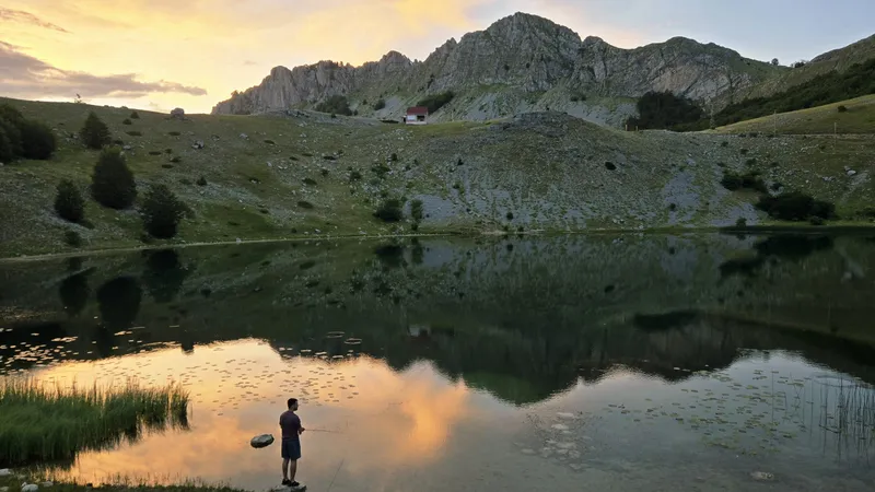
Maganik is the limestone massif south of the Moračke planine, between the Morača and the Mrtvica canyon, with Međeđi vrh at 2,139 m and Petrov vrh at 2,123 m. It holds the deepest cave pit in Montenegro, Željezna jama at 1,027 m, and a mountain hut with 36 beds at 1,356 m in Kolašin municipality. The marked walk at its foot is the Mrtvica canyon trail from Međuriječje, about 30 km from Kolašin: 6.6 km one way, about 2 hours, easy grade, between cliffs of 600 to 700 m. The summits are high karst for experienced parties with a guide.
Key facts
| Highest peak | Međeđi vrh, 2,139 m |
| Second peak | Petrov vrh, 2,123 m |
| Hut | Maganik, 1,356 m, 36 beds, WC and kitchen, Kolašin municipality |
| Caving records | Željezna jama, 1,027 m, the deepest pit in Montenegro; NYX on Trešteni vrh, 429 m, the deepest vertical |
| Marked walk | Mrtvica canyon trail: 6.6 km one way, about 2 h, Lagana III, from Međuriječje |
| Canyon | about 10 km long, about 1,250 m deep, cliffs of 600-700 m |
| From Kolašin | about 30 km to Međuriječje on the old road towards Podgorica |
| Emergency | 112, which covers mountain rescue |
Where it is
Maganik's craggy peaks close the Moračke planine on the south; the Morača bounds that range on the north-east and east and the Mrtvica canyon on the west, so Maganik sits in the angle between the two rivers. The canyon lies below Maganik and the Tali mountains and runs about 10 km down to Međuriječje, where the Mrtvica joins the Morača on the old Podgorica-Kolašin road. The summit, Međeđi vrh, is in Kolašin municipality.

Peaks
- Međeđi vrh, 2,139 m: the highest point
- Petrov vrh, 2,123 m
- Trešteni vrh: the peak with the NYX cave and its 429 m vertical
The hut
The Maganik hut stands at 1,356 m in Kolašin municipality, with 36 beds, a toilet and a kitchen, and is the base for the summits. Ask the Kolašin tourist office or a mountaineering club about keys and opening before you count on it.
Caves
Two national caving records are on Maganik. Željezna jama, the Iron Pit, is the deepest pit in Montenegro at 1,027 m, and the NYX cave on Trešteni vrh has the deepest single vertical, 429 m. Neither is a show cave: Lipa Cave near Cetinje is the only cave in the country open to organised tourist visits, and entering any other needs permission from the Environmental Protection Agency, an experienced caving guide and an expedition purpose. Show caves are on the caves page.
The Mrtvica canyon walk
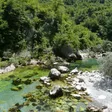
The marked trail starts at the signposted car park below Međuriječje, 190 m, and follows the river up the canyon to the spot called Plaža, 586 m: 6.6 km one way, about 2 hours, graded Lagana III, and about 13 km there and back as a moderately demanding round trip. Within the first kilometre, at the pool Zeleni vir, the stone bridge Danilov most crosses the Mrtvica; Prince Danilo Petrović built it in 1858 in honour of his mother Krstinja. Further up come the Gate of Wishes (Kapija želja), a natural rock arch with the legend of a fairy of Maganik who grants a wish to those who pass through it, a beach about halfway, the springs Jama, Zvona, Rikavac and Bijeli Nerini, and a passage blasted through the rock in 1973 to link Mrtvo Duboko with Velje Duboko. The season is spring, summer and autumn, and spring is the best for water and greenery. Plaža is a place name, not a managed bathing spot.

A longer, secluded route links the Lukavica valley, Kapetanovo jezero, the canyon and the Gate of Wishes, coming down from the Moračke planine side.
Getting there
- From Kolašin: about 30 km on the old main road towards Podgorica, past the Morača monastery; at Međuriječje a sign on the right leads down to the car park.
- From Podgorica: the same old road up the Morača valley.
- Kolašin from Podgorica: 58.0 km and about 59 minutes by car, free-flow driving time.
The marked trail is the canyon walk; above the hut the massif is high karst cut by pits over 1,000 m deep, so go to the summits with a club or a guide who knows Maganik, carry your water and leave your route with someone. The emergency number is 112.
Nearby
The Moračke planine lie to the north, with the Ljevišta loop as the nearest marked summit route, and the Mrtvica and Morača frame the massif. Kolašin is the base town, with the Morača monastery on the road between it and the canyon. Other marked walks are on the hiking page.
Questions
How high is Maganik?
Međeđi vrh, 2,139 m; Petrov vrh is 2,123 m.
Is there a marked trail?
The Mrtvica canyon trail from Međuriječje to Plaža, 6.6 km and about 2 hours one way, is the marked walk at the foot of the massif. For the summits, base yourself at the Maganik hut, 1,356 m, and go with a guide.
Can you visit the caves?
No. Željezna jama and NYX are caving sites; Lipa Cave near Cetinje is the only show cave in Montenegro, and other caves need a permit from the Environmental Protection Agency and an experienced guide.
Draft, not yet checked · How we check facts
Sources
MONSTAT, Statistical Yearbook 2025, table 1-8 Mountain peaks over 1800 m · PSCG (Mountaineering Association of Montenegro): mountain huts · NTO: Speleological objects · TO Kolašin: Moračke planine · TO Kolašin: Kanjon Mrtvica (hiking trail page) · OpenStreetMap node 3960753157 "Međeđi vrh" and way 1221586764 "Planinarski dom Maganik", ODbL · TO Kolašin: Canyons · TO Kolašin: What to do in Kolašin this spring (17 Mar 2026) · National Tourism Organisation, Hiking and trekking · Routes computed with OSRM on OpenStreetMap data (ODbL) · EKIP, 112 emergency number press release, Feb 2023