Prutaš ascent
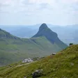
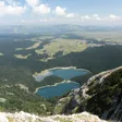
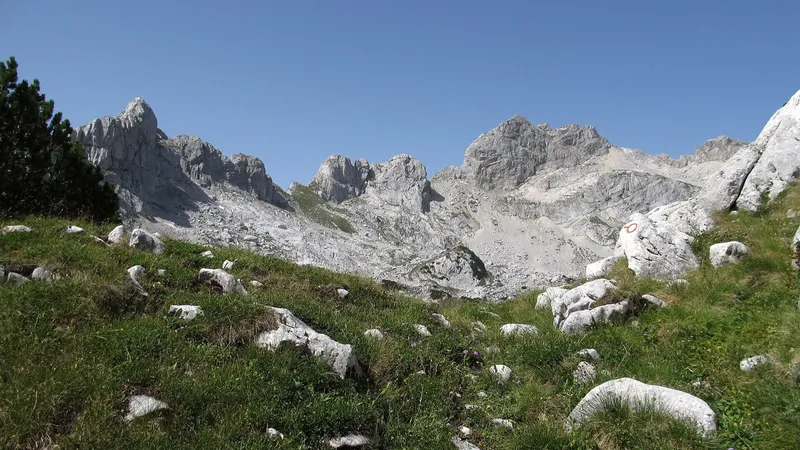
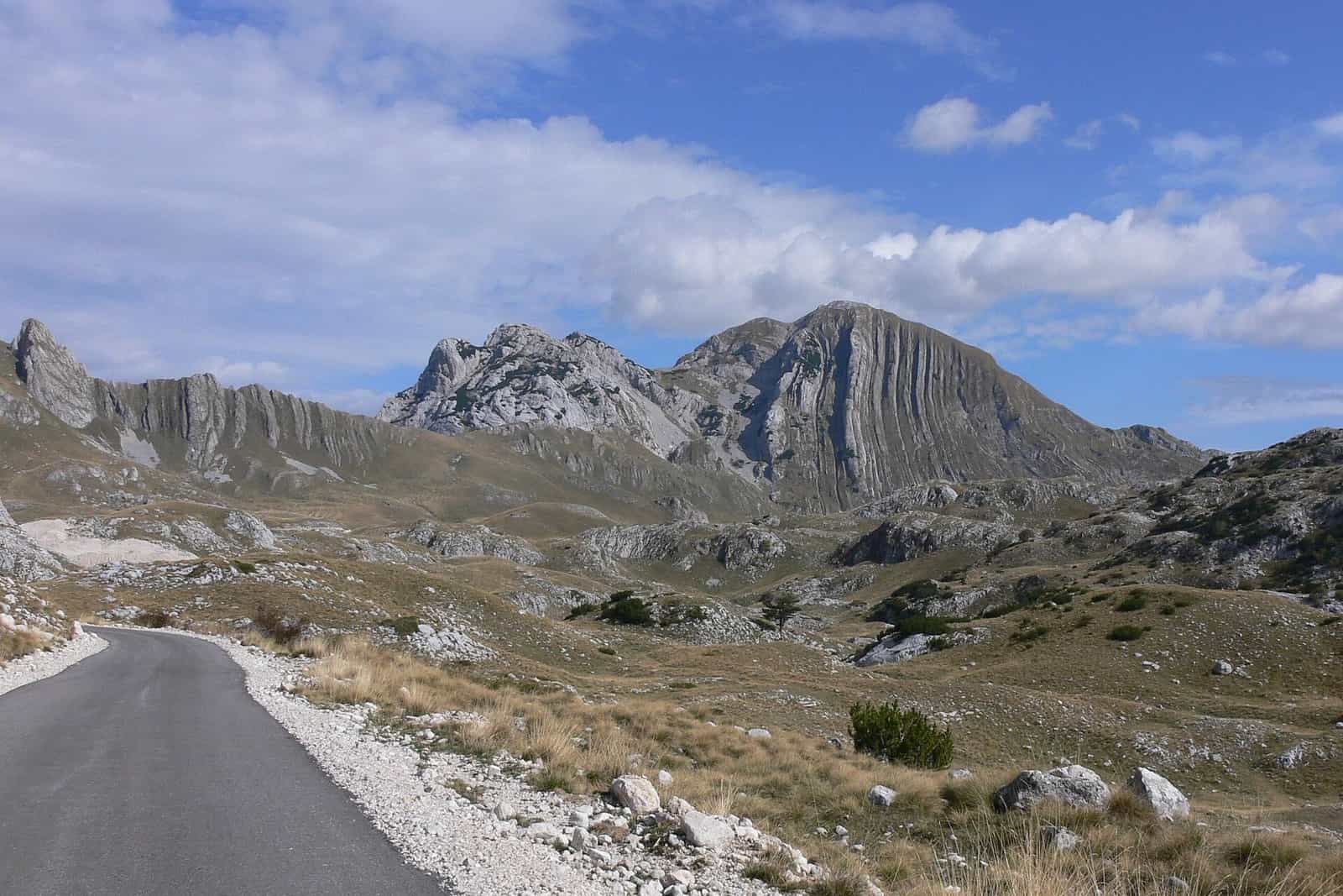
Prutaš, 2,393 m, is the peak with vertical stone stripes in southern Durmitor; the marked loop from the Šarban valley is 8.05 km with 725 m of ascent and looks down on the Škrčka lakes.
Southern Durmitor, Šarban valley · 8.05 km loop, +725 m (no official time)
Photo: Wiki surfer bcr · CC BY 3.0
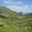
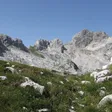
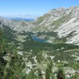
Prutaš, 2,393 m, is the peak the Žabljak tourist office calls the lord of southern Durmitor, recognisable by the vertical stone stripes on its face. The marked loop from the Šarban valley is 8.05 km with 725 m of ascent, graded medium, and passes views of the Škrčka lakes on the way up. It lies inside Durmitor National Park.
Key facts
| Summit | 2,393 m (Nature Park Piva); the route page's range tops out at 2,394 m |
| Route | loop from Šarban, 8.05 km |
| Ascent | +725 m |
| Elevation | 1,697-2,394 m |
| Grade | medium |
| Time | not published |
The route
The tourist office's loop starts in the Šarban valley at about 1,700 m. The national park recommends two lines to the same summit without figures: from Todorov do to Prutaš, and from Dobri do (Šarban spring) via Škrčko ždrijelo and Prutaš to the Škrčka lakes. The second matches the tourist office's loop in its outline and adds a descent to the lakes.
When to go
No season is given for this route; the national tourism organisation's window for Durmitor's high routes is June to the end of October, best July to September.
Fees
Park entrance €5 per person per day.
Getting there
Before driving in, ask at the park office in Žabljak about the access road to Šarban and Dobri do and about parking.
Safety
A medium-graded loop with 725 m of climbing above 1,700 m; no specific hazards are listed. The emergency number is 112.
Nearby
Bobotov kuk and the Škrčka lakes are in the same corner of the massif; see the Durmitor page and the hiking in Durmitor overview. Žabljak is the base town. The walk to the Ice Cave has its own page.

Questions
How high is Prutaš?
2,393 m according to Nature Park Piva; the Žabljak route page's elevation range ends at 2,394 m.
How long does the loop take?
No time is published. The loop is 8.05 km with 725 m of ascent.
Highlights
- Summit 2,393 m with vertical stone stripes
- 8.05 km loop from Šarban, +725 m
- Views of the Škrčka lakes
- Park entrance €5 per day