Sedlo pass
The road pass on the Durmitor Ring that the national tourism organisation calls the area's most famous viewpoint, 1,907 m.
1,907 m
Photo: Ingo Mehling · CC BY-SA 4.0
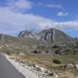
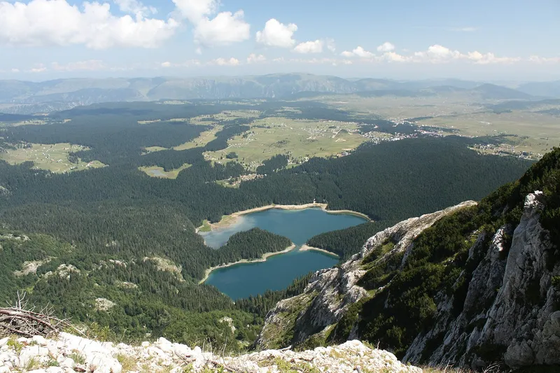
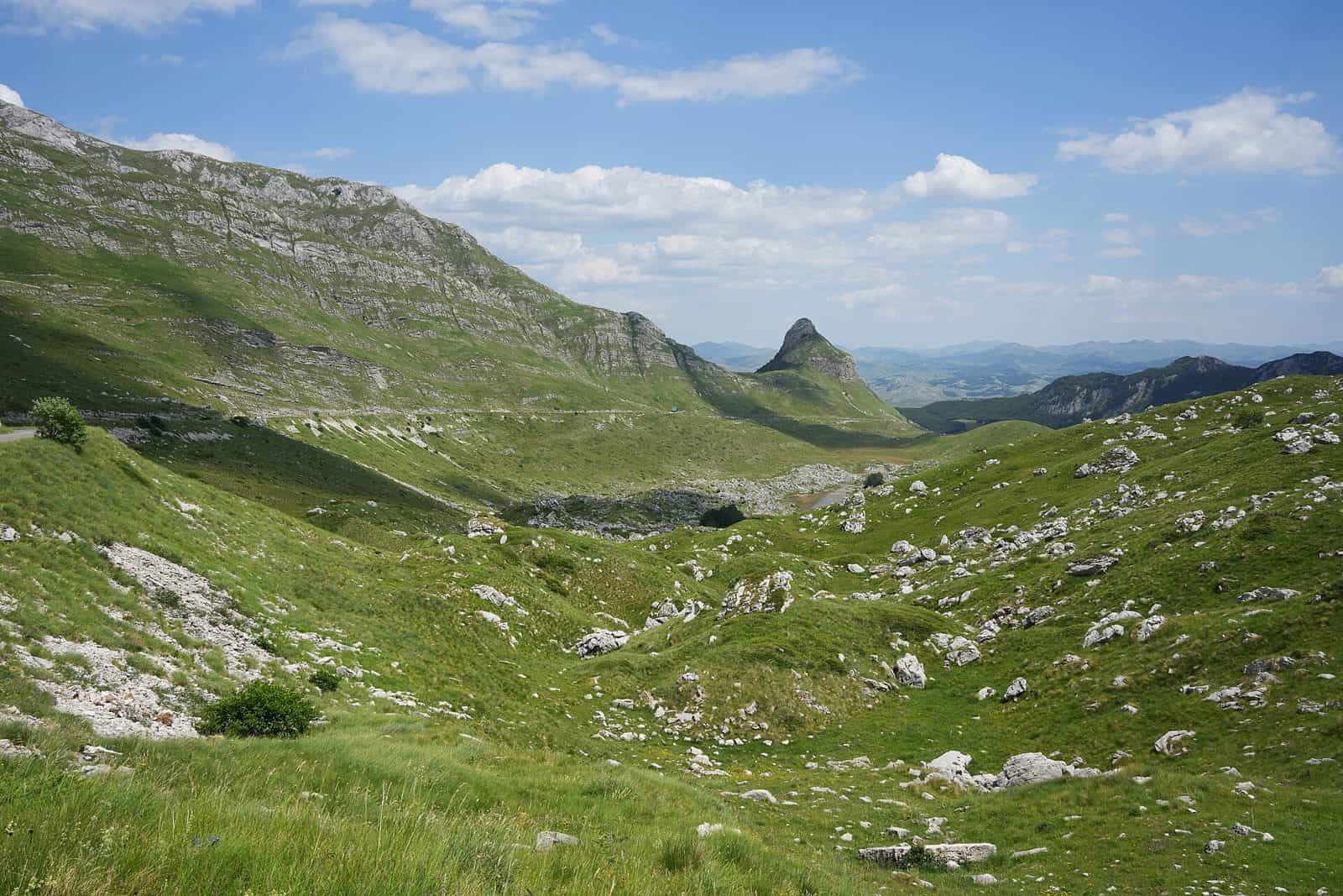
Sedlo, 1,907 m, is the high pass on the Durmitor Ring between the Žabljak and Plužine sides of the massif. The national tourism organisation calls it the most famous viewpoint of the Durmitor area, and Durmitor National Park uses it as the start of the hike to Sedlena greda, 2,227 m. The pass marks the boundary between Plužine and Žabljak municipalities and has a rest area with enough parking.
What you see
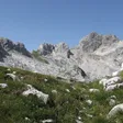
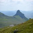
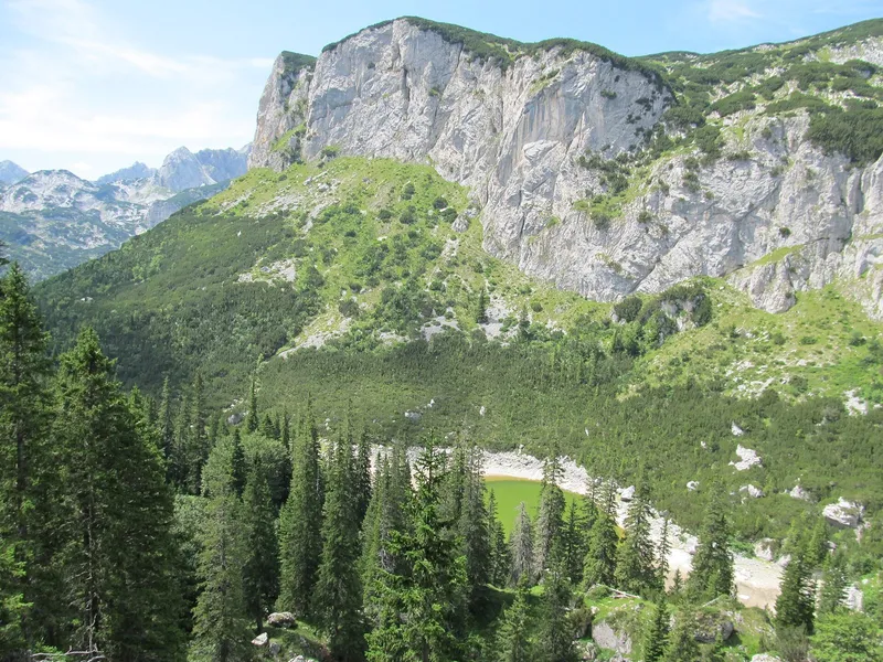
From the pass, Sedlena greda rises over the green Dobri do valley; the Žabljak tourist office counts it among Durmitor's most recognisable peaks. Trails to Škrka lake and Bobotov kuk, 2,522 m, start here.

How to get there
- By car: on the Durmitor Ring. From the Pošćenje and Žabljak side the road climbs at 8% along the slopes of Lomni do and Uvita greda, past the Studenac spring; beyond the pass it drops at 8% into the Dobri do cirque.
- Parking: a rest area with enough parking at the pass.
- GPS: 43.09858, 19.05054, the "Prevoj Sedlo" waypoint in the national tourism organisation's route-survey file.

No official source gives a winter closure date for the road over Sedlo. Check road conditions before driving it outside summer.
Hike to Sedlena greda
| Start | Sedlo pass, 1,907 m |
| Top | Sedlena greda, 2,227 m (the park also writes "Sedlana greda" and gives the local name "Sedlo bogova") |
| Time | About 1 h 30, linear |
| Grade | Medium (park) |
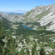
| View from the top | Valovito and Modro lakes, Šareni pasovi and the Šljeme peaks |
Sedlena greda is itself one of the park's three recommended viewpoints. No official coordinates exist for the summit.

Fees
The park ticket is €5 per person per day. The park sells e-tickets.
Elevation
The park gives 1,907 m. The panoramic-road guide gives 1,895 m, and the route-survey GPS point reads 1,894.9 m.
Nearby
Further round the Ring: Nedajno over the Sušica canyon and the Tara canyon lookout below Štuoc. On the Žabljak side: Savin kuk and Crvena greda over the lakes, and the Prutaš hike.
On these trips
- Žabljak in 3 days: Durmitor, summer and winterSummer · Day 2 · The Durmitor Ring by car: Sedlo, Trsa, Nedajno
- 7 days in Montenegro: coast to Durmitor loopDay 6 · Durmitor: Black Lake, the Durmitor Ring and Ćurevac
- 10 days in Montenegro: the full loop by carDay 9 · Durmitor: Black Lake, the Durmitor Ring and Ćurevac
Sources
NTO: Crown of Montenegro brochure/map (PDF) · National Parks of Montenegro: Durmitor, active holidays · TO Žabljak: Panoramski putevi (Ministry panoramic-road guide: Durmitor Ring, Kruna Crne Gore) · NTO: GPS file of panoramic road 'Kruna Crne Gore' (route-survey waypoints, 2007/2012) · National Parks of Montenegro: Durmitor price list · TO Žabljak: peak page Sedlena greda