Durmitor
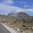
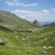
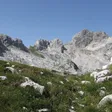
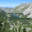
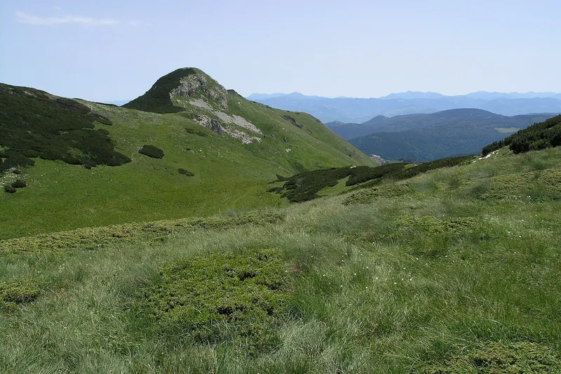
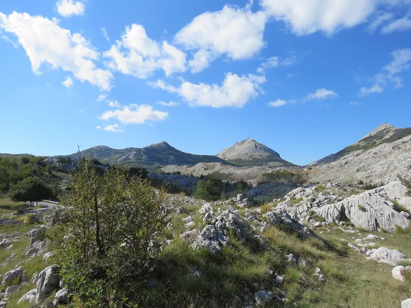
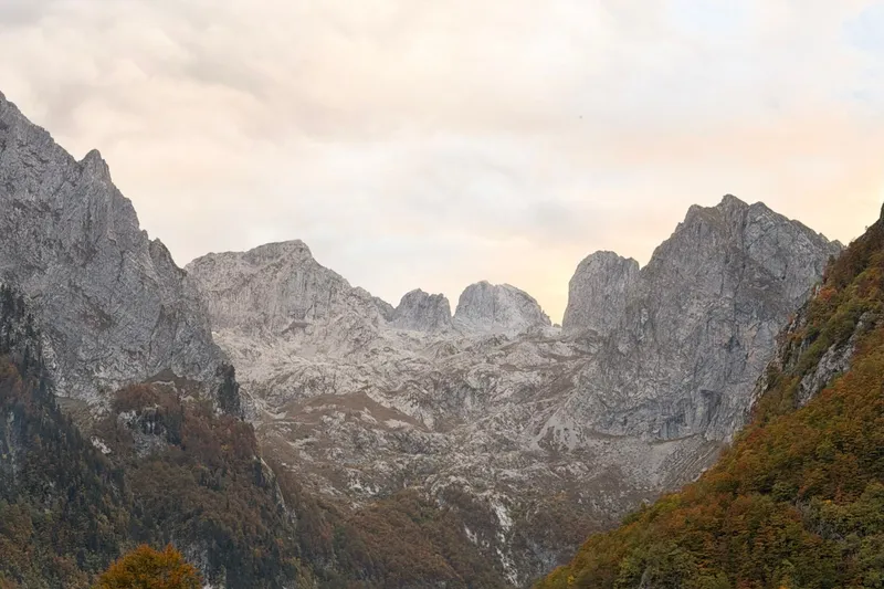
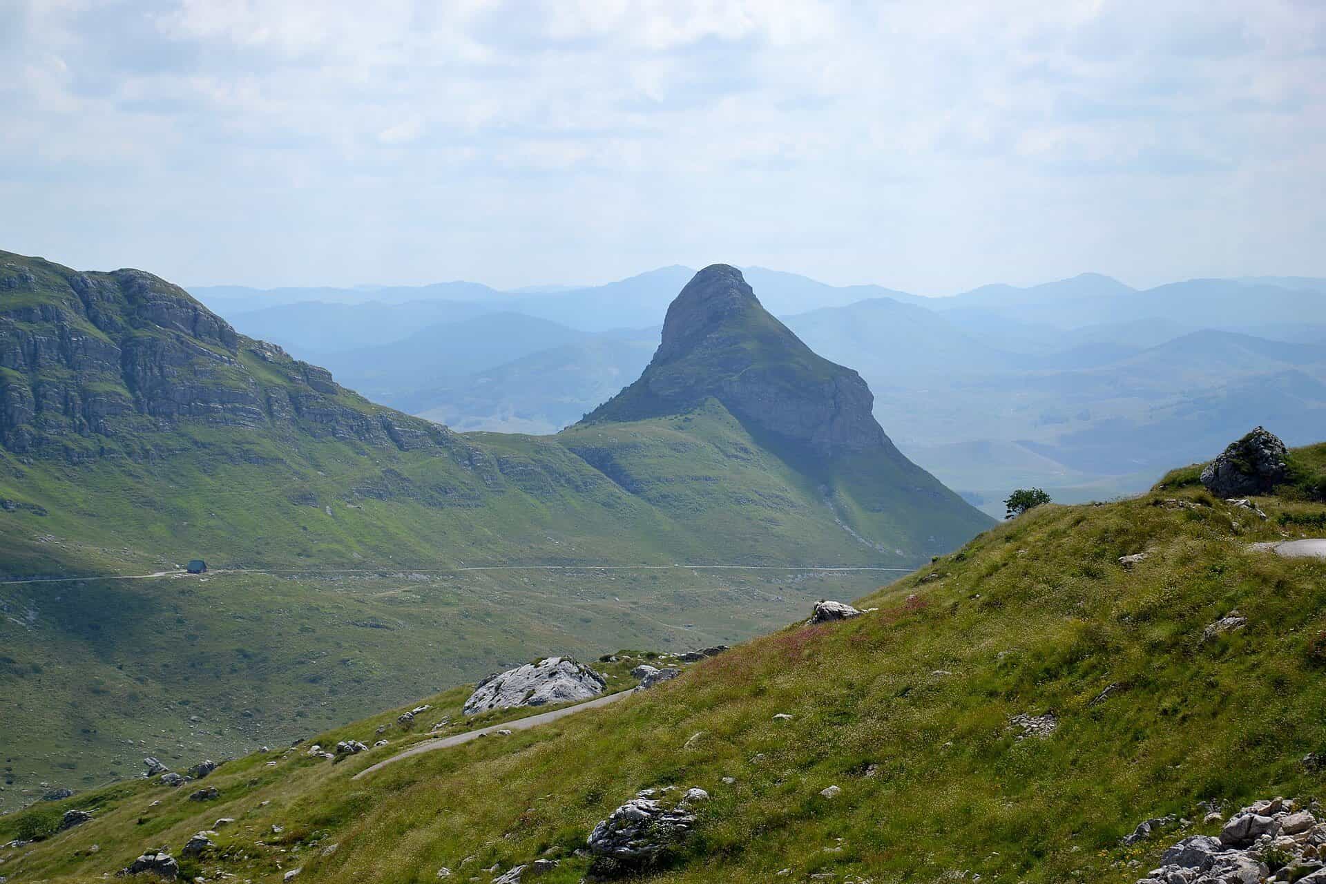
Limestone massif above Žabljak with Bobotov kuk (2,522 m), 48 peaks over 2,000 m, 18 glacial lakes and the Tara canyon on its edge.
2,522 m · Northern Region
Photo: Pudelek · CC BY-SA 4.0
Durmitor is the largest high massif in northern Montenegro, rising above the town of Žabljak. Its highest point, Bobotov kuk, is 2,522 m in the official survey table (the park and most guides give 2,523 m). The whole massif lies inside Durmitor National Park, protected since 1952 and on the UNESCO World Heritage list since 1980; this page covers the mountain itself (peaks, routes, access), the park page covers fees, rules and the visitor centre.
Peaks
The Žabljak tourist board counts about 48 peaks above 2,000 m, 18 above 2,300 m and 7 above 2,400 m. The main summits, with the tourist board's heights unless noted:
- Bobotov kuk, 2,522 m (2,523 m on the park's signs)
- Bezimeni vrh, 2,487 m, the second highest
- Šljeme, 2,455 m, the top of a plateau about 2 km long at around 2,400 m (MONSTAT gives 2,445 m)
- Đevojka, 2,440 m
- Milošev tok, 2,426 m
- Rbatina, 2,401 m
- Minin bogaz, 2,387 m
- Savin kuk, 2,325 m, the classic viewpoint above the ski centre
- Terzin bogaz, 2,303 m
- Suva Rltina, 2,284 m (MONSTAT)
- Sedlena greda, 2,227 m, above the Sedlo pass
The park management plan groups the summits into a northern ridge (Pirlitor, Ćurevac, Štuoc, Crvena greda), a central ridge (Savin kuk, Šljeme, Bobotov kuk), the flysch ridge of Prutaš and Ranisava, and a southern ridge (Ivica, Lojanik, Ružica).

Hikes
The park maintains 25 marked trails totalling about 150 km (the national tourism organisation says about 100 km). Lengths, ascents and grades below are from the Žabljak tourist board and the park.
- Bobotov kuk from the Sedlo pass: 12.72 km return, +722 m, graded heavy; about 3 h up and 2.5 h down between 1,933 m and the summit. Well marked and not very technical. The park also lists routes from Žabljak via Lokvice, and via Lokvice, Ledena pećina (the ice cave) and Valoviti do, without lengths.
- Savin kuk: 4.76 km one way, +815 m, medium, to the 2,325 m summit.
- Sedlo to Sedlena greda: 1 h 30 one way, medium, from the pass at 1,907 m to 2,227 m, with views over Valovito and Modro lakes.
- Three Lakes loop: 8.93 km from Black Lake past Bosača, Jablan and Barno lakes, +172 m, easy.
- Žabljak lakes loop: 11.33 km (Crno, Barno, Jablan), +492 m, medium.
- Black Lake educational trail: about 3.6 km round the lake, about 1 h, easy.
Other recommended park routes: Todorov do to Prutaš, and Dobri do over Škrčko ždrijelo to Prutaš and the Škrka lakes. More routes and the rules for marked trails are on the hiking page.
Lakes, canyons and viewpoints
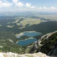
Durmitor has 18 glacial lakes, known locally as "gorske oči" (mountain eyes). The largest is Crno jezero (Black Lake), two basins joined by a channel at about 1,418 m, which drains underground to both the Tara and the Piva basins. Zminje jezero sits in forest nearby; Vražje jezero lies on the plateau east of Žabljak. Higher up are the two Škrka lakes, Modro, Valovito, Zabojsko and Sušičko.

Four canyons cut the edges of the massif: the Tara, Draga, Sušica and the upper Komarnica. The best-known Tara canyon viewpoint is Ćurevac at 1,625 m, north of Žabljak.

Skiing
The Savin kuk ski centre is about 5 km from Žabljak, with 4.6 km of pistes: blue runs Snowboard (650 m), Derneci (1,100 m) and Panalj (900 m), the red Korito (1,200 m), the black Vukova staza (800 m) and a 150 m baby slope. Night skiing is offered. The park also rents snowshoes (€4 a day) and marks a 6.7 km snowshoe trail from the ski centre to Black Lake, about 2 h. Nordic skiing, ski touring and ice climbing are listed by the national tourism organisation. See the skiing page for all centres.
Geology and nature
Durmitor is a limestone massif shaped by glaciers, which left the 18 lakes behind on a plateau averaging 1,450 to 1,500 m, while karst gives the mountain its pits and caves, including Ledena pećina (the ice cave) on the Bobotov kuk route and the Surutka-Vjetrena brda speleological reserve. The park records over 1,300 plant species, about half of Montenegro's flora, with 122 taxa of some endemic rank. There are 43 mammal species, among them bear, wolf and chamois, the park's symbol, and 172 recorded bird species. Strict nature reserves protect the fir-spruce forest at Mlinski potok, the black pine stand of Crna poda, Barno and Zabojsko lakes and the Škrka lakes basin.
Getting there
Žabljak is the base for every route on the eastern side. By road it is 122 km from Podgorica via Nikšić, 124 km via Kolašin and Mojkovac, and 169 km from Dubrovnik via Trebinje and Nikšić. Black Lake and the Sedlo pass (1,907 m) are the two main trailheads. Park entry is €5 per person per day, children under 15 free; car parking costs €1 an hour at the park's car parks. Both Black Lake and Sedlo are ticket checkpoints. The visitor centre is in the park office in Žabljak.
Safety and season
The hiking season on Durmitor runs from June to the end of October, with July to September the most reliable months. Two huts operate in summer: Škrka, between the Škrka lakes on the Bobotov kuk approach (mid-June to end of September, bring a sleeping bag), and Sušica by Sušičko lake (end of June to end of September, €10 per person). The Lokvice shelter at 1,800 m (up to 20 people) and the climbers' shelter Kalice at 2,020 m (6 to 12 places) are open all year. Camping is allowed only at designated places (Žugića luka, Radovan luka, Škrka, Sušica, Šarban, Lokvice). The emergency number 112 covers mountain rescue and is free to call; the park offers licensed guides at €40 for 4 h or €80 for 8 h.
Nearby
The park spans five municipalities: Žabljak, Plužine, Šavnik, Mojkovac and Pljevlja. Šavnik is framed by Durmitor, Vojnik and the plateau of Sinjajevina. On the Plužine side, the Piva nature park links Durmitor with Maglić and the Piva canyon.
Questions
Is Bobotov kuk hard to climb?
The standard route from Sedlo is graded heavy because of its length (12.72 km return) and 722 m of ascent, but it is well marked and not technical. Allow about 5.5 h of walking.
Is Durmitor the highest mountain in Montenegro?
Bobotov kuk is the highest point of Durmitor and of the national park. The national tourism organisation names Zla kolata in Prokletije, 2,534 m, as the country's highest peak.
When is Durmitor snow-free?
Trails are generally walkable from June to the end of October; the huts open from mid or late June. Outside that window expect snow on the high ground.
Sources
MONSTAT, Statistical Yearbook 2025, table 1-8 Mountain peaks over 1800 m · Tourist Organisation Žabljak, Peaks of Durmitor · TO Žabljak, Bobotov kuk trail · TO Žabljak, Savin kuk trail · TO Žabljak, Three Lakes trail · TO Žabljak, Žabljak lakes trail · TO Žabljak, Durmitor lakes · National Parks of Montenegro, Durmitor active holidays · National Parks of Montenegro, Durmitor price list · National Parks of Montenegro, Management Plan NP Durmitor 2026-2030 · National Parks of Montenegro, online tickets and exemptions · National Tourism Organisation, Durmitor National Park · National Tourism Organisation, Hiking and trekking · National Tourism Organisation, Skiing · National Tourism Organisation, Ski centres of Montenegro · EKIP, 112 emergency number press release, Feb 2023