Škrčka jezera (Škrka Lakes)
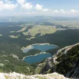
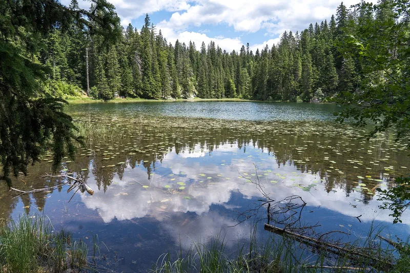
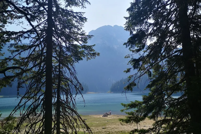
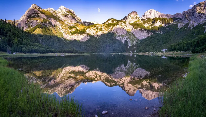
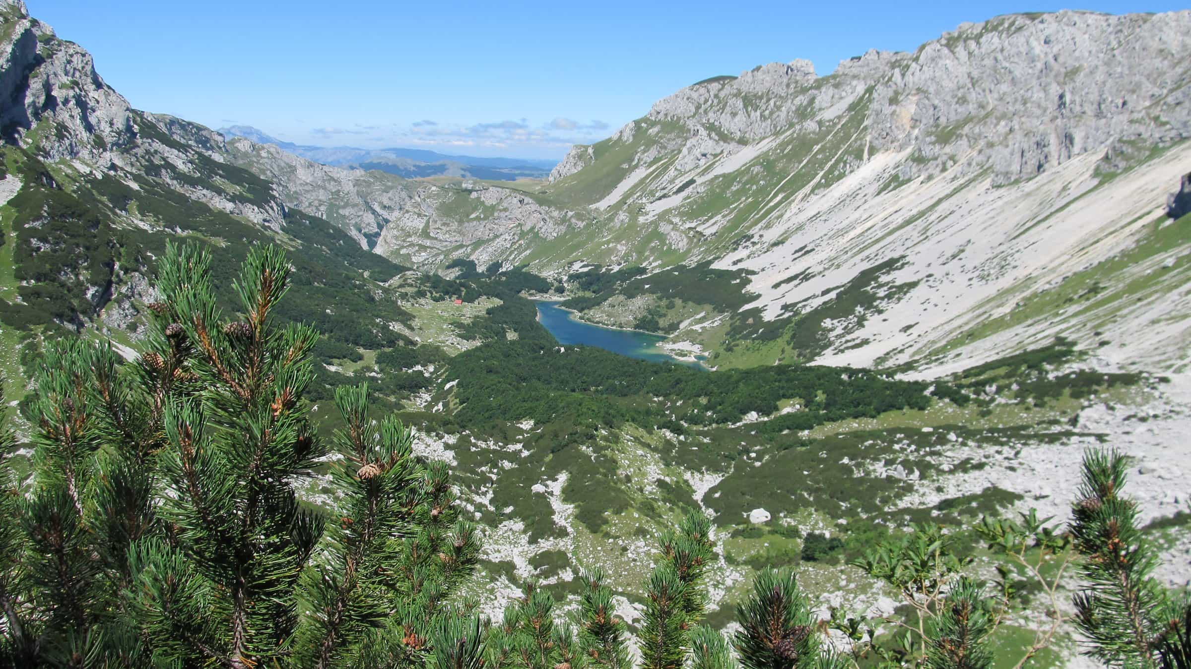
Veliko and Malo Škrčko jezero, two glacial lakes in the Škrka valley 800 m below Bobotov kuk on the Plužine side of Durmitor National Park: 1,700 and 1,730 m, up to 17.2 m deep, reached on foot from the Sedlo pass or from Dobri do over Prutaš, with the park hut Škrka between them.
Plužine
Photo: Emil Joanović · CC BY-SA 3.0
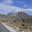
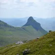
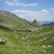
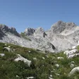
Škrčka jezera (the Škrka Lakes) are two glacial lakes, Veliko and Malo Škrčko jezero, in the deep Škrka valley 800 m below Bobotov kuk, on the Plužine side of Durmitor National Park. Veliko Škrčko lies at 1,700 m with 0.11 km² of water up to 17.2 m deep; Malo Škrčko, at 1,730 m, is about an eighth of the size. No road reaches them. The ways in are the park's route from Dobri do over Škrčko ždrijelo and Prutaš, and the trails from the Sedlo pass, 14.3 km from Žabljak. The park hut Škrka stands between the two lakes and is open from mid-June to the end of September.
The lakes in figures
| Fact | Veliko Škrčko jezero | Malo Škrčko jezero |
|---|---|---|
| Elevation | 1,700 m | 1,730 m |
| Area | 0.11 km² | 0.014 km² |
| Shoreline | 2.11 km | - |
| Mean depth | 5.9 m | 5.8 m |
| Maximum depth | 17.2 m | 15.2 m |
| Volume | 335,000 m³ | - |
| Outflow | Over the Skakala into Sušičko jezero | - |
Both lakes belong to the settlement of Pišče in Plužine municipality and lie inside Durmitor National Park.
The valley below Bobotov kuk
The Škrka valley is a deep valley in the Durmitor massif, and the lakes lie on its floor 800 m under Bobotov kuk (2,522 m), the highest point of the park. The two basins lie close together, Malo Škrčko the higher by 30 m. Veliko Škrčko is the deeper and larger, and it drains over the Skakala into Sušičko jezero at 1,140 m, a seasonal lake that dries out in summer when the Skakala stops flowing, and from there down the Sušica canyon to the Tara.

The whole basin, from the lakes down the Sušica valley to the Tara canyon, is one of the park's special nature reserves, about 2,360 ha. Like the other Durmitor lakes, the Škrka lakes hold only introduced fish.
The Škrka hut
The park's mountain hut Škrka stands between Veliko and Malo Škrčko jezero on the path to Bobotov kuk. It is open from mid-June to the end of September and you need your own sleeping bag. Camping in the park is allowed only at designated places, and Škrka is one of them, with Šarban and Dobri do on the road side of the ridge. Carry your own food.

Routes to the lakes
- From Dobri do over Prutaš. The park's recommended line runs from Dobri do (the Šarban spring) up to Škrčko ždrijelo, over Prutaš (2,393 m) and down to the lakes. The Žabljak tourist office's marked loop on Prutaš from the Šarban valley is 8.05 km with 725 m of ascent, graded medium, up to 2,394 m, and looks down on the lakes on the way up.
- From the Sedlo pass. Sedlo (1,907 m) has parking, a park ticket checkpoint and the signposted trails to Škrka and Bobotov kuk. The park's route Sedlo-Zeleni vir-Bobotov kuk passes Zeleni vir, a small lake at 1,820 m at Mlječni do, on the way to the summit.
- From the hut to the summit. The fully marked climb from the Škrka hut to Bobotov kuk takes about 3 hours up and 2 h 30 down, with 800 m of height gain.
Fees
Entry to Durmitor National Park costs €5 per person per day, paid at checkpoints including Sedlo or online. Tickets are free for children under 15.
When to go
The hut's season, mid-June to the end of September, is the practical window for the lakes. Hiking on Durmitor runs from June to the end of October, with July to September the best months; snow and ice can stay on the upper sections of the Bobotov kuk routes, and the weather on the massif changes fast.

Getting there
The Sedlo pass is 14.3 km (about 17 minutes) from Žabljak and 34.8 km (about 42 minutes) from Plužine on the road over the massif. Šarban, the hamlet by Dobri do where the Prutaš loop starts, is 18.5 km (about 22 minutes) from Žabljak on the same road. Times are without traffic or snow. Buses to Žabljak are listed on the town page; nothing public goes to the trailheads, and from there the lakes are on foot only.
Nearby
- Bobotov kuk, the summit 800 m above the lakes, and Prutaš, the peak on the way in from Dobri do.
- The Sedlo pass and its hike to Sedlena greda.
- The Sušica canyon below the lakes, with Sušičko jezero and the park's Sušica hut.
- Black Lake on the Žabljak side of the massif, and Trnovačko jezero in the same municipality, west of the Piva.
- Other lakes on the lakes hub; the park's marked trails on the hiking page.
Questions
Can you drive to the Škrka lakes?
No. The nearest road points are the Sedlo pass and Dobri do on the Žabljak-Plužine road; from both the lakes are reached on foot.
Which of the two lakes is bigger?
Veliko Škrčko jezero: 0.11 km² and up to 17.2 m deep, against 0.014 km² and 15.2 m for Malo Škrčko jezero. Malo Škrčko lies 30 m higher.
Is there a hut?
Yes, the park hut Škrka between the two lakes, open from mid-June to the end of September. Bring a sleeping bag and food.
Is there an entrance fee?
The lakes are inside Durmitor National Park, which charges €5 per person per day, paid at checkpoints such as Sedlo or online. Children under 15 enter free.
Activities
- Hiking
Things to do
The Škrka hut
Park hut between the two lakes on the Bobotov kuk path, open mid-June to the end of September; sleeping bag needed.
Over Prutaš from Dobri do
The park's route from Dobri do over Škrčko ždrijelo and Prutaš (2,393 m) down to the lakes; the Prutaš loop is 8.05 km, +725 m.
Bobotov kuk from the hut
From the hut about 3 h up and 2 h 30 down, +800 m, fully marked.
The Sedlo pass
Parking, ticket checkpoint and the signposted trails to Škrka and Bobotov kuk, 14.3 km from Žabljak.
Sources
Uprava za vode: Registar voda od značaja za Crnu Goru, 2nd edition, July 2024, p. 44 Škrčka jezera, p. 42 Sušičko jezero, read 2026-11-02 · National Parks of Montenegro: Durmitor, active holidays (Škrka hut, camping places, recommended routes), read 2026-10-14 · National Parks of Montenegro: Management Plan NP Durmitor 2026-2030 (PDF; special nature reserves, ticket checkpoints, lake fish), read 2026-10-14 · National Parks of Montenegro: Durmitor price list, read 2026-11-02 · National Parks of Montenegro: online tickets (exemptions), read 2026-10-14 · TO Žabljak: Prutaš, gospodar južnog Durmitora, read 2026-10-15 · TO Žabljak: Bobotov kuk 2.523 m (peak page: routes, times, height gain from the Škrka hut), read 2026-10-14 · TO Žabljak: Durmitor lakes (Zeleni vir, Sušičko jezero), read 2026-11-02 · NTO: Hiking and trekking (Durmitor season June to end October, best July to September), read 2026-11-02 · OpenStreetMap node 307060789 "Sedlo" (natural=saddle), ODbL · OpenStreetMap node 4623804155 "Šarban" (place=hamlet), ODbL · Routes computed with OSRM on OpenStreetMap data (ODbL)