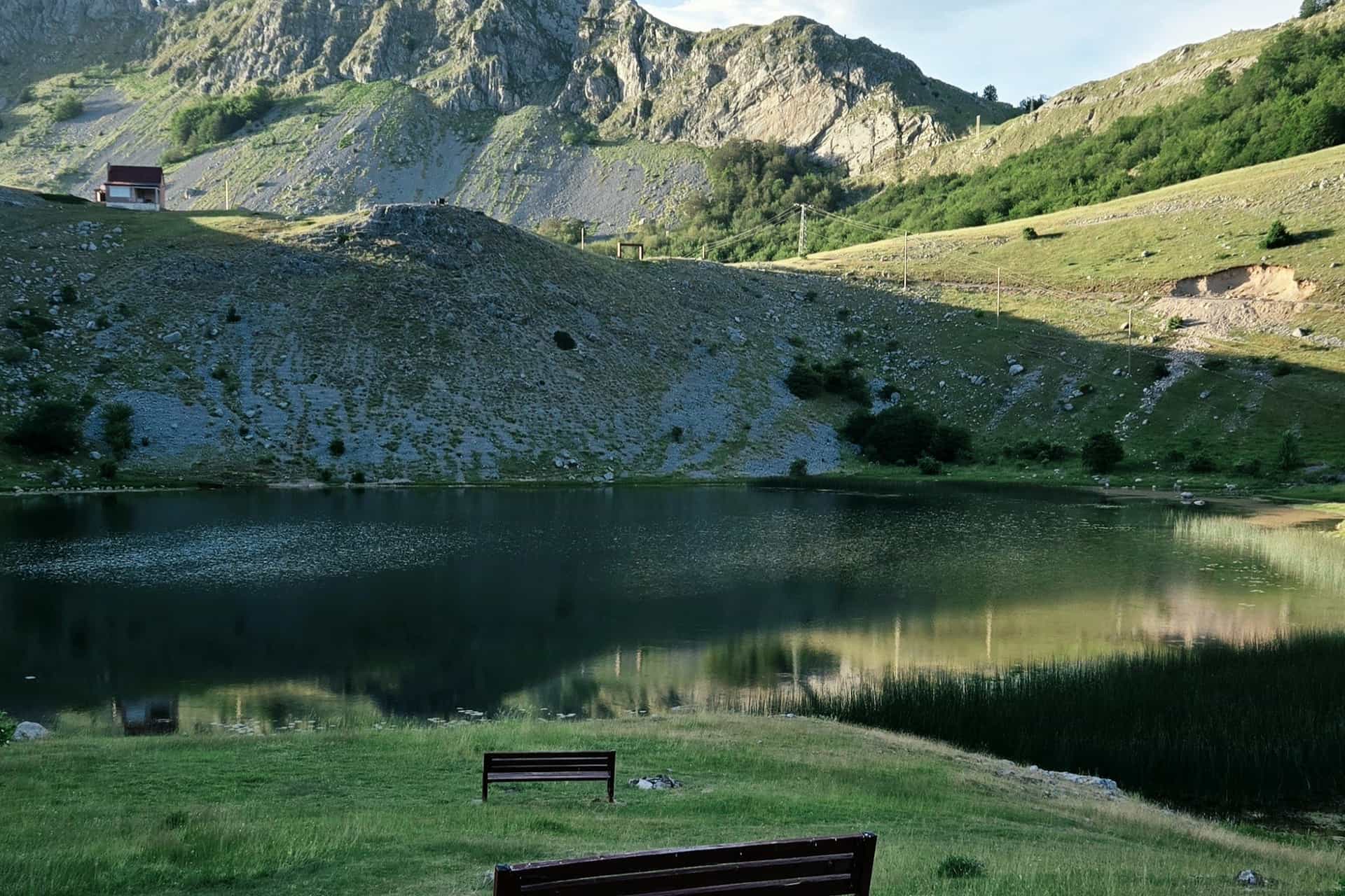
Bukumirsko jezero (Bukumir Lake)
A glacial lake at 1,440 m on the northern slope of Žijovo in Kuči, 55 km from Podgorica: 210 m long, up to 16.8 m deep, home of the endemic Montenegrin alpine newt, a detour from the Korita panoramic circuit and the start of the 8.5 km Žijovo trail.
Podgorica (Kuči)
- Surface
- 0.019 km²
- Max depth
- 16.8 m
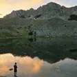
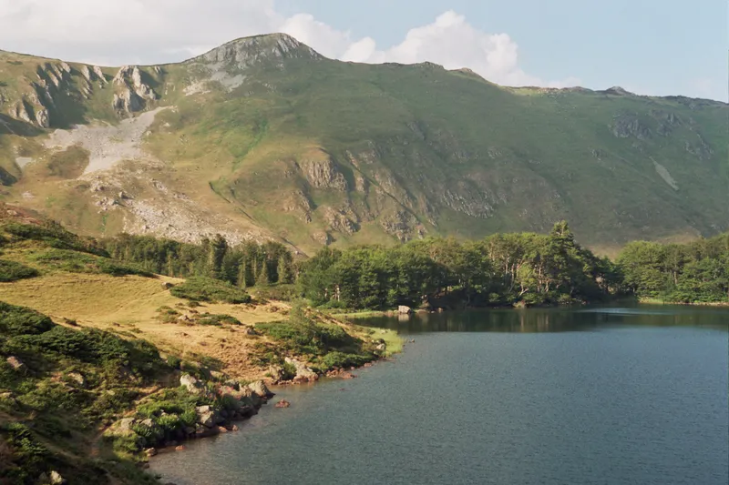
Bukumirsko jezero (Bukumir Lake) is a small glacial lake in Kuči, the mountain district east of Podgorica, at 1,440 m on the northern slope of Žijovo. It is 55 km by road from the city, with the last kilometre or so unpaved, and it is the starting point of the marked Žijovo trail to the viewpoints on Surdup and Štitan. The lake is the home of the Montenegrin alpine newt, an endemic subspecies described in 1951.
The lake in figures
| Type | Glacial lake |
| Elevation | 1,440 m |
| Area | 0.019 km² (19,320 m²) |
| Size | 210 m long, 130 m wide |
| Shoreline | About 590 m |
| Mean depth | 6.1 m |
| Maximum depth | 16.8 m |
| Volume | 118,500 m³ |
| Water | Rain and snowmelt; the level moves by about 1 m either way; alkaline |
| Settlement | Gornji Stravči, Podgorica municipality |
The lake
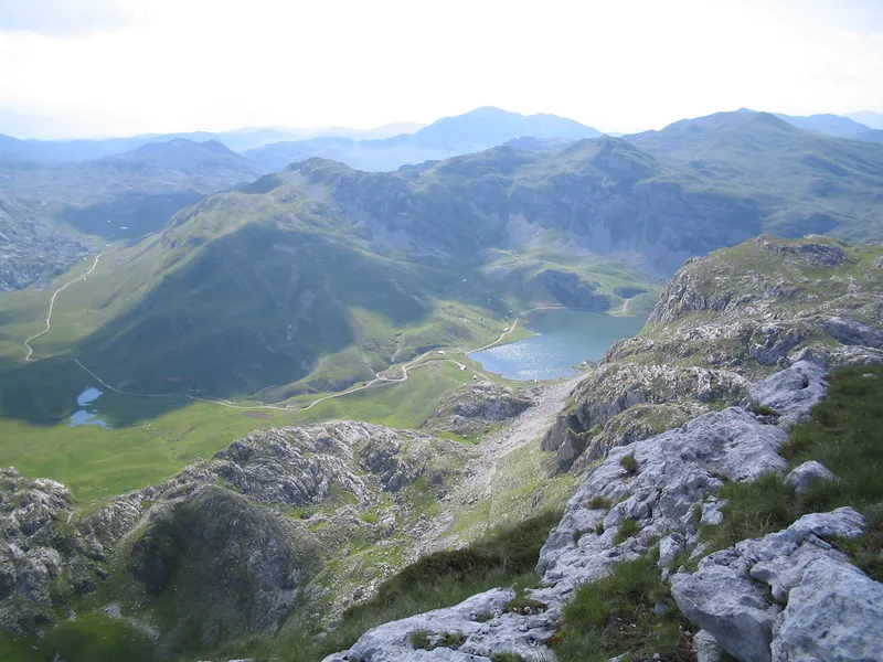
The lake lies north of the Surdup massif, in a hollow fed only by rain and melting snow, so its level rises and falls by about a metre with the seasons. About 15% of the surface is covered by water plants, and that cover is spreading. A second, smaller lake lies 500 m to the south and about 100 m lower, at 1,332 m.

The Montenegrin alpine newt
The lake is home to the Montenegrin alpine newt (Triturus alpestris montenegrinus), an endemic subspecies described in 1951. Repeated stocking of the lake with fish nearly wiped it out.
Getting there
From Podgorica the lake is 55.4 km by road, about 1 h 10 by car, through Kuči. It is a side trip from the Korita panoramic circuit over Kučka korita, one of the national panoramic roads: the detour is 25 km each way, mostly paved but partly very narrow, with the last kilometre or so unpaved. Rikavačko jezero, the other glacial lake of Kuči, can be joined with it as a loop of about 50 km, but that leg is an unpaved mountain road for SUVs or 4x4 only. There are no petrol stations on the circuit, it is unsuitable for campers 7 m or longer, and the season is May to October.

Hiking: the Žijovo trail
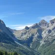
The marked Žijovo trail starts at the lake and runs 8.5 km to the viewpoints on Surdup (2,184 m) and Štitan, the highest peaks of the range. The Žijovo page covers the range and the hiking hub the rest of the country.

Nearby
- Žijovo, the range the lake sits under, with Surdup and Štitan.
- Kučka korita and the Korita panoramic circuit, the road the lake is a detour from.
- Grlo Sokolovo, the viewpoint over the Cijevna canyon on the same circuit.
- Rikavačko jezero, the second glacial lake of Kuči, on the Albanian border.
- Podgorica, the starting point for the whole circuit.
- Other lakes on the lakes hub.
Questions
How high is Bukumirsko jezero?
1,440 m above sea level, on the northern slope of Žijovo.
Can you drive to the lake?
Yes. The road from the Korita circuit is 25 km each way, mostly paved, partly very narrow, with the last kilometre or so unpaved.
How deep is it?
Up to 16.8 m, with a mean depth of 6.1 m.
Is there a hiking trail from the lake?
Yes. The marked Žijovo trail, 8.5 km, leads to the viewpoints on Surdup and Štitan.
Why is the newt important?
The Montenegrin alpine newt, an endemic subspecies described in 1951, lives in the lake; fish stocking nearly wiped it out.
Activities
- Hiking
Things to do
The Žijovo trail
Marked, 8.5 km from the lake to the viewpoints on Surdup (2,184 m) and Štitan.
The Korita circuit
A 25 km detour each way from the national panoramic road over Kučka korita.
The newt
The endemic Montenegrin alpine newt, a subspecies described in 1951, lives in the lake.
The lower lake
A second, smaller lake 500 m to the south at 1,332 m.
Sources
Government of Montenegro: Registar voda od značaja za Crnu Goru (2024), entry Bukumirsko jezero (p. 66), read 2026-11-02 · TO Podgorica: Bukumirsko Lake, read 2026-11-02 · TO Podgorica: Hiking and cycling (Žijovo trail), read 2026-10-15 · NTO Montenegro: Panoramic Roads, The Circuit around Korita (brochure PDF), read 2026-11-02 · Routes computed with OSRM on OpenStreetMap data (ODbL)