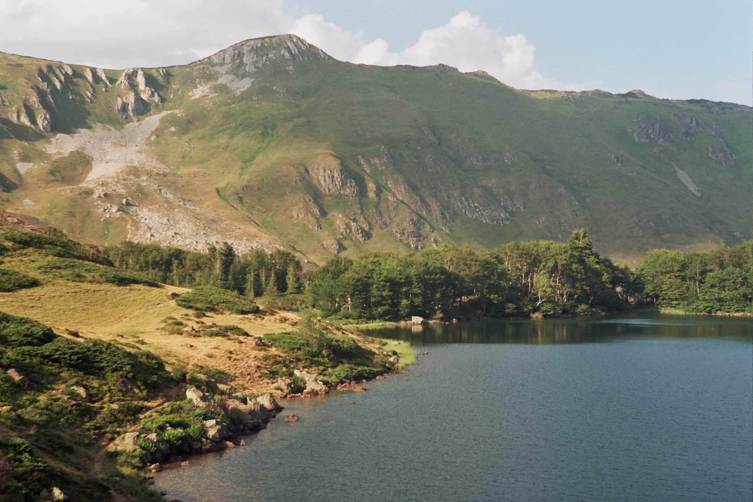
Pešića jezero (Pešića Lake)
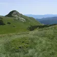
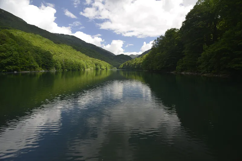
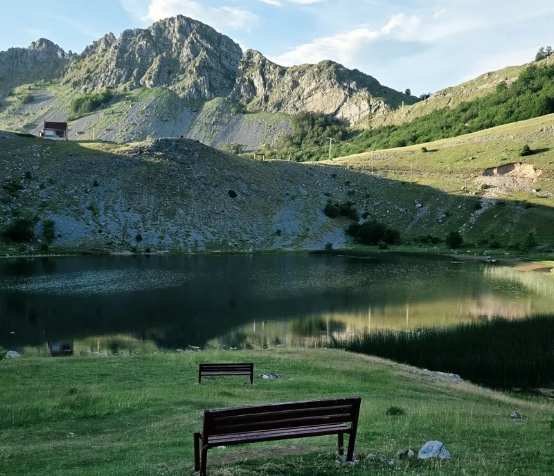
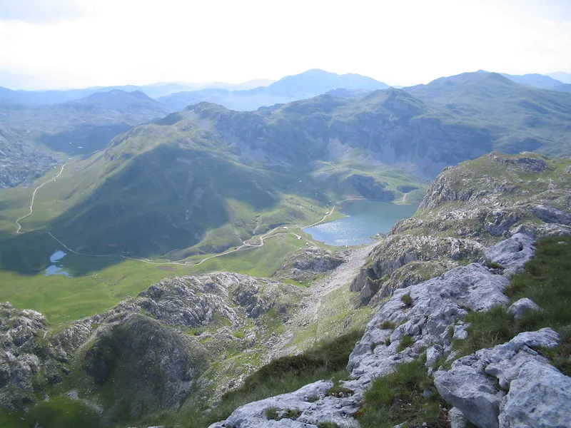
The second largest glacial lake on Bjelasica, at 1,837 m between Crna glava, Zekova glava and Belil in Biogradska gora National Park: 0.037 km², up to 8.4 m deep, reached on foot from Vranjak, from the Kolašin 1600 chairlift or from the mountain road through Dolovi Lalevića.
Berane
Photo: Vuk Pajković · CC BY-SA 4.0
- Surface
- 0.037 km²
- Max depth
- 8.4 m
Pešića jezero (Pešića Lake) is a glacial lake at 1,837 m on the main ridge of Bjelasica, inside Biogradska gora National Park in Berane municipality. It is the second largest glacial lake on the mountain after Biogradsko jezero: 0.037 km² of water, up to 8.4 m deep, in a hollow between the peaks Crna glava (2,139 m), Zekova glava (2,117 m) and Belil (2,059 m). There is no road to the shore. You walk in from the Vranjak katun, ride the Kolašin 1600 chairlift and continue on foot, or drive the mountain road through Dolovi Lalevića to a signposted turn-off and finish on foot.
The lake in figures
| Type | Glacial lake |
| Elevation | 1,837 m |
| Area | 0.037 km²; about 290 m long and up to 165 m wide |
| Shoreline | 0.75 km; the lake grows with the snowmelt, so the shore runs about 1,200 m in spring and 800 m in summer |
| Depth | 3.2 m on average, 8.4 m at most |
| Volume | 121,000 m³ |
| Outflow | Pešića potok, which runs to the Bistrica and on to the Lim |
| Municipality | Berane, settlement Lubnice |
| Protection | Biogradska gora National Park |
A lake between three peaks
The lake fills a glacial hollow on the ridge that carries the highest ground of Bjelasica. Crna glava, the top of the mountain at 2,139 m, stands to the north; Zekova glava and Belil close the other sides. Veliko Ursulovačko jezero lies about 2 km to the north, on the far side of Crna glava, and the water that leaves Pešića runs through the Pešića potok to the Bistrica and the Lim, so this is the Berane side of the mountain.
Local legend has it that a white horse with blue eyes flies over the lake at night.
Three ways to the lake
- On foot from Vranjak. The eco-katun at Vranjak (1,800 m) is the start of the marked trail along the ridge: 3.7 km and 1 h 20 to Zekova glava (+317 m), 7 km and about 2 h 15 to Crna glava (+339 m), graded easy to medium. From the Crna glava side a path drops to the lake.
- By chairlift. The six-seat chairlift of Kolašin 1600, 12 km from Kolašin, rises to Troglava (top station 2,035 m). From there the route continues on foot along the ridge towards Zekova glava and down to the lake.
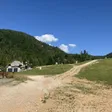
- By car and on foot. A mountain road climbs from Biogradsko jezero via Ganovača to the Dolovi Lalevića katun and on over Svatovsko groblje and Bjelasička kosa; a signpost marks the turn-off for the lake, and the last part is walked. The 7 km from Biogradsko jezero to the katun are macadam.
The CT-1 transversal Planinama Crne Gore, part of the European long-distance route E-6, crosses the park over Vranjak, Crna glava and Svatovsko groblje, so it passes above the lake.
Fees and rules
Biogradska gora National Park charges €4 per person per day; tickets are checked at Kraljevo kolo and Vranjak and sold online.
When to go
The trekking season on Bjelasica runs from May to the end of October. The lake is at its largest in late spring, when the snowmelt pushes the shoreline out to about 1,200 m; by late summer it shrinks to about 800 m.
The other lakes of Bjelasica
The park names Pešića, Šiško, Ševarine and Veliko and Malo Ursulovačko as its higher glacial lakes besides Biogradsko jezero. Six marked park trails lead to Crna glava, Troglava, Zekova glava and the lakes, and the park's recommended ridge route links most of them: Šiška, katun Šiška, Ursulovac, Crna glava, Zekova glava, Vranjak.
Šiško jezero
Veliko Šiško jezero lies at 1,660 m where the lands of Kurikuće, Rovačko Trebaljevo and Bjelojevići meet, on the boundary of Berane and Kolašin municipalities and 50 m from the Mojkovac boundary, inside the national park: 0.029 km², about 400 m by 140 m, and only 3.2 m deep. The park's bike route Ševarine-Šiško jezero-Suvodo passes it. Malo Šiško jezero, higher at 1,793 m, is a silty pool 1.7 m deep used by livestock for watering.
Ursulovačko jezero
Veliko Ursulovačko jezero, also called the Kurikuće lake, is the highest lake on Bjelasica at 1,899 m (the Kolašin tourist office gives 1,895 m), about 800 m north of Crna glava: 0.02 km², 162 m by 106 m, up to 8.1 m deep. Malo Ursulovačko jezero, known as Blatina, lies lower at 1,767 m, is 2.2 m deep, serves the livestock on the pastures and is listed as threatened.
Getting there
By car the nearest point with a name and a road is the Dolovi Lalevića katun: 26.6 km (about 50 minutes) from Kolašin through the park past Biogradsko jezero, and 30.6 km (about 1 h 10) from Berane. The last 7 km, from Biogradsko jezero to the katun, are macadam. Kolašin is on the Bar-Beograd railway and has buses; nothing public goes up the mountain.
Nearby
- Biogradsko jezero and the old-growth forest of Biogradska gora, where the road up begins.
- The Dolovi Lalevića katun on the way up, with families selling cheese and kajmak in summer.
- Kolašin 1600, the ski centre whose chairlift reaches the ridge.
- The Šiško and Ursulovačko lakes on the same ridge, above.
- Kapetanovo jezero, the glacial lake on Lukavica in the Moračke planine, west of Kolašin, and the other lakes on the lakes hub.
Questions
Can you drive to Pešića jezero?
Not to the shore. A mountain road runs through Dolovi Lalevića, Svatovsko groblje and Bjelasička kosa to a signpost for the lake; the last part is on foot. The 7 km from Biogradsko jezero to the Dolovi Lalevića katun are macadam.
Is there an entrance fee?
The lake is inside Biogradska gora National Park, which charges €4 per person per day; tickets are checked at Kraljevo kolo and Vranjak and sold online.
Activities
- Hiking
Things to do
Ridge walk from Vranjak
Marked trail from the eco-katun at 1,800 m: 3.7 km to Zekova glava, 7 km to Crna glava, then down to the lake.
Chairlift and walk
Six-seat chairlift of Kolašin 1600 to Troglava, then on foot along the ridge towards Zekova glava.
Mountain drive
Mountain road from Biogradsko jezero through Dolovi Lalevića and Svatovsko groblje to the signpost for the lake.
The other Bjelasica lakes
Šiško and Ursulovačko on the same ridge, linked by the park's route Šiška-Ursulovac-Crna glava-Zekova glava-Vranjak.
Draft, not yet checked · How we check facts
Sources
Uprava za vode: Registar voda od značaja za Crnu Goru, 2nd edition, July 2024, p. 62 Pešića jezero, p. 58 Šiško and Ursulovačko lakes, read 2026-11-02 · TO Kolašin: Lakes, read 2026-11-02 · TO Kolašin: trail Eko katun Vranjak-Troglava-Zekova glava-Crna glava, read 2026-10-14 · National Parks of Montenegro: Biogradska gora, active holidays, read 2026-10-14 · National Parks of Montenegro: Management Plan NP Biogradska gora 2026-2030 (PDF), read 2026-10-14 · eMontenegro: Dolovi Lalevića (7 km macadam road from Biogradsko jezero to the katun) · National Parks of Montenegro: Biogradska gora price list, read 2026-11-02 · NTO: Hiking and trekking (Bjelasica season May to end October), read 2026-11-02 · NTO: Ski centres of Montenegro (Kolašin 1600, cable car to Troglava), read 2026-10-14 · NTO: Skiing (Kolašin by railway, car or bus; Bjelasica snowshoeing and ski touring), read 2026-10-14 · OpenStreetMap node 476567300 "Katun Dolovi Lalevica" (tourism=alpine_hut), ODbL · Routes computed with OSRM on OpenStreetMap data (ODbL)