Žijovo
Border massif of the Kuči mountains in the Capital City Podgorica, with Surdup (2,184 m), Štitan (2,182 m), an 8.5 km marked trail from Bukumirsko jezero and Rikavačko jezero reached by car.
2,182 m · Central Region
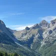
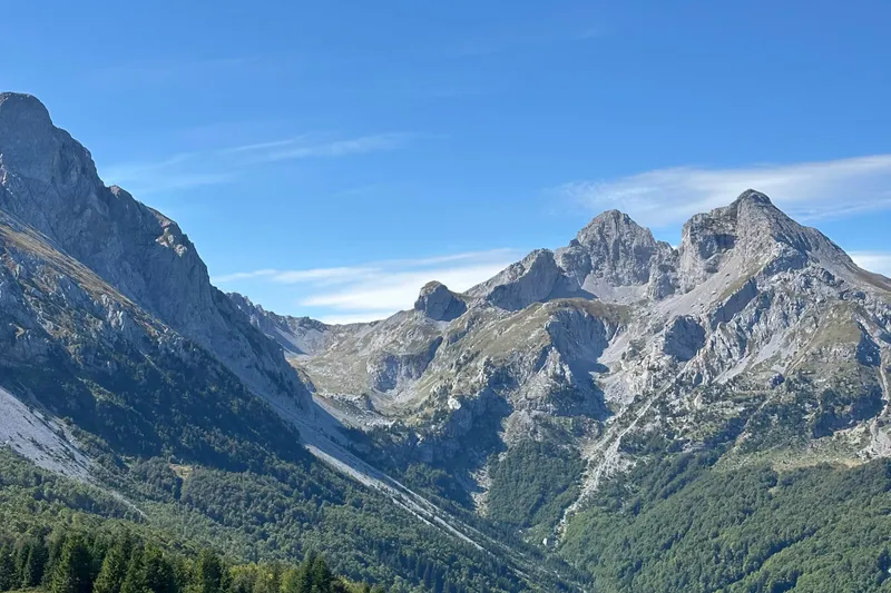
Žijovo (Žijevo in the official survey table) is the border massif of the Kuči mountains in the Capital City Podgorica, about 50 km from the city on the frontier with Albania. Its two highest summits, Surdup, 2,184 m, and Štitan, 2,182 m, are the goal of the marked Žijovo trail, 8.5 km from Bukumirsko jezero, and the view from the top covers most of southern and eastern Montenegro and parts of Albania and Kosovo. Two glacial lakes belong to the massif: Bukumirsko jezero at the trailhead and Rikavačko jezero at 1,313 m under the Žijevo peak, which a car reaches almost to.
Key facts
| Highest summits | Surdup 2,184 m, Štitan 2,182 m |
| Other peaks | Žijevo 2,130 m, Vila 2,093 m, Suvi vrh 2,029 m |
| Marked trail | Žijovo, 8.5 km, from Bukumirsko jezero to the viewpoints on Surdup and Štitan |
| Lakes | Bukumirsko jezero, glacial, 19,320 m²; Rikavačko jezero, 1,313 m |
| Distance | about 50 km from Podgorica, by car through Kuči almost to Rikavačko jezero |
| Municipality | Capital City Podgorica (Kuči) |
| Emergency | 112, which covers mountain rescue |
Peaks
- Surdup, 2,184 m: the viewpoint at the end of the marked trail
- Štitan, 2,182 m: the highest point of the massif in the official survey table, next to Surdup on the ridge
- Žijevo, 2,130 m: the peak that gives the massif its name, above Rikavačko jezero on the Albanian border
- Vila, 2,093 m
- Suvi vrh, 2,029 m
The state border with Albania runs over the massif. The Kuči mountains as a whole combine karst relief, high peaks and glacial lakes, and from their summits the view covers most of southern and eastern Montenegro and parts of Albania and Kosovo.

The Žijovo trail
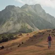
The marked trail "Žijovo" is 8.5 km long, signposted with standard markings along its whole length, and runs from Bukumirsko jezero to the viewpoints on the highest peaks, Surdup and Štitan, which stand next to each other at the top of the massif. Plan it as a full day out: there is no mountain hut on the massif, so carry water and start early enough to be back at the lake in daylight. Trail rules are on the hiking page; the emergency number 112 covers mountain rescue.

Lakes
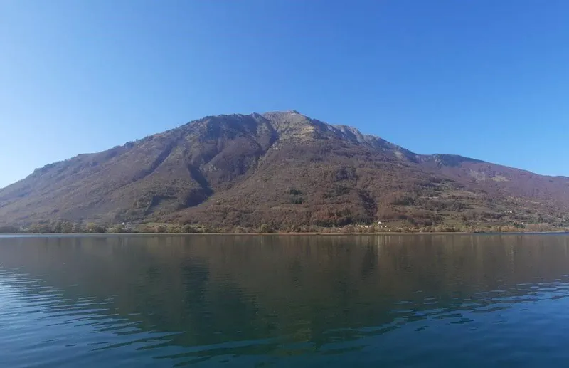
Bukumirsko jezero
A glacial lake in Kuči with a surface of 19,320 m², and the start of the Žijovo trail.
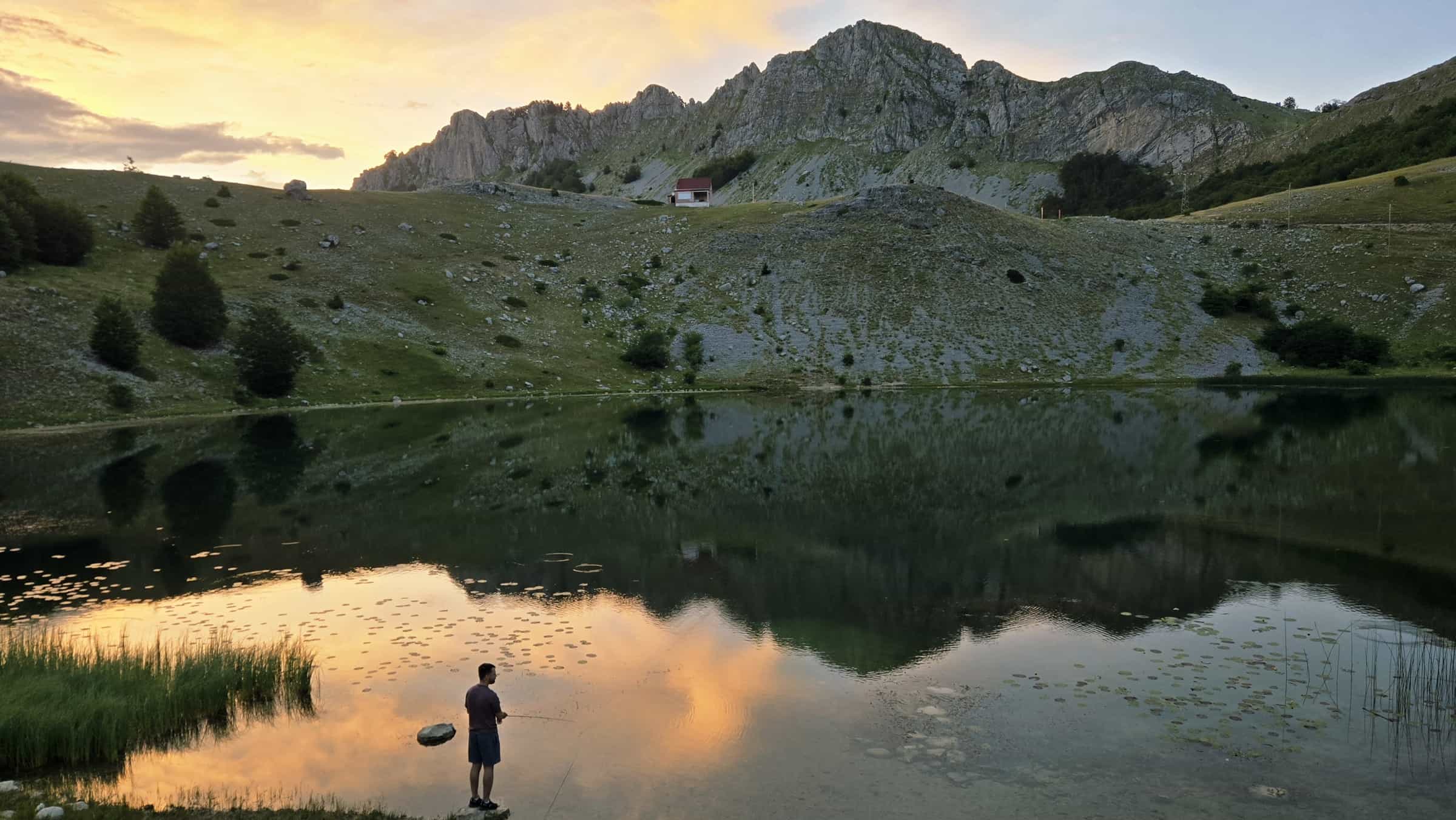
Rikavačko jezero
At 1,313 m in the Kuči mountains, near the Žijevo peak on the Albanian border, about 50 km from Podgorica. The Rikavac stream feeds it and flows on to the Cijevna and the Ribnica. The road through Kuči brings a car almost to the shore, which makes it the easiest point of the massif to reach.

Kuči and the panoramic road
The Kuči mountains lie about 50 km from the Podgorica plain. The Kučka korita circuit, Krug oko Korita, is the first fully marked panoramic road in Montenegro: 65 km from Podgorica into Kuči and to the rim of the Cijevna canyon, sized for a day trip by car.
Getting there
Everything starts in Podgorica. The road through Kuči climbs to Rikavačko jezero, about 50 km, and a car gets almost to the lake; the Žijovo trail starts at Bukumirsko jezero.
Nearby
The Kuči mountains also hold the Kučka korita panoramic road and the canyon of the Cijevna. The Komovi nature park, between Bjelasica and Prokletije and the rivers Lim and Tara, lies partly in the Capital City. Other ranges are on the hiking page.
Questions
How high is Žijovo?
Štitan, 2,182 m, is its highest point in the official survey table; the neighbouring Surdup, the other summit at the end of the trail, is 2,184 m.
Where does the trail start?
At Bukumirsko jezero, from which the 8.5 km marked trail climbs to the Surdup and Štitan viewpoints.
Can you drive to the lakes?
To Rikavačko jezero almost to the shore, through Kuči, about 50 km from Podgorica. The trail to the summits starts at Bukumirsko jezero.
Sources
MONSTAT, Statistical Yearbook 2025, table 1-8 Mountain peaks over 1800 m · Tourist Organisation Podgorica, Hiking and cycling · Tourist Organisation Podgorica, Rikavačko jezero · Tourist Organisation Podgorica, National and nature parks · Parks Dinarides, Park prirode Komovi · EKIP, 112 emergency number press release, Feb 2023 · Tourist Organisation Podgorica, Kuči mountains · Tourist Organisation Podgorica, Circuit around Korita · PSCG (Mountaineering Association of Montenegro): mountain huts · OpenStreetMap node 421610566 "Surdup" (natural=peak), ODbL