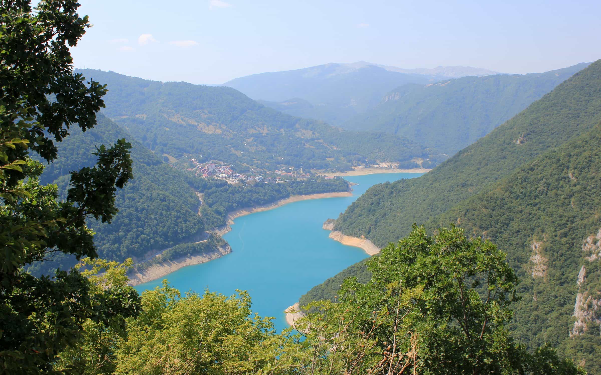
Piva Lake (Pivsko jezero)
The reservoir that fills the Piva canyon above the Mratinje dam: about 13.2 km², up to 188 m deep, backing up the Piva and its side arms for more than 30 km, with a canyon road along it and lake cruises and kayaks from Plužine.
Plužine
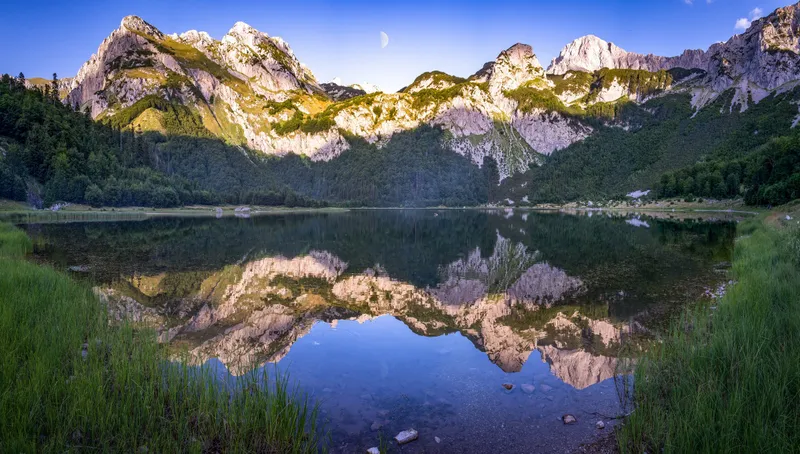
Photo: Julian Nyča · CC BY-SA 4.0
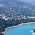
Piva Lake (Pivsko jezero) is the reservoir that fills the Piva canyon above the Mratinje dam, in Plužine municipality in the north-west of Montenegro. The government's 2024 water register puts it at about 13.2 km² and up to 188 m deep, with the river held back for more than 30 km. The M3 road runs along the lake and crosses the top of the dam, so most people see it from the car; the Piva nature park adds lake cruises and kayak hire from Plužine.
The lake in figures
| Type | Reservoir of the Piva river behind the Mratinje dam (hydropower) |
| Area | 13.2 km² (estimated) |
| Length | The river is held back for more than 30 km; the longest side arm, the Vrbnica, is about 5 km |
| Shoreline | About 100 km |
| Maximum depth | 188 m |
| Volume | 880 million m³ |
| Water level | Between 595 m and 675 m above sea level, a swing of up to 90 m |
| Inflows | Komarnica and Vrbnica |
| Outflow | The Piva, which runs about 9.8 km below the dam to meet the Tara at Šćepan Polje |
| Catchment | 1,760 km² |
| Municipality | Plužine; the lake touches 18 settlements, among them Plužine, Mratinje, Goransko and Unač |
A flooded canyon
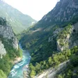
The lake is the Piva backed up through its own canyon, so it is long and narrow between the canyon walls. Its level is not fixed: the power plant draws it down by as much as 90 m between a full 675 m and a low 595 m. The two main feeders are the Komarnica and the Vrbnica; the Vrbnica arm alone reaches about 5 km into its own valley.

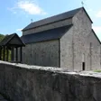
Filling the canyon cost one monument its site. Piva Monastery stood at the source of the Piva at Sinjac, inside the future reservoir; between 1970 and 1982 it was taken down and rebuilt at Goransko, frescoes included. The monastery page tells that story.

The Mratinje dam
The dam at Mratinje is a concrete arch 220 m high with a crest 270 m long, built for the Mratinje hydroelectric plant and completed in the mid-1970s. The M3 (E762) Podgorica-Sarajevo road crosses the top of it, which makes the dam the easiest place to see the full height of the canyon: 220 m straight down on the downstream side. Below it the Piva runs another 9.8 km to Šćepan Polje, where it meets the Tara; the last 3 km form the border with Bosnia and Herzegovina.

The canyon road
The M3 follows the lake from Plužine to the dam and on to Šćepan Polje and the border crossing. Three stops along it are on record: the Kruška viewpoint over the canyon, listed by the nature park; the road bridge at Plužine, a waypoint of the national panoramic road "Crown of Montenegro"; and the dam itself. The Piva canyon viewpoint has its own page, and the viewpoints hub lists the rest of the north.

Cruises and kayaks
Park prirode Piva, the nature park run from Plužine, offers two ways onto the water. Its lake cruise follows the cliffs; a golden eagle nest may be seen on the way and chamois on the slopes, and in summer the water is warm enough to swim in the lake. It also rents four kayaks, with helmets and life jackets, from its premises in Plužine (the park's address is Baja Pivljanina 10). The park publishes no prices, season or booking details for either, so ask at the office before you plan a day around it. The kayaking and boat tours hubs cover the other lakes.
The park covers a large part of Plužine municipality between the Bosnian border and Durmitor National Park, including the Tara, Piva and Sušica canyons. A zip line crosses the lake.
Getting there
Plužine, the municipal seat on the lake shore, is 58 km (about 1 h 15) from Nikšić, 49 km (about 1 hour) from Žabljak, 108 km (about 2 h 15) from Podgorica and 147 km (about 3 hours) from Budva by car. The dam is 61 km (1 h 15) from Žabljak, 74 km (about 1 h 40) from Nikšić and 124 km (about 2 h 40) from Podgorica. The lake is best reached by car.
Nearby
- Piva Monastery at Goransko, the one that was moved for the lake.
- Durmitor National Park and Žabljak to the east.
- Šćepan Polje below the dam, where the Piva meets the Tara; see rafting.
- The Komarnica, the lake's main inflow, with its own canyon.
- Other lakes on the lakes hub.
Questions
Is Piva Lake a natural lake?
No. It is a reservoir created by the Mratinje dam in the 1970s, built for hydropower. Before that the Piva ran through a canyon here.
How deep is Piva Lake?
Up to 188 m by the government's 2024 water register, which marks the figure as an estimate.
Can you swim in Piva Lake?
The water is pleasant for swimming in summer. No official source names beaches or swimming spots on the shore, and the water level can vary by up to 90 m.
Can you drive across the dam?
Yes. The M3 (E762) road crosses the crest of the dam on the way from Plužine to Šćepan Polje.
Is there a boat trip on the lake?
Park prirode Piva runs a lake cruise and rents four kayaks from its premises in Plužine. It publishes no prices or timetable; ask at the office.
Activities
- Kayaking
- Boat Tours
Things to do
Lake cruise
Park prirode Piva's boat along the cliffs; no prices published.
Kayaks
Four kayaks with helmets and life jackets from the park's premises in Plužine (Baja Pivljanina 10).
The Mratinje dam
A 220 m concrete arch with the M3 road across its crest.
Piva Monastery
Taken down and rebuilt at Goransko between 1970 and 1982 to escape the reservoir.
Sources
Government of Montenegro: Registar voda od značaja (2024), PDF p. 102 Pivsko jezero, p. 30 Piva, read 2026-10-18 · Park prirode Piva: home page, read 2026-10-18 · Park prirode Piva: O parku, read 2026-10-18 · Park prirode Piva: Krstarenje (lake cruise), read 2026-10-18 · Park prirode Piva: Kajak, read 2026-10-18 · Park prirode Piva: Vidikovac Kruška, kanjon Pive, read 2026-10-16 · TO Žabljak: Panoramski putevi (Crown of Montenegro route text; Plužine bridge and Mratinje dam), read 2026-10-16 · RTCG, 1 Feb 2020: Prije pola vijeka prenesen manastir Piva, read 2026-10-14 · OpenStreetMap: relation 11538700 Pivsko jezero and way 317535248 Brana Mratinje (start_date 1976), ODbL, read 2026-10-18 · Wikipedia: Mratinje Dam (secondary, pointer only; dam completion year) · Routes computed with OSRM on OpenStreetMap data (ODbL)