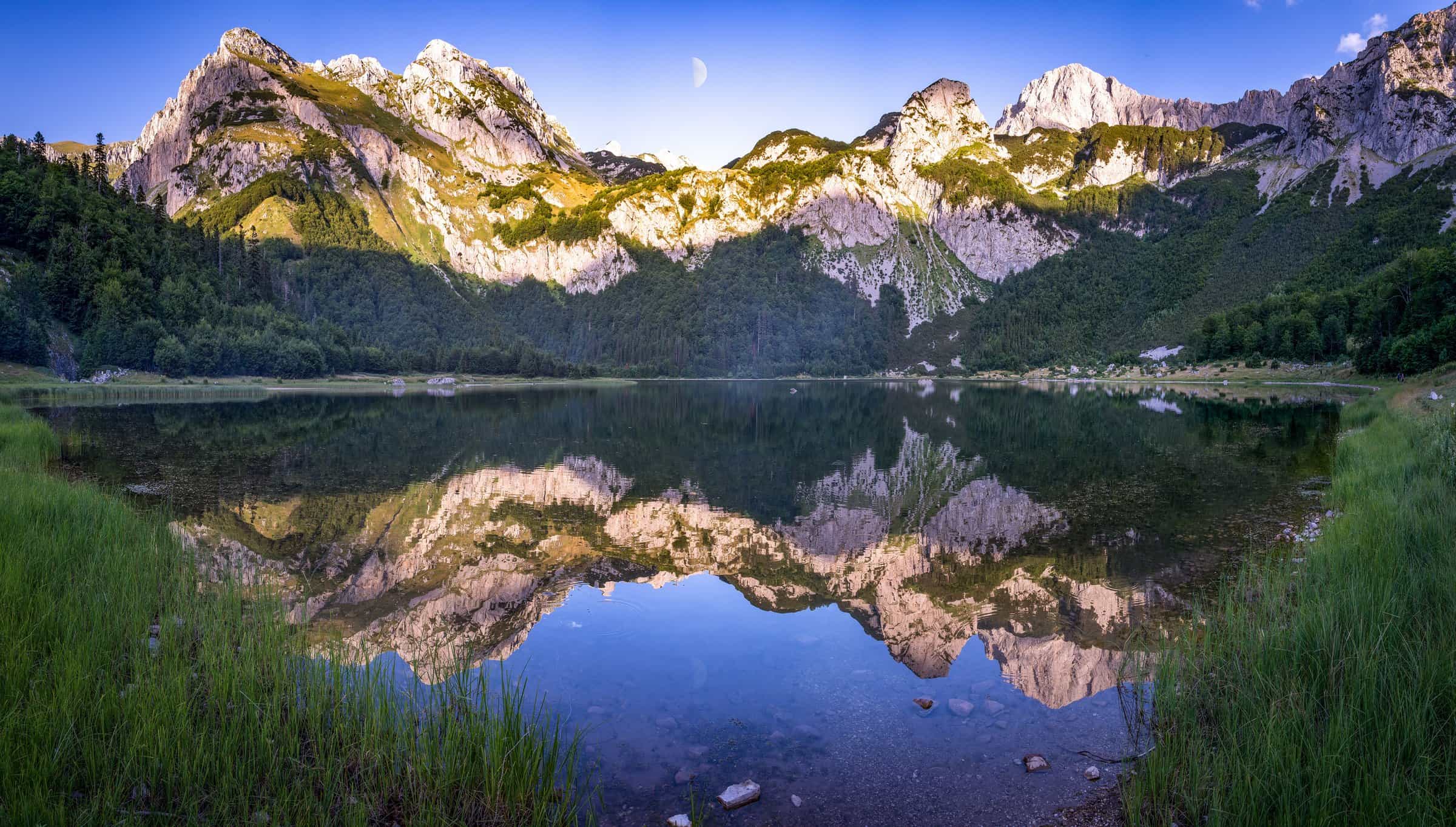
Trnovačko jezero (Trnovačko Lake)
The heart-shaped glacial lake at 1,517 m between Maglić and Volujak in Piva Nature Park: 0.12 to 0.40 km² by season, up to 9.2 m deep, 2 km from the Bosnian border and reached only on foot, with the Stabanjska lakes above Stabna village.
Plužine
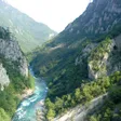
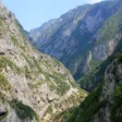
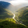
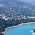
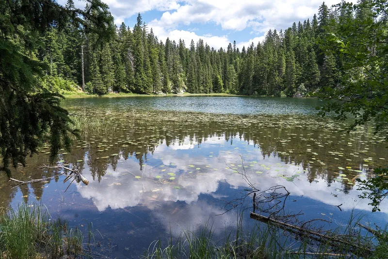
Photo: Vladimir Tadić (Svjetlopis) · CC BY-SA 4.0
Trnovačko jezero (Trnovačko Lake) is a heart-shaped glacial lake at 1,517 m between Maglić and Volujak, in Plužine municipality in the far north-west of Montenegro, about 2 km from the border with Bosnia and Herzegovina. It lies in Piva Nature Park and is reached only on foot, by mountain paths from three directions. The water register assigns the lake to the settlement of Stabna. Its blue-green water covers 0.12 to 0.40 km² depending on the season and is up to 9.2 m deep.
The lake in figures
| Type | Glacial lake |
| Elevation | 1,517 m |
| Area | 0.12 to 0.40 km² depending on the season; about 825 m long and 715 m wide |
| Shoreline | 2.06 km |
| Depth | 3.3 m on average, 9.2 m at most |
| Water | Rain, snowmelt and short seasonal streams; no surface outflow, the lake loses water only by evaporation and seepage |
| Mountains | Maglić (2,386 m) and Volujak |
| Municipality | Plužine, settlement Stabna |
| Protection | Piva Nature Park |
The heart of the mountains
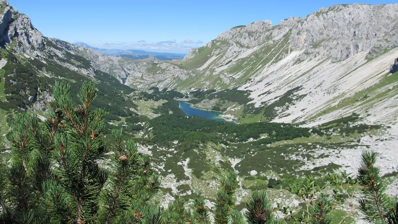
Seen from the slopes above, the lake has the outline of a heart, which is why the nature park calls it the heart of the mountains (srce planina). It is a glacial lake with no stream running out of it: rain, snowmelt and a few short seasonal streams fill it, and it loses water only through evaporation and seepage. The register puts its area between 0.12 and 0.40 km² over the year.

Maglić, 2,386 m, and Volujak stand on either side of the hollow. The lake lies inside Piva Nature Park, the first nature park in Montenegro, proclaimed on 22 April 2015 over nearly 32,500 ha of Plužine municipality as the link between Sutjeska National Park in Bosnia and Herzegovina and Durmitor National Park.
Getting to the lake on foot
No road reaches the lake. Mountain paths come in from three directions, and the national tourism organisation lists the lake with Piva Lake and the Komarnica canyon as the hiking goals of the Piva area. The Via Dinarica White Trail, the long-distance route along the Dinaric Alps, enters Montenegro at the lake on its way from Bosnia and Herzegovina towards the Piva canyon; see the Via Dinarica page.

The lake is 2 km from the border with Bosnia and Herzegovina; plan the walk with a hiking map.
When to go
Mountain hiking in the Maglić area runs from June to the end of October. The lake's area changes with the season, between 0.12 and 0.40 km² over the year.

The Stabanjska lakes
Two smaller glacial lakes lie on Bioč, about 4 km north-north-west of Stabna village (the park brochure gives 4.5 km). Veliko Stabanjsko jezero sits at 1,319 m: 0.04 km², about 305 m long and up to 9.7 m deep. Malo Stabanjsko jezero, lower at 1,194 m, is 0.011 km², about 165 m long and 4.3 m deep. Both are in Piva Nature Park.
The park marks two trails from them. The harder one runs Stabanjska jezera-Kručica-Krvava brda-Ćuprija-Vitao to Veliki Vitao (2,397 m), the highest point of the park. The easier one goes Stabanjska jezera-Zemunica-katun Kručica-Stabna.
Getting there
Stabna, the settlement the water register assigns the lake to and where the easier Stabanjska lakes trail ends, is 13.1 km (about 30 minutes) from Plužine and 71.0 km (about 1 h 45) from Nikšić by car. Plužine is 108.2 km (about 2 h 15) from Podgorica. The lake itself is reached only on foot.
Nearby
- Maglić, 2,386 m, the mountain above the lake.
- The Stabanjska lakes on Bioč, above Stabna village.
- Piva Lake and the Piva canyon road from Plužine.
- Durmitor National Park to the east, with the Škrčka jezera in the same municipality.
- Other lakes on the lakes hub; more routes on the hiking page.
Questions
Can you drive to Trnovačko jezero?
No. The lake is reached only on foot, by mountain paths from three directions.
How big is the lake?
Between 0.12 and 0.40 km² depending on the season, about 825 m long and 715 m wide, up to 9.2 m deep, at 1,517 m above sea level.
Why is it called the heart of the mountains?
Because of its shape: from above, the lake looks like a heart. The nature park uses the name srce planina.
Which mountains stand around it?
Maglić, 2,386 m, and Volujak. The border with Bosnia and Herzegovina is about 2 km away.
Activities
- Hiking
Things to do
Walk to the lake
Mountain paths from three directions; no road. The national tourism organisation lists it among the hiking goals of the Piva area.
Via Dinarica
The White Trail along the Dinaric Alps enters Montenegro at the lake.
The Stabanjska lakes
Two glacial lakes on Bioč above Stabna village, with a marked trail to Veliki Vitao (2,397 m) and an easier trail that ends at Stabna.
Maglić
Maglić, 2,386 m, stands over the lake; the mountain has its own page.
Sources
Uprava za vode: Registar voda od značaja za Crnu Goru, 2nd edition, July 2024, p. 38 Trnovačko jezero, p. 40 Stabanjska jezera, read 2026-11-02 · Park prirode Piva: Plužine brochure (PDF), read 2026-11-02 · Parks Dinarides: Park prirode Piva, read 2026-10-14 · NTO: Hiking and trekking (Piva area goals; season June to end October), read 2026-11-02 · MONSTAT, Statistical Yearbook 2025, table 1-8 Mountain peaks over 1800 m (Maglić 2,386 m), read 2026-10-14 · Via Dinarica: Montenegro (White Trail enters Montenegro at Trnovačko jezero) · OpenStreetMap node 9051622166 "Stabna" (place=hamlet), ODbL · Routes computed with OSRM on OpenStreetMap data (ODbL)