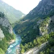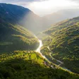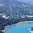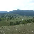
Piva canyon viewpoint, Babići
Nature Park Piva's lookout into the canyon, 1.7 km (or 1.3 km by the park's distance table) on foot from the Babići rest area.
Photo: Julian Nyča · CC BY-SA 4.0
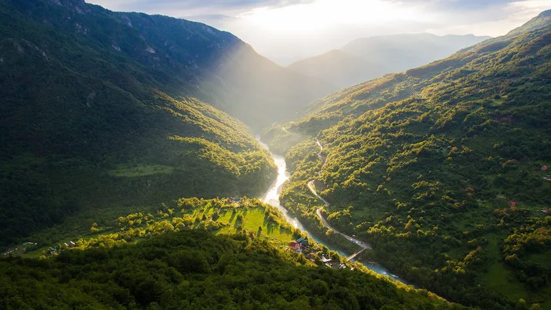
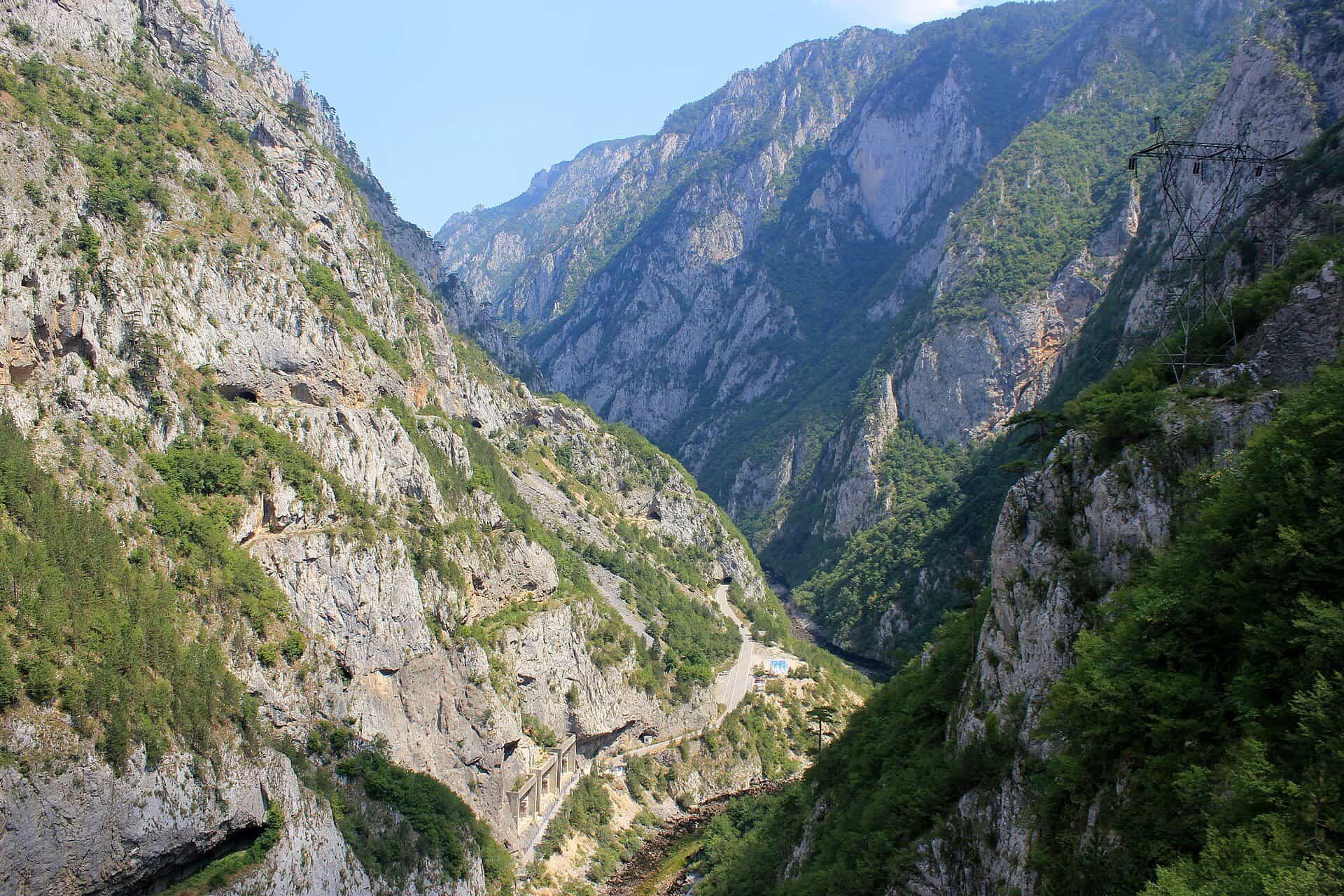
The Piva canyon viewpoint near Babići is the lookout that Nature Park Piva, the park's manager, lists as the one that looks into the canyon of the Piva: down to the Mratinje dam and across to the Vučevo plateau. It is at 43.27778, 18.85853, north-west of the Babići rest area on a cleared path: 1.7 km according to the viewpoint's listing, 1.3 km according to the rest area's distance table. The canyon is 33 km long and up to 1,200 m deep.

How to get there
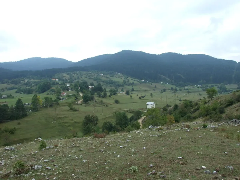
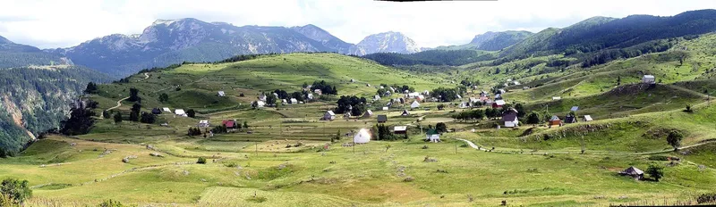
- Babići rest area (43.27778, 18.86890) is the starting point. It lies on the park's circular loop from Crkvičko Polje via Babići, Jerinići and Grab spring back to Crkvičko Polje (trails 195a, 195 and 198, mainly a cycle route), 6.4 km from Crkvičko Polje and 2.5 km from Jerinići. The rest area has its own views of Bioč, Maglić, Vučevo, Vagan and the Dolovi plateau; the canyon and the dam are seen from the canyon viewpoint.
- From the rest area, a cleared path leads north-west to the canyon viewpoint. The park gives the distance as 1.7 km on the viewpoint's own page and in the rest area's description, and as 1.3 km in the rest area's distance table. Both figures are published here.
- The park prints the same point label, T-235, for the viewpoint and the rest area; their coordinates differ.
- No altitude is published for either point, and parking at the viewpoint itself is not described; the rest area is the nearest described stopping point.
What you see
The canyon below, the Mratinje dam, 220 m high, and the Vučevo plateau opposite. The hydroelectric plant dates from 1976; old Plužine and the Piva monastery were moved to higher ground for the lake.

The park's other viewpoints
| Viewpoint | GPS | Where | View |
|---|---|---|---|
| Kruška | 43.16877, 18.85773 | On the Plužine-Trsa road (bike route 193), at a hairpin below Kruška peak | Piva Lake, Plužine, Ledenice, Bioč |
| Zagrađe (Šćepan Polje) | 43.34508, 18.85363 | About 80 m from the car park at Zagrađe monastery | Šćepan Polje and the Tara-Piva confluence, where the Drina begins |
| Sokolina, Crkvičko Polje | 43.31713, 18.93735 | Crkvičko Polje | Durmitor, Maglić, Volujak, Zelengora; the Tara canyon from Brštanovica to Štuoc |
The park lists nine viewpoints in all; Soko peak, Maričina greda and Muratovica have their own pages. In the same municipality: the 1,400 m zip line over Piva Lake, the Via Ferrata Piva near the bridge, and the Brštanovica put-in for Tara rafting.