Sinjajevina
High pasture plateau about 40 km long between Kolašin and Šavnik with summer katuns; highest point Babin zub, 2,253 m, which the Kolašin tourist board calls Torna, 2,277 m.
2,253 m · Northern Region
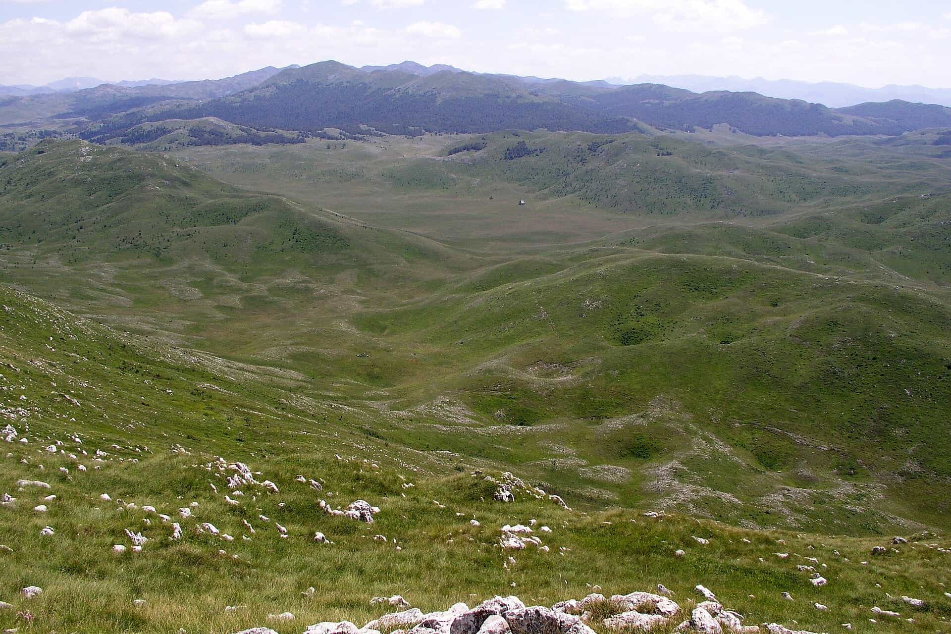
Photo: JYB Devot · CC BY-SA 4.0
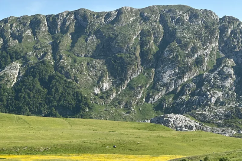
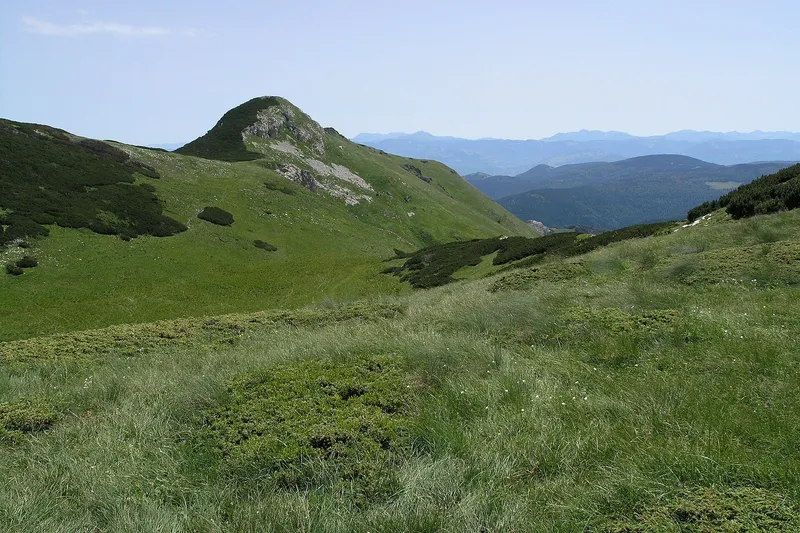
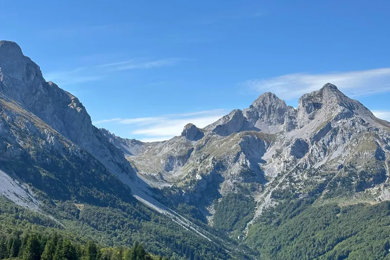
Sinjajevina is a high plateau about 40 km long between Kolašin and Šavnik, the largest Montenegrin mountain by extent: rolling grassland rather than rock, grazed in summer from katuns such as Ječmen do. Its highest point is Babin zub, 2,253 m (the Kolašin tourist board gives 2,277 m for the same summit under the name Torna). The marked routes start on the Kolašin side around Gornje Lipovo, about 10 km from the town; the trekking season runs from May to the end of October, and from December to March the plateau is used for ski touring and snowshoeing.
Key facts
| Highest peak | Babin zub, 2,253 m; the Kolašin tourist board gives 2,277 m and calls it Torna |
| Other peaks | Jablanov vrh 2,223 m (2,203 m for the tourist board), Pećarac 2,041 m, Babin vrh 2,010 m, Gusar 1,907 m, Mramorje 1,852 m |
| Extent | about 40 km, in the municipalities of Kolašin and Šavnik; Mojkovac villages at its foot |
| Trailheads | Gornje Lipovo (Klisura, 1,185 m), the Ropušica spring (1,360 m) and Lipovska Bistrica (980 m), all on the Kolašin side |
| Protection | none |
| Season | May to the end of October for trekking (the tourist board's hiking and biking season is June to September); December to March for ski touring and snowshoeing |
| Base towns | Kolašin; Šavnik on the opposite side |
| Emergency | 112, which covers mountain rescue |
Peaks
- Babin zub (Torna), 2,253 m: the highest point; 2,277 m for the tourist board
- Jablanov vrh, 2,223 m: 2,203 m for the tourist board; a marked trail with a summit box
- Pećarac, 2,041 m
- Babin vrh, 2,010 m
- Gusar, 1,907 m: the lowest of the marked summits
- Mramorje, 1,852 m
Most of the mountain is undulating grassland rather than rock, used as summer pasture: the katuns of Sinjajevina and the layered cheese (lisnati sir) of the Kolašin area are on the national cheese road, and the plateau is one of the blueberry areas in the north. Villages of Mojkovac also lie at its foot, next to Bjelasica and the Prošćenje mountains.

Hikes from the Kolašin side
All marked routes start on the Kolašin side; Gornje Lipovo is about 10 km from the town. Grades follow the tourist board's scale: Hard I needs good fitness, Medium III is a medium route.
| Route | Length | Ascent | Time | Grade |
|---|---|---|---|---|
| Torna (Babin zub) from Gornje Lipovo, Klisura, 1,185 m | 5.4 km | 1,092 m | 3 h 30 min | Hard I |
| Jablanov vrh from the Ropušica spring, 1,360 m | 8.9 km | 843 m | 3 h 30 min | Medium III |
| Gusar from Lipovska Bistrica, 980 m | 7.8 km | 927 m | 3 h 30 min | Medium III |
| Gornje Lipovo via the Vratlo pass to Ječmen do katun, 1,600 m | - | - | - | easy |

Torna
The direct summit route: 5.4 km with 1,092 m of climbing from Klisura. There is no water on the trail, and the grassy and rocky section before the top is exposed, with rockfall and a risk of slipping.
Jablanov vrh
Marked from the Ropušica spring, with water at the start and a box with a logbook on the summit. An easier, unmarked approach over open slopes starts higher up, at the Grkovo reservoir (1,780 m).
Gusar and Ječmen do
Gusar, 1,907 m, takes about 3 h 30 min from Lipovska Bistrica. The walk from Gornje Lipovo over the Vratlo pass to the Ječmen do katun at 1,600 m is the easy option and shows the pasture landscape the plateau is known for. Overnight options are free camping or the mountain huts. The general rules for marked trails are on the hiking page; the emergency number 112 covers mountain rescue.
Via Dinarica and other ways across
Stage 40 of the Via Dinarica White Trail crosses the plateau from Žabljak to Biogradska gora: 78.2 km, the longest of the six Montenegrin stages. Multi-day horse-riding tours run on Sinjajevina as on Bjelasica, Durmitor and Piva, and in winter guided snowmobile tours go out on Sinjajevina and Bjelasica, only where motor access is allowed.
Winter
There is no ski centre. Sinjajevina and Bjelasica are the two Kolašin mountains for ski touring and snowshoeing, from December to March; winters on the plateau are cold.
Getting there and season
Kolašin is the base: 57 km and about 57 minutes by car from Podgorica, free-flow driving time, and Gornje Lipovo is about 10 km further. Šavnik lies on the opposite side of the plateau, framed by five mountains: Durmitor, Vojnik, Sinjajevina, Ivica and the Moračke planine. The trekking season is May to the end of October; the Kolašin tourist board's season for hiking and biking is June to September.
Nearby
On the Kolašin side, Bjelasica is the other massif walked from the town, with Biogradska gora National Park and Komovi beyond it. Žabljak is the base for Durmitor, and the Prošćenje mountains rise above Mojkovac.
Questions
How high is Sinjajevina?
2,253 m at Babin zub; the Kolašin tourist board gives 2,277 m for the same summit, which it calls Torna.
Is Sinjajevina hard to hike?
Torna is a steep 1,092 m climb graded Hard I, with an exposed top and no water on the way. Jablanov vrh and Gusar are Medium III, each about 3 h 30 min up, and the walk to the Ječmen do katun is easy.
Can you ski on Sinjajevina?
Not on lifts: there is no ski centre. Ski touring and snowshoeing run from December to March, and guided snowmobile tours go where motor access is allowed.
Sources
MONSTAT, Statistical Yearbook 2025, table 1-8 Mountain peaks over 1800 m · Tourist Organisation Kolašin, Mount Sinjavina · TO Kolašin, trail Torna (Babji zub) · TO Kolašin, trail Jablanov vrh from Ropušica · TO Kolašin, trail Jablanov vrh from Grkovo · TO Kolašin, trail Gusar · TO Kolašin, trail Katun Ječmen do · TO Kolašin, Ski touring · Tourist Organisation Šavnik, Šavnik on the slopes of five mountains · Tourist Organisation Mojkovac, Mojkovac villages · National Tourism Organisation, Hiking and trekking · National Tourism Organisation, Snow sports · National Tourism Organisation, Horse riding · National Tourism Organisation, Food routes · National Tourism Organisation, Herbalism · Via Dinarica trail portal, White Trail stage list · Routes computed with OSRM on OpenStreetMap data (ODbL) · EKIP, 112 emergency number press release, Feb 2023