Ljuča, Grnčar and Vruja
The three streams at the head of the Lim: the Grnčar from Albania, the Vruja from the springs south of Gusinje, and the Ljuča they form, which carries almost all of Lake Plav's water to the lake. One fly-fishing zone around Plav and Gusinje.
12.76 km · North-east Montenegro · Mountain headwater river of the Lim
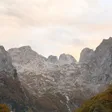
Photo: Andre Hospers · CC BY 4.0
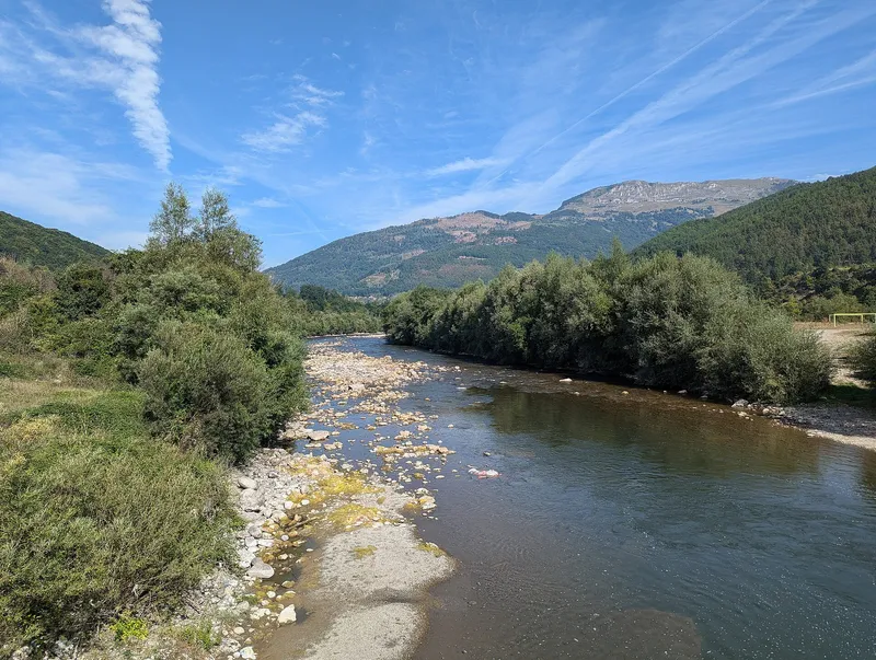
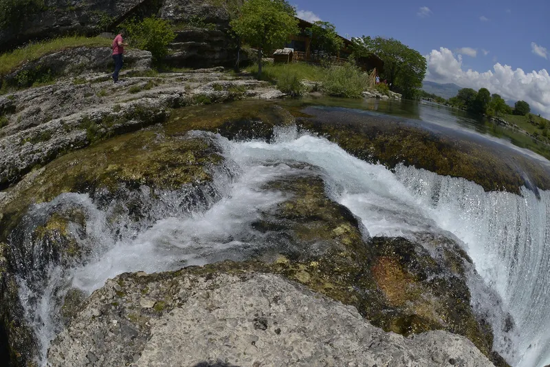
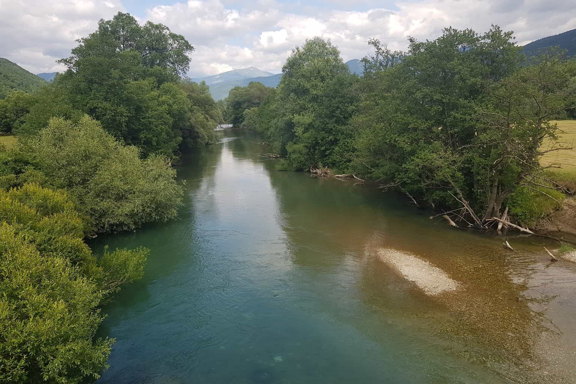
The Ljuča is the short river that feeds Lake Plav, and with it the Lim. It forms below Gusinje where the Grnčar, arriving from Albania, meets the Vruja, and runs 12.76 km to the lake; the river that leaves the lake is the Lim. Almost all of the lake's water comes down the Ljuča from the Prokletije. For visitors the three streams are one fly-fishing zone around Plav and Gusinje, known above all for grayling.
Grnčar
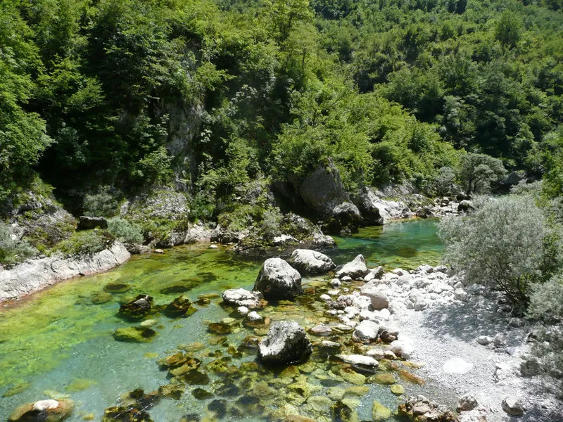
The Grnčar is one of the 13 rivers the Water Administration lists as being of importance for Montenegro. Its source lies partly in Montenegro, east of the Maglić massif at Gornje Stravče in Podgorica municipality; the stream then runs about 10 km through Albania as the Vermosh and re-enters Montenegro at the settlement of Grnčar in Gusinje municipality. From there the register gives 9.0 km in Montenegro, of which 2.2 km form the border with Albania, with a mean gradient of 5.9 m/km, an entry elevation of 1,020.6 m and 916.4 m at its end. The catchment in Montenegro is estimated at about 27 km². The 2021 water management plan records a natural water body "Grnčar" of 6.71 km, which need not cover the whole course. A hydrological station, Grnčar-Gusinje, is one of three on Lim tributaries.
Vruja
The Vruja is the stream that meets the Grnčar to form the Ljuča. It is fed by the Ali-pašini izvori, which Tourist Organisation Gusinje describes as karst springs at 925 m at the foot of Vezirova brada, a kilometre from Gusinje. The flood-risk plan names a left-bank embankment 400 m up- and downstream of the Vruja bridge, maintained at about €50,000 a year.
Ljuča
Below the confluence the river is the Ljuča: a natural water body of 12.76 km in Gusinje municipality in the 2021 plan, lying in the "Prokletije" groundwater body whose valleys follow the Grnčar and the Ljuča. It flows into Lake Plav, which MONSTAT records at 1.99 km², 906 m above sea level and 9.1 m deep at most, in Plav municipality. The lake's outflow is the Lim, so the Grnčar, Vruja and Ljuča are in effect the upstream part of that river.

Floods
Floods in Plav and Gusinje come almost every year, from rain in November and December and snowmelt from February to April; the last large one was at the end of 2010. The 2025 environmental assessment of the flood-risk plan names uncontrolled gravel extraction in the Grnčar bed as one of the key causes. Flood-risk area APSFR05 Grnčar is to get an 842 m embankment, first phase under way, at an indicative cost of €5.63 million.
Fishing
The National Tourism Organisation's Plav zone covers the Ljuča, Lake Plav and 4 km of the Lim's start, and lists grayling, brown trout, huchen, lake trout (blatnjača), pike, chub and nase; it names both Gusinje and Plav as fly-fishing spots. Fishing is allowed only with a daily zone permit from the sport-fishing club that manages the stock, single hook in the fly zones. With the Lim and the Zlorečica, the Ljuča was a venue of a European fly-fishing championship (year not given). Under the national order of 2026 (Sl. list CG 75/2026, in force 11 June 2026) the Ljuča is closed from 1 October to 1 May, except from Cirikače down to the village stadium in Martinovići and from Gaz Turkovića down to the lake, including the river mouth; Lake Plav is closed from 1 October to 1 April. Huchen and pike are under a closed season in all waters until 1 April 2029: any caught must be returned alive. Other zones are on the fly-fishing hub.
Getting there
- Gusinje: the town at the confluence; the Grnčar enters Montenegro at the settlement of the same name.
- Plav: the lake and the start of the Lim.
The mountains above are in Prokletije National Park.
Questions
Where does the Lim start?
At the outflow of Lake Plav. The water arrives through the Ljuča, which the Grnčar and the Vruja form below Gusinje.
How long is the Ljuča?
12.76 km as a water body in the 2021 water management plan; no separate figure appears in the Water Register.
Can you fish the Grnčar?
The NTO zone names the Ljuča, Lake Plav and the Lim; the Grnčar is not among them.
Activities
- FishingDaily zone permit from the managing club (NTO); closed 1 October-1 May except two stretches (2026 order); huchen and pike released until 1 April 2029 · permit required
Things to do
Fly fishing
NTO Plav zone on the Ljuča, Lake Plav and the Lim source; daily permits from the local club.
Lake Plav
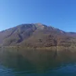
The lake the Ljuča feeds, 1.99 km² at 906 m.
Fish species
- Grayling
- Brown trout
- Huchen (Danube salmon)
- Lake trout (blatnjača)
- Pike
- Chub
- Nase
Sources
Water Administration of Montenegro, Registar voda od značaja za Crnu Goru, 2nd ed. (July 2024), entries Grnčar and Lim · Water management plans for the Danube and Adriatic basin areas, 2021 (data.gov.me, CC BY) · Government of Montenegro, Strategija upravljanja vodama Crne Gore (June 2017) · EPA Montenegro, SEA of the flood-risk management plan, Danube basin (January 2025) · National Tourism Organisation of Montenegro, Fly fishing · MONSTAT, Statistical Yearbook 2025, table 1-6 Natural lakes · Wikipedia, Gusinje · Ministarstvo poljoprivrede, šumarstva i vodoprivrede, Naredba o ribolovnim zabranima, lovostaju i minimalnim veličinama riba (Sl. list CG 75/2026), Art. 3