Kotor serpentine road
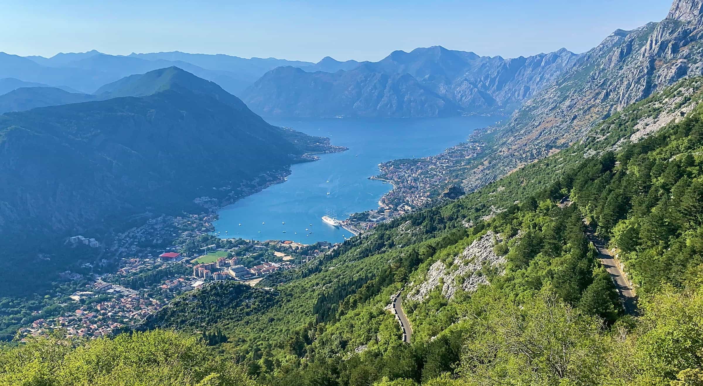
The old Austro-Hungarian road between Kotor and Njeguši, with viewpoints over the Bay of Kotor and a hairpin count the two tourist boards disagree on.
Photo: Alexander Klink · CC BY 4.0
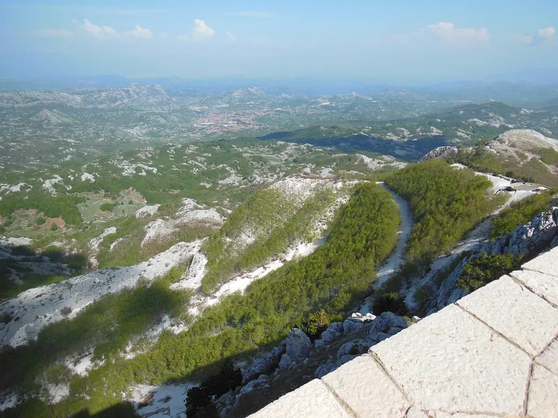
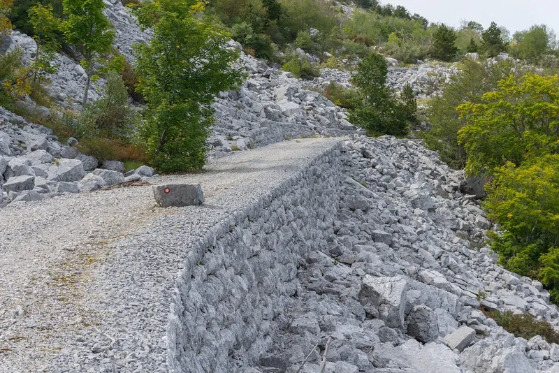
The Kotor serpentine is the old Austro-Hungarian road that climbs from Škaljari, above Kotor, to the Krstac pass and on to Njeguši and Cetinje. The Kotor tourist office recommends arriving from Cetinje this way for its many viewpoints over the bay; Žanjev do is the first of them after Njeguši. The two tourist boards disagree on the number of hairpins: Kotor's says 25, Cetinje's says 32.

How many hairpins
- The Kotor tourist office (Škaljari article): the old road from Škaljari to Njeguši is known for its 25 hairpins with views of the bay.
- The Cetinje tourist office: 32 serpentines separate Kotor from Lovćen.
- A secondary source (Wikipedia, citing Matica crnogorska) gives 25 in its text and 23 in a photo caption.

The counts probably differ in where they start and stop. No official source gives the road's length or the altitude of Krstac; OpenStreetMap places the saddle at 937 m, which is not an official figure.
What is documented
- The Cetinje-Krstac (Njeguši) section was built in 1879-1881 and is the oldest vehicle road in Montenegro (a secondary source citing Matica crnogorska, 2012).
- The national tourism organisation's panoramic route "Sea and Heights" (283 km) runs Kotor-Tivat-Lovćen-Cetinje; the NTO advises against the panoramic routes for large campers and inexperienced motorhome drivers.
- Inside Lovćen National Park, the Kuk viewpoint at 1,348 m looks down on the Bay of Kotor; the park's loop trail to Kuk is 14 km, about 4 hours. Krstac itself is among the viewpoints the park names as reachable on marked trails.
Where to stop
At the Trojica crossroads above Škaljari the roads split: one to Vrmac, one to the Austro-Hungarian fort Goražde, Mirac and Njeguši, and one down to the Grbalj plain. Higher up, the Kotor tourist office names Žanjev do as the first viewpoint after Njeguši when driving down, and the best place to take in the bay below. The other pull-offs on the hairpins have no official names or coordinates.

The NTO does not recommend its panoramic routes for large campers or inexperienced motorhome drivers.
The Ladder of Kotor
The old mule path from Kotor up towards Krstac, known as the Ladder of Kotor (Kotorske skale), is described only in travel sources, which disagree on its switchback count, so it is not described here. The St John's fortress is the walled climb above the Old Town, and the Kotor-Lovćen cable car is the other way up to the Lovćen side.
Nearby
Up the road: Jezerski vrh and the Njegoš mausoleum (1,657 m), the 420 m zip line at Njeguši and the park's mountain-bike loops.
On these trips
- 3 days in Montenegro: Kotor, Lovćen, BudvaDay 3 · Lovćen serpentines, Njeguši, the mausoleum, Cetinje and Budva
- 7 days in Montenegro: coast to Durmitor loopDay 3 · Lovćen serpentines, Njeguši, the mausoleum, Cetinje and Budva
- Day trips from Kotor: 7 trips with drive timesTrip 3 · Lovćen by the serpentine road: Njeguši, the mausoleum, Cetinje
- 10 days in Montenegro: the full loop by carDay 3 · Lovćen serpentines, Njeguši, the mausoleum, Cetinje and Budva
Draft, not yet checked · How we check facts
Sources
Kotor Tourist Organisation: Vrmac · TO Cetinje: Attractions (32 serpentines) · NTO: Panoramic roads of Montenegro · National Parks of Montenegro: Lovćen, active holidays · Wikipedia: R-1 regional road (secondary; cites Matica crnogorska 2012) · NTO: Zipline · OpenStreetMap node 8898153095 'Krstac' (natural=saddle, ODbL) · NTO: Kotor Cable Car (upper station Kuk, 1,348 m)