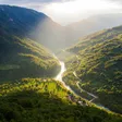
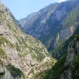
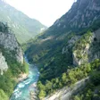
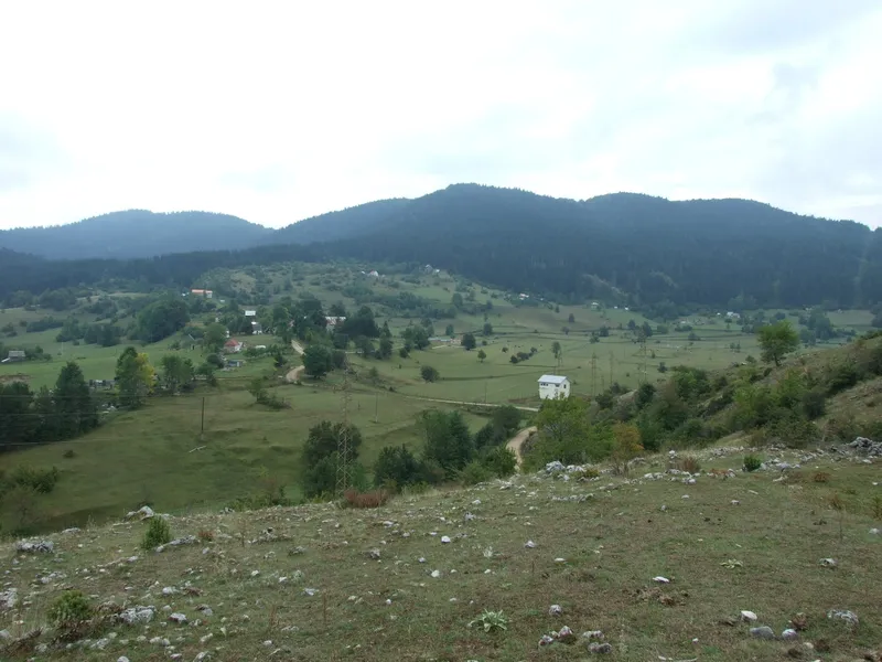
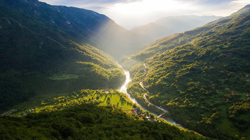
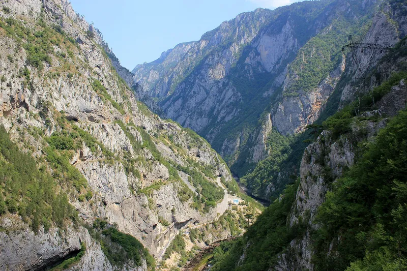
Maričina greda, 1,106 m, is a viewpoint and rest point of Nature Park Piva on the Zagonica side of Crkvičko Polje, in Plužine municipality. Its view is centred on the Tara canyon from Brštanovica to Grab (Vjernovići), with Sokolina and the Crkvičko Polje upland to the side. It sits on the park's trail 192c, 3.6 km from the church at Križevac and 4.6 km from the Spomen dom in Rudine.
How to get there
- Trail: 192c, from Crkvičko Polje via Poljice and Milići to Zagonica, a multi-use walking trail; the section from Zagonica to Bukova ravan is a harder mountain trail.
- From Križevac: 3.6 km from the church.
- From the Spomen dom: 4.6 km via Rasovača and Marići.
- From Bukova ravan: 1.1 km, with 390 m of height difference, through hornbeam, beech and pine. This is the short, steep way.
- GPS: 43.334533, 18.925417 (the park's point T-255, published as 43°20.072' N, 18°55.525' E).
On the Križevac and Spomen dom approaches the climb is spread over 3.6 and 4.6 km; from Bukova ravan the whole 390 m comes in 1.1 km, so allow extra time there.
What you see
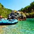
The Tara canyon between Brštanovica, where the rafting trips start, and Grab, with Sokolina and Crkvičko Polje to the side.

The Spomen dom
The Spomen dom in Rudine, one of the starting points, is a memorial home to the Igman March. The trail to Soko peak also starts here.
Nearby
The Soko peak viewpoint, 1,439 m, starts from the same Spomen dom on an easy 2.7 km trail and adds Durmitor, Pivska planina and part of the Piva canyon to the view. Ćurevac above Žabljak looks over the Tara canyon from the Durmitor side. Tara rafting runs the river below from Brštanovica. The Piva monastery and Piva lake lie to the south, around Plužine.
Questions
Which approach is easiest? From Križevac church (3.6 km) or the Spomen dom (4.6 km) on trail 192c; the Bukova ravan section is short but climbs 390 m in 1.1 km.
Can I drive to it? It is a point on walking trail 192c; the starting points are Križevac church, the Spomen dom and Bukova ravan.
Which part of the Tara is in view? From Brštanovica, where rafting trips start, to Grab at Vjernovići.