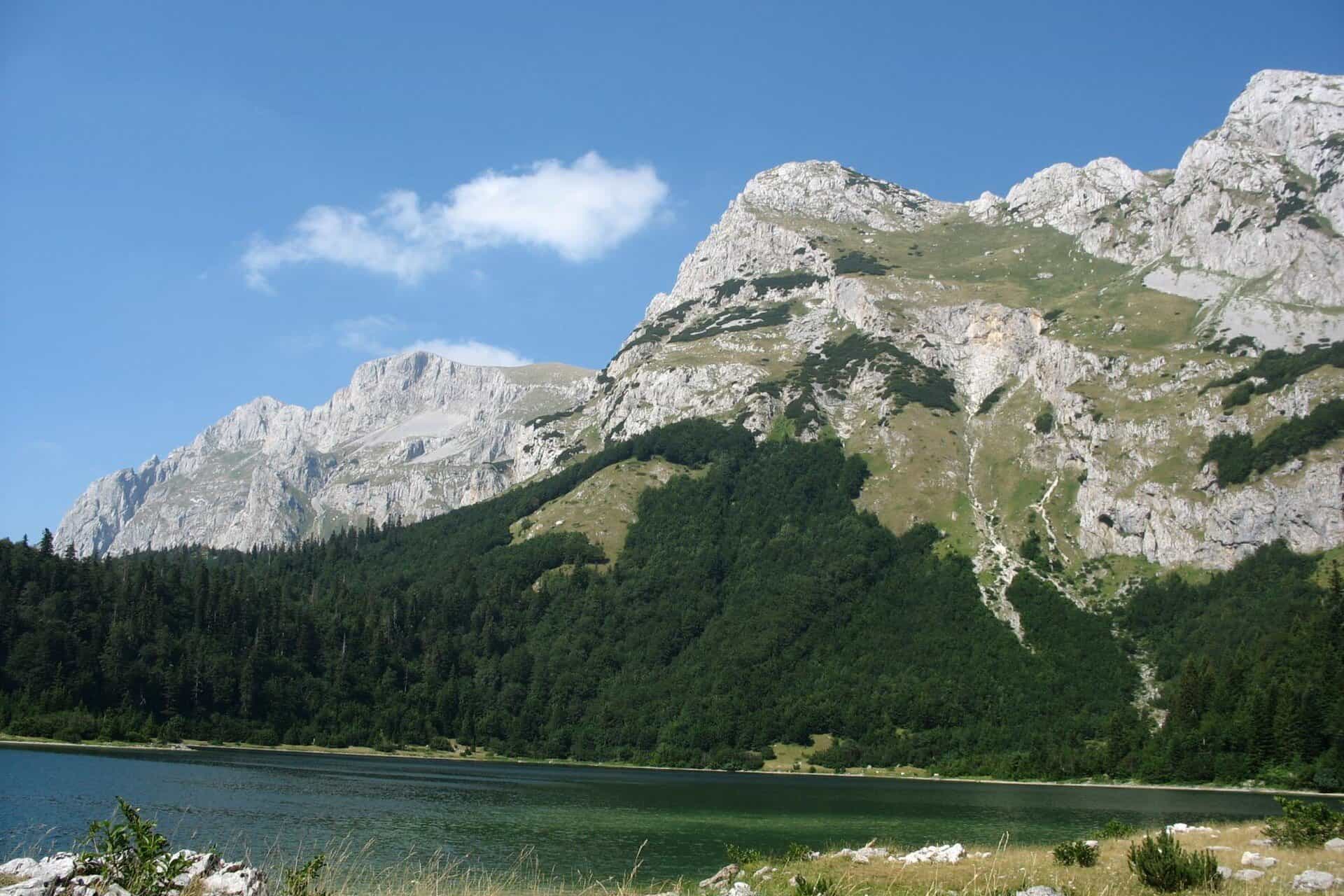
Maglić
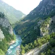
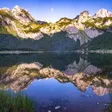
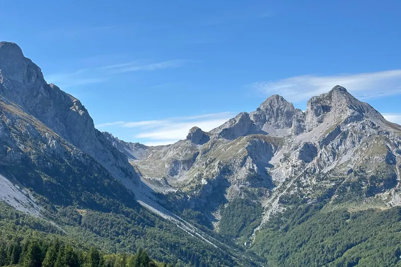
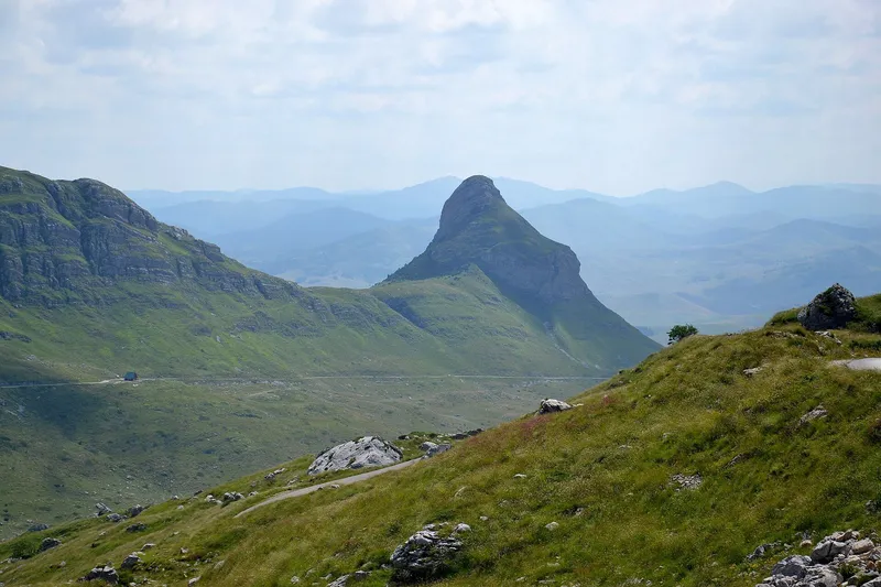
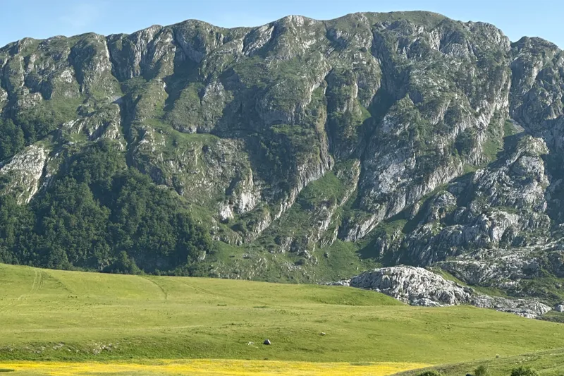
Border summit of 2,386 m above Plužine, in the Piva nature park beside Bioč and Volujak, with the heart-shaped Trnovačko jezero below.
2,386 m · Northern Region
Photo: Dingoa · CC BY-SA 3.0
Maglić is a 2,386 m summit on Montenegro's border with Bosnia and Herzegovina, in the municipality of Plužine and inside the Piva nature park. It is not the highest peak in Montenegro: Bioč beside it is 2,396 m, and Bobotov kuk on Durmitor (2,522 m) and Zla kolata in Prokletije (2,534 m) are higher still. Below the summit lies Trnovačko jezero, the heart-shaped lake at 1,517 m that is reached only on foot. The hiking season is June to the end of October, and Plužine, 110 km from Podgorica, is the base.
Key facts
| Height | 2,386 m |
| Neighbouring peaks | Bioč 2,396 m; Volujak, whose Studenac is 2,254 m |
| Protection | Piva nature park, proclaimed 22 April 2015, nearly 32,500 ha |
| Lake | Trnovačko jezero, 1,517 m, mountain paths only |
| Season | June to the end of October |
| Base town | Plužine, 110 km from Podgorica |
| Emergency | 112, which covers mountain rescue |
Peaks
- Bioč, 2,396 m (the park gives 2,397 m): the highest point of the group
- Maglić, 2,386 m: the border summit
- Volujak: its Studenac is 2,254 m in the official survey table

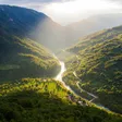
A different peak called Maglić, 2,141 m, belongs to Crna planina elsewhere in Montenegro and should not be confused with this one. The three mountains stand above the Piva, and the nature park was created to join Sutjeska National Park in Bosnia and Herzegovina to Durmitor National Park: it was Montenegro's first regional nature park, and it also takes in the canyons of the Tara, the Piva and the Sušica.
Hikes
There is no marked summit route on the Montenegrin side with a published length, time or grade, so plan the ascent with a map and ask in Plužine about conditions. The long-distance route is better described: stage 38 of the Via Dinarica White Trail runs from Maglić to Pivska planina through the Piva canyon, 29.9 km, shared between Bosnia and Herzegovina and Montenegro, and stage 39 continues across Durmitor (41.7 km). Trnovačko jezero is reached only on mountain paths, from three directions. Maglić is among the massifs hiked from June to the end of October. Trail rules and the national network are on the hiking page.
Lakes and viewpoints
The Piva nature park has five lakes: Trnovačko jezero below Maglić, Crkvičko, Malo and Veliko Stabanjsko, and Pivsko jezero, the reservoir on the Piva. The Mratinje dam that holds it is 220 m high with a crest 270 m long, the water is backed up for over 30 km, and the M3 (E762) road from Podgorica towards Sarajevo crosses the dam. Two of the park's viewpoints look at Maglić: the Babići rest area on the Crkvičko Polje loop sees Bioč, Maglić, Vučevo, Vagan and the Dolovi plateau, with the Piva canyon viewpoint a short walk beyond it, and Sokolina at Crkvičko Polje takes in Durmitor, Maglić, Volujak and Zelengora together with the Tara canyon.

Getting there and season
Plužine, the base town, is 110 km from Podgorica on the M3 (E762), which runs along the lake and over the dam towards Sarajevo and the Bosnian border. The nature park's office is in Plužine, at Baja Pivljanina 10; it runs lake cruises and rents kayaks. The season is June to the end of October. Nordic skiing is possible in the Piva area in winter; there is no ski centre. The emergency number 112 covers mountain rescue.

Nearby
The Piva nature park joins Maglić's range to Durmitor and Žabljak; Vojnik lies between Plužine, Šavnik and Nikšić. Plužine itself has the Piva Lake zip line, at 1,400 m the longest in Montenegro, the Piva climbing crag about 2 km from the town with 61 routes, and Via Ferrata Piva near the bridge over the Piva; one-day Tara rafting trips start on the Plužine side of the canyon, and the Piva monastery was moved between 1970 and 1982 when the reservoir flooded its original site.
Questions
Is Maglić the highest mountain in Montenegro?
No. At 2,386 m it is below Bioč (2,396 m) in the same group, below Bobotov kuk on Durmitor (2,522 m) and below Zla kolata in Prokletije (2,534 m).
Is Maglić in a protected area?
Yes, in the Piva nature park (park prirode), proclaimed in 2015.
How do you reach Trnovačko jezero?
Only on foot: mountain paths lead to the lake, at 1,517 m, from three directions. There is no road.
Sources
MONSTAT, Statistical Yearbook 2025, table 1-8 Mountain peaks over 1800 m · Parks Dinarides, Park prirode Piva · Nature Park Piva, O parku · Nature Park Piva, home page (office, cruises, kayaks) · Nature Park Piva, Vidikovac i odmorište Babići · Nature Park Piva, Vidikovac Sokolina, Crkvičko Polje · Nature Park Piva, Zip Line · Nature Park Piva, Penjalište Piva · Nature Park Piva, Rafting · Government of Montenegro, Registar voda od značaja (2024), Pivsko jezero · RTCG, 1 Feb 2020: Prije pola vijeka prenesen manastir Piva · Via Dinarica trail portal, White Trail stage list · National Parks of Montenegro, Prokletije, active holidays (Zla kolata) · National Tourism Organisation, Hiking and trekking · EKIP, 112 emergency number press release, Feb 2023