The Stories by the Water (Top Trail 5) cycling route
Top Trail 5, The Stories by the Water, is the shortest of Montenegro's five national cycling routes: a 236 km loop from Cetinje by Lake Skadar and along the coast to Ulcinj, Ada Bojana and Bar, back over the Sutorman pass, in 2-3 days with 3,900 m of climbing.
Loop from Cetinje around Lake Skadar and the south coast · 2-3 days (236 km)
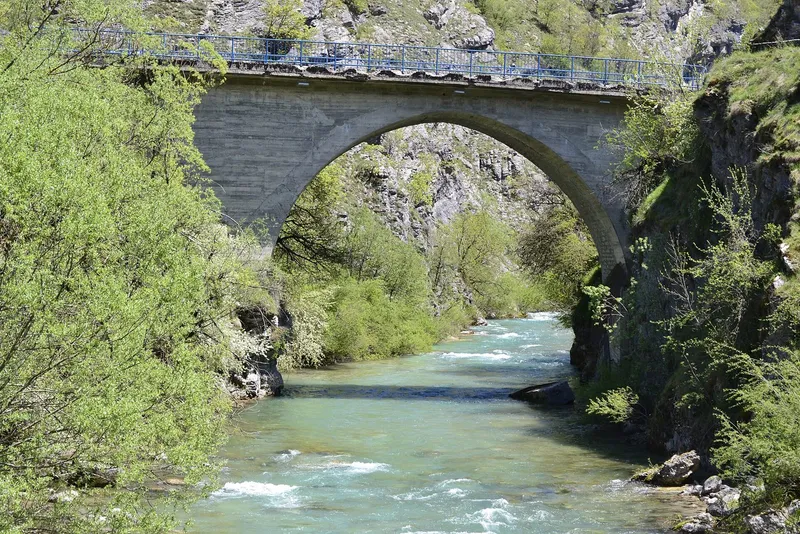
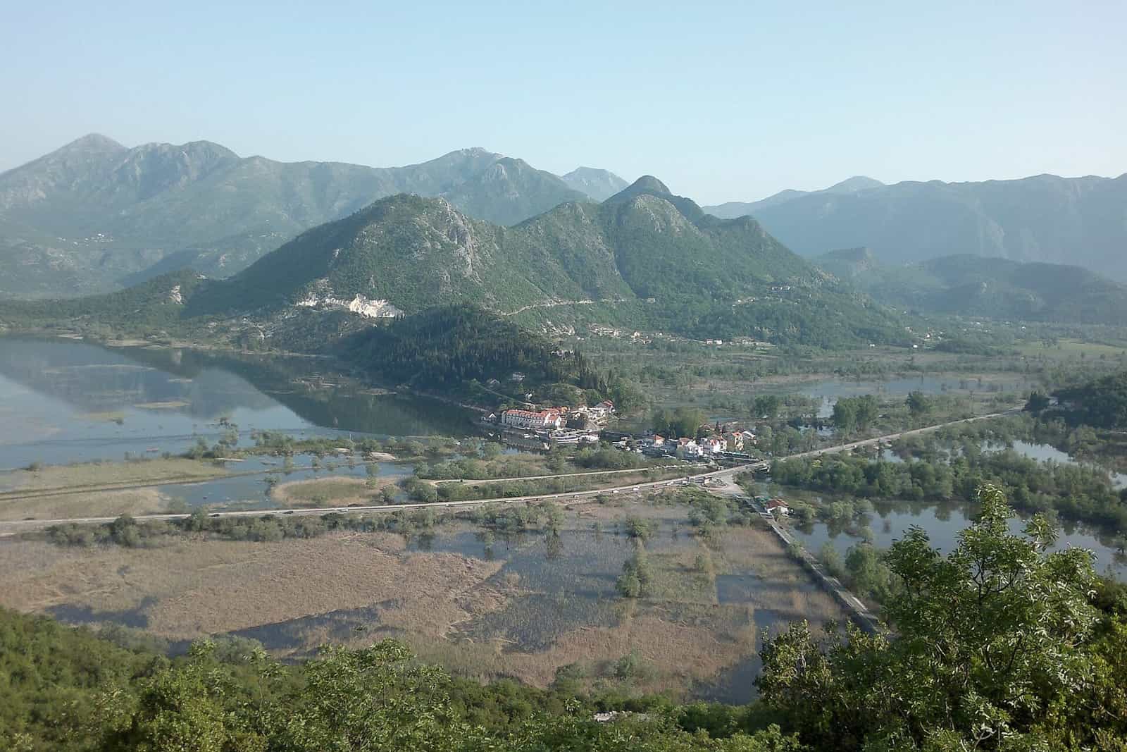
Photo: Antidiskriminator · CC BY-SA 3.0
The Stories by the Water (Priče pokraj vode) is Top Trail 5, the shortest of Montenegro's five national cycling routes: a 236 km loop from Cetinje down to Rijeka Crnojevića and Virpazar on Lake Skadar, on through Ostros, Kravari and Vladimir to Ulcinj and Ada Bojana, and back by Bar and the Sutorman pass in 2 to 3 days. It climbs 3,900 m in total between 2 m at Ada Bojana and 790 m at Sutorman, and with nothing higher than that it rides all year.

Key facts
| Length | 236 km |
| Days | 2-3 |
| Total climb | 3,900 m |
| Highest point | 790 m, Sutorman pass on Rumija, above Bar |
| Lowest point | 2 m, Ada Bojana |
| Start and finish | Cetinje, at the petrol station at the town exit (660 m); loop |
| First section | Cetinje via Rijeka Crnojevića to Virpazar, 39 km |
| Water | spring water along the route is drinkable |
| Marking | signposts along the route, plus the GPX track for navigation |
| Grade | moderate |
The route
The first section, from Cetinje via Rijeka Crnojevića to Virpazar, is 39 km. It starts at the petrol station at the Cetinje exit at 660 m, passes the Belvedere restaurant at 1.8 km and then drops for 15.5 km to Rijeka Crnojevića at 25 m, the old river port at the head of Lake Skadar. From Virpazar the elevation profile runs through Ostros, Kravari and Vladimir to Ulcinj and on to Ada Bojana, the island at the mouth of the Bojana and the lowest point of the loop at 2 m. The way back leads through Bar and over the Sutorman pass on Rumija at 790 m, the high point, before the return to Cetinje. Traffic is a risk only on short busy sections, and the springs along the way give drinkable water.

Climbing and daily distances
3,900 m of ascent over 236 km: two days means stages of about 118 km with roughly 1,950 m of climbing each, three days about 79 km and 1,300 m. The first day is mostly downhill, from 660 m at Cetinje to the lake; the climbing is concentrated on the coast-to-lake crossing at Sutorman and the final rise back to Cetinje. The grade is moderate. Plan the stages from the GPX track.

When to ride
Cycling in Montenegro is possible all year, and this is the Top Trail that fits the claim: nothing on it is higher than the Sutorman pass at 790 m, so the loop is ridden in every season, with the summer heat of the coast and the lake as the thing to plan around rather than snow.
Signposts, brochure and GPX
Signposts mark the route along its whole length. Ride with the GPX track loaded as well: it is the reference line of the route and the way to check position on remote sections, and the stages are best planned from it. The brochure (English, PDF) carries the elevation profile with the places on the way, the route description and the kit list. The route was traced by Tane Minić, the texts are by Jovan Eraković, and the publisher is the Regional Development Agency for Bjelasica, Komovi and Prokletije, with the Austrian Development Agency and the Ministry of Sustainable Development and Tourism.
Getting to the start
The loop starts and ends at Cetinje, at the petrol station at the town exit (660 m), at 42.388, 18.930. Virpazar, Ulcinj and Bar are the overnight towns on the way.
Safety
Ride in a group on the remote sections and carry a map and compass or a GPS, a phone, a torch, basic tools and a spare tyre. The emergency number is 112.
Rest days and nearby
The loop runs through Skadar Lake National Park, which has 5 road and 2 mountain-bike routes of its own from Virpazar, Rijeka Crnojevića and Dodoši; kayaking on Skadar Lake is the rest-day option there. Shorter rides in the same area are the loop from Podgorica through Virpazar and Rijeka Crnojevića among the national routes and, from the Bar tourist organisation, the routes from Rijeka Crnojevića via Virpazar to Ckla (65 km, 470 m of climbing) and from Virpazar via Sutorman to Bar (34 km, 730 m of climbing), the Sutorman crossing as a day route. At Cetinje, cycling in Lovćen National Park and Lipa Cave are close by, and on the coast Velika plaža runs from Ulcinj to Ada Bojana.

The five Top Trails
The national Top Trails are five signposted multi-day routes with a brochure and a GPX track each, all on the cycling hub.
| Route | Length |
|---|---|
| Salty and Sweet (Top Trail 1) | 626 km |
| North Discoveries (Top Trail 2) | 390 km |
| Magic East (Top Trail 3) | 305 km |
| Endless Landscapes (Top Trail 4) | 415 km |
| The Stories by the Water (Top Trail 5) (this page) | 236 km |
Questions
How long is Top Trail 5?
236 km, in 2 to 3 days; it is the shortest of the five national routes.
How hard is it?
3,900 m of climbing over the loop, with the Sutorman pass at 790 m as the high point; the first day drops 15.5 km from Cetinje to Rijeka Crnojevića. The grade is moderate.
Is there water on the way?
Yes; spring water along the route is drinkable.
Is it marked?
Yes, with signposts along the whole route; the GPX track is the second navigation aid and the one to rely on away from the towns.
Highlights
- 236 km loop from Cetinje in 2-3 days
- 3,900 m of climbing; high point Sutorman 790 m, low point Ada Bojana 2 m
- Lake Skadar, Ulcinj, Ada Bojana and Bar; rideable all year
- Signposted, with the NTO brochure and GPX track; drinkable springs