Hajla
2,403 m summit about 15 km from Rožaje, with the Štedim plateau, the Grope hut at 1,900 m and the Bandžov base for easy routes; the lift-served Hajla ski centre is on Turjak.
2,403 m · Northern Region
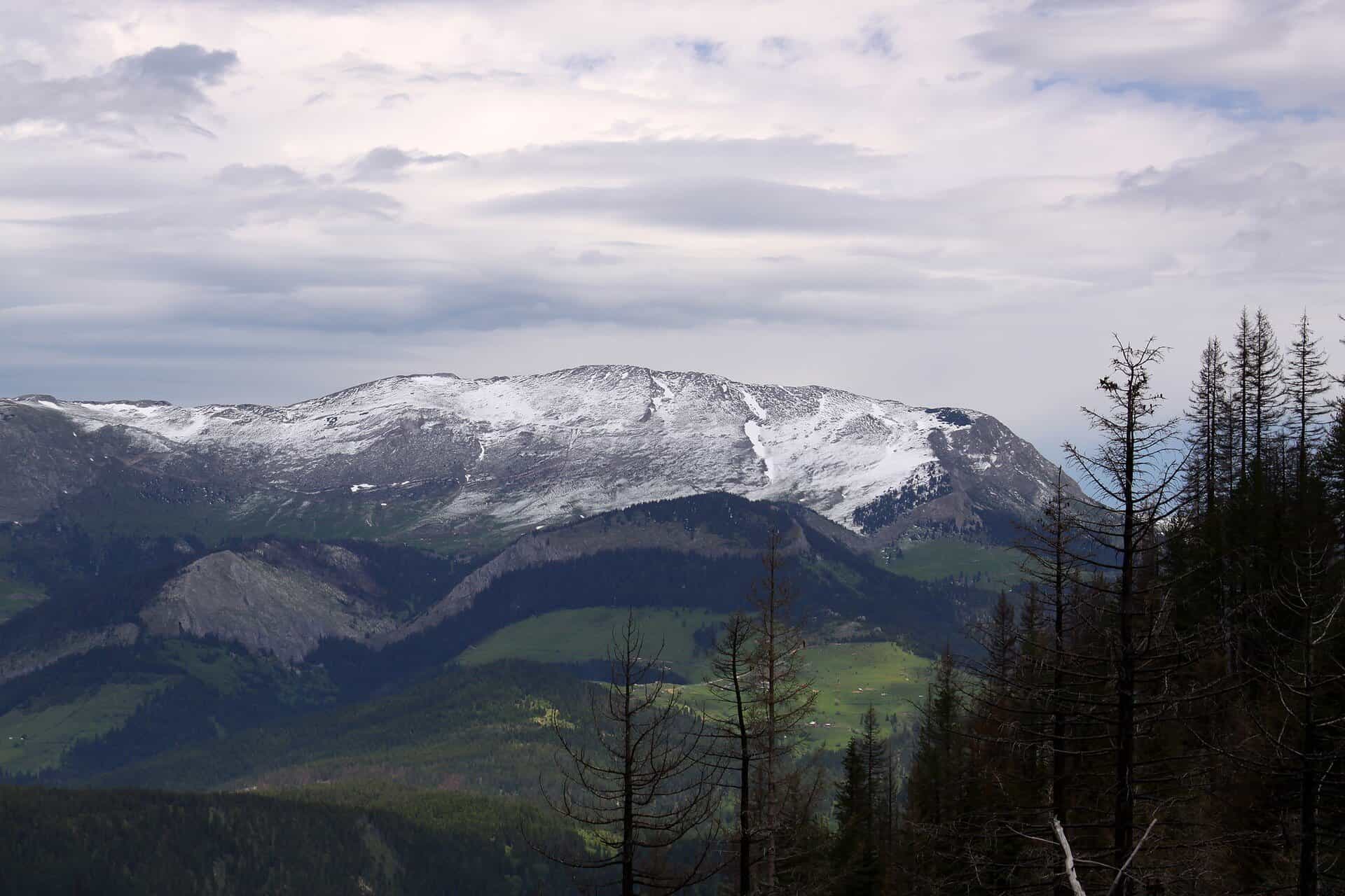
Photo: Snownjeri · CC BY-SA 3.0
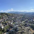
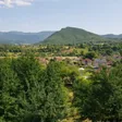
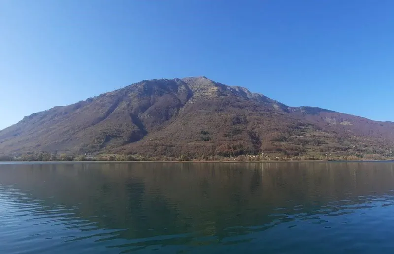
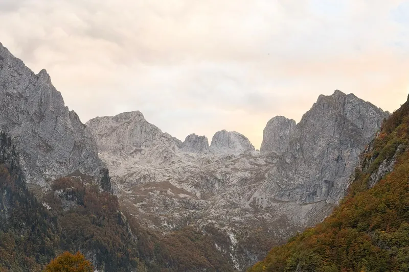
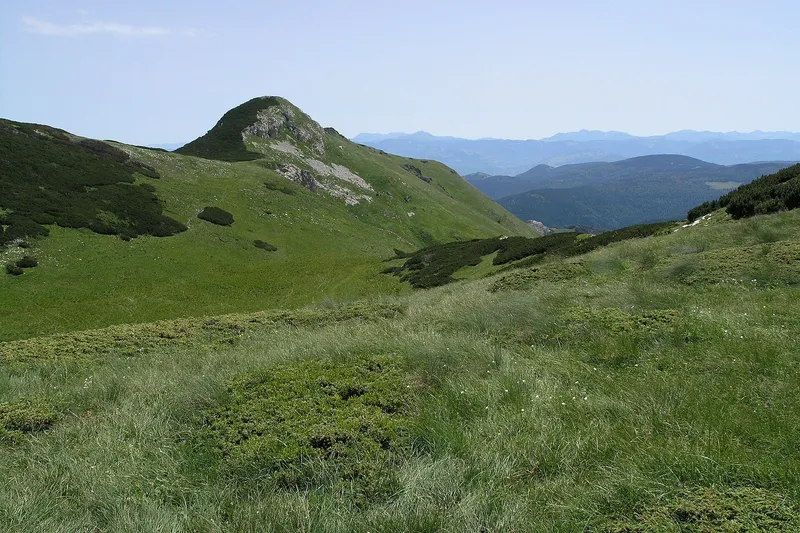
Hajla is the 2,403 m mountain above Rožaje in the far east of Montenegro, about 15 km from the town centre and the highest of the peaks around it. Two bases serve it: Bandžov at about 1,400 m, where the easy routes start, and the Grope mountain hut at about 1,900 m below the summit, with rooms for about 60. The hiking season is June to the end of October; in winter the Štedim plateau is used for ski touring and snowshoeing, while the lift-served ski centre that carries the name Hajla stands on neighbouring Turjak, 8 km from the town.
Key facts
| Summit | Hajla, 2,403 m |
| Other peaks | Štedim 2,272 m and Maja Dramadol 2,119 m in the same group; around the town also Žljeb 2,322 m and Smiljavica 1,953 m |
| Bases | Bandžov, about 1,400 m (Jelenčica hut, Dermano restaurant, eco-katuns); Grope hut, about 1,900 m, rooms for about 60 |
| Protection | none |
| Season | June to the end of October; winter on the Štedim plateau |
| Base town | Rožaje, at about 1,100 m |
| Skiing | Hajla ski centre on Turjak, 8 km from the town; Hajla-Štedim, a state centre under construction |
| Emergency | 112, which covers mountain rescue |

Peaks and the Štedim plateau
- Hajla, 2,403 m: the summit, about 15 km from the centre of Rožaje
- Štedim, 2,272 m
- Maja Dramadol, 2,119 m
- Žljeb, 2,322 m, and Smiljavica, 1,953 m: the other peaks around the town
Štedim is a plateau between Ahmica, Žlijeb and Rusolija at 1,700 to 2,000 m, the winter ground for ski touring and snowshoeing. The Ibar rises from six springs below Hajla at 1,360 m; the spring, Vrelo Ibra, is about 10 km from the centre of Rožaje, and the river leaves Montenegro early on its 276 km course to the West Morava. Blueberries grow on Hajla as on Prokletije, Bjelasica and Sinjajevina, and the summit is in the panorama from Komovi, 40 km away.

Hikes and huts
Bandžov, at about 1,400 m, is the start of the easy routes: the Jelenčica hut, the Dermano restaurant and eco-katuns stand there. The Grope mountain hut at about 1,900 m sits below the summit with rooms for about 60 visitors and is the base for the top. Rujišta lake, at about 1,500 m, is among the mountain sights around the town. Two events belong to the mountain: the memorial winter climb of Hajla "Safet Mavrić Ćako" and the Dan Hajle mountain marathon. The season for the high mountains is June to the end of October; the general rules for marked trails are on the hiking page, and the emergency number 112 covers mountain rescue.
Skiing
Two different places carry the name Hajla. The operating Hajla ski centre is on Turjak, 8 km from Rožaje on the Berane side: a baby lift and an anchor lift for 840 skiers an hour, one run of 1,019 m (the Rožaje tourist board gives about 1,500 m for the main piste), parking for 200 cars, equipment rental and repair, a ski and snowboard school and the Košuta restaurant 150 m from the piste; it opens when there is snow. Nearby, the two surface lifts of the former Turjak hotel, on private land, have been out of service since 2005. The second is Hajla-Štedim, a state ski centre under construction on the Štedim side, funded from the capital budget like Kolašin 1600, Žarski and Cmiljača: a six-seat chairlift under a €9 million contract, whose construction began in 2020 and whose pylons and bottom station stand, with the 7.2 km Rožaje-Štedim road rebuilt for it. The operating centres are on the skiing page.
Getting there and season
Rožaje, at about 1,100 m in the Ibar valley, is the base: 124.2 km and about 2 h 23 min by car from Podgorica, 134.2 km (about 2 h 36 min) from Podgorica Airport and 30.7 km (about 45 min) from Berane, free-flow driving times. The Berane road passes the Turjak ski area. The climate is continental with mountain features, about 900 mm of precipitation a year and long snowy winters: the summer season is June to the end of October, and the Turjak lifts and the Štedim touring routes open when there is snow. The national Top Trail 3 cycling loop passes Rožaje and the spring of the Ibar.
Nearby
Berane and Cmiljevica to the west, Prokletije above Plav and Gusinje as the other high range of the east, Komovi beyond Andrijevica, and the Ibar from its spring below the mountain through the town.
Questions
Is there skiing on Hajla?
The lift-served centre named Hajla is on Turjak, 8 km from Rožaje, with a baby lift, an anchor lift and one run of 1,019 m. On Hajla itself the Štedim plateau is used for ski touring and snowshoeing, and the state Hajla-Štedim centre with a six-seat chairlift is under construction there.
Where do you sleep on Hajla?
At the Grope hut at about 1,900 m (rooms for about 60) or at Bandžov at about 1,400 m, where the Jelenčica hut and the eco-katuns are.
How high is Hajla?
2,403 m. Štedim, 2,272 m, and Maja Dramadol, 2,119 m, belong to the same group, and Žljeb above the town is 2,322 m.
Sources
MONSTAT, Statistical Yearbook 2025, table 1-8 Mountain peaks over 1800 m · Tourist Organisation Rožaje, About Rožaje · Tourist Organisation Rožaje, What to visit · Tourist Organisation Rožaje, Active holidays · Tourist Organisation Rožaje, Events · National Tourism Organisation, Skiing · National Tourism Organisation, Hiking and trekking · National Tourism Organisation, Herbalism · National Tourism Organisation, Top Trail 3 brochure (PDF) · Tourist Organisation Andrijevica, Planinarenje (what is visible from Komovi) · Obradović, S. (2021), Water Quality of the Middle and Lower Course of the Ibar River, Serbian Journal of Geosciences 7 · Government of Montenegro, Informacija o skijalištima u Crnoj Gori (2014) · Share Montenegro, 11 Mar 2019, Ski centar Hajla season report · Ministry of Tourism, answer to MP question on state ski centres · Biznis.rs, 22 Sep 2025, Hajla-Štedim investment · SeeNews, Strucon chairlift contract for Hajla-Štedim · Routes computed with OSRM on OpenStreetMap data (ODbL) · EKIP, 112 emergency number press release, Feb 2023